Far Hill
Hill, Mountain in Cumberland Copeland
England
Far Hill

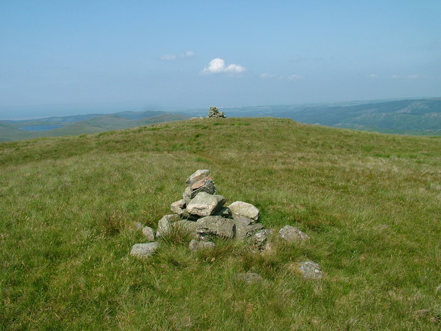
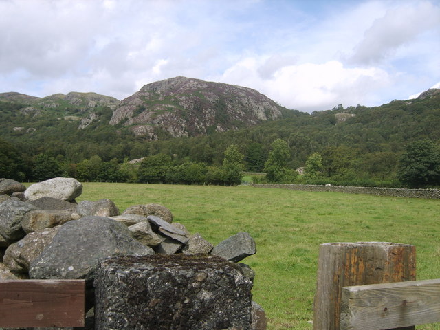
Far Hill is a prominent natural landmark located in Cumberland, an area known for its picturesque landscapes and diverse terrain. Rising to an elevation of 1,300 feet, it is considered one of the highest points in the region, making it an appealing destination for outdoor enthusiasts and nature lovers.
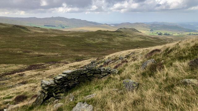
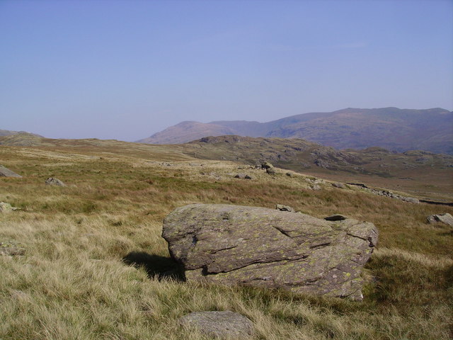
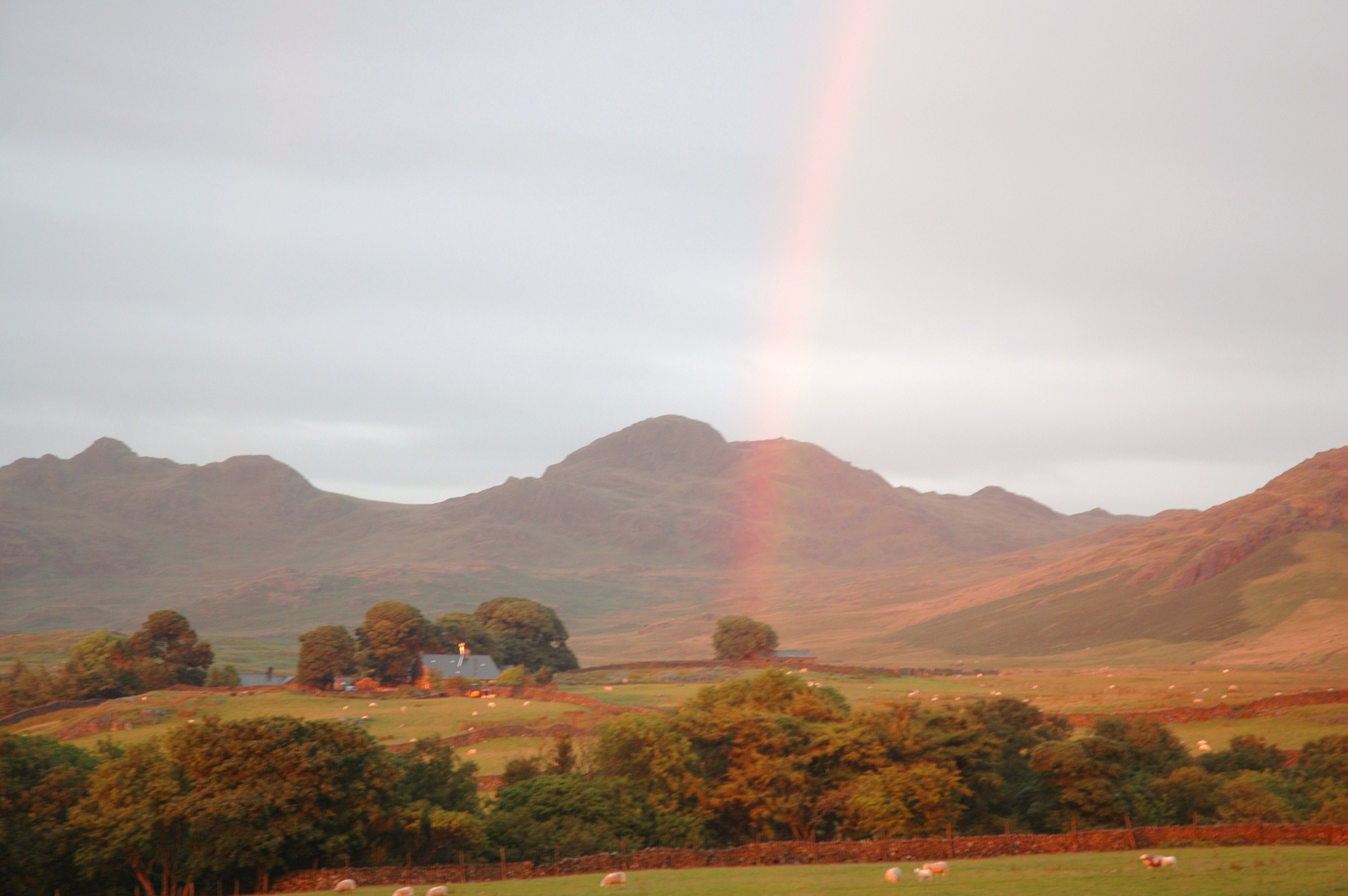
Situated within a vast expanse of lush greenery, Far Hill offers breathtaking panoramic views of the surrounding countryside, sprawling valleys, and distant mountain ranges. Its strategic location allows visitors to witness stunning sunsets and sunrises, transforming the hill into a favorite spot for photographers and artists seeking inspiration.
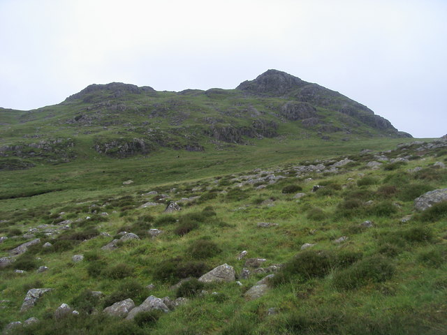
The hill itself is characterized by its gentle slopes and rocky outcrops, which add to its rugged charm. Exploring Far Hill, adventurers can encounter a variety of plant and animal species, including wildflowers, mosses, and small mammals like squirrels and rabbits. The area is also home to a diverse bird population, providing birdwatchers with ample opportunities to observe and identify different species.
For those seeking outdoor activities, Far Hill offers numerous hiking trails, allowing visitors to explore its pristine wilderness. These trails cater to both novice and experienced hikers, with options for short, leisurely walks or more challenging treks to the summit. Additionally, the hill provides an ideal setting for camping, picnicking, and stargazing, adding to the allure of this natural gem.
Overall, Far Hill in Cumberland stands as a testament to the region's natural beauty, offering a serene and picturesque escape for those seeking solace in nature.
If you have any feedback on the listing, please let us know in the comments section below.
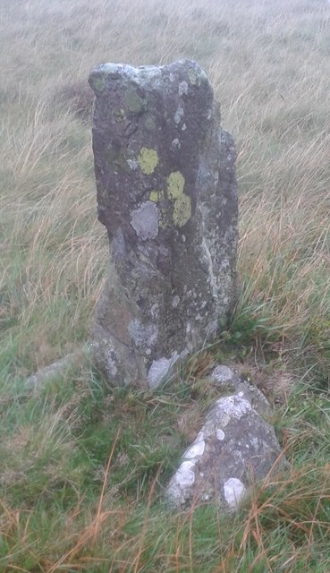
Far Hill Images
Images are sourced within 2km of 54.364006/-3.2326699 or Grid Reference SD2097. Thanks to Geograph Open Source API. All images are credited.


Far Hill is located at Grid Ref: SD2097 (Lat: 54.364006, Lng: -3.2326699)
Administrative County: Cumbria
District: Copeland
Police Authority: Cumbria
What 3 Words
///neckline.unwind.taster. Near Seascale, Cumbria
Nearby Locations
Related Wikis
Great Worm Crag
Great Worm Crag is a hill in south west of the English Lake District, north of Ulpha, Cumbria. It is the subject of a chapter of Wainwright's book The...

Green Crag
Green Crag is a fell in the English Lake District. It stands between Eskdale and the Duddon valley in the Southern Fells. == Topography == The headwaters...
Wallowbarrow Crag
Wallowbarrow Crag is a hill of 292 metres (958 ft) in the Lake District, England. It is on the west of the Duddon Valley, across the valley from the village...
Birkerthwaite
Birkerthwaite is a village on Birker Fell, Eskdale, Cumbria, England. == See also == List of places in Cumbria == External links == Media related to Birkerthwaite...
Nearby Amenities
Located within 500m of 54.364006,-3.2326699Have you been to Far Hill?
Leave your review of Far Hill below (or comments, questions and feedback).