Cairn Culchavie

Hill, Mountain in Aberdeenshire

Scotland

Cairn Culchavie

Old Drove Road As the drove road reaches its highest point on Stròn na Crois Araich, it swings left and the view towards Ben Avon is revealed. The tops are, left to right, Meall Gaineimh, Stob Bac an Fhurain and Stob an t-Sluichd.
Old Drove Road Credit: Anne Burgess

Cairn Culchavie is a prominent hill located in Aberdeenshire, Scotland. Standing at an elevation of 761 meters (2,497 feet), it is categorized as a Corbett, which refers to a Scottish hill between 2,500 and 3,000 feet high with a prominence of at least 500 feet.

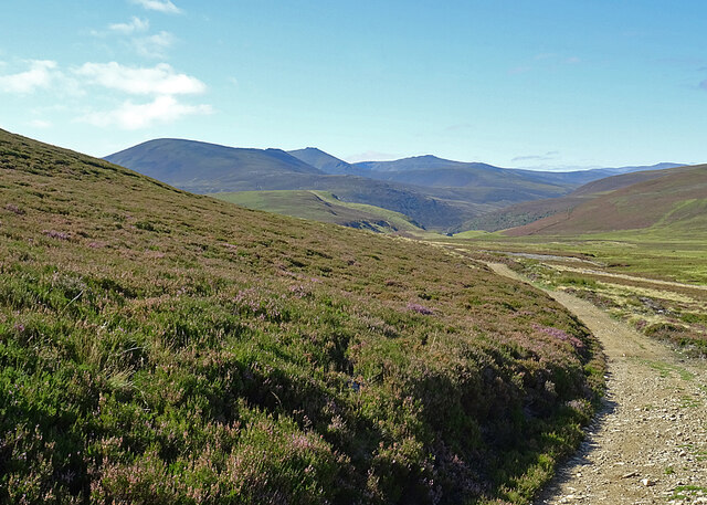
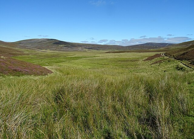
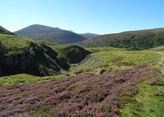
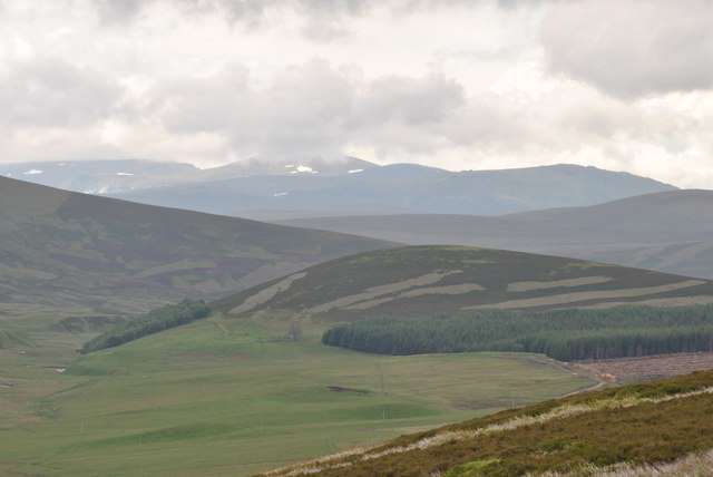
Situated in the eastern part of the Cairngorms National Park, Cairn Culchavie offers breathtaking panoramic views of the surrounding landscapes. Its position provides a vantage point for observing the stunning scenery of the Grampian Mountains, including the nearby hills of Carn na Drochaide and Ben Rinnes. On a clear day, it is even possible to see as far as the Moray Firth and the North Sea.

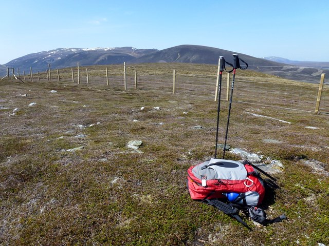
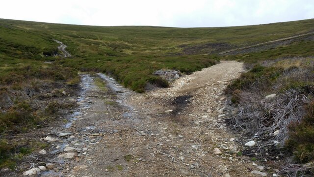
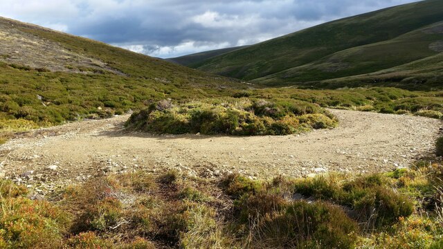
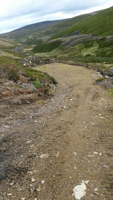
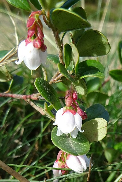
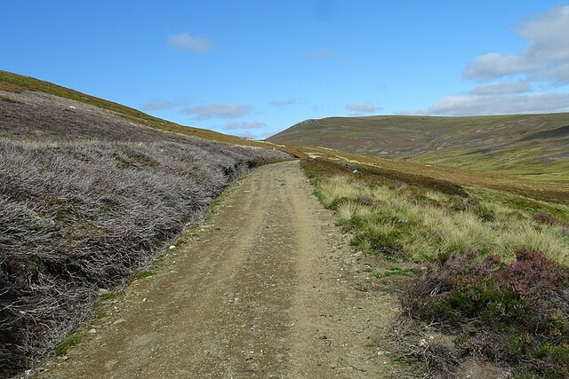
Accessing Cairn Culchavie can be achieved via several routes, with the most common starting point being the village of Tomintoul to the north. From there, hikers can follow well-marked paths that lead them through heather-covered moorland and up the hill's slopes. The ascent is moderate in difficulty, making it suitable for both experienced hillwalkers and those seeking a more leisurely hike.

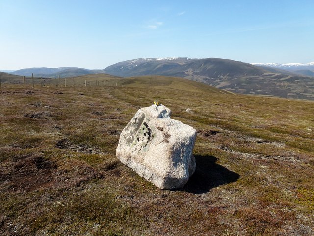
Cairn Culchavie is also known for its historical significance. The hill is home to an ancient burial cairn, which is believed to date back to the Neolithic period. This archaeological feature adds an additional layer of intrigue to the hill and attracts visitors interested in the region's rich history.

Overall, Cairn Culchavie is a remarkable hill in Aberdeenshire, offering visitors a chance to immerse themselves in Scotland's stunning natural beauty and explore its fascinating past.

If you have any feedback on the listing, please let us know in the comments section below.

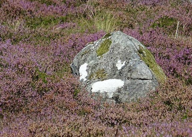
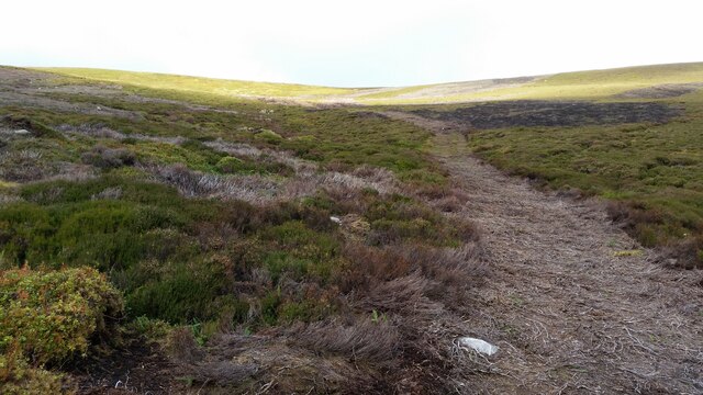
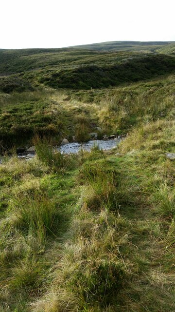
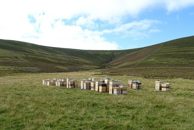
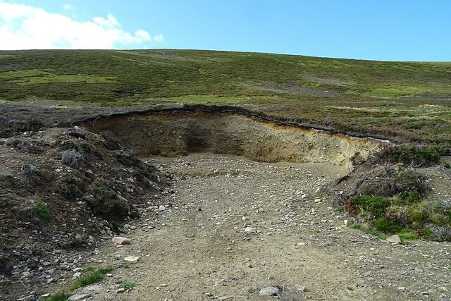
Cairn Culchavie Images

Images are sourced within 2km of 57.147366/-3.3236448 or Grid Reference NJ2007. Thanks to Geograph Open Source API. All images are credited.

Old Drove Road As the drove road reaches its highest point on Stròn na Crois Araich, it swings left and the view towards Ben Avon is revealed. The tops are, left to right, Meall Gaineimh, Stob Bac an Fhurain and Stob an t-Sluichd.
Old Drove Road
As the drove road reaches its highest point on Stròn na Crois Araich, it swings left and the view towards Ben Avon is revealed. The tops are, left to right, Meall Gaineimh, Stob Bac an Fhurain and Stob an t-Sluichd.
Fèith Bhàit Fèith means a bog or morass, and this certainly looks like very wet ground. The drove road hugs the slope of the hill for good reason. The bog is the source of the River Don.
Fèith Bhàit
Fèith means a bog or morass, and this certainly looks like very wet ground. The drove road hugs the slope of the hill for good reason. The bog is the source of the River Don.
Lagganauld The deserted house and outbuildings stands on a magnificent but remote site above Inchrory.
Lagganauld
The deserted house and outbuildings stands on a magnificent but remote site above Inchrory.
Lagganauld This is the track down from the abandoned buildings at Lagganauld to Inchrory.
Lagganauld
This is the track down from the abandoned buildings at Lagganauld to Inchrory.
Gonk Stone? We thought that the patches of white lichen made this stone look like the gonk toys that were all the rage in the 1970s.
Gonk Stone?
We thought that the patches of white lichen made this stone look like the gonk toys that were all the rage in the 1970s.
Gully at Lagganauld The burn has carved a deep gully through the Inchrory Limestone below Lagganauld. The view is dominated by Ben Avon.
Gully at Lagganauld
The burn has carved a deep gully through the Inchrory Limestone below Lagganauld. The view is dominated by Ben Avon.
Foothills of Cairngorm mountains, from the east From the viewpoint near Cock Bridge on A939, Tomintoul to Ballater road looking towards Cairngorm mountains.
Foothills of Cairngorm mountains, from the east
From the viewpoint near Cock Bridge on A939, Tomintoul to Ballater road looking towards Cairngorm mountains.
Little Geal Charn Top, from Corgarff Castle car park in an anticlockwise circuit, in very warm conditions. Electric fence can give a nasty shock and no easy way of getting over it here unlike the 2 earlier possible tops.  True top is over the fence but did not take my camera there.
Name: Brown Cow Hill - Little Geal Charn
Hill number: 6171
Height: 710m / 2329ft
Area: 08B: Cairngorms
Class: sGT
Grid ref: NJ192059 (est)
Drop: 22m
Col: 688m  NJ194058
Little Geal Charn
Top, from Corgarff Castle car park in an anticlockwise circuit, in very warm conditions. Electric fence can give a nasty shock and no easy way of getting over it here unlike the 2 earlier possible tops. True top is over the fence but did not take my camera there. Name: Brown Cow Hill - Little Geal Charn Hill number: 6171 Height: 710m / 2329ft Area: 08B: Cairngorms Class: sGT Grid ref: NJ192059 (est) Drop: 22m Col: 688m NJ194058
Cairn Culchavie First top of circuit, from Corgarff Castle car park in an anticlockwise circuit, in very warm conditions.  Top is a boulder on the west side of the electric fence.
Name: Brown Cow Hill - Cairn Culchavie
Hill number: 4165
Height: 726m / 2382ft
Area: 08B: Cairngorms
Class: GTC
Grid ref: NJ200070 (est)
Drop: 41m
Col: 685m  NJ194058
Cairn Culchavie
First top of circuit, from Corgarff Castle car park in an anticlockwise circuit, in very warm conditions. Top is a boulder on the west side of the electric fence. Name: Brown Cow Hill - Cairn Culchavie Hill number: 4165 Height: 726m / 2382ft Area: 08B: Cairngorms Class: GTC Grid ref: NJ200070 (est) Drop: 41m Col: 685m NJ194058
Unexpected junction Climbing up the glen this junction in the track, which isn't marked on the OS 1:25k map appears. In reality the right hand fork is just the entrance to a turning circle / parking area.
Unexpected junction
Climbing up the glen this junction in the track, which isn't marked on the OS 1:25k map appears. In reality the right hand fork is just the entrance to a turning circle / parking area.
Turning circle This turning circle isn't marked on the OS 1:25k map.
Turning circle
This turning circle isn't marked on the OS 1:25k map.
Parking area Another bulldozed area for the Royals & guests to park during shoots. Not marked on OS 1:25k map.
Parking area
Another bulldozed area for the Royals & guests to park during shoots. Not marked on OS 1:25k map.
Bulldozed track to grouse shooting butts A recent track driven up from the main track up the glen towards a line of butts.
Bulldozed track to grouse shooting butts
A recent track driven up from the main track up the glen towards a line of butts.
Rough ford You would need a pretty capable ATV or quad bike to get down to and across this ford, but it is obviously in use.
Rough ford
You would need a pretty capable ATV or quad bike to get down to and across this ford, but it is obviously in use.
Beehives at Culchavie The beehives are well placed for the bees to collect nectar from the vast swathes of heather. Behind the hives, to the left, is the Corrie of Culchavie, with the obvious course of Culchavie Burn at its head. The beehives are more numerous than they were two years ago - see <a href="https://www.geograph.org.uk/photo/6610898">NJ2008 : Beehives at Culchavie</a>.
Beehives at Culchavie
The beehives are well placed for the bees to collect nectar from the vast swathes of heather. Behind the hives, to the left, is the Corrie of Culchavie, with the obvious course of Culchavie Burn at its head. The beehives are more numerous than they were two years ago - see NJ2008 : Beehives at Culchavie.
Sand and Gravel Quarry The gravelly sand is obviously glacial deposits, and it is probably being used to maintain the estate roads.
Sand and Gravel Quarry
The gravelly sand is obviously glacial deposits, and it is probably being used to maintain the estate roads.
Cowberry (Vaccinium vitis-idaea) Some late flowers on a Cowberry plant. Most of its fellows are already bearing their scarlet berries.
Cowberry (Vaccinium vitis-idaea)
Some late flowers on a Cowberry plant. Most of its fellows are already bearing their scarlet berries.
Old Drove Road above Feith Bhait The old drove road, now a track passable with a 4x4 vehicle, climbs gently along the north-western slope of Stròn na Crois Araich.
Old Drove Road above Feith Bhait
The old drove road, now a track passable with a 4x4 vehicle, climbs gently along the north-western slope of Stròn na Crois Araich.
Show me another place!

Cairn Culchavie is located at Grid Ref: NJ2007 (Lat: 57.147366, Lng: -3.3236448)

Unitary Authority: Aberdeenshire

Police Authority: North East

What 3 Words

///scooter.harshest.guises. Near Ballater, Aberdeenshire

Related Wikis

Delnadamph Lodge

Delnadamph Lodge was located on the Balmoral Estate about 8 miles (13 km) north of the castle. The lodge and its estate lands were bought by Queen Elizabeth...

Corgarff Castle

Corgarff Castle is located slightly west of the village of Corgarff, in Aberdeenshire, north-east Scotland. It stands by the Lecht road, which crosses...

Cock Bridge (Aberdeenshire)

Cock Bridge is a settlement in Aberdeenshire, Scotland, located in the Cairngorms National Park, on the A939 road near Corgarff and Corgarff Castle, between...
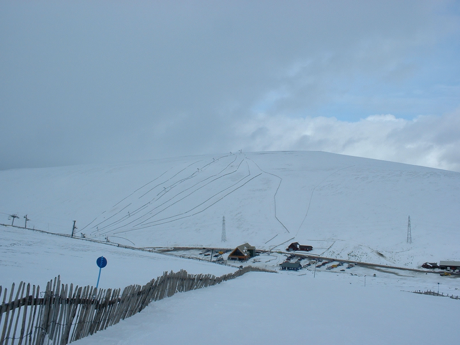
Lecht Ski Centre

The Lecht Ski Centre is an alpine ski area in the Cairngorms in the Scottish Highlands. The ski slopes are set around the mountains Beinn a' Chruinnich...

Nearby Amenities

Located within 500m of 57.147366,-3.3236448
Cairn Culchavie
Ele: 726
Natural: peak
Lat/Long: 57.147135/-3.323532
The data included in this document is from www.openstreetmap.org. The data is made available under ODbL.

Have you been to Cairn Culchavie?

Leave your review of Cairn Culchavie below (or comments, questions and feedback).