Gate Crag

Hill, Mountain in Cumberland Copeland

England

Gate Crag

Old Boundary Marker on Ulpha Fell, Eskdale parish Parish Boundary Marker in parish of Eskdale (Copeland District), Ulpha Fell, 500 metres North of Green Crag Summit.

Surveyed

Milestone Society National ID: CU_ULPESK02pb
Old Boundary Marker on Ulpha Fell, Eskdale parish Credit: Milestone Society

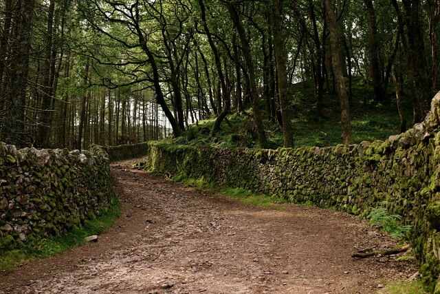
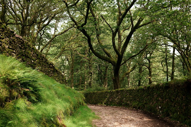
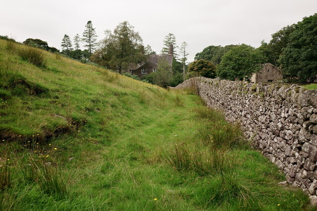
Gate Crag is a prominent hill located in the county of Cumberland, in the Lake District National Park, England. With an elevation of 1,223 feet (373 meters), it is classified as a fell, which is a term used in the region to describe a hill or mountain.

Situated near the village of Mungrisdale, Gate Crag is part of a larger range of hills known as the Northern Fells. It is positioned to the southeast of Blencathra, another well-known fell in the area. The terrain of Gate Crag is characterized by steep slopes covered in grass and rocky outcrops, typical of the landscape found in this part of the Lake District.

The ascent of Gate Crag usually starts from the village of Mungrisdale, following a path that winds its way up the hillside. The climb offers stunning views of the surrounding countryside, including the nearby Mungrisdale Common and the Skiddaw range. On a clear day, it is even possible to catch a glimpse of the Irish Sea to the west.

Gate Crag is a popular destination for hikers and outdoor enthusiasts looking to explore the beauty of the Lake District. Its relatively modest height makes it accessible to a wide range of abilities, while still providing a sense of accomplishment upon reaching its summit. The hill offers a peaceful and tranquil setting, ideal for those seeking a break from the hustle and bustle of everyday life.

If you have any feedback on the listing, please let us know in the comments section below.
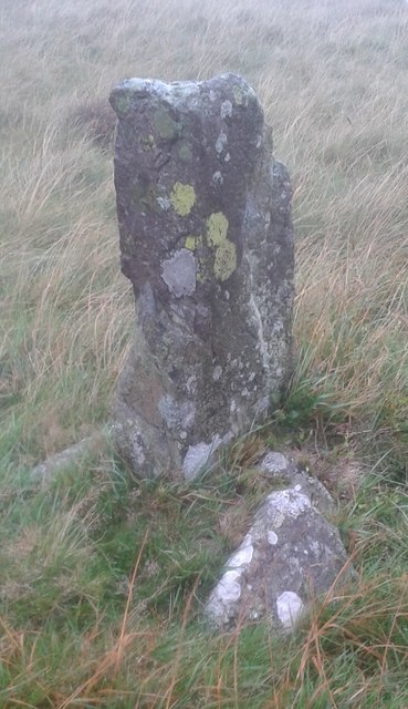
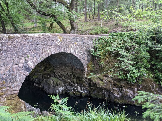
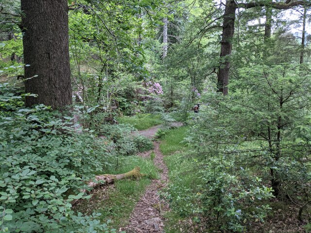
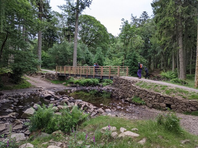
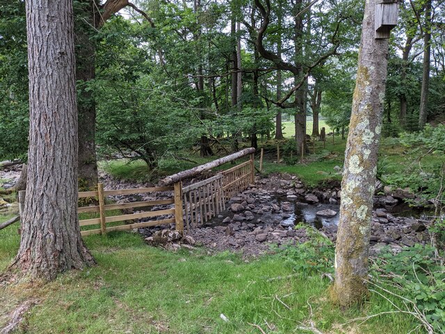
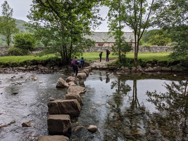
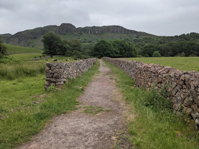
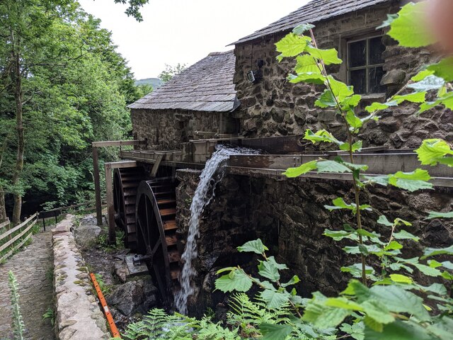
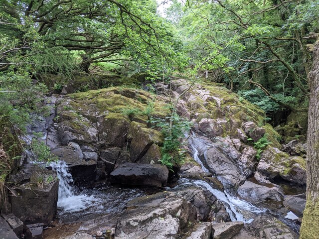
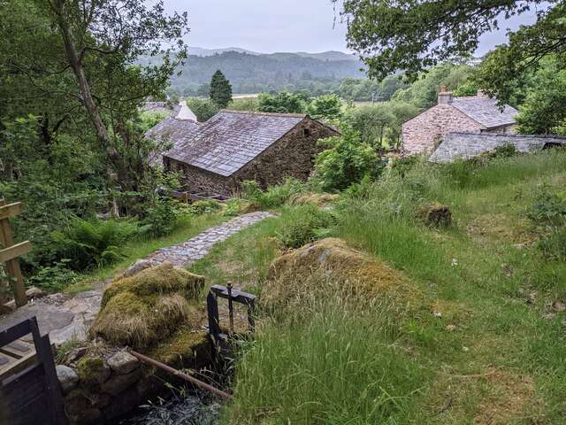
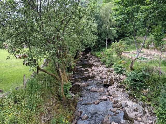
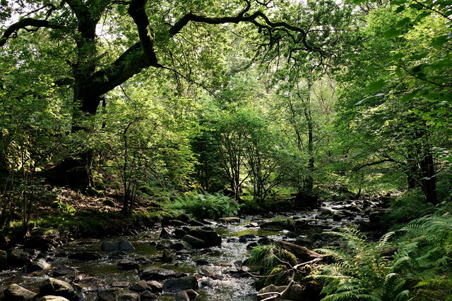
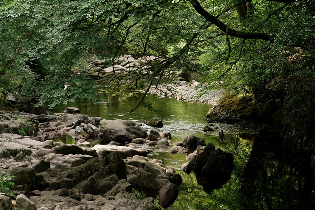
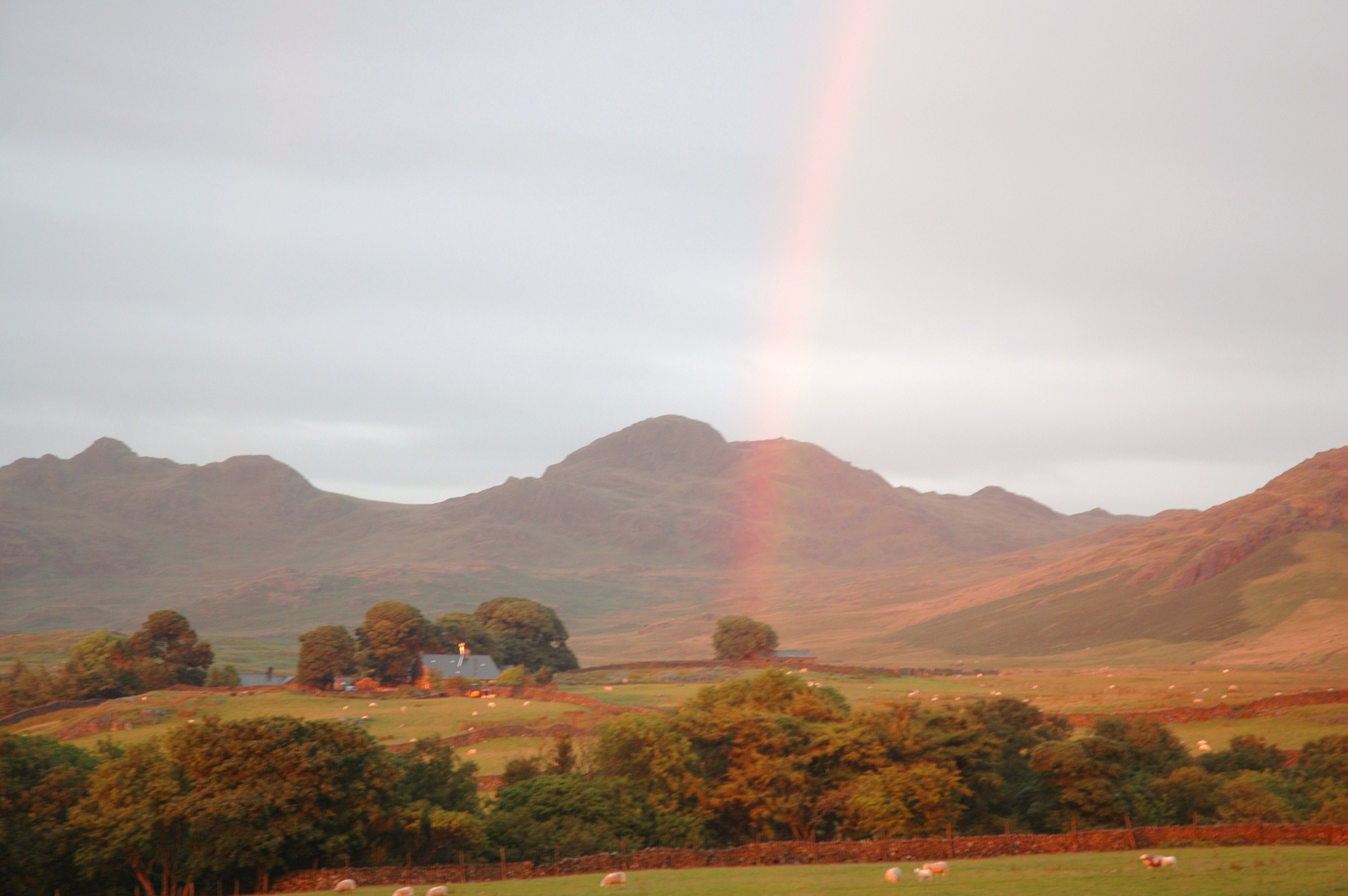
Gate Crag Images

Images are sourced within 2km of 54.386516/-3.2574446 or Grid Reference SD1899. Thanks to Geograph Open Source API. All images are credited.

Old Boundary Marker on Ulpha Fell, Eskdale parish Parish Boundary Marker in parish of Eskdale (Copeland District), Ulpha Fell, 500 metres North of Green Crag Summit.

Surveyed

Milestone Society National ID: CU_ULPESK02pb
Old Boundary Marker on Ulpha Fell, Eskdale parish
Parish Boundary Marker in parish of Eskdale (Copeland District), Ulpha Fell, 500 metres North of Green Crag Summit. Surveyed Milestone Society National ID: CU_ULPESK02pb
A fine bridge over the River Esk
A path through the woods near Dalegarth
A new bridge over Birker Beck I think the previous bridge (see: <a title="https://www.geograph.org.uk/photo/4455179)" href="https://www.geograph.org.uk/photo/4455179)">Link</a> was probably damaged by floods.
Curiously the beck, referred to in some other geographs as Stanley Ghyll Beck, is named on the OS 1:50k map, but not on the 1:25k map.
A new bridge over Birker Beck
I think the previous bridge (see: Link was probably damaged by floods. Curiously the beck, referred to in some other geographs as Stanley Ghyll Beck, is named on the OS 1:50k map, but not on the 1:25k map.
A hanging fence across Birker Beck To discourage sheep from using the stream bed as an escape to greener pastures.
A hanging fence across Birker Beck
To discourage sheep from using the stream bed as an escape to greener pastures.
The stepping stones - a fun way to cross the Esk
The bridleway to the footbridge across the Esk
Wildflowers and trees Near Esk View Farm.
Wildflowers and trees
Near Esk View Farm.
Diverted power source The water wheels at Eskdale Mill are not in use today, so the water is spilled back into the stream.
Diverted power source
The water wheels at Eskdale Mill are not in use today, so the water is spilled back into the stream.
Water-smoothed rocks in Whillan Beck
Top of the power supply The water is extracted here to drive the water wheels at Eskdale Mill, whose rooftops are visible.
Top of the power supply
The water is extracted here to drive the water wheels at Eskdale Mill, whose rooftops are visible.
Whillan Beck from the mill bridge
Stanley Ghyll Beck Seen from the start of the climb up to the waterfall.
Stanley Ghyll Beck
Seen from the start of the climb up to the waterfall.
Eskdale Track up to the new Stanley Force viewing platform. Most walkers take the path in the ravine to reach the viewing platform, returning via this track.
Eskdale
Track up to the new Stanley Force viewing platform. Most walkers take the path in the ravine to reach the viewing platform, returning via this track.
Eskdale Track down to the road, from the new Stanley Force viewing platform.
Eskdale
Track down to the road, from the new Stanley Force viewing platform.
Eskdale View towards Dalegarth Hall, from the track.
Eskdale
View towards Dalegarth Hall, from the track.
Eskdale Trough House bridge and the River Esk.
Eskdale
Trough House bridge and the River Esk.
Eskdale River Esk from Trough House Bridge.
Eskdale
River Esk from Trough House Bridge.
Show me another place!

Gate Crag is located at Grid Ref: SD1899 (Lat: 54.386516, Lng: -3.2574446)

Administrative County: Cumbria

District: Copeland

Police Authority: Cumbria

What 3 Words

///atlas.airtime.port. Near Seascale, Cumbria

Related Wikis

Eskdale, Cumbria

Eskdale is a glacial valley and civil parish in the western Lake District National Park in Cumbria, England. It forms part of the Borough of Copeland...

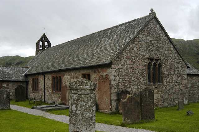
St Catherine's Church, Boot

St Catherine's Church is in the village of Boot, Cumbria, England. It is the Anglican parish church of Eskdale, Cumbria, and is in the deanery of Calder...

Woolpack walk

The Woolpack Walk is a challenge walk which starts and finishes at the Woolpack Inn, Eskdale in the Lake District of England. The route covers 30 km (18...

Boot, Cumbria

Boot is a small village in Eskdale, Cumbria, in the Lake District of England. It forms part of the Borough of Copeland. There are two roads from which...

Dalegarth railway station

Dalegarth railway station is the easterly terminus of the 15-inch gauge Ravenglass and Eskdale Railway in Cumbria, England. It has a café and shop for...

Birkerthwaite

Birkerthwaite is a village on Birker Fell, Eskdale, Cumbria, England. == See also == List of places in Cumbria == External links == Media related to Birkerthwaite...

Beckfoot railway station

Beckfoot railway station is a railway station on the 15" gauge Ravenglass & Eskdale Railway in Cumbria. It is situated within a 1⁄2 mile (0.80 km) walk...

Green Crag

Green Crag is a fell in the English Lake District. It stands between Eskdale and the Duddon valley in the Southern Fells. == Topography == The headwaters...

Nearby Amenities

Located within 500m of 54.386516,-3.2574446
Birker Force
Intermittent: no
Waterway: waterfall
Lat/Long: 54.3882191/-3.2525789
Barrier: stile
Lat/Long: 54.3890833/-3.261255
Great Arming How
Place: locality
Lat/Long: 54.3825816/-3.2539519
Bench
Lat/Long: 54.3903543/-3.259663
Low Birker Pool
Place: locality
Lat/Long: 54.3844285/-3.2508169
Ford: yes
Lat/Long: 54.38737/-3.2499201
Description: Air Shaft
Man Made: mineshaft
Lat/Long: 54.387774/-3.2640961
The data included in this document is from www.openstreetmap.org. The data is made available under ODbL.

Have you been to Gate Crag?

Leave your review of Gate Crag below (or comments, questions and feedback).