Birker Force

Waterfall in Cumberland Copeland

England

Birker Force

Stile, Spothow Gill
Stile, Spothow Gill Credit: Mick Garratt

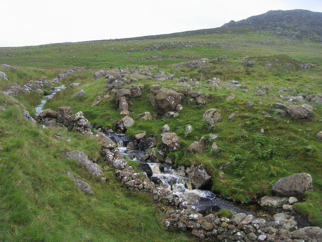
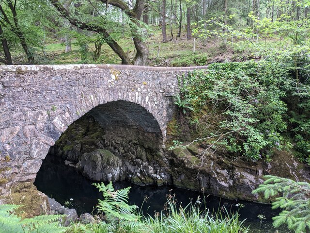
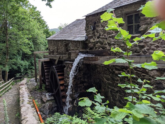
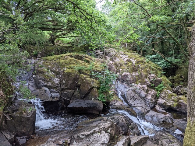
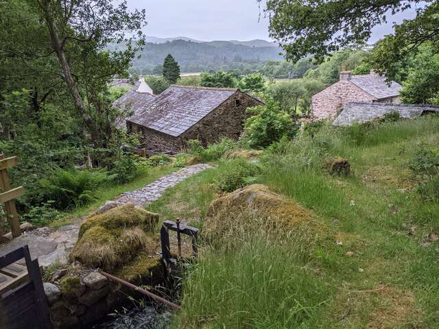
Birker Force, located in Cumberland, is a magnificent waterfall nestled in the Lake District National Park in northwest England. It is situated near the hamlet of Ulpha, in the peaceful and picturesque Birker Valley. The waterfall is formed by the cascading waters of Lingcove Beck, which flows through the rugged and scenic landscape of Birker Force Woods.

Birker Force is renowned for its natural beauty and attracts visitors from far and wide. The waterfall plunges down a series of rocky steps, creating a mesmerizing sight and a soothing sound that adds to the tranquility of the surroundings. The force of the water as it tumbles over the rocks creates a fine mist that often shrouds the area, adding to its mystical atmosphere.

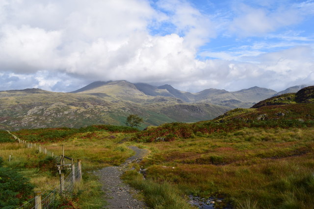
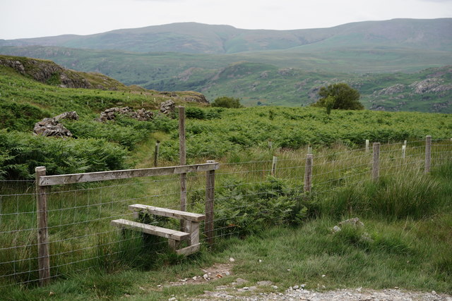
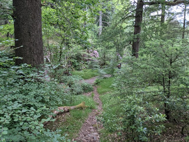
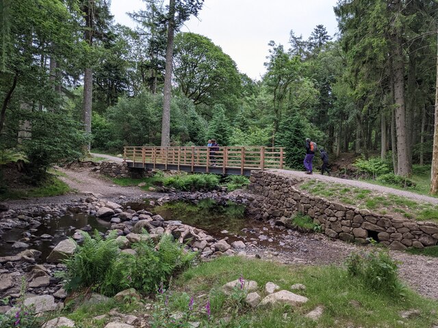
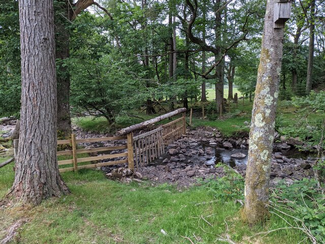
To reach Birker Force, visitors can take a scenic walk through the Birker Force Woods, which are home to a variety of native flora and fauna. The woods are particularly enchanting during spring, when the forest floor is carpeted with vibrant wildflowers and the air is filled with birdsong.

The waterfall is a popular spot for nature lovers, hikers, and photographers, who are captivated by its beauty and the surrounding natural environment. There are well-maintained paths and viewing areas that allow visitors to get close to the waterfall and capture its beauty from different angles.

Overall, Birker Force in Cumberland is a stunning waterfall that offers a peaceful retreat in the midst of nature's splendor. Its beauty and charm make it a must-visit destination for anyone exploring the Lake District National Park.

If you have any feedback on the listing, please let us know in the comments section below.
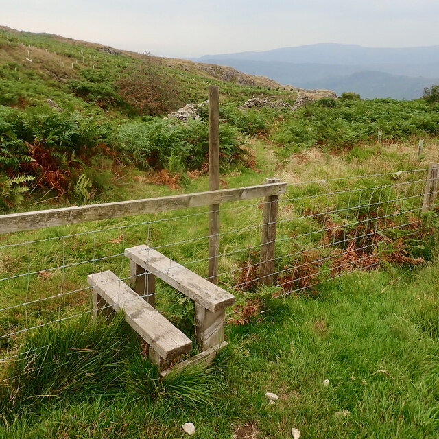
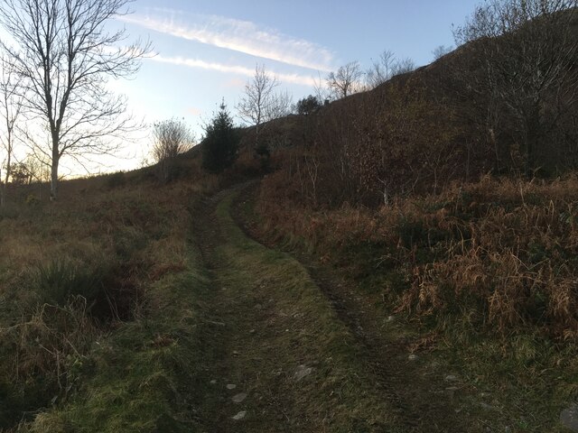
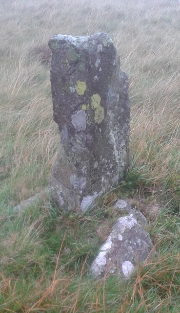
Birker Force Images

Images are sourced within 2km of 54.388355/-3.2526345 or Grid Reference SD1899. Thanks to Geograph Open Source API. All images are credited.

Stile, Spothow Gill
Stile, Spothow Gill
Farm track near Wha House Farm
Spothow Gill Spothow Gill by the bridleway to the Duddon Valley below Dow Crag
Spothow Gill
Spothow Gill by the bridleway to the Duddon Valley below Dow Crag
The Eskdale/Dunnerdale path. A lovely place.
The Eskdale/Dunnerdale path.
A lovely place.
Old Boundary Marker on Ulpha Fell, Eskdale parish Parish Boundary Marker in parish of Eskdale (Copeland District), Ulpha Fell, 500 metres North of Green Crag Summit.

Surveyed

Milestone Society National ID: CU_ULPESK02pb
Old Boundary Marker on Ulpha Fell, Eskdale parish
Parish Boundary Marker in parish of Eskdale (Copeland District), Ulpha Fell, 500 metres North of Green Crag Summit. Surveyed Milestone Society National ID: CU_ULPESK02pb
Stile by the Path Beyond the stile lies a track to Spothow Gill, with Eskdale hidden by the foreground ridge.
Stile by the Path
Beyond the stile lies a track to Spothow Gill, with Eskdale hidden by the foreground ridge.
Path to Eskdale The path leads down to Eskdale, at Jubilee Bridge. Harter Fell lies out of picture, to the right.
Path to Eskdale
The path leads down to Eskdale, at Jubilee Bridge. Harter Fell lies out of picture, to the right.
View Towards Harter Fell Seen from the path which links Eskdale and the Duddon Valley.
View Towards Harter Fell
Seen from the path which links Eskdale and the Duddon Valley.
A fine bridge over the River Esk
A path through the woods near Dalegarth
A new bridge over Birker Beck I think the previous bridge (see: <a title="https://www.geograph.org.uk/photo/4455179)" href="https://www.geograph.org.uk/photo/4455179)">Link</a> was probably damaged by floods.
Curiously the beck, referred to in some other geographs as Stanley Ghyll Beck, is named on the OS 1:50k map, but not on the 1:25k map.
A new bridge over Birker Beck
I think the previous bridge (see: Link was probably damaged by floods. Curiously the beck, referred to in some other geographs as Stanley Ghyll Beck, is named on the OS 1:50k map, but not on the 1:25k map.
A hanging fence across Birker Beck To discourage sheep from using the stream bed as an escape to greener pastures.
A hanging fence across Birker Beck
To discourage sheep from using the stream bed as an escape to greener pastures.
The stepping stones - a fun way to cross the Esk
The bridleway to the footbridge across the Esk
Wildflowers and trees Near Esk View Farm.
Wildflowers and trees
Near Esk View Farm.
Diverted power source The water wheels at Eskdale Mill are not in use today, so the water is spilled back into the stream.
Diverted power source
The water wheels at Eskdale Mill are not in use today, so the water is spilled back into the stream.
Water-smoothed rocks in Whillan Beck
Top of the power supply The water is extracted here to drive the water wheels at Eskdale Mill, whose rooftops are visible.
Top of the power supply
The water is extracted here to drive the water wheels at Eskdale Mill, whose rooftops are visible.
Show me another place!

Birker Force is located at Grid Ref: SD1899 (Lat: 54.388355, Lng: -3.2526345)

Administrative County: Cumbria

District: Copeland

Police Authority: Cumbria

What 3 Words

///branched.dishes.mailbox. Near Seascale, Cumbria

Related Wikis

Eskdale, Cumbria

Eskdale is a glacial valley and civil parish in the western Lake District National Park in Cumbria, England. It forms part of the Borough of Copeland...

Woolpack walk

The Woolpack Walk is a challenge walk which starts and finishes at the Woolpack Inn, Eskdale in the Lake District of England. The route covers 30 km (18...

St Catherine's Church, Boot

St Catherine's Church is in the village of Boot, Cumbria, England. It is the Anglican parish church of Eskdale, Cumbria, and is in the deanery of Calder...

Boot, Cumbria

Boot is a small village in Eskdale, Cumbria, in the Lake District of England. It forms part of the Borough of Copeland. There are two roads from which...

Related Videos

Gorge Walking with Mobile Adventure

Mobile Adventure offer gorge walking for all the adrenaline junkies out there! If you like water, like massive jumps and don't mind ...

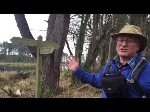
Walking along the Esk trail

Writer Mark Richards walking the Esk trail and onwards along his new route Hadrian's High Way.

A la'al wander down My favourite Valley Eskdale with Tracey and Billy.

A lovely walk down my favourite Valley the Lake Districts beautiful valley of Eskdale including the Summit of Hodge How 101m a ...

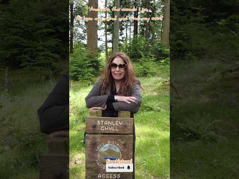
Chasing Waterfalls-Stanley Ghyll, Lake District|England #lakedistrict

There is joy in the woods just now, The leaves are whispers of song” Here is a wee glimpse of our adventure in Lake District .

Nearby Amenities

Located within 500m of 54.388355,-3.2526345
Birker Force
Intermittent: no
Waterway: waterfall
Lat/Long: 54.3882191/-3.2525789
Low Birker
Place: locality
Lat/Long: 54.3926599/-3.2512376
Ford: yes
Lat/Long: 54.389759/-3.2472033
Low Birker Pool
Place: locality
Lat/Long: 54.3844285/-3.2508169
Ash How
Place: locality
Lat/Long: 54.3916582/-3.2511935
Peat Hut
Historic: yes
Lat/Long: 54.389466/-3.2477106
Ford: yes
Lat/Long: 54.38737/-3.2499201
The data included in this document is from www.openstreetmap.org. The data is made available under ODbL.

Have you been to Birker Force?

Leave your review of Birker Force below (or comments, questions and feedback).