Bigert

Hill, Mountain in Cumberland Copeland

England

Bigert

Summit of Whitfell Ancient cairn and trig pillar (572m) just squeezing into the corner of the square. Less frequented Lakeland fells.
Summit of Whitfell Credit: Richard Webb

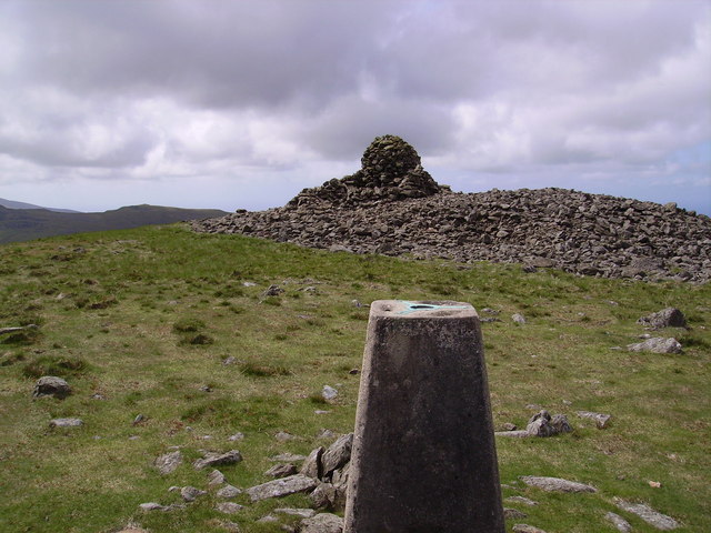
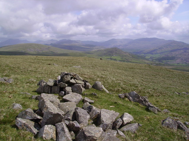
Bigert is a prominent hill located in the Cumberland region of England. It is part of the larger mountain range known as the Pennines, which runs through the northern part of the country. Standing at an impressive height of 1,734 feet (528 meters), Bigert offers breathtaking panoramic views of the surrounding landscape.

The hill is composed mainly of sedimentary rocks, such as sandstone and shale, which were formed over millions of years. These rocks have been shaped by glacial activity during the last Ice Age, resulting in the distinct features and contours visible today.

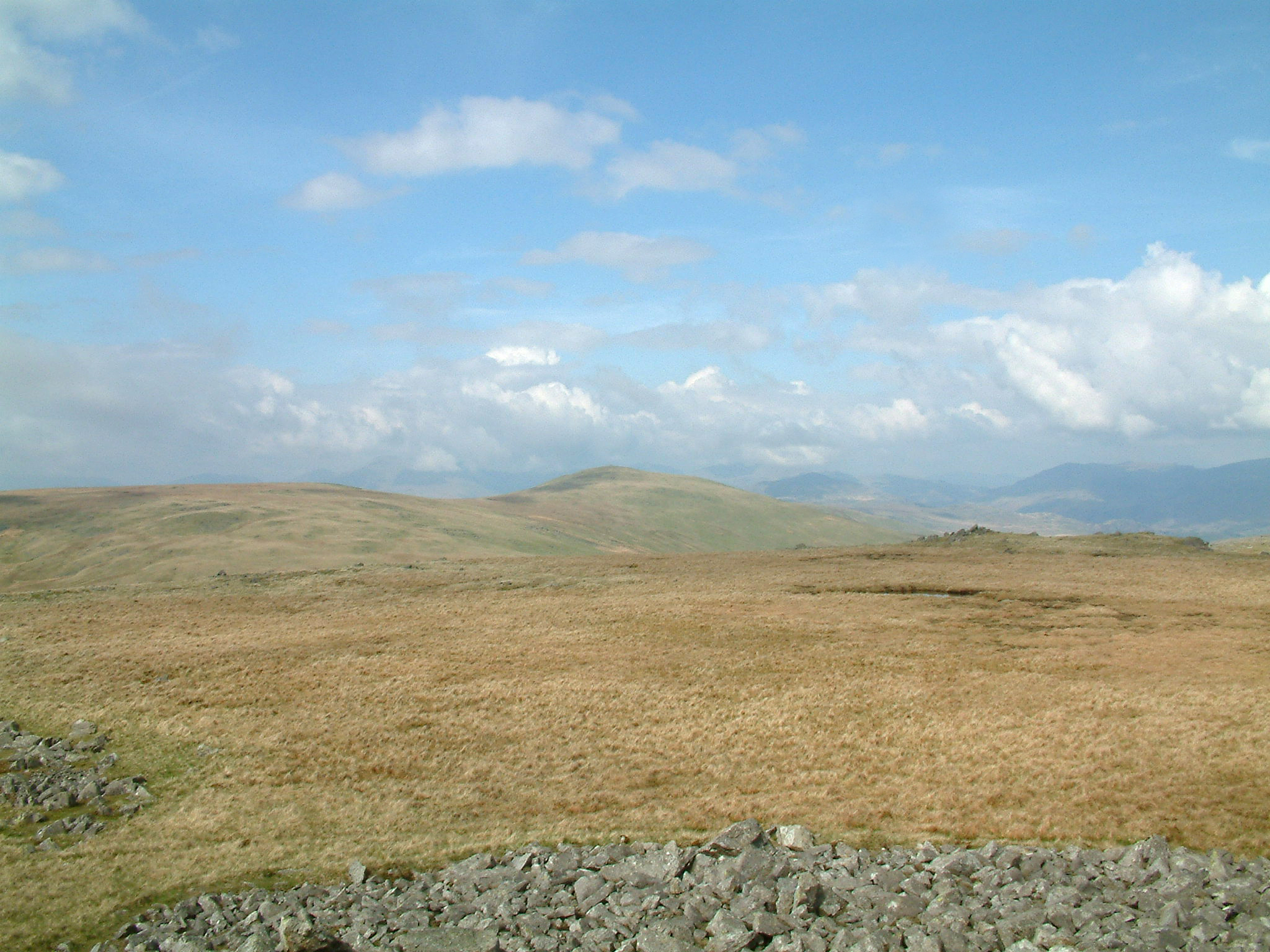
Bigert is renowned for its natural beauty and attracts both locals and tourists alike. Its slopes are covered in lush green vegetation, including heather, grasses, and wildflowers, providing a habitat for diverse flora and fauna. The hill is also home to a variety of bird species, such as peregrine falcons and kestrels, making it a popular spot for birdwatching enthusiasts.

Many outdoor enthusiasts are drawn to Bigert due to its excellent hiking and climbing opportunities. Several well-marked trails and paths traverse the hill, allowing visitors to explore its peaks and valleys. The summit of Bigert offers stunning views of the surrounding countryside, including nearby lakes and rivers.

Overall, Bigert is a natural gem in the Cumberland region, offering a combination of scenic beauty, recreational activities, and a rich geological history.

If you have any feedback on the listing, please let us know in the comments section below.
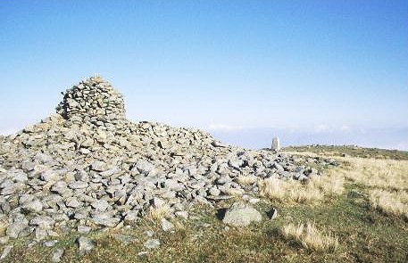
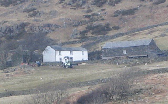
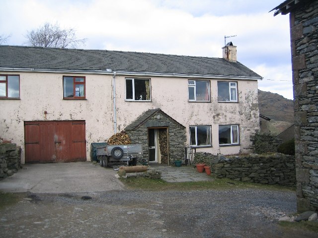
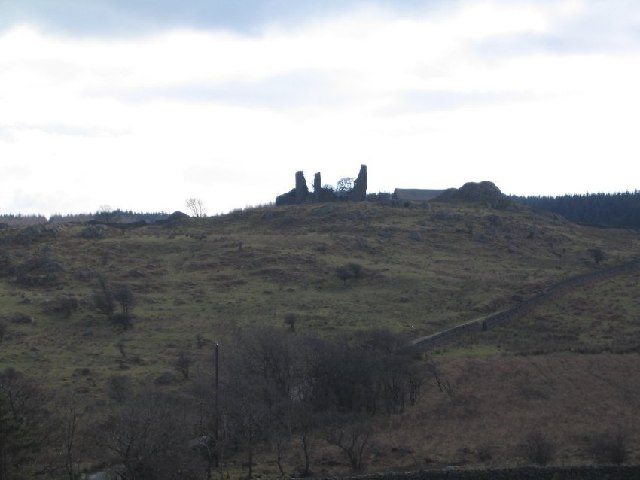
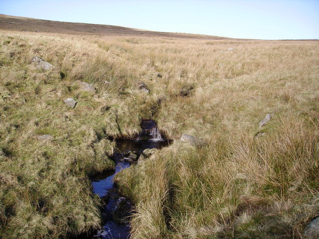
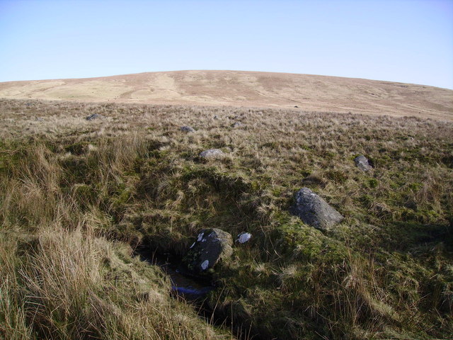
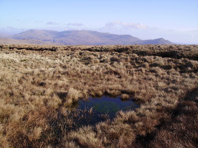
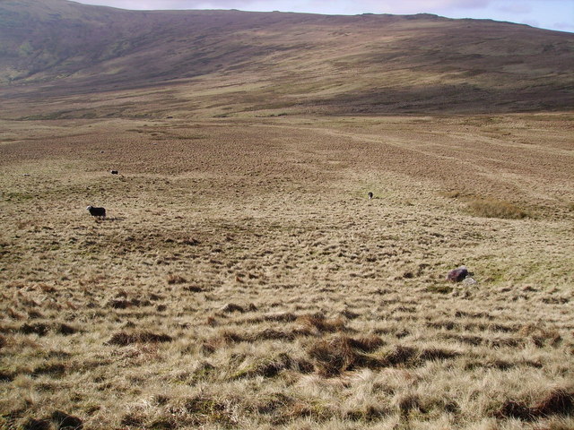
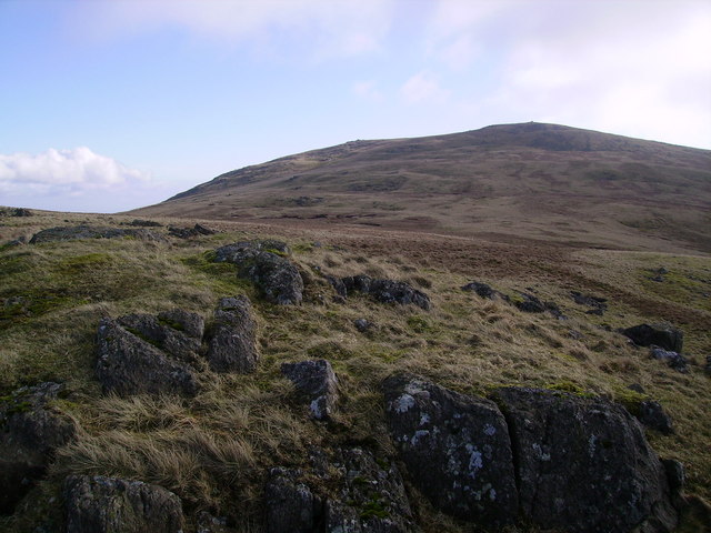
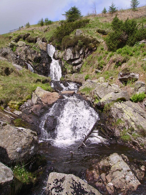
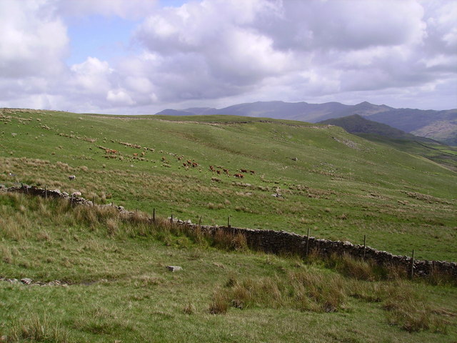
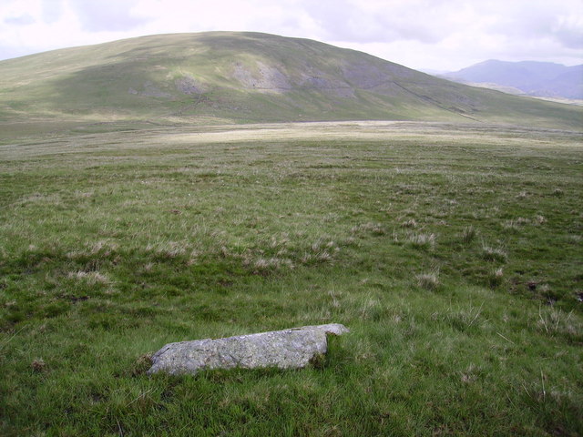
Bigert Images

Images are sourced within 2km of 54.327445/-3.2689275 or Grid Reference SD1793. Thanks to Geograph Open Source API. All images are credited.

Summit of Whitfell Ancient cairn and trig pillar (572m) just squeezing into the corner of the square. Less frequented Lakeland fells.
Summit of Whitfell
Ancient cairn and trig pillar (572m) just squeezing into the corner of the square. Less frequented Lakeland fells.
Pike Side Farm
Pike Side Farm
Bigert Mire Farm. A very difficult set of buildings to date as they have all been modernised.
Bigert Mire Farm.
A very difficult set of buildings to date as they have all been modernised.
Frith Hall from the North. Note the track running past to the right.
Frith Hall from the North.
Note the track running past to the right.
Long Garth Farm House.
Crag Hall A bit worse for wear.
Crag Hall
A bit worse for wear.
Old Hall Ulpha. Yes the pile of rocks used to be a dwelling.
Old Hall Ulpha.
Yes the pile of rocks used to be a dwelling.
Cairn , Hesk Fell All is grass on Hesk Fell's summit dome.The Cairn consists of three stones carried up by someone. Anywhere in a 100 yard radius could be the top. Heaton Cooper states that Hesk Fell is from 'Hest Fell, Fell of the Ponies.' Caw on the skyline.
Cairn , Hesk Fell
All is grass on Hesk Fell's summit dome.The Cairn consists of three stones carried up by someone. Anywhere in a 100 yard radius could be the top. Heaton Cooper states that Hesk Fell is from 'Hest Fell, Fell of the Ponies.' Caw on the skyline.
Storthes Gill In the dip between Hesk Fell and Whitfell
Storthes Gill
In the dip between Hesk Fell and Whitfell
Storthes A boggy dip between Hesk Fell and Whitfell. Several small becks and Storthes Gill eventually meet together in the square to become Holehouse Gill a tributary of the Duddon.Looking up at Hesk Fell.
Storthes
A boggy dip between Hesk Fell and Whitfell. Several small becks and Storthes Gill eventually meet together in the square to become Holehouse Gill a tributary of the Duddon.Looking up at Hesk Fell.
Tarn, Hesk Fell The tiny Tarn on the top of the fell is shown on the map.
Tarn, Hesk Fell
The tiny Tarn on the top of the fell is shown on the map.
Descending Hesk Fell Looking at the grassy plain above Storthes Gill from the slopes of Hesk Fell
Descending Hesk Fell
Looking at the grassy plain above Storthes Gill from the slopes of Hesk Fell
Whitfell From Fox Crags on the ridge to Stainton Pike
Whitfell
From Fox Crags on the ridge to Stainton Pike
Waterfall, Logan Beck Running down from Sele Bottom by the plantation. Logan Beck has some lovely falls.
Waterfall, Logan Beck
Running down from Sele Bottom by the plantation. Logan Beck has some lovely falls.
On Whitfell On the east slope above the wall. Brown Cows grazing in the distance.
On Whitfell
On the east slope above the wall. Brown Cows grazing in the distance.
Bigertmire Pasture Looking towards Hesk Fell over the pasture.
Bigertmire Pasture
Looking towards Hesk Fell over the pasture.
Whitfell Trig Pillar and Cairn Large windshelter cairn and Trig Pillar on Whitfell. On a busy Sunday in the Lakes no other walkers were seen for 4 hours in these quiet outliers.
Whitfell Trig Pillar and Cairn
Large windshelter cairn and Trig Pillar on Whitfell. On a busy Sunday in the Lakes no other walkers were seen for 4 hours in these quiet outliers.
Cairn, Plough Fell Looking towards Hesk Fell and The Pike from the grassy top of Plough Fell
Cairn, Plough Fell
Looking towards Hesk Fell and The Pike from the grassy top of Plough Fell
Show me another place!

Bigert is located at Grid Ref: SD1793 (Lat: 54.327445, Lng: -3.2689275)

Administrative County: Cumbria

District: Copeland

Police Authority: Cumbria

What 3 Words

///fidgeted.weddings.contained. Near Millom, Cumbria

Nearby Locations

Bigertmire Pasture Bigert

Related Wikis

Nearby Amenities

Located within 500m of 54.327445,-3.2689275
Bicycle: yes
Foot: yes
Ford: yes
Horse: yes
Lat/Long: 54.3264471/-3.2731921
The data included in this document is from www.openstreetmap.org. The data is made available under ODbL.

Have you been to Bigert?

Leave your review of Bigert below (or comments, questions and feedback).