Upper Tarnberry

Hill, Mountain in Dumfriesshire

Scotland

Upper Tarnberry

Upper Falls The last fall and smallest of the many waterfalls on the Tail Burn generically known as the Grey Mare's Tail. To the left above the dyke is the Corbett of White Coomb.
Upper Falls Credit: Adam Ward

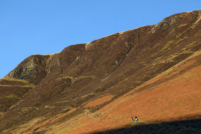
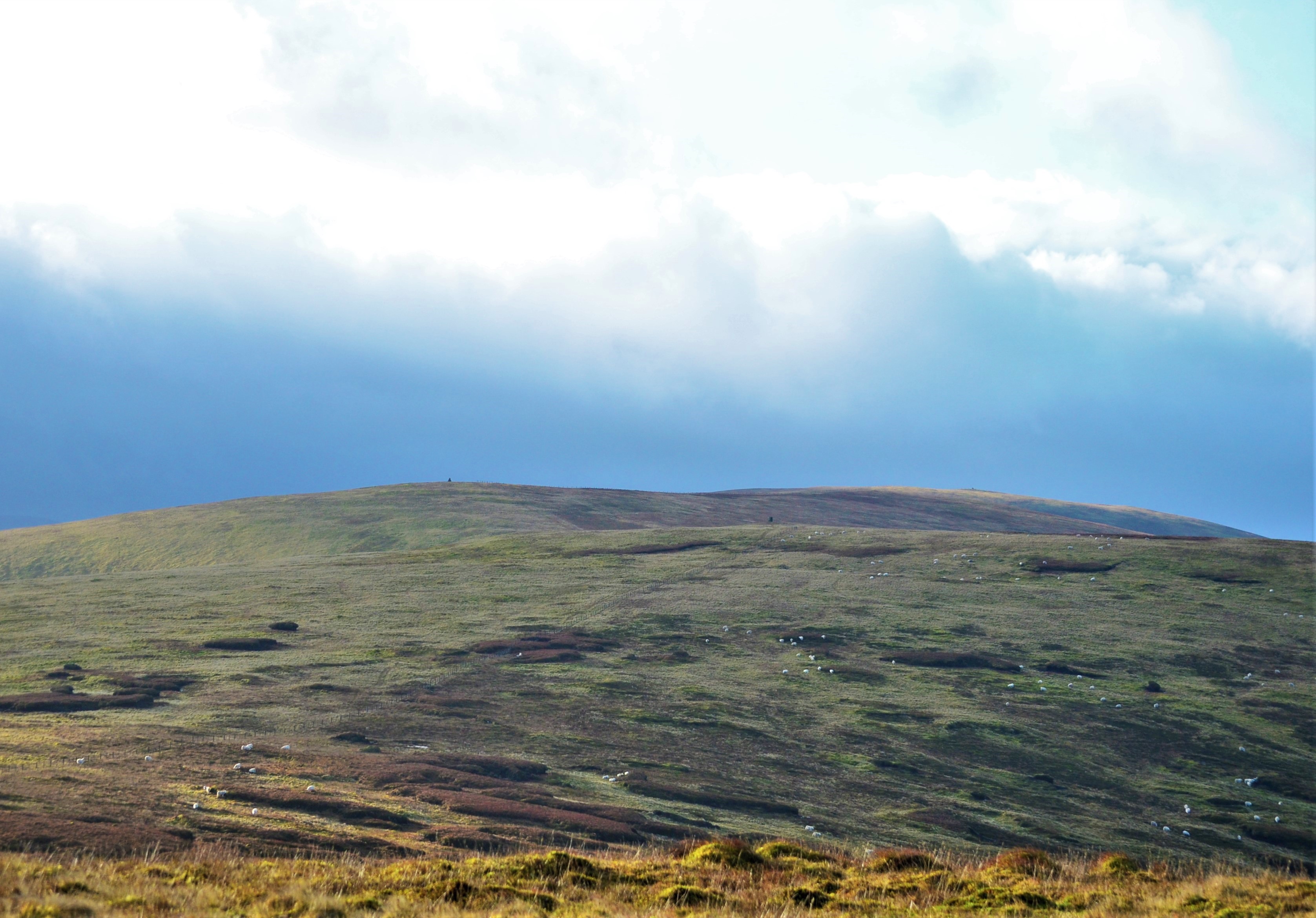
Upper Tarnberry is a picturesque hill located in Dumfriesshire, Scotland. Standing at an elevation of approximately 600 meters, it is part of the Southern Uplands range. The hill is known for its stunning panoramic views, offering visitors a glimpse of the surrounding countryside and the nearby Solway Firth.

Covered in lush greenery, Upper Tarnberry is a haven for nature enthusiasts. The hill features a variety of plant species, including heather, bracken, and grasses, creating a rich and diverse ecosystem. It is also home to a range of wildlife, such as red deer, buzzards, and kestrels, providing ample opportunities for wildlife spotting and birdwatching.

The ascent to Upper Tarnberry is relatively moderate, making it accessible for both experienced hikers and beginners. The hill is popular among outdoor enthusiasts who enjoy hiking, trekking, and mountaineering. The well-maintained trails and footpaths ensure a safe and enjoyable experience for visitors.

At the summit, adventurers are rewarded with breathtaking views of the surrounding Scottish landscape. On clear days, the sight stretches as far as the Lake District in England. The hill is particularly famous for its mesmerizing sunsets, attracting photographers and nature lovers alike.

Overall, Upper Tarnberry offers a peaceful and serene escape from the hustle and bustle of everyday life. Its natural beauty, coupled with its accessibility, makes it a popular destination for outdoor activities and a must-visit spot for anyone exploring Dumfriesshire.

If you have any feedback on the listing, please let us know in the comments section below.

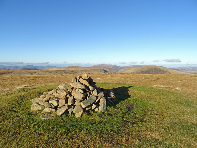
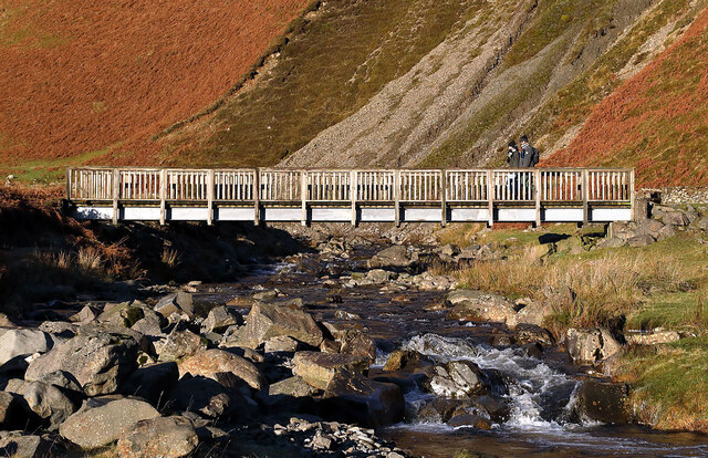
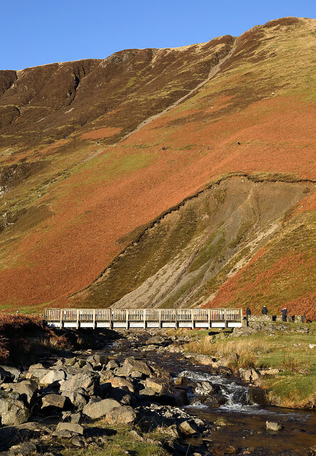
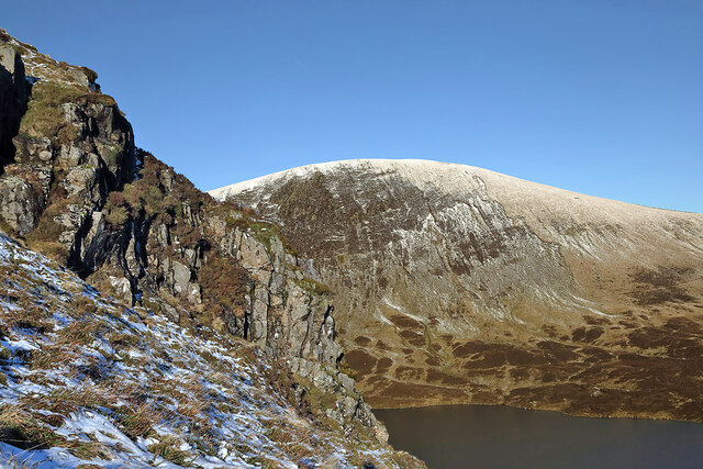
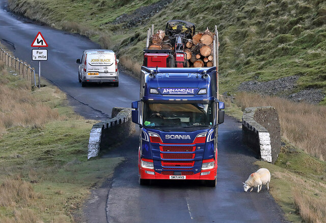
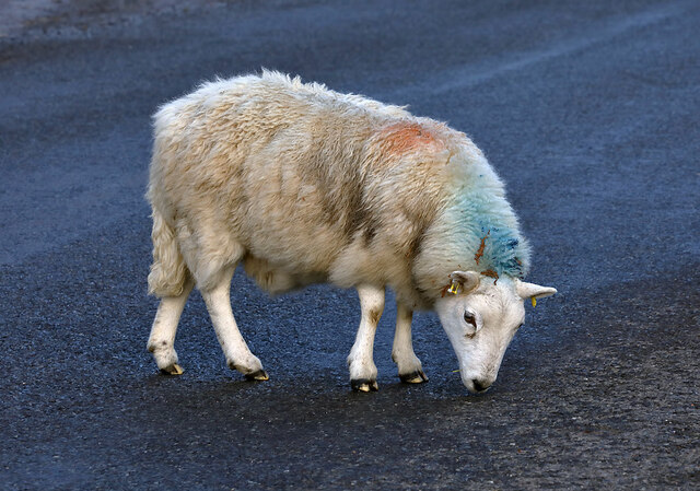
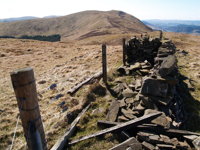
Upper Tarnberry Images

Images are sourced within 2km of 55.422218/-3.3037877 or Grid Reference NT1715. Thanks to Geograph Open Source API. All images are credited.

Upper Falls The last fall and smallest of the many waterfalls on the Tail Burn generically known as the Grey Mare's Tail. To the left above the dyke is the Corbett of White Coomb.
Upper Falls
The last fall and smallest of the many waterfalls on the Tail Burn generically known as the Grey Mare's Tail. To the left above the dyke is the Corbett of White Coomb.
Tail Burn Looking across the Tail Burn to White Coomb on the left and Mid Craig on the right on a glorious autumnal day. Path very wet and boggy in places as can be seen in right foreground.
Tail Burn
Looking across the Tail Burn to White Coomb on the left and Mid Craig on the right on a glorious autumnal day. Path very wet and boggy in places as can be seen in right foreground.
Loch Skeen On the very boggy shore of Loch Skeen looking up to the Donald of Lochcraig Head and the crags of Loch Craig.
Loch Skeen
On the very boggy shore of Loch Skeen looking up to the Donald of Lochcraig Head and the crags of Loch Craig.
White Coomb Summit Cairn On the summit of the Corbett and Donald of White Coomb - the 4th highest summit in the southern uplands. The 2nd and 3rd highest - of Broad Law and Cramalt Craig - can be seen above and to the right of the cairn. A glorious autumn day in the Borders Hills.
White Coomb Summit Cairn
On the summit of the Corbett and Donald of White Coomb - the 4th highest summit in the southern uplands. The 2nd and 3rd highest - of Broad Law and Cramalt Craig - can be seen above and to the right of the cairn. A glorious autumn day in the Borders Hills.
River Eroded Valley Classic v-shaped eroded river valley. In this case the Moffat Water just downstream of the car park for the Grey Mare's Tail. A glorious day has brought the crowds out so the car park is full and some cars have had to be parked on the verge opposite - or they are trying to avoid the £3 charge to look at a waterfall.
River Eroded Valley
Classic v-shaped eroded river valley. In this case the Moffat Water just downstream of the car park for the Grey Mare's Tail. A glorious day has brought the crowds out so the car park is full and some cars have had to be parked on the verge opposite - or they are trying to avoid the £3 charge to look at a waterfall.
Ruined Shepherd's Cottage Beside the Tail Burn <span class="nowrap"><a title="https://canmore.org.uk/site/320760/tail-burn" rel="nofollow ugc noopener" href="https://canmore.org.uk/site/320760/tail-burn">Link</a><img style="margin-left:2px;" alt="External link" title="External link - shift click to open in new window" src="https://s1.geograph.org.uk/img/external.png" width="10" height="10"/></span>
Ruined Shepherd's Cottage
Beside the Tail Burn LinkExternal link
Grey Mare's Tail
Grey Mare's Tail
The Upper Falls at The Grey Mare's Tail
A low flying Tornado GR4 I often used to wait on a hillside in the Selkirk to Moffat Valley for any low flying military aircraft that might come along on low flying sorties. This Tornado GR4 (ZA370/004) was passing the Tail Burn at the Grey Mare’s Tail Waterfalls. Air crews referred to the very narrow part of the valley between Birkhill and the Grey Mare’s Tail as ‘Star Wars’. The Tornado was withdrawn in early 2019 after nearly 40 years of service with the RAF and I still miss them.
A low flying Tornado GR4
I often used to wait on a hillside in the Selkirk to Moffat Valley for any low flying military aircraft that might come along on low flying sorties. This Tornado GR4 (ZA370/004) was passing the Tail Burn at the Grey Mare’s Tail Waterfalls. Air crews referred to the very narrow part of the valley between Birkhill and the Grey Mare’s Tail as ‘Star Wars’. The Tornado was withdrawn in early 2019 after nearly 40 years of service with the RAF and I still miss them.
A footbridge over the Tail Burn The bridge provides access from the Grey Mare’s Tail main car park to the hillside path that leads to Loch Skene.
A footbridge over the Tail Burn
The bridge provides access from the Grey Mare’s Tail main car park to the hillside path that leads to Loch Skene.
Loch Skene The loch lies in a glaciated hanging valley in the Grey Mare’s Tail Nature Reserve owned by the National Trust for Scotland. Fishing is permitted, but vendace one of Britain’s rarest fresh water fish, must be returned to the loch. Mid Craig is on the left with the steep crags of Loch Craig south of Lochcraig Head on the right.
Loch Skene
The loch lies in a glaciated hanging valley in the Grey Mare’s Tail Nature Reserve owned by the National Trust for Scotland. Fishing is permitted, but vendace one of Britain’s rarest fresh water fish, must be returned to the loch. Mid Craig is on the left with the steep crags of Loch Craig south of Lochcraig Head on the right.
Walking on Mid Craig in early January The small gorge in shadow just left of centre is Midlaw Linn. For a view down Midlaw Linn, see <a href="https://www.geograph.org.uk/photo/686161">NT1616 : Midlaw Linn</a>.
Walking on Mid Craig in early January
The small gorge in shadow just left of centre is Midlaw Linn. For a view down Midlaw Linn, see NT1616 : Midlaw Linn.
Approaching Loch Skene There is a very good path from the Grey Mare’s Tail car park up to Loch Skene. The crags at Loch Craig are in the background.
Approaching Loch Skene
There is a very good path from the Grey Mare’s Tail car park up to Loch Skene. The crags at Loch Craig are in the background.
A bridge over the Tail Burn The bridge provides access from the Grey Mare’s Tail main car park to the hillside path leading to Loch Skene.
A bridge over the Tail Burn
The bridge provides access from the Grey Mare’s Tail main car park to the hillside path leading to Loch Skene.
A rock outcrop on Mid Craig Lochcraig Head is in the background with Loch Skene below.
A rock outcrop on Mid Craig
Lochcraig Head is in the background with Loch Skene below.
Dodging a sheep on the A708 Motorists have to be aware of sheep wandering on to the road between Riskinhope and the Grey Mare’s Tail car park.
Dodging a sheep on the A708
Motorists have to be aware of sheep wandering on to the road between Riskinhope and the Grey Mare’s Tail car park.
A sheep on the A708 Sheep wandering on to the road between Riskinhope and the Grey Mare’s Tail car park is a common sight. This sheep was licking the tarmac.
A sheep on the A708
Sheep wandering on to the road between Riskinhope and the Grey Mare’s Tail car park is a common sight. This sheep was licking the tarmac.
Walkers descending the Loch Skene path below Deacon Snout A well maintained path leads from the Grey Mare’s Tail car park to Loch Skene.
Walkers descending the Loch Skene path below Deacon Snout
A well maintained path leads from the Grey Mare’s Tail car park to Loch Skene.
Show me another place!

Upper Tarnberry is located at Grid Ref: NT1715 (Lat: 55.422218, Lng: -3.3037877)

Unitary Authority: Dumfries and Galloway

Police Authority: Dumfries and Galloway

What 3 Words

///merchant.masking.dives. Near Ettrick, Scottish Borders

Nearby Locations

Upper Tarnberry

Related Wikis

Nearby Amenities

Located within 500m of 55.422218,-3.3037877
Note: small cairn
Lat/Long: 55.4235691/-3.3003966
Ford: yes
Lat/Long: 55.4241676/-3.2972702
Ford: stepping_stones
Lat/Long: 55.4252915/-3.2990356
The data included in this document is from www.openstreetmap.org. The data is made available under ODbL.

Have you been to Upper Tarnberry?

Leave your review of Upper Tarnberry below (or comments, questions and feedback).