Carn Dubh

Hill, Mountain in Banffshire

Scotland

Carn Dubh

Access to houses at Kinardochy
Access to houses at Kinardochy Credit: Alan Reid

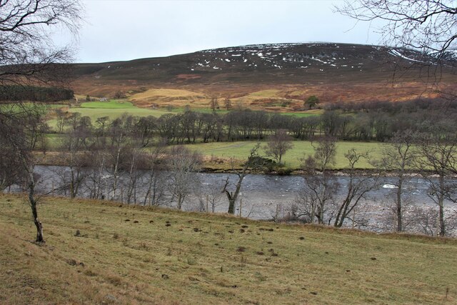
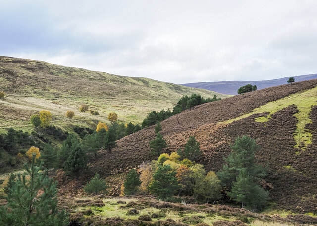
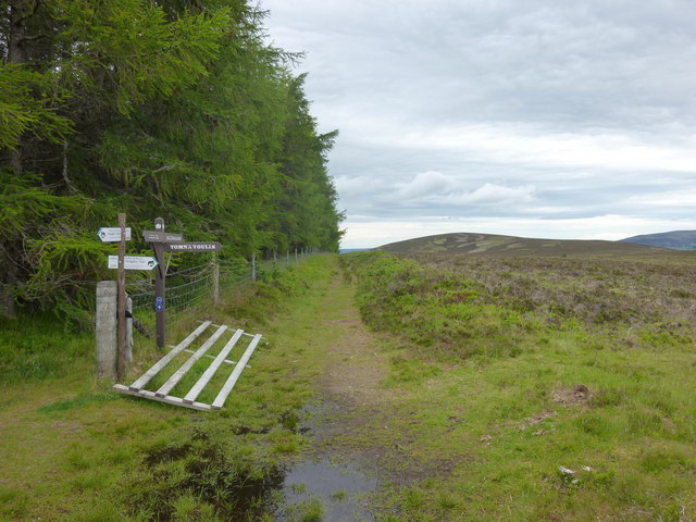
Carn Dubh is a prominent hill located in Banffshire, Scotland. Situated within the picturesque Cairngorms National Park, it stands at an elevation of approximately 512 meters (1,680 feet) above sea level. The hill is known for its rugged and rocky terrain, offering breathtaking views of the surrounding landscape.

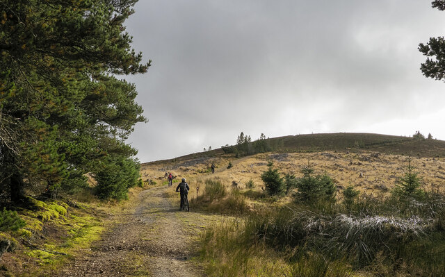
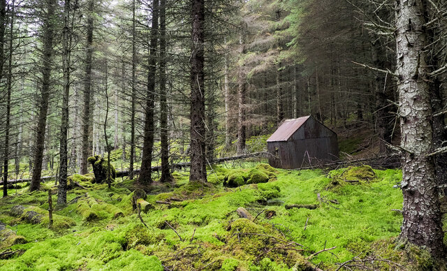
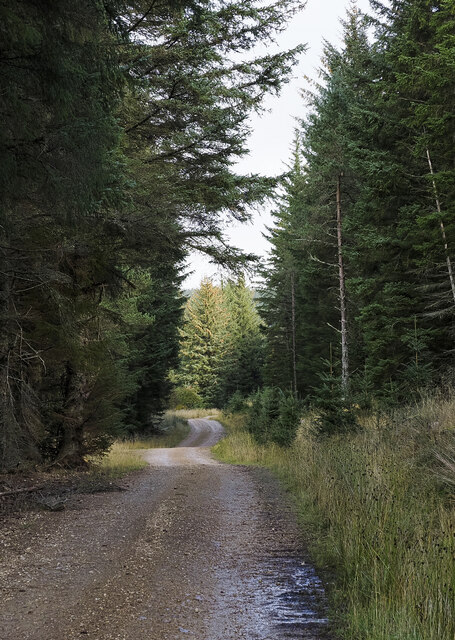
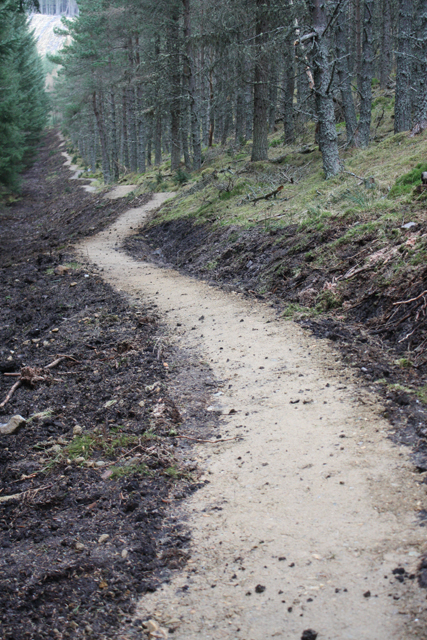
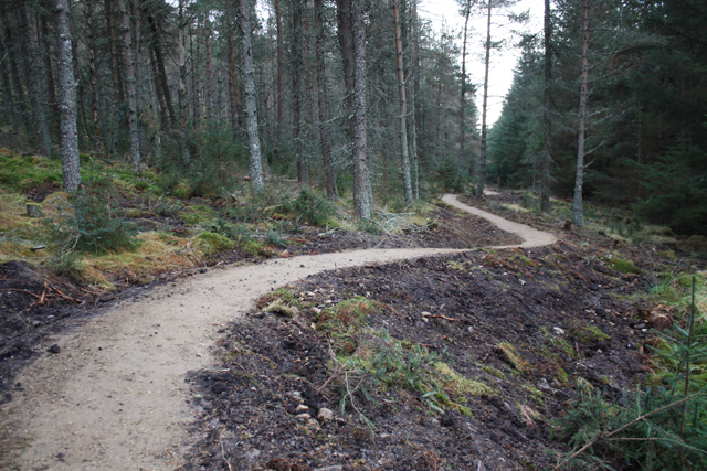
Carn Dubh is covered in a mixture of heather, grasses, and scattered patches of woodland. The hill is home to a variety of wildlife, including red deer, mountain hares, and various bird species. It is a popular destination for hikers and nature enthusiasts, providing a challenging yet rewarding climb.

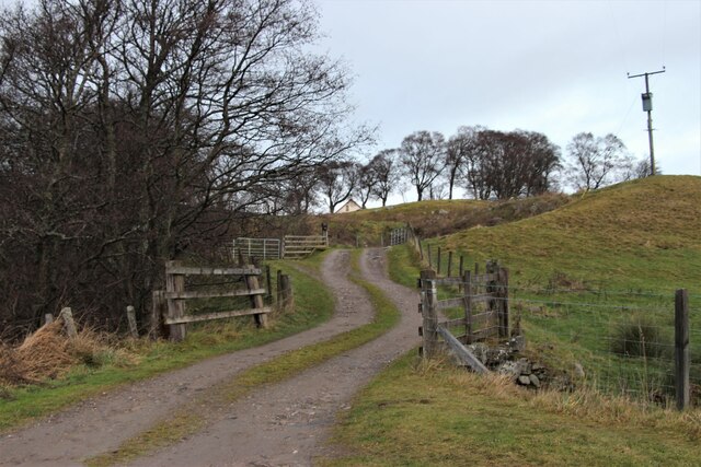
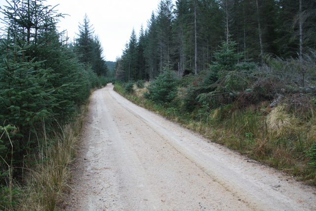
The ascent to the summit of Carn Dubh can be accessed from several different starting points, with various routes available to suit different levels of experience and fitness. The hill offers a range of difficulty levels, from gentle slopes to more steep and demanding sections. Once at the top, visitors are rewarded with panoramic views of the surrounding countryside, including the rolling hills and valleys of Banffshire.

Carn Dubh is situated in close proximity to other notable landmarks in the area, such as the River Spey and the nearby town of Ballindalloch. The hill provides an excellent opportunity for outdoor activities such as hillwalking, photography, and birdwatching. Its natural beauty and tranquil surroundings make Carn Dubh a must-visit destination for those exploring the stunning landscapes of Banffshire.

If you have any feedback on the listing, please let us know in the comments section below.

Carn Dubh Images

Images are sourced within 2km of 57.3202/-3.381962 or Grid Reference NJ1626. Thanks to Geograph Open Source API. All images are credited.

Access to houses at Kinardochy
Westward across River Avon Avon means river so 'across the Avon' would, strictly speaking, be better.
Westward across River Avon
Avon means river so 'across the Avon' would, strictly speaking, be better.
Farm shed at Dell
Farm shed at Dell
Suspension Footbridge across the Avon It gives access to Altnaha and Lyne on the west side of Strath Avon.
Suspension Footbridge across the Avon
It gives access to Altnaha and Lyne on the west side of Strath Avon.
Mountain bikers below summit of Carn Diamh The bikers are on the final stage of their climb though not all will necessarily visit the summit, even the rough track they're using passes close to the highest point and a branch of it does indeed go there.
Mountain bikers below summit of Carn Diamh
The bikers are on the final stage of their climb though not all will necessarily visit the summit, even the rough track they're using passes close to the highest point and a branch of it does indeed go there.
Coniferous plantation with cabin in Coire na Fuaraig The cabin is leaning and is presumably out of current use; it's on the north side of a forest ride with a thin but clear path.
Coniferous plantation with cabin in Coire na Fuaraig
The cabin is leaning and is presumably out of current use; it's on the north side of a forest ride with a thin but clear path.
Forest road climbing towards Coire na Fuaraig The road is on the north side of a minor hill, Tom a' Chor and is climbing to the east. It's clearly a forestry road and will probably have served as access for a gravel pit but its current major use must be by mountain bikers.
Forest road climbing towards Coire na Fuaraig
The road is on the north side of a minor hill, Tom a' Chor and is climbing to the east. It's clearly a forestry road and will probably have served as access for a gravel pit but its current major use must be by mountain bikers.
Valleys  merging north-west of Tom a' Chor The stream in the nearer valley originates in Coire na Fuaraig but is unnamed on OS maps, it joins the other valley where the drainage is by the Chabet Water.
Valleys merging north-west of Tom a' Chor
The stream in the nearer valley originates in Coire na Fuaraig but is unnamed on OS maps, it joins the other valley where the drainage is by the Chabet Water.
Knock Farmhouse Empty house at Knock Farm
Knock Farmhouse
Empty house at Knock Farm
Knock Farm steading Gradually falling down.
Knock Farm steading
Gradually falling down.
Carn Daimh track Approach to Carn Daimh along the track from Cairn Ellick.
Carn Daimh track
Approach to Carn Daimh along the track from Cairn Ellick.
Carn Daimh Track junction Several waymarked tracks meet just to the north of Carn Daimh summit.
Carn Daimh Track junction
Several waymarked tracks meet just to the north of Carn Daimh summit.
Looking to Carn Liath Carn Liath from the Speyside way.
Looking to Carn Liath
Carn Liath from the Speyside way.
Mountain bike trail, Tom a' Chor Glenlivet Estate are building new mountain bike trails, due to open August 2013.  This is part of the red route.
Mountain bike trail, Tom a' Chor
Glenlivet Estate are building new mountain bike trails, due to open August 2013. This is part of the red route.
Mountain bike trail construction A new trail centre being built on Glenlivet Estate.  Due to open August 2013, this is part of the red route.
Mountain bike trail construction
A new trail centre being built on Glenlivet Estate. Due to open August 2013, this is part of the red route.
Forest track, Tom a' Chor
Mountain bike trail, Tom a' Chor New trails under construction on Glenlivet Estate.  Due to open August 2013, this is part of the red route.
Mountain bike trail, Tom a' Chor
New trails under construction on Glenlivet Estate. Due to open August 2013, this is part of the red route.
Forest track, Glenlivet Estate North of Tom a' Chor, in an area being developed for mountain biking.
Forest track, Glenlivet Estate
North of Tom a' Chor, in an area being developed for mountain biking.
Show me another place!

Carn Dubh is located at Grid Ref: NJ1626 (Lat: 57.3202, Lng: -3.381962)

Unitary Authority: Moray

Police Authority: North East

What 3 Words

///shapeless.drew.orders. Near Grantown-on-Spey, Highland

Nearby Locations

Carn na Dalach Carn Dubh

Related Wikis

Tomintoul distillery

Tomintoul distillery is a distillery in Kirkmichael, between Ballindalloch and Tomintoul in the Speyside region of Scotland, producing malt whisky for...

Kirkmichael, Moray

Kirkmichael is a parish and hamlet in Moray, Scotland. Kirkmichael was historically part of Banffshire.The hamlet lies approximately 8 miles south of Ballindalloch...

The Glenlivet distillery

The Glenlivet distillery is a distillery near Ballindalloch in Moray, Scotland that produces single malt Scotch whisky. It is the oldest legal distillery...

Blairfindy Castle

Blairfindy Castle is an L-plan tower house, dating from the 16th century, around 6.5 miles (10.5 km) north of Tomintoul, and west of the River Livet....

Drumin Castle

Drumin Castle is a ruined tower house near Glenlivet, Moray, Scotland. The castle is situated on a ridge above the junction of the Livet and Avon Rivers...

Glenlivet

Glenlivet (Scottish Gaelic: Gleann Lìobhait) is the glen in the Scottish Highlands through which the River Livet flows. The river rises high in the Ladder...

Tamnavulin distillery

Tamnavulin distillery is a producer of single malt Scotch whisky that was founded in 1966. The distillery is operated by Whyte & Mackay, which Philippines...

Auchbreck

Auchbreck (Scottish Gaelic: An t-Achadh Breac, meaning the speckled field) is a village in Moray, Scotland.

Have you been to Carn Dubh?

Leave your review of Carn Dubh below (or comments, questions and feedback).