Bowers Knowe

Hill, Mountain in Peeblesshire

Scotland

Bowers Knowe

Dawyck Woodland Garden March 2022 This hillside garden adjoins both banks of the Scrape Burn.  Dawyck is managed as an outstation of Edinburgh Royal Botanic Garden, and is noted for its majestic conifers, springtime rhododendrons, and woodland fungi in the autumn.
Dawyck Woodland Garden March 2022 Credit: Graham Ovens

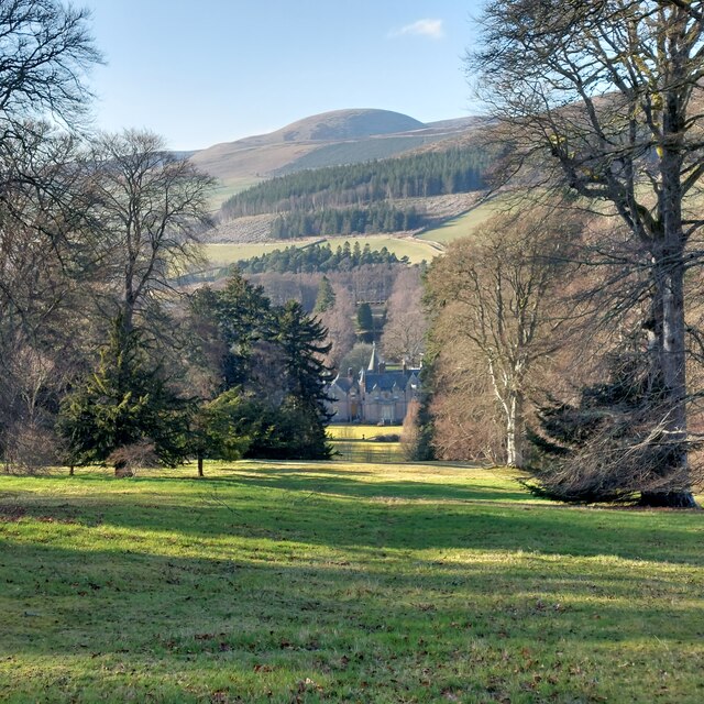
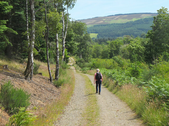
Bowers Knowe is a prominent hill located in Peeblesshire, Scotland. It is part of the Southern Uplands, a range of hills and mountains that stretch across the southern region of the country. Standing at an elevation of approximately 350 meters (1,150 feet), Bowers Knowe offers stunning panoramic views of the surrounding countryside and is a popular destination for hikers and nature lovers.

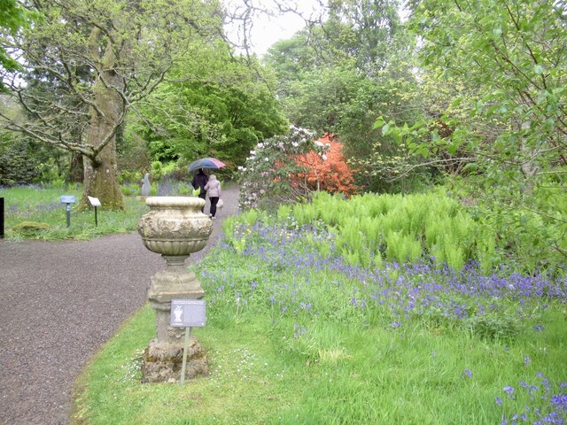
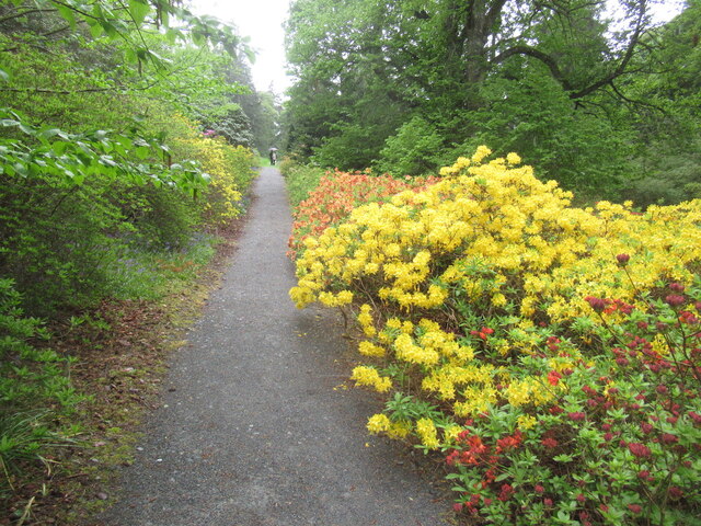
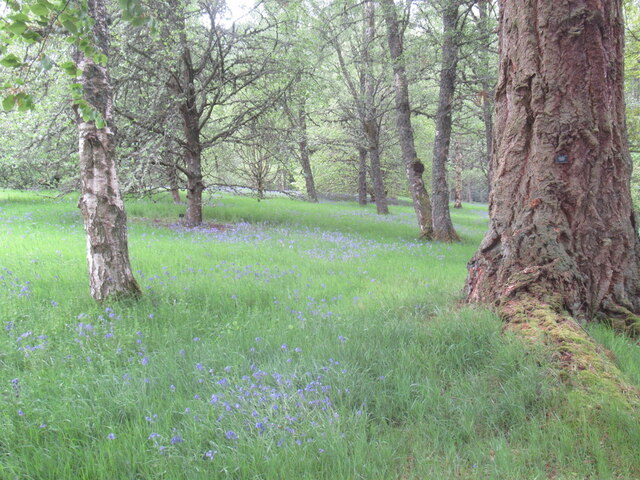
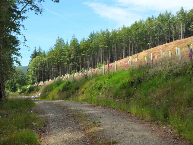
The hill is characterized by its distinct conical shape and is covered in heather and grasses, providing a rich habitat for various wildlife species. It is also home to a diverse range of flora, including wildflowers and shrubs, which add to the area's natural beauty.

The ascent to the summit of Bowers Knowe is relatively moderate, making it accessible to all levels of hikers. The hill features a well-marked trail that leads visitors through rolling terrain and picturesque landscapes. Along the way, hikers may encounter grazing sheep and other livestock that roam the surrounding farmland.

At the top of Bowers Knowe, visitors are rewarded with breathtaking views of the Tweed Valley and the surrounding hills. On clear days, it is even possible to see as far as the distant peaks of the Scottish Borders and the Pentland Hills.

Overall, Bowers Knowe is a captivating hill that offers a peaceful retreat from the bustling city life. Its accessibility, natural beauty, and panoramic views make it a popular destination for outdoor enthusiasts and those seeking an escape into nature.

If you have any feedback on the listing, please let us know in the comments section below.
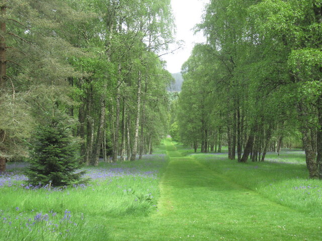
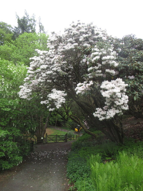
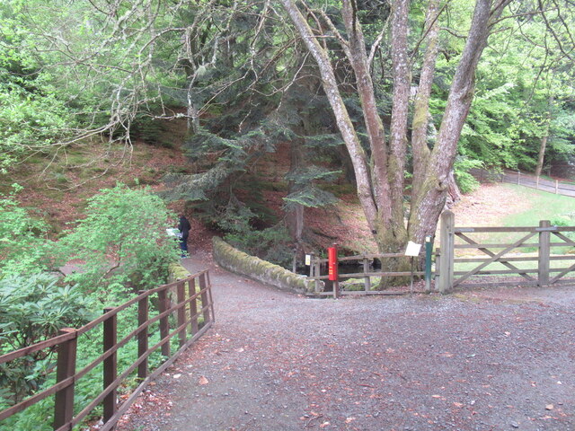
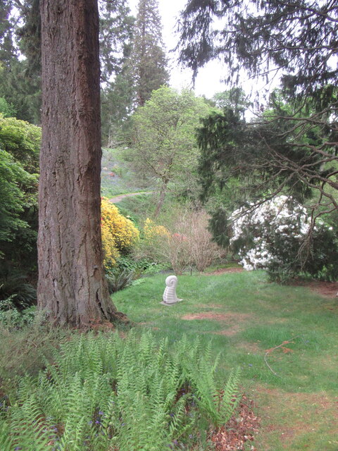
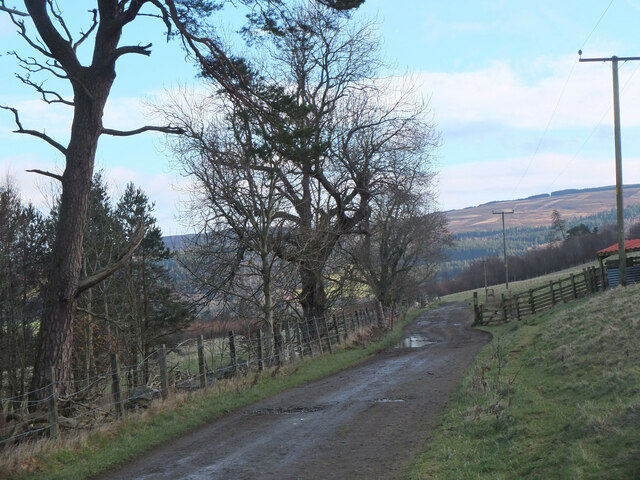
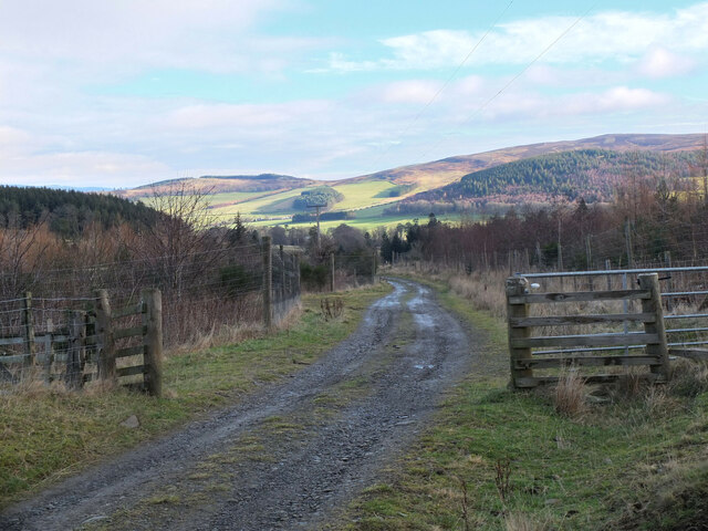
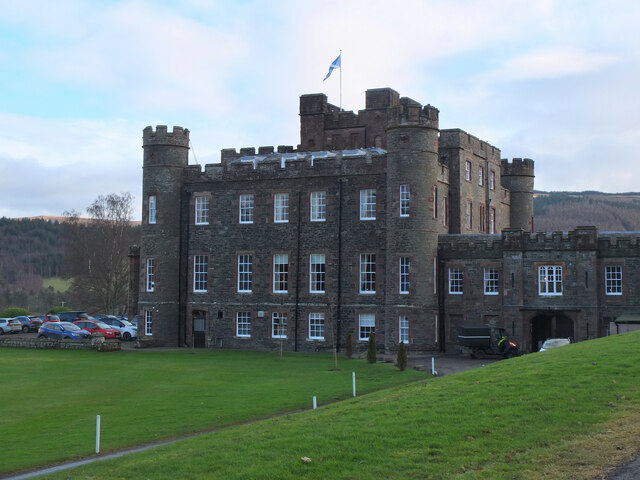
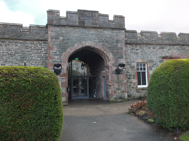
Bowers Knowe Images

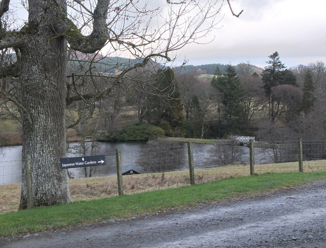
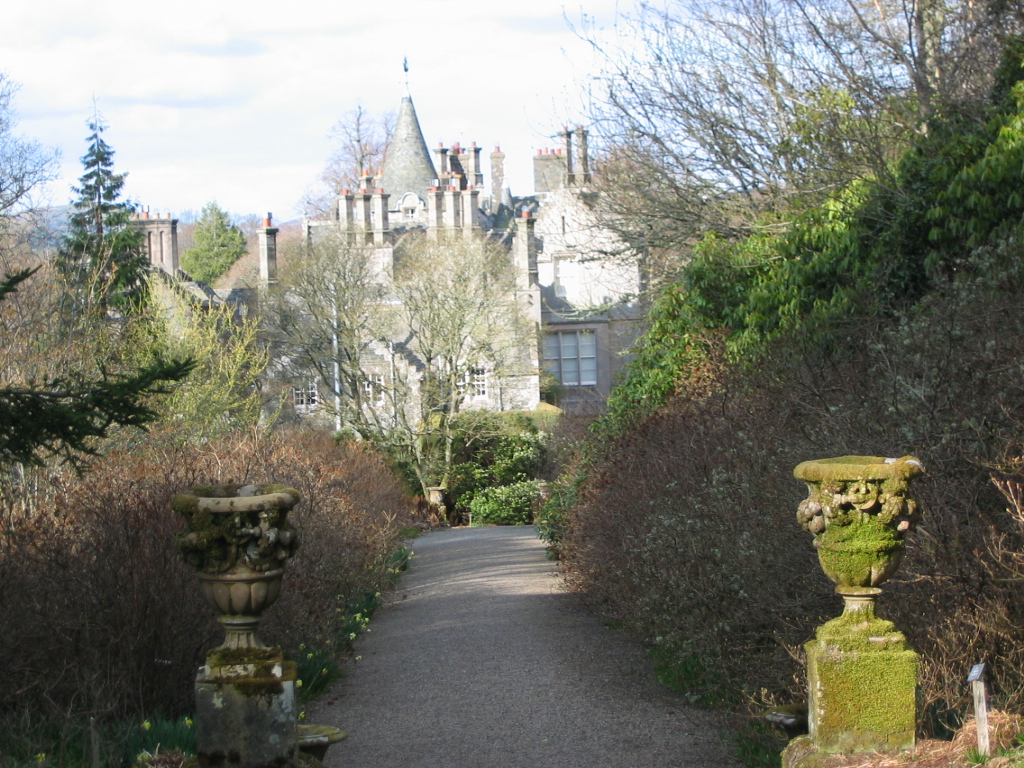
Images are sourced within 2km of 55.60426/-3.3323134 or Grid Reference NT1635. Thanks to Geograph Open Source API. All images are credited.

Dawyck Woodland Garden March 2022 This hillside garden adjoins both banks of the Scrape Burn.  Dawyck is managed as an outstation of Edinburgh Royal Botanic Garden, and is noted for its majestic conifers, springtime rhododendrons, and woodland fungi in the autumn.
Dawyck Woodland Garden March 2022
This hillside garden adjoins both banks of the Scrape Burn. Dawyck is managed as an outstation of Edinburgh Royal Botanic Garden, and is noted for its majestic conifers, springtime rhododendrons, and woodland fungi in the autumn.
Dawyck Botanic Garden Near the entrance and cafe, heading out into the garden.
Dawyck Botanic Garden
Near the entrance and cafe, heading out into the garden.
Azalea Terrace, Dawyck The Dawyck gardens specialise in rhododendrons from cool climates, some returned from expeditions to the eastern Himalaya in the early 1990s.
Azalea Terrace, Dawyck
The Dawyck gardens specialise in rhododendrons from cool climates, some returned from expeditions to the eastern Himalaya in the early 1990s.
Woodland, Dawyck Botanic Garden Mostly birch here but still with some of the specimen conifers.
Woodland, Dawyck Botanic Garden
Mostly birch here but still with some of the specimen conifers.
Ride, Dawyck Botanic Gardens
Rhododendron, Dawyck Botanic Gardens One of the many rhododendrons in the collection here, many gathered in expeditions to eastern Himalaya in the early 1990s.
Rhododendron, Dawyck Botanic Gardens
One of the many rhododendrons in the collection here, many gathered in expeditions to eastern Himalaya in the early 1990s.
Bridge, Dynamo Pond On the Scrape Burn near the deer fence at the top of the botanic gardens.
Bridge, Dynamo Pond
On the Scrape Burn near the deer fence at the top of the botanic gardens.
Sculpture, Dawyck Botanic Garden
On the track to Stobo An estate track following the course of the Weston Burn towards Home Farm.
On the track to Stobo
An estate track following the course of the Weston Burn towards Home Farm.
Tree planting on Harrow Hill Broadleaved trees have been planted around the edge of the clear-felled section shown in <a href="https://www.geograph.org.uk/photo/6789832">NT1637 : Clear-felled ground, Harrow Hill</a>.
Tree planting on Harrow Hill
Broadleaved trees have been planted around the edge of the clear-felled section shown in NT1637 : Clear-felled ground, Harrow Hill.
Autumn colour at Dawyck The Scrape Burn with a lot of water after a wet October.
Autumn colour at Dawyck
The Scrape Burn with a lot of water after a wet October.
Autumn colour at Dawyck Wind and rain have stripped off much of the autumn colour, but this maple still stands out, bright crimson.
Autumn colour at Dawyck
Wind and rain have stripped off much of the autumn colour, but this maple still stands out, bright crimson.
Track to Stobo The farm track from Stobohope along the southern side of the Weston Burn.
Track to Stobo
The farm track from Stobohope along the southern side of the Weston Burn.
Farm track from Stobohope The track to Stobo Castle and Home Farm. The dip in the skyline ahead is the route of the John Buchan Way over the ridge to Glack Hope and the Manor Valley.
Farm track from Stobohope
The track to Stobo Castle and Home Farm. The dip in the skyline ahead is the route of the John Buchan Way over the ridge to Glack Hope and the Manor Valley.
Stobo Castle The castle was completed in 1811, replacing an earlier house on the site. Now it is a hotel and health spa.
Stobo Castle
The castle was completed in 1811, replacing an earlier house on the site. Now it is a hotel and health spa.
Spa entrance, Stobo Castle Entrance to the swimming pool and spa next to the main castle building.
Spa entrance, Stobo Castle
Entrance to the swimming pool and spa next to the main castle building.
Stobo Loch The Japanese gardens were laid out in the early 20th century by a previous owner of the estate.
Stobo Loch
The Japanese gardens were laid out in the early 20th century by a previous owner of the estate.
Ostrich or Shuttlecock Fern Matteucia struthiopteris at the Dawyck Botanic Garden. The shorter brown fronds are not dead, but fertile fronds, producing spores.
Ostrich or Shuttlecock Fern
Matteucia struthiopteris at the Dawyck Botanic Garden. The shorter brown fronds are not dead, but fertile fronds, producing spores.
Show me another place!

Bowers Knowe is located at Grid Ref: NT1635 (Lat: 55.60426, Lng: -3.3323134)

Unitary Authority: The Scottish Borders

Police Authority: The Lothians and Scottish Borders

What 3 Words

///otter.rent.conceals. Near Peebles, Scottish Borders

Related Wikis

Bellspool

Bellspool is a village in the Scottish Borders area of Scotland, near to Drumelzier, Hopcarton and Kingledoors == See also == List of places in the Scottish...

Dawyck Botanic Garden

Dawyck Botanic Garden is a botanic garden and arboretum covering 25 hectares (62 acres) at Stobo on the B712, 8 miles (13 kilometres) south of Peebles...

Dawyck House

Dawyck House is a historic house at Dawyck, in the parish of Drumelzier in the former Peeblesshire, in the Scottish Borders area of Scotland. The alternative...

Dawyck Chapel

Dawyck Chapel, also known as Dalwick Church, is located (NGR NT 16798 34933) within the Parish of Drumelzier in the Scottish Borders area of Scotland....

Nearby Amenities

Located within 500m of 55.60426,-3.3323134
Post Box
Source: survey
Lat/Long: 55.6038239/-3.3357712
Bellspool
Place: locality
Wikidata: Q4884175
Wikipedia: en:Bellspool
Lat/Long: 55.6034661/-3.3328164
Entrance: yes
Wikidata: Q17849193
Lat/Long: 55.6036009/-3.3338743
Entrance: yes
Wikidata: Q17849175
Lat/Long: 55.6035642/-3.3337147
Entrance: yes
Wikidata: Q17849211
Lat/Long: 55.6036369/-3.3340306
Fixme: continue
Lat/Long: 55.6062888/-3.3272374
Barrier: stile
Stile: stepover
Lat/Long: 55.6056555/-3.3278194
Power: pole
Lat/Long: 55.6050356/-3.3394717
Power: pole
Lat/Long: 55.6051479/-3.3380142
Power: pole
Lat/Long: 55.6052495/-3.3365864
Power: pole
Lat/Long: 55.6053272/-3.3356175
Power: pole
Lat/Long: 55.605216/-3.3343737
Power: pole
Lat/Long: 55.6051061/-3.3331891
Power: pole
Lat/Long: 55.6053057/-3.3318163
Power: pole
Lat/Long: 55.6042481/-3.3338957
Power: pole
Lat/Long: 55.6037331/-3.3343208
Power: pole
Lat/Long: 55.6032408/-3.3349301
Power: pole
Lat/Long: 55.6025525/-3.3358143
Power: pole
Lat/Long: 55.6020314/-3.3364552
Power: pole
Lat/Long: 55.6017374/-3.3368212
Power: pole
Lat/Long: 55.6012176/-3.3374854
Power: pole
Lat/Long: 55.6055243/-3.3304561
Power: pole
Lat/Long: 55.6057585/-3.3288781
Power: pole
Lat/Long: 55.6059354/-3.3277824
Power: pole
Lat/Long: 55.6063333/-3.3269447
Power: pole
Lat/Long: 55.6066882/-3.326069
Bus Stop
Dawyck Lodge
Bus: yes
Naptan AtcoCode: 690031774
Naptan Bearing: SW
Naptan CommonName: Dawyck Lodge
Naptan Indicator: at
Naptan Landmark: Road End
Naptan NaptanCode: 72723310
Naptan Street: B712
Operator: Scottish Borders Council
Public Transport: platform
Ref: 690031774
Source: NaPTAN
Lat/Long: 55.6036009/-3.3299276
Bus Stop
Wester Dawyck Road End
Bus: yes
Naptan AtcoCode: 690031795
Naptan Bearing: W
Naptan CommonName: Wester Dawyck Rd End
Naptan Indicator: at
Naptan Landmark: Wester Dawyck Rd
Naptan NaptanCode: 72723311
Naptan Street: B712
Operator: Scottish Borders Council
Public Transport: platform
Ref: 690031795
Source: NaPTAN
Lat/Long: 55.6039141/-3.3357428
Bus Stop
Wester Dawyck Road End
Bus: yes
Naptan AtcoCode: 69001111
Naptan Bearing: E
Naptan CommonName: Wester Dawyck Rd End
Naptan Indicator: opp
Naptan Landmark: Wester Dawyck Rd
Naptan NaptanCode: 72726857
Naptan Street: B712
Operator: Scottish Borders Council
Public Transport: platform
Ref: 69001111
Source: NaPTAN
Lat/Long: 55.6040027/-3.3358263
Bus Stop
Dawyck Lodge
Bus: yes
Naptan AtcoCode: 690031797
Naptan Bearing: NE
Naptan CommonName: Dawyck Lodge
Naptan Indicator: opp
Naptan Landmark: Dawyck Lodge
Naptan NaptanCode: 72723312
Naptan Street: B712
Operator: Scottish Borders Council
Public Transport: platform
Ref: 690031797
Source: NaPTAN
Lat/Long: 55.6038078/-3.3298511
The data included in this document is from www.openstreetmap.org. The data is made available under ODbL.

Have you been to Bowers Knowe?

Leave your review of Bowers Knowe below (or comments, questions and feedback).