Shielstead Hill
Hill, Mountain in Dumfriesshire
Scotland
Shielstead Hill
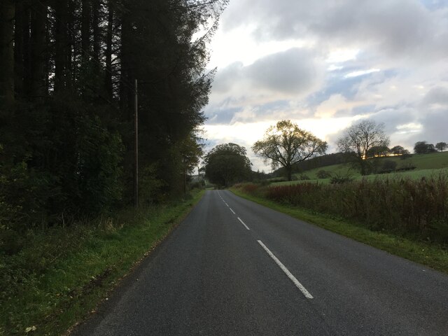
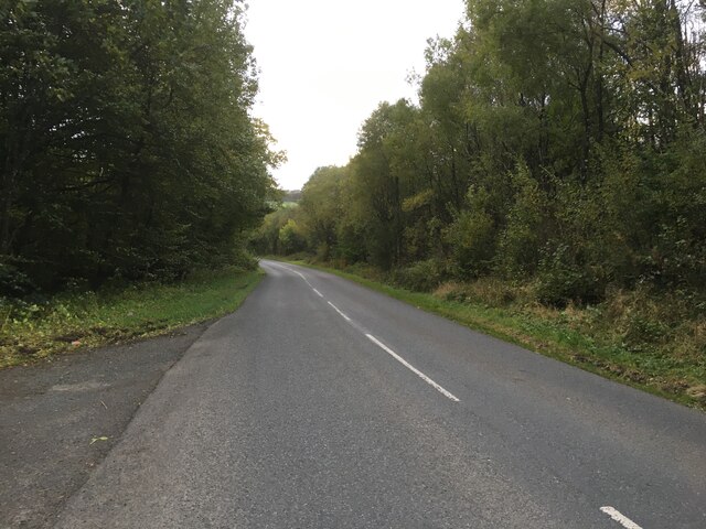
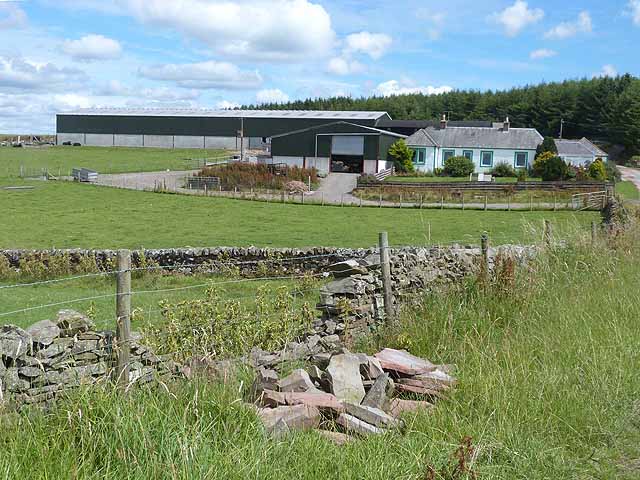
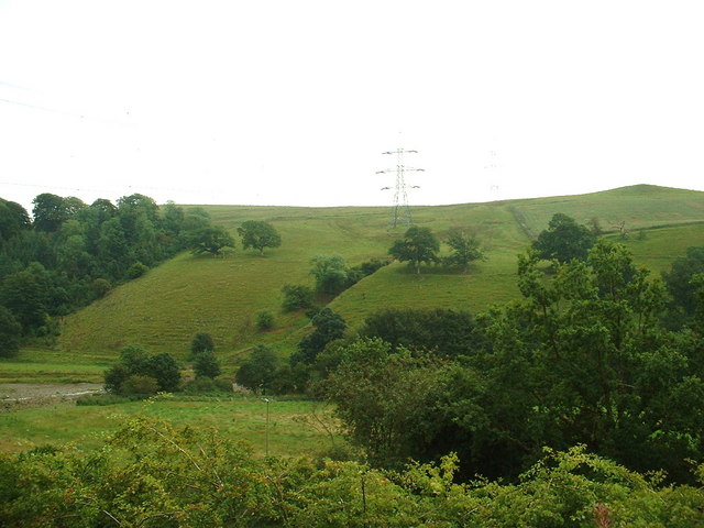
Shielstead Hill is a prominent hill located in Dumfriesshire, a historical county in the southern part of Scotland. Rising to an elevation of approximately 238 meters (781 feet), it is classified as a hill rather than a mountain. The hill is situated near the village of Springholm, roughly 13 kilometers (8 miles) east of the town of Castle Douglas.
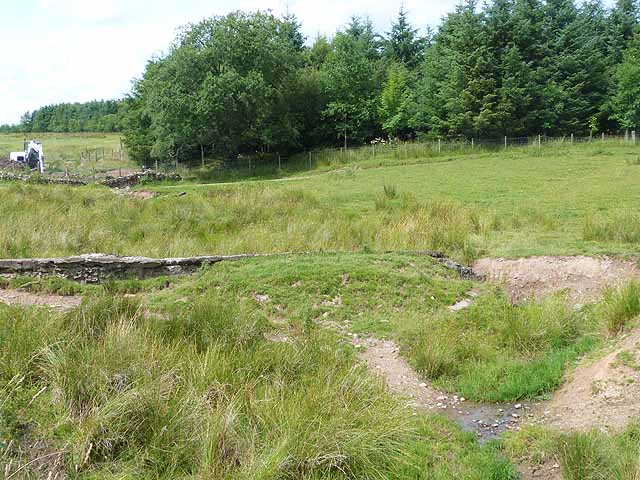
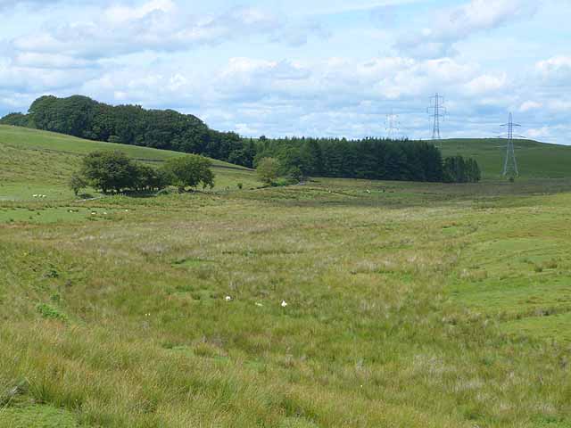
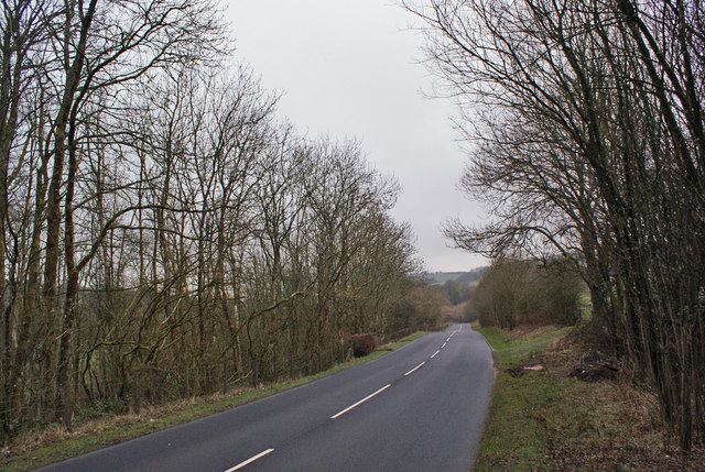
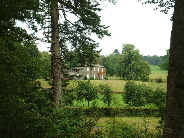
Shielstead Hill is characterized by its gentle slopes and rounded summit, which offers panoramic views of the surrounding countryside. The hill is primarily covered in grass and heather, with some scattered trees and shrubs dotting its slopes. It is known for its picturesque beauty, particularly during the summer when wildflowers carpet the hillside.
The hill is accessible via a network of footpaths and trails that wind their way through the surrounding countryside. These routes attract hikers, walkers, and nature enthusiasts who enjoy the tranquility and natural splendor of the area. Shielstead Hill also offers opportunities for wildlife spotting, as it is home to a variety of bird species, including buzzards and kestrels.
Visitors to Shielstead Hill can also explore the nearby Drumtroddan Standing Stones, a collection of ancient megalithic monuments that date back to the Bronze Age. These stones provide an insight into the area's rich history and add to the overall appeal of the Shielstead Hill region.
In summary, Shielstead Hill is a picturesque and accessible hill in Dumfriesshire, offering stunning views, peaceful surroundings, and opportunities for outdoor activities and exploration.
If you have any feedback on the listing, please let us know in the comments section below.
Shielstead Hill Images
Images are sourced within 2km of 55.179705/-3.3181716 or Grid Reference NY1688. Thanks to Geograph Open Source API. All images are credited.


![Cottage by Gowka Burn Cleuch Looking north. I think Cleuch must be a 'local' [Gaelic?] name for a stream valley?](https://s3.geograph.org.uk/photos/22/15/221551_739d1f95.jpg)
Shielstead Hill is located at Grid Ref: NY1688 (Lat: 55.179705, Lng: -3.3181716)
Unitary Authority: Dumfries and Galloway
Police Authority: Dumfries and Galloway
What 3 Words
///joyously.deleting.defected. Near Lockerbie, Dumfries & Galloway
Nearby Locations
Related Wikis

Sibbaldbie
Sibbaldbie is a small village in Annandale, Dumfries and Galloway, Scotland. == References ==
Boreland
Boreland is a village in Dumfries and Galloway, Scotland, which is located in Dryfesdale about 7 miles (11 kilometres) north of Lockerbie on the B723 road...
Nethercleugh railway station
Nethercleugh railway station was a station which served the rural area around Nethercleugh and the estate of Jardine Hall, 3 miles north of Lockerbie in...

Steven's Croft power station
Steven's Croft is a wood-fired power station near Lockerbie in Scotland. It started energy production in 2008. It is operated by E.ON and produces 44 MW...

Dinwoodie railway station
Dinwoodie railway station was a station which served the rural area around the settlement of Dinwoodie, 6 miles north of Lockerbie in Applegarth parish...
Millhousebridge
Millhousebridge (Scottish Gaelic: Drochaid a' Mhuilinn) is a village in Dumfries and Galloway, Scotland. == References ==
Lockerbie Academy
Lockerbie Academy is a mainstream non-denominational secondary school in Lockerbie, Scotland. The head teacher is Brian Asher. The school roll is around...

Whitcastles stone circle
Whitcastles or Little Hartfell (grid reference NY 2240 8806) is a stone circle 6½ miles NE of Lockerbie, Dumfries and Galloway. Nine fallen stones lie...
Nearby Amenities
Located within 500m of 55.179705,-3.3181716Have you been to Shielstead Hill?
Leave your review of Shielstead Hill below (or comments, questions and feedback).