Fore Field
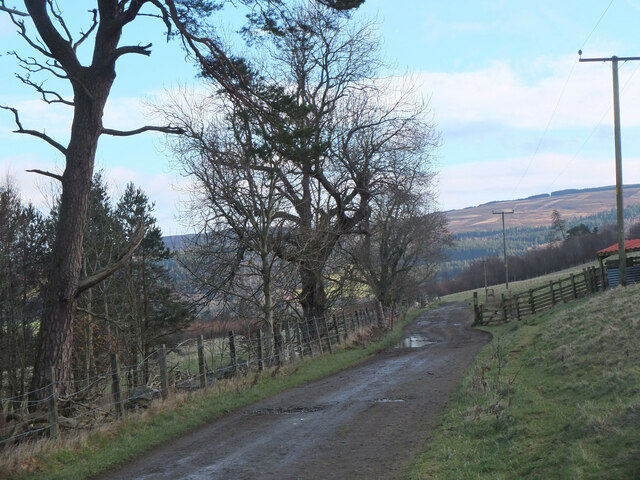
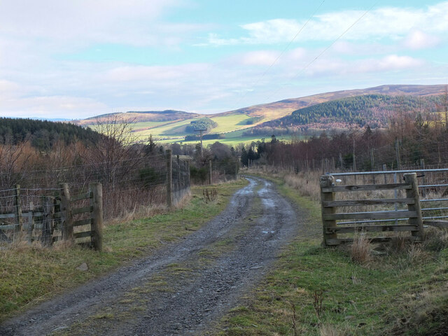
Downs, Moorland in Peeblesshire
Scotland
Fore Field
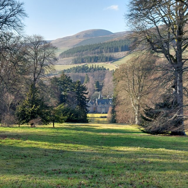
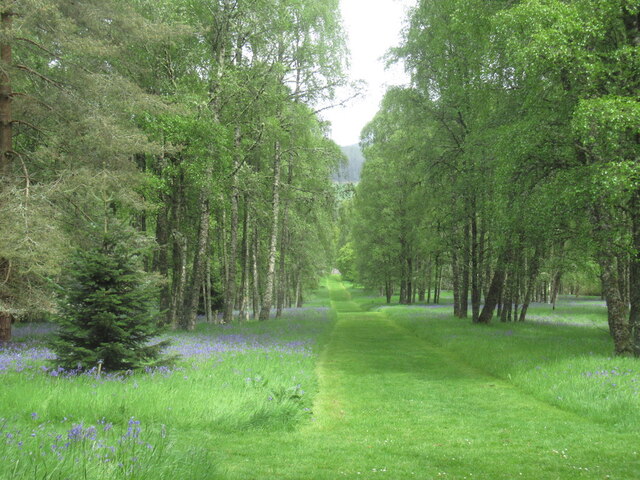
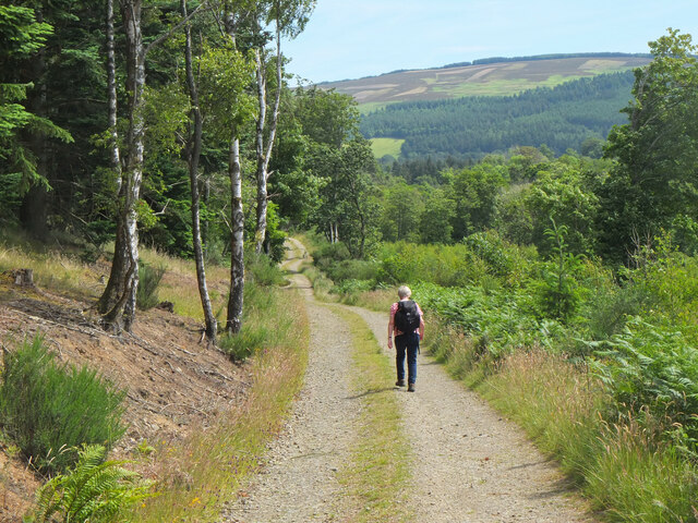
Fore Field, located in Peeblesshire, is a picturesque area renowned for its stunning downs and moorland landscapes. Stretching across approximately 10 square miles, this natural haven is a haven for nature enthusiasts and outdoor adventurers alike.
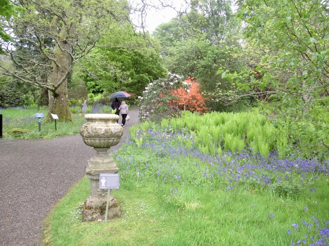
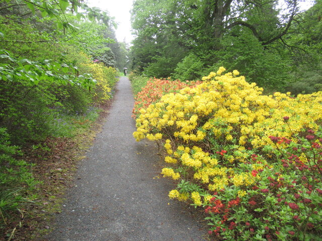
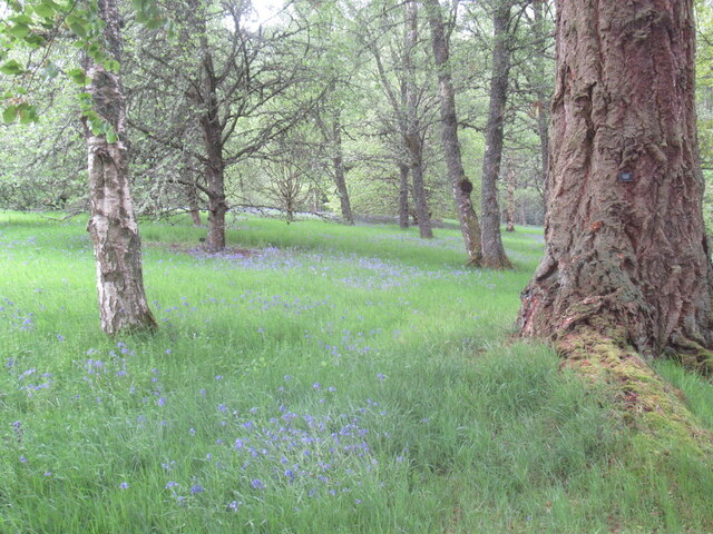
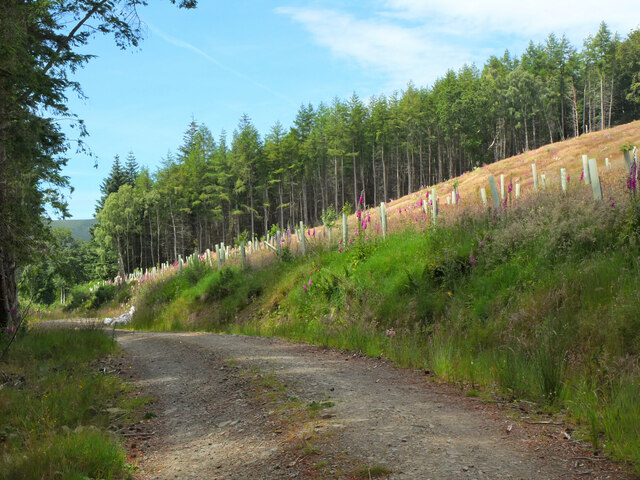
The downs of Fore Field are characterized by their gently rolling hills, covered in lush green grasses and scattered with vibrant wildflowers during the warmer months. These undulating slopes provide breathtaking panoramic views of the surrounding countryside, making it a popular spot for hikers and photographers seeking awe-inspiring vistas.
Meanwhile, the moorland of Fore Field offers a more rugged and wild terrain. Blanketed in heather and peat, this area is home to a variety of unique flora and fauna. Visitors can witness the enchanting sight of purple heather stretching as far as the eye can see, creating a surreal atmosphere. Birdwatchers can observe species such as red grouse, merlins, and golden eagles that call this moorland their home.
Fore Field is also known for its historical and cultural significance. The area is dotted with ancient archaeological sites, including stone circles and burial grounds, providing a glimpse into the region's rich past. Visitors can delve into the area's history and explore these fascinating remnants of ancient civilizations.
With its diverse landscapes and historical heritage, Fore Field in Peeblesshire offers a captivating experience for those seeking tranquility and natural beauty. Whether it's hiking, birdwatching, or embracing the area's cultural heritage, visitors are sure to be enthralled by the enchanting charm of Fore Field.
If you have any feedback on the listing, please let us know in the comments section below.
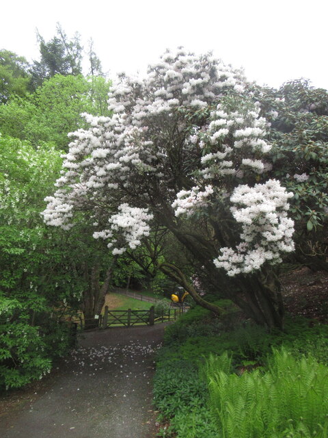
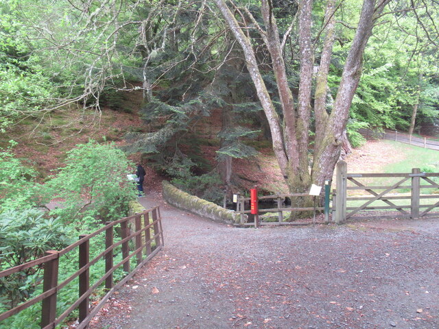
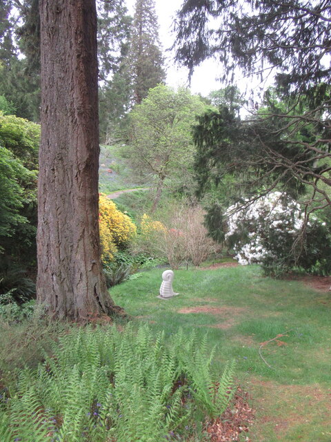
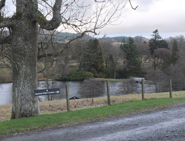
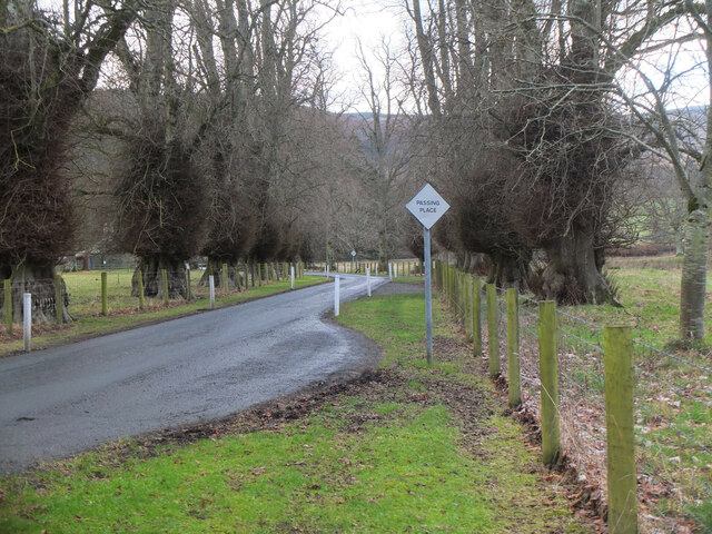
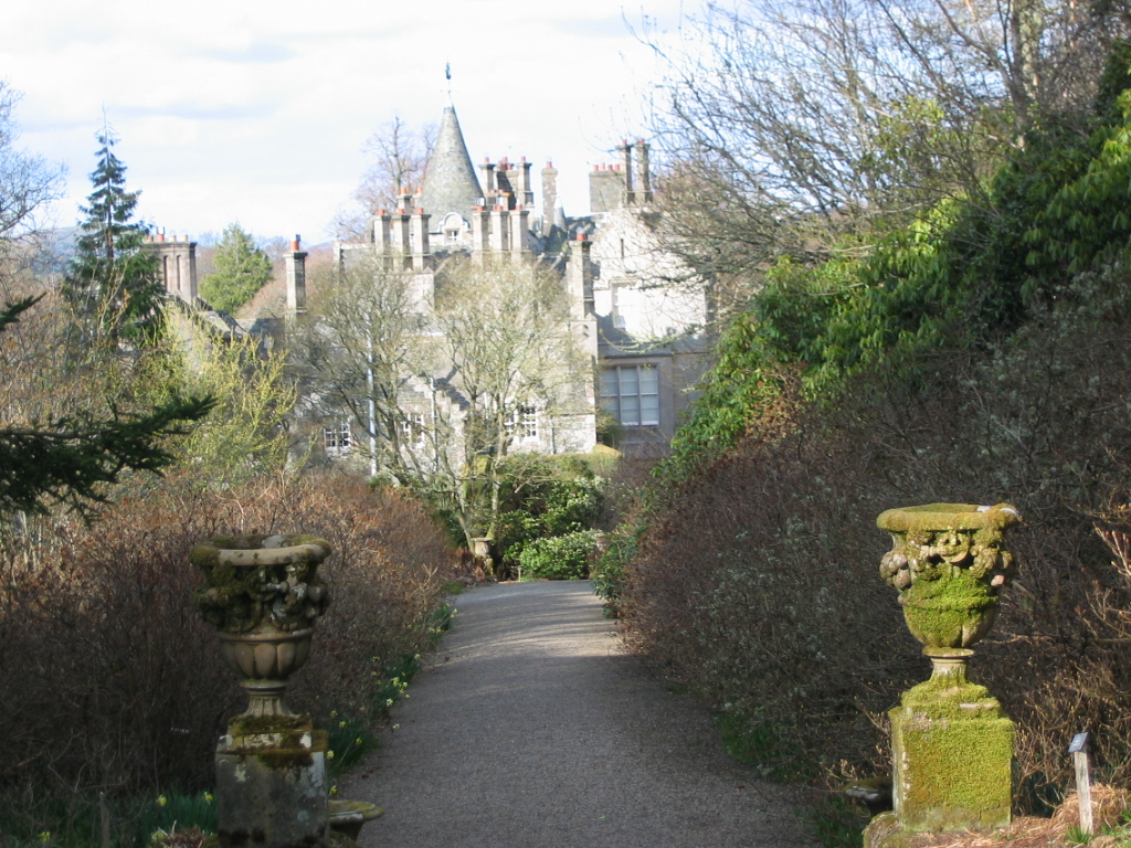
Fore Field Images
Images are sourced within 2km of 55.604606/-3.3260552 or Grid Reference NT1635. Thanks to Geograph Open Source API. All images are credited.
Fore Field is located at Grid Ref: NT1635 (Lat: 55.604606, Lng: -3.3260552)
Unitary Authority: The Scottish Borders
Police Authority: The Lothians and Scottish Borders
What 3 Words
///defected.social.yelled. Near Peebles, Scottish Borders
Nearby Locations
Related Wikis

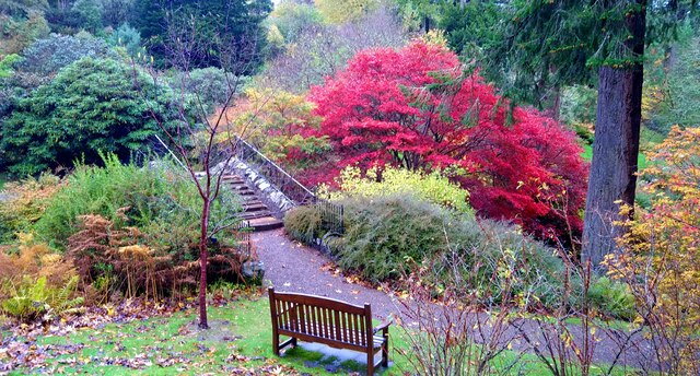
Dawyck Botanic Garden
Dawyck Botanic Garden is a botanic garden and arboretum covering 25 hectares (62 acres) at Stobo on the B712, 8 miles (13 kilometres) south of Peebles...
Dawyck House
Dawyck House is a historic house at Dawyck, in the parish of Drumelzier in the former Peeblesshire, in the Scottish Borders area of Scotland. The alternative...

Dawyck Chapel
Dawyck Chapel, also known as Dalwick Church, is located (NGR NT 16798 34933) within the Parish of Drumelzier in the Scottish Borders area of Scotland....

Bellspool
Bellspool is a village in the Scottish Borders area of Scotland, near to Drumelzier, Hopcarton and Kingledoors == See also == List of places in the Scottish...

Stobo railway station
Stobo railway station was a railway station in the Borders east of Biggar, serving the hamlet of Stobo; a rural community within the Parish of Stobo....

Upper Tweeddale National Scenic Area
The Upper Tweeddale National Scenic Area lies in the Borders region of Scotland. It is one of 40 national scenic areas (NSA) in Scotland, which are defined...

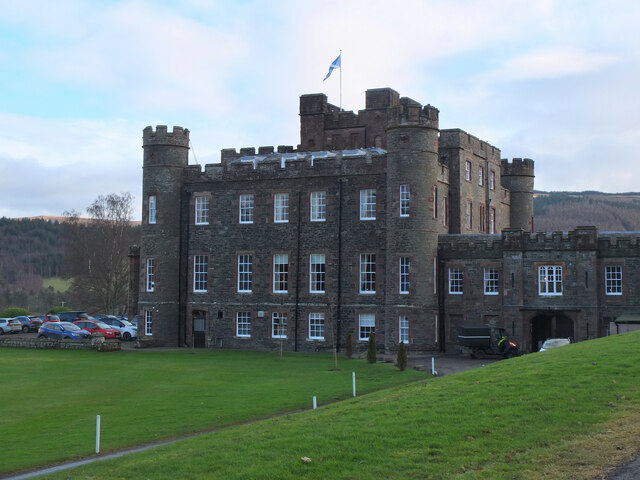
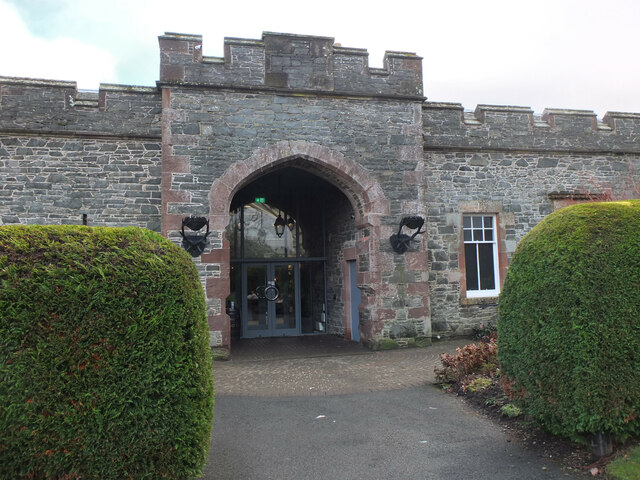
Stobo Castle
Stobo Castle is located at Stobo in the Scottish Borders, in the former county of Peeblesshire. The Manor of Stobo was originally owned by the Balfour...

Dreva on Tweed
Dreva on Tweed (or simply Dreva) is a hamlet in the Scottish Borders. It was historically in Peebles-shire. It is noted for the historical presence of...
Nearby Amenities
Located within 500m of 55.604606,-3.3260552Have you been to Fore Field?
Leave your review of Fore Field below (or comments, questions and feedback).