Donald's Cleuch Head

Hill, Mountain in Peeblesshire

Scotland

Donald's Cleuch Head

Loch Skeen On the very boggy shore of Loch Skeen looking up to the Donald of Lochcraig Head and the crags of Loch Craig.
Loch Skeen Credit: Adam Ward

Donald's Cleuch Head is a prominent hill located in Peeblesshire, a historic county in the southern part of Scotland. With an elevation of 586 meters (1,923 feet), it is classified as a Donald, which is a term used to describe hills in Scotland that have a prominence of at least 100 meters (328 feet).

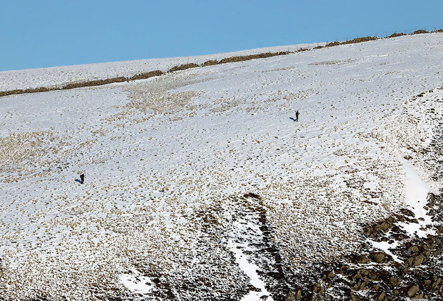
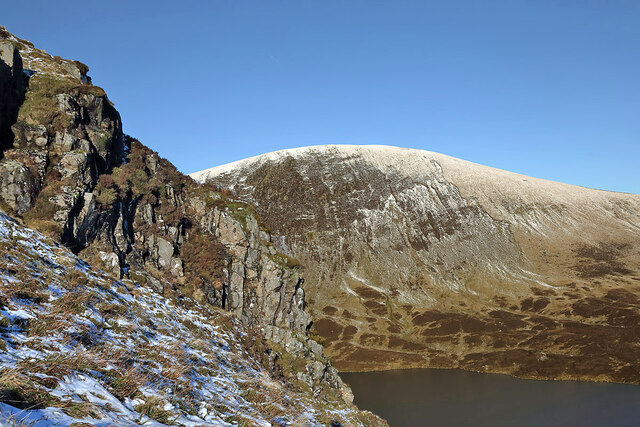
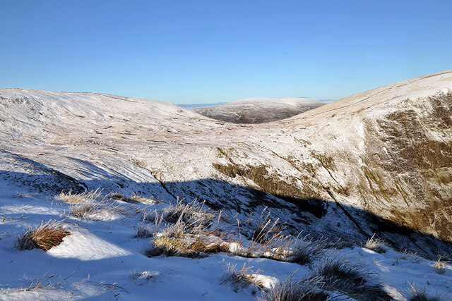
Situated within the picturesque Moorfoot Hills range, Donald's Cleuch Head offers breathtaking panoramic views of the surrounding countryside. Its distinctive conical shape and rugged terrain make it a popular destination for hikers, mountaineers, and nature enthusiasts seeking an adventurous experience.

The hill is predominantly composed of ancient rocks, including sandstones and siltstones, which were formed during the Carboniferous period. These geological formations have resulted in a diverse range of flora and fauna, providing a habitat for various species of birds, mammals, and insects.

The ascent to the summit of Donald's Cleuch Head is challenging but rewarding, as it offers stunning vistas of the surrounding landscape, including rolling hills, verdant valleys, and the meandering River Tweed. On a clear day, it is possible to see as far as the distant peaks of the Southern Uplands and the Pentland Hills.

Access to Donald's Cleuch Head is available via several routes, with the most popular starting from the nearby village of Eddleston. As with any outdoor activity, it is recommended to come prepared with appropriate clothing, footwear, and navigational equipment when venturing into this remote and rugged terrain.

If you have any feedback on the listing, please let us know in the comments section below.

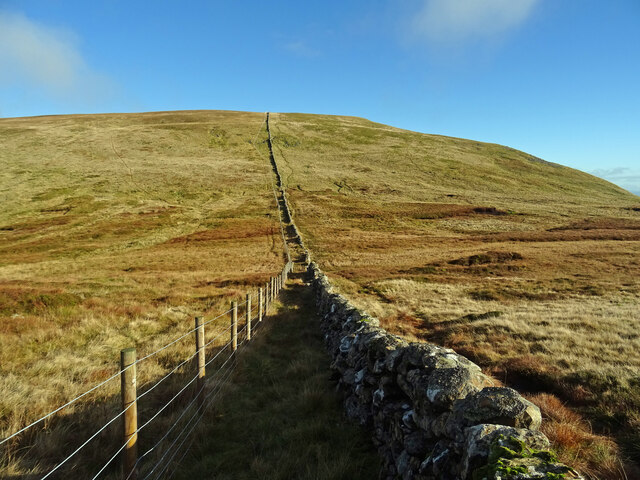
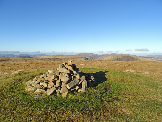
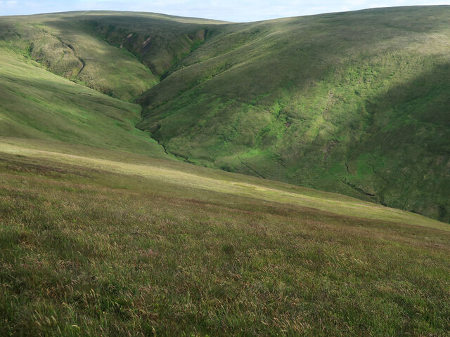
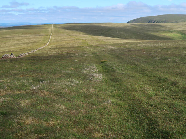
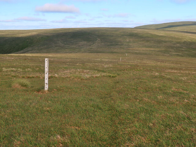
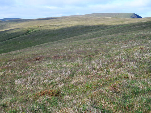
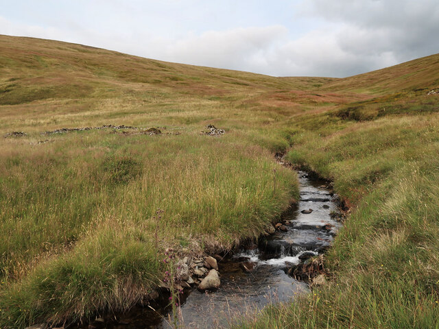
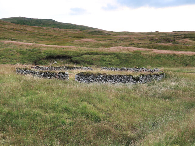
Donald's Cleuch Head Images

Images are sourced within 2km of 55.430491/-3.3389858 or Grid Reference NT1515. Thanks to Geograph Open Source API. All images are credited.

Loch Skeen On the very boggy shore of Loch Skeen looking up to the Donald of Lochcraig Head and the crags of Loch Craig.
Loch Skeen
On the very boggy shore of Loch Skeen looking up to the Donald of Lochcraig Head and the crags of Loch Craig.
Talla Nick On the bealach between Lochcraig Head and Firthybrig Head in the Scottish Borders or rather right on the boundary between the Borders and Dumfries and Galloway. Any moisture falling on the left will end up on the east coast at Berwick on Tweed and any on the right will end up on the west coast at Annan on the Solway Firth.
Talla Nick
On the bealach between Lochcraig Head and Firthybrig Head in the Scottish Borders or rather right on the boundary between the Borders and Dumfries and Galloway. Any moisture falling on the left will end up on the east coast at Berwick on Tweed and any on the right will end up on the west coast at Annan on the Solway Firth.
White Coomb Summit Cairn On the summit of the Corbett and Donald of White Coomb - the 4th highest summit in the southern uplands. The 2nd and 3rd highest - of Broad Law and Cramalt Craig - can be seen above and to the right of the cairn. A glorious autumn day in the Borders Hills.
White Coomb Summit Cairn
On the summit of the Corbett and Donald of White Coomb - the 4th highest summit in the southern uplands. The 2nd and 3rd highest - of Broad Law and Cramalt Craig - can be seen above and to the right of the cairn. A glorious autumn day in the Borders Hills.
Donald's Cleuch Looking down from the slopes of Molls Cleuch Dod.
Donald's Cleuch
Looking down from the slopes of Molls Cleuch Dod.
Drystane dyke and ATV tracks on Molls Cleuch Dod Looking towards Firthybrig Head.
Drystane dyke and ATV tracks on Molls Cleuch Dod
Looking towards Firthybrig Head.
Drystane dyke and fence on Firthhope Rig The fence is a recent addition on the boundary of the Talla and Gameshope area managed by the Border Forest Trust, see <a href="https://www.geograph.org.uk/photo/7209729">NT1420 : Border Forest Trust information board at Talla Water</a>.
Drystane dyke and fence on Firthhope Rig
The fence is a recent addition on the boundary of the Talla and Gameshope area managed by the Border Forest Trust, see NT1420 : Border Forest Trust information board at Talla Water.
Old fence posts on Great Hill
The top of Donald's Cleuch Looking towards Firthybrig Head, Lochcraig Head and Loch Craig.
The top of Donald's Cleuch
Looking towards Firthybrig Head, Lochcraig Head and Loch Craig.
The unnamed small burn in Ether Cleuch And an old, overgrown sheepfold on the right.
The unnamed small burn in Ether Cleuch
And an old, overgrown sheepfold on the right.
Old sheepfold beside the Games Hope Burn Looking towards Din Law.
Old sheepfold beside the Games Hope Burn
Looking towards Din Law.
Walkers on Loch Craig This telephoto shot was taken from Mid Craig on a beautiful January day.
Walkers on Loch Craig
This telephoto shot was taken from Mid Craig on a beautiful January day.
Loch Skene The loch lies in a glaciated hanging valley in the Grey Mare’s Tail Nature Reserve owned by the National Trust for Scotland. Fishing is permitted, but vendace one of Britain’s rarest fresh water fish, must be returned to the loch. Mid Craig is on the left with the steep crags of Loch Craig south of Lochcraig Head on the right.
Loch Skene
The loch lies in a glaciated hanging valley in the Grey Mare’s Tail Nature Reserve owned by the National Trust for Scotland. Fishing is permitted, but vendace one of Britain’s rarest fresh water fish, must be returned to the loch. Mid Craig is on the left with the steep crags of Loch Craig south of Lochcraig Head on the right.
Walking on Mid Craig in early January The small gorge in shadow just left of centre is Midlaw Linn. For a view down Midlaw Linn, see <a href="https://www.geograph.org.uk/photo/686161">NT1616 : Midlaw Linn</a>.
Walking on Mid Craig in early January
The small gorge in shadow just left of centre is Midlaw Linn. For a view down Midlaw Linn, see NT1616 : Midlaw Linn.
A rock outcrop on Mid Craig Lochcraig Head is in the background with Loch Skene below.
A rock outcrop on Mid Craig
Lochcraig Head is in the background with Loch Skene below.
Winter conditions on Mid Craig This is a view from Mid Craig to the col between Firthybrig Head and Lochcraig Head.
Winter conditions on Mid Craig
This is a view from Mid Craig to the col between Firthybrig Head and Lochcraig Head.
Rotten Bottom (bog) Following the dyke/fence to Rotten Bottom and Firthhope Rig.
Rotten Bottom (bog)
Following the dyke/fence to Rotten Bottom and Firthhope Rig.
Heading to White Coomb Leaving the summit of Firthhope Rig and heading to White Coomb.
Heading to White Coomb
Leaving the summit of Firthhope Rig and heading to White Coomb.
Great Hill (summit) The summit of Great Hill.
Great Hill (summit)
The summit of Great Hill.
Show me another place!

Donald's Cleuch Head is located at Grid Ref: NT1515 (Lat: 55.430491, Lng: -3.3389858)

Unitary Authority: The Scottish Borders

Police Authority: The Lothians and Scottish Borders

What 3 Words

///starfish.speedily.timeless. Near Ettrick, Scottish Borders

Related Wikis

White Coomb

White Coomb is a hill in the Moffat Hills range, part of the Southern Uplands of Scotland. Its broad summit is the highest point in the range and the registration...

Loch Skeen

Loch Skeen or Loch Skene is a loch in Dumfries and Galloway in the south of Scotland. It is located about 10 miles to the north-east of Moffat and feeds...

Moffat Hills

The Moffat Hills are a range of hills in the Southern Uplands of Scotland. They form a roughly triangular shape with a west facing side, a north facing...

Grey Mare's Tail, Moffat Hills

Grey Mare's Tail is a 60-metre (200 ft) hanging valley waterfall near to Moffat in southern Scotland. The fall is produced by the Tail Burn flowing from...

Have you been to Donald's Cleuch Head?

Leave your review of Donald's Cleuch Head below (or comments, questions and feedback).