Mallrenheskein

Hill, Mountain in Angus

Scotland

Mallrenheskein

Top of Creag Leacach
Top of Creag Leacach Credit: Steven Brown

Mallrenheskein, Angus, also known as Hill, Mountain, is a prominent geographical feature located in the region of Angus, Scotland. It is situated approximately 10 miles southeast of the town of Forfar and stands at an elevation of 1,209 feet (369 meters) above sea level.

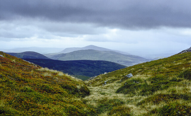
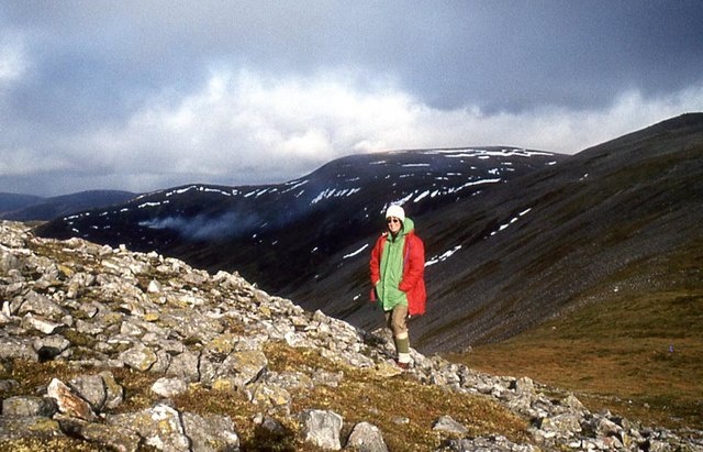
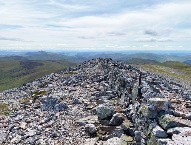
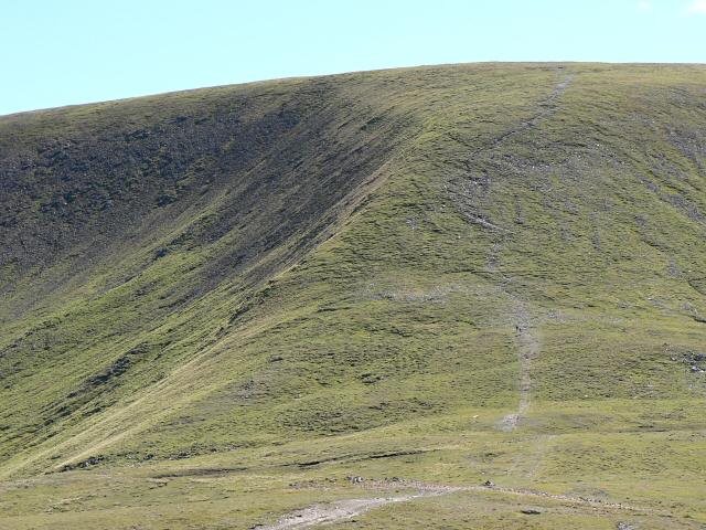
Mallrenheskein is a popular destination for outdoor enthusiasts, hikers, and nature lovers due to its breathtaking views and challenging terrain. The hill offers a variety of walking trails, ranging from gentle slopes to more steep and rugged paths, catering to all levels of fitness and experience. Its diverse landscape includes heather-covered moorlands, rocky outcrops, and dense forests, providing an opportunity to encounter native wildlife such as red deer, mountain hares, and various bird species.

At the summit of Mallrenheskein, visitors are rewarded with panoramic vistas of the surrounding Angus countryside, including the Grampian Mountains to the north and the North Sea to the east. On clear days, it is even possible to spot landmarks such as the prominent peak of Ben Nevis in the distance.

The hill is accessible from various starting points, with ample parking facilities available nearby. It is advised to wear appropriate footwear and clothing, as weather conditions can change rapidly at higher altitudes. Mallrenheskein offers a fantastic outdoor experience for those seeking a combination of natural beauty, physical activity, and a chance to immerse themselves in the stunning Scottish landscape.

If you have any feedback on the listing, please let us know in the comments section below.

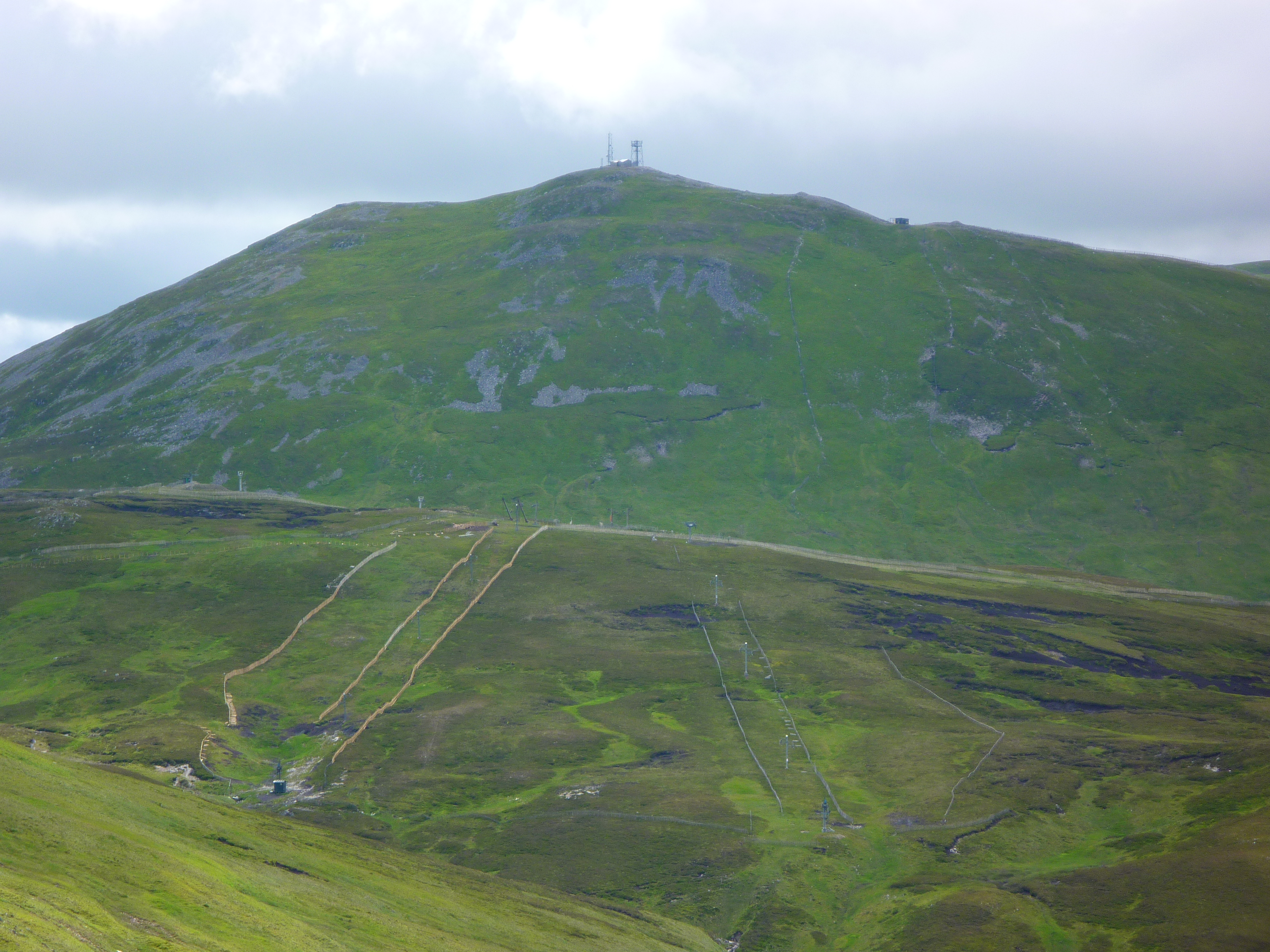
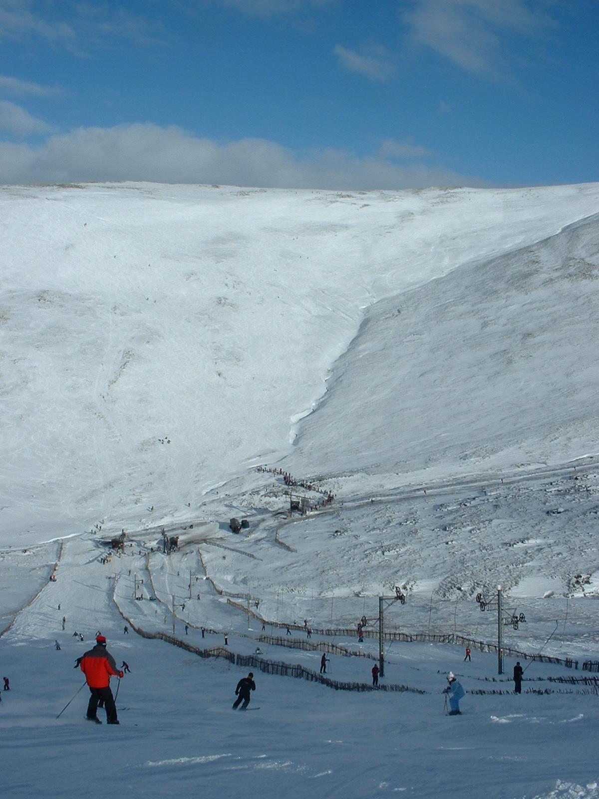
Mallrenheskein Images

Images are sourced within 2km of 56.840162/-3.3888431 or Grid Reference NO1572. Thanks to Geograph Open Source API. All images are credited.

Top of Creag Leacach
Col south-west of summit of Creag Leacach Creag Leacach is a Munro on the eastern side of Gleann Beag. The col is a gap between the mountain's summit which lies to the left out of the image and a lesser top to the right. There's extensive bilberry cover on the ground.
The view beyond the gap is to and past a number of other hills; the prominent central cone is Mount Blair.
Col south-west of summit of Creag Leacach
Creag Leacach is a Munro on the eastern side of Gleann Beag. The col is a gap between the mountain's summit which lies to the left out of the image and a lesser top to the right. There's extensive bilberry cover on the ground. The view beyond the gap is to and past a number of other hills; the prominent central cone is Mount Blair.
Summit Area, Creag Leacach Scree on the upper slopes of Creag Leacach, viewed on an overcast and cold October afternoon.
Summit Area, Creag Leacach
Scree on the upper slopes of Creag Leacach, viewed on an overcast and cold October afternoon.
Slopes of Creag Leacach From the col with Carn Ait.
Slopes of Creag Leacach
From the col with Carn Ait.
On Creag Leacach The old Devil's Elbow down below on the A93.
On Creag Leacach
The old Devil's Elbow down below on the A93.
Creag Leacach Proving that height is not everything when it comes to the mountains, Creag Leacach is nearly a hundred metres shorter than its near neighbours Glas Maol and Carn of Claise, but is by far the most spectacular peak on the circuit.
Creag Leacach
Proving that height is not everything when it comes to the mountains, Creag Leacach is nearly a hundred metres shorter than its near neighbours Glas Maol and Carn of Claise, but is by far the most spectacular peak on the circuit.
On the Creag Leacach ridge
A scatter of boulders on the side of Creag Leacach Looking towards Ben Earb, the hill of the roe deer.
A scatter of boulders on the side of Creag Leacach
Looking towards Ben Earb, the hill of the roe deer.
Old gateway in the pass On the watershed between Shee and Isla.
Old gateway in the pass
On the watershed between Shee and Isla.
Rolling Grampians Watershed boundary fence on Black Hill.
Rolling Grampians
Watershed boundary fence on Black Hill.
Spring sunshine in Glen Brighty The screes on Creag Leacach drop in from the left. The hump of Glas Maol sunlit beyond.
Spring sunshine in Glen Brighty
The screes on Creag Leacach drop in from the left. The hump of Glas Maol sunlit beyond.
Approaching summit of Creag Leacach Stone wall runs up and over the summit of the Munro.
Approaching summit of Creag Leacach
Stone wall runs up and over the summit of the Munro.
Creag Leacach Hill to the south of Glas Maol on the Perthshire/Angus march. It often looks purple and gives a good view when you come over the Cairnwell Pass.
Creag Leacach
Hill to the south of Glas Maol on the Perthshire/Angus march. It often looks purple and gives a good view when you come over the Cairnwell Pass.
Creag Leacach as seen from Glas Maol
The ridge northeast from Creag Leacach Glas Maol is the prominent summit.
The ridge northeast from Creag Leacach
Glas Maol is the prominent summit.
The wall on Creag Leacach Looking from the 987m Munro summit of the hill.
The wall on Creag Leacach
Looking from the 987m Munro summit of the hill.
North east ridge of Creag Leacach Looking to Glas Maol.
North east ridge of Creag Leacach
Looking to Glas Maol.
Caenlochan Forest A view across upper Glen Isla towards Creag Leacach.
Caenlochan Forest
A view across upper Glen Isla towards Creag Leacach.
Show me another place!

Mallrenheskein is located at Grid Ref: NO1572 (Lat: 56.840162, Lng: -3.3888431)

Unitary Authority: Angus

Police Authority: Tayside

What 3 Words

///strange.relishes.civic. Near Inverey, Aberdeenshire

Nearby Locations

Mallrenheskein

Related Wikis

Glas Maol

Glas Maol (Scottish Gaelic: A' Ghlas-Mheall) is a mountain in the Mounth, in the southeastern part of the Highlands of Scotland. The broad, flat summit...

Loch Beanie

Loch Beanie also known as Loch Shechernich, is a small shallow freshwater loch that is located in Glen Shee in Perth and Kinross, Scotland. == Island... ==

The Cairnwell

The Cairnwell (Scottish Gaelic: An Càrn Bhailg) is a mountain in the Eastern Highlands of Scotland, south of Braemar. It is often considered to be one...

Glenshee Ski Centre

Glenshee Ski Centre is an alpine snowsports area in the Scottish Highlands. It is located above the Cairnwell Pass at the head of Glen Shee on either side...

Nearby Amenities

Located within 500m of 56.840162,-3.3888431
Ele: 765
Natural: peak
Lat/Long: 56.8403068/-3.3881364
The data included in this document is from www.openstreetmap.org. The data is made available under ODbL.

Have you been to Mallrenheskein?

Leave your review of Mallrenheskein below (or comments, questions and feedback).