Paul's Hill

Hill, Mountain in Morayshire

Scotland

Paul's Hill

Sìdhean Cùl Grianain, Speyside The Caochan na Sùla Duibhe burn is marked by the line of trees heading off to the right (to the West). Just below the centre horizon it joins another stream before heading off left (Southeast) and eventually joining the River Spey.
Sìdhean Cùl Grianain, Speyside Credit: David G Campbell

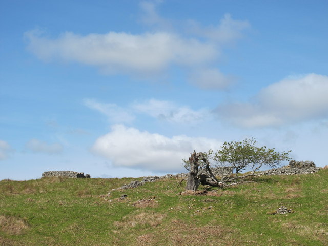
Paul's Hill is a prominent hill located in Morayshire, Scotland. It is known for its stunning views and challenging hiking trails, making it a popular destination for outdoor enthusiasts and nature lovers.

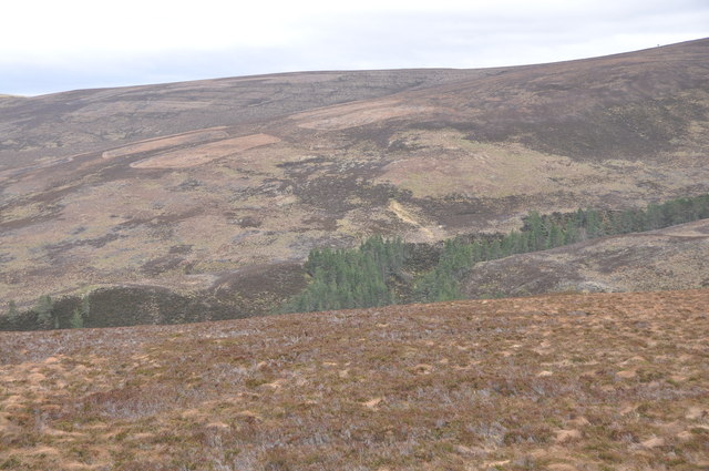
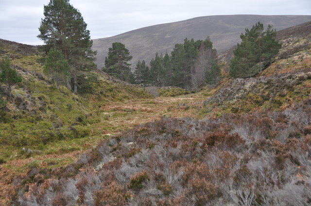
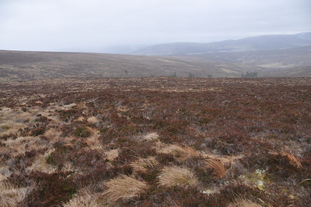
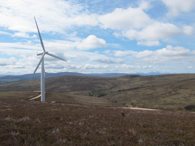
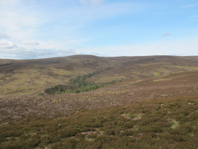
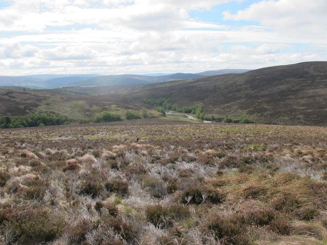
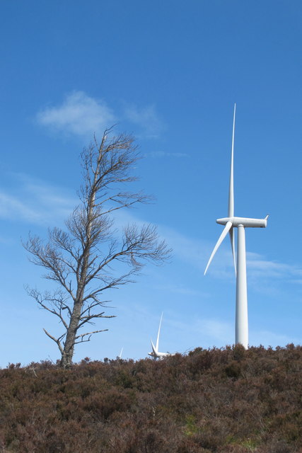
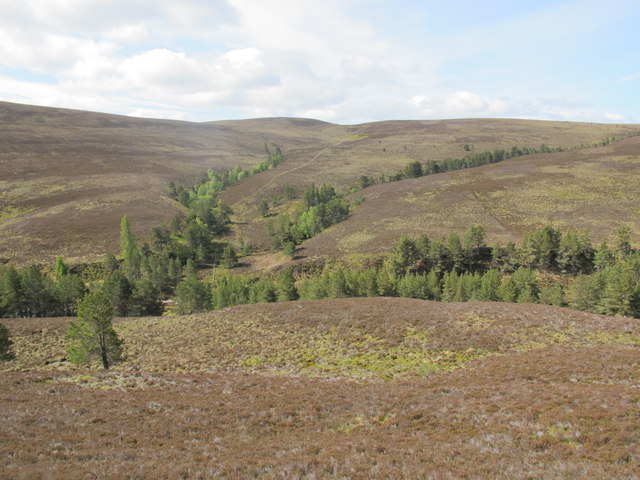
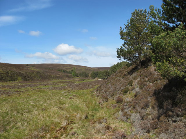
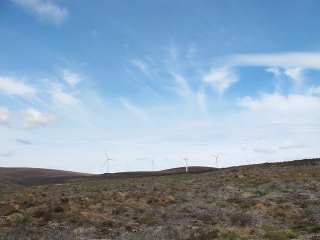
Standing at an elevation of 406 meters (1,332 feet), Paul's Hill offers panoramic views of the surrounding countryside, including the Moray Firth and the rolling hills of the Scottish Highlands. The hill is covered in heather and grasses, providing habitat for a variety of wildlife such as red deer, grouse, and various bird species.

The hike to the summit of Paul's Hill is relatively steep and can be challenging for inexperienced hikers, but the effort is well worth it for the breathtaking views from the top. On a clear day, visitors can see for miles around, taking in the beauty of the Scottish landscape.

In addition to hiking, Paul's Hill is also a popular spot for birdwatching, with many species of birds frequenting the area. The hill is easily accessible by car and has a designated parking area at the base, making it a convenient destination for a day trip or outdoor adventure.

If you have any feedback on the listing, please let us know in the comments section below.
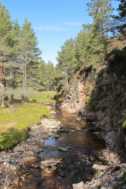
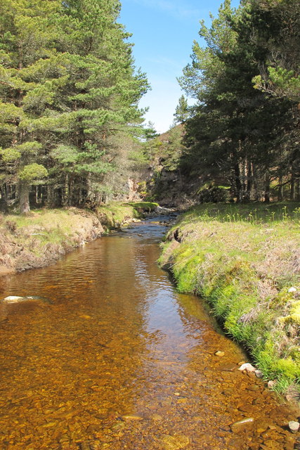
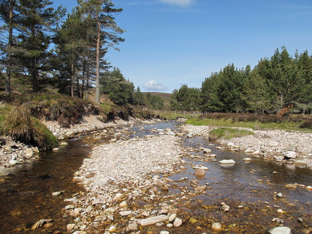
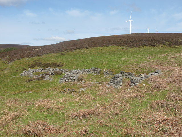
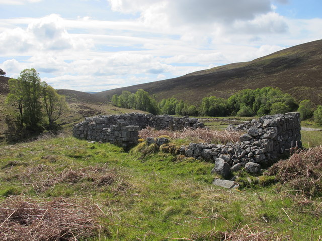
Paul's Hill Images

Images are sourced within 2km of 57.442797/-3.4704071 or Grid Reference NJ1140. Thanks to Geograph Open Source API. All images are credited.

Sìdhean Cùl Grianain, Speyside The Caochan na Sùla Duibhe burn is marked by the line of trees heading off to the right (to the West). Just below the centre horizon it joins another stream before heading off left (Southeast) and eventually joining the River Spey.
Sìdhean Cùl Grianain, Speyside
The Caochan na Sùla Duibhe burn is marked by the line of trees heading off to the right (to the West). Just below the centre horizon it joins another stream before heading off left (Southeast) and eventually joining the River Spey.
Allt a' Mhonaidh, Speyside This small valley is wider at its floor than others in the area and the stream meanders rather than cutting a direct route. The trees associated with the valley are also larger than in the narrower smaller valleys. On a windy day this was a noticeably more sheltered area than the nearby moorland.
Allt a' Mhonaidh, Speyside
This small valley is wider at its floor than others in the area and the stream meanders rather than cutting a direct route. The trees associated with the valley are also larger than in the narrower smaller valleys. On a windy day this was a noticeably more sheltered area than the nearby moorland.
Allt a' Chois, Speyside The valley of the burn runs left to right (due South) and as is common in this area is marked out by a narrow line of trees taking advantage of the shelter. The moorland is a mix of heather and tussocky grass.
Allt a' Chois, Speyside
The valley of the burn runs left to right (due South) and as is common in this area is marked out by a narrow line of trees taking advantage of the shelter. The moorland is a mix of heather and tussocky grass.
Looking South Into Glen Gheallaidh From Paul's Hill.
Looking South Into Glen Gheallaidh
From Paul's Hill.
Carn na h-Eige This 513m hill is prominent in the view South West from Paul's Hill.
Carn na h-Eige
This 513m hill is prominent in the view South West from Paul's Hill.
Glen Gheallaidh From the slopes of Paul's Hill. The river is the Allt a' Gheallaidh.
Glen Gheallaidh
From the slopes of Paul's Hill. The river is the Allt a' Gheallaidh.
The Old and the New There are more wind turbines than trees up on Paul's Hill.
The Old and the New
There are more wind turbines than trees up on Paul's Hill.
Glen Gheallaidh The trees running up the slope directly ahead mark Allt Clachach which runs into Allt a' Gheallaidh.
Glen Gheallaidh
The trees running up the slope directly ahead mark Allt Clachach which runs into Allt a' Gheallaidh.
Allt a' Gheallaidh
Allt a' Gheallaidh
Allt a' Gheallaidh A really nice setting where Allt a' Gheallaidh runs through a patch of trees.
Allt a' Gheallaidh
A really nice setting where Allt a' Gheallaidh runs through a patch of trees.
Allt a' Gheallaidh The Morayshire boundary follows this river up into the hills.
Allt a' Gheallaidh
The Morayshire boundary follows this river up into the hills.
Glen Gheallaidh From near Altvounnie.
Glen Gheallaidh
From near Altvounnie.
Ruins at Altvounnie With wind turbines of Paul's Hill above.
Ruins at Altvounnie
With wind turbines of Paul's Hill above.
Ruins at Altvounnie
Ruins at Altvounnie
Down But Not Out This fallen tree at Altvounnie looks like its had a hard life but still hanging on.
Down But Not Out
This fallen tree at Altvounnie looks like its had a hard life but still hanging on.
Looking Up Allt a' Mhonaidh Wind turbines in view again!
Looking Up Allt a' Mhonaidh
Wind turbines in view again!
Ruins at Altvounnie
Ruins at Altvounnie
Wind Turbines on Paul's Hill
Show me another place!

Paul's Hill is located at Grid Ref: NJ1140 (Lat: 57.442797, Lng: -3.4704071)

Unitary Authority: Moray

Police Authority: North East

What 3 Words

///piles.twice.florists. Near Charlestown of Aberlour, Moray

Nearby Locations

Paul's Hill

Related Wikis

Advie railway station

Advie railway station served the village of Advie, Morayshire, in Scotland. == History == Opened by the Strathspey Railway (GNoSR), it was absorbed by...

Advie

Advie (Scottish Gaelic: Àbhaidh) is a small village in Strathspey, in the Highland Council Area of Scotland. It lies to the south of the River Spey, and...

Cragganmore distillery

Cragganmore distillery is a Scotch whisky distillery situated in the village of Ballindalloch in Banffshire, Scotland. == History == The distillery was...

Ballindalloch railway station

Ballindalloch railway station served the village of Ballindalloch, Banffshire, Scotland from 1863 to 1965 on the Strathspey Railway. == History == The...

Nearby Amenities

Located within 500m of 57.442797,-3.4704071
Generator Method: wind_turbine
Generator Output Electricity: 2.3 MW
Generator Source: wind
Generator Type: horizontal_axis
Power: generator
Lat/Long: 57.4448802/-3.4669161
Generator Method: wind_turbine
Generator Output Electricity: 2.3 MW
Generator Source: wind
Generator Type: horizontal_axis
Power: generator
Lat/Long: 57.4457692/-3.4728813
Generator Method: wind_turbine
Generator Output Electricity: 2.3 MW
Generator Source: wind
Generator Type: horizontal_axis
Power: generator
Lat/Long: 57.4435811/-3.4764862
Generator Method: wind_turbine
Generator Output Electricity: 2.3 MW
Generator Source: wind
Generator Type: horizontal_axis
Power: generator
Lat/Long: 57.4424033/-3.4715724
Generator Method: wind_turbine
Generator Output Electricity: 2.3 MW
Generator Source: wind
Generator Type: horizontal_axis
Power: generator
Lat/Long: 57.4420223/-3.4661222
Generator Method: wind_turbine
Generator Output Electricity: 2.3 MW
Generator Source: wind
Generator Type: horizontal_axis
Power: generator
Lat/Long: 57.4401443/-3.4747884
Generator Method: wind_turbine
Generator Output Electricity: 2.3 MW
Generator Source: wind
Generator Type: horizontal_axis
Power: generator
Lat/Long: 57.4397878/-3.4694803
The data included in this document is from www.openstreetmap.org. The data is made available under ODbL.

Have you been to Paul's Hill?

Leave your review of Paul's Hill below (or comments, questions and feedback).