Twyn y Fidffawydd
Hill, Mountain in Glamorgan
Wales
Twyn y Fidffawydd

Twyn y Fidffawydd is a prominent hill located in Glamorgan, Wales. It is part of the Brecon Beacons National Park and offers stunning views of the surrounding countryside. With an elevation of 422 meters (1,385 feet), it is a popular destination for hikers, nature enthusiasts, and outdoor adventurers.
The hill is characterized by its distinct shape, with a gentle slope on one side and a steeper incline on the other. It is covered in a patchwork of green fields, heather, and gorse, adding to its natural beauty. From the summit, visitors can enjoy panoramic vistas of the rolling hills, valleys, and distant mountains.
The area around Twyn y Fidffawydd is rich in history and has evidence of ancient settlements and burial sites. It is believed that the hill was once a prominent landmark for local communities and may have served as a meeting point or a place of religious significance.
Access to Twyn y Fidffawydd is relatively easy, with several footpaths and trails leading to the top. The most popular route starts from the nearby village of Llanfihangel Crucorney and takes approximately two to three hours to complete. Along the way, hikers can enjoy the diverse flora and fauna, including wildflowers and various bird species.
Whether you are looking for a challenging hike, breathtaking views, or a peaceful escape into nature, Twyn y Fidffawydd is a must-visit destination in Glamorgan.
If you have any feedback on the listing, please let us know in the comments section below.
Twyn y Fidffawydd Images
Images are sourced within 2km of 51.713368/-3.2774671 or Grid Reference SO1102. Thanks to Geograph Open Source API. All images are credited.


Twyn y Fidffawydd is located at Grid Ref: SO1102 (Lat: 51.713368, Lng: -3.2774671)
Unitary Authority: Caerphilly
Police Authority: Gwent
What 3 Words
///ruffling.rely.forest. Near Deri, Caerphilly
Nearby Locations
Related Wikis

Ogilvie Village Halt railway station
Ogilvie Village Halt railway station served the village of Deri, Caerphilly, Wales on the Brecon and Merthyr Tydfil Junction Railway. The site of the halt...

Darran Valley
Darran Valley (Welsh: Cwm Darran) is a community in the County Borough of Caerphilly, Wales. The Darran Valley consists of the valley of the Bargod Rhymni...

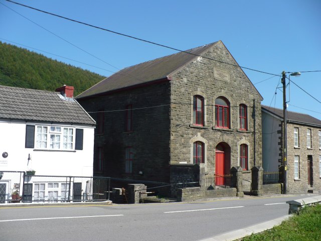
Deri, Caerphilly
Deri is a village in Caerphilly County Borough, Wales. 'Deri' is Welsh for oak trees. Deri along with Pentwyn and Fochriw make up the community of Darran...
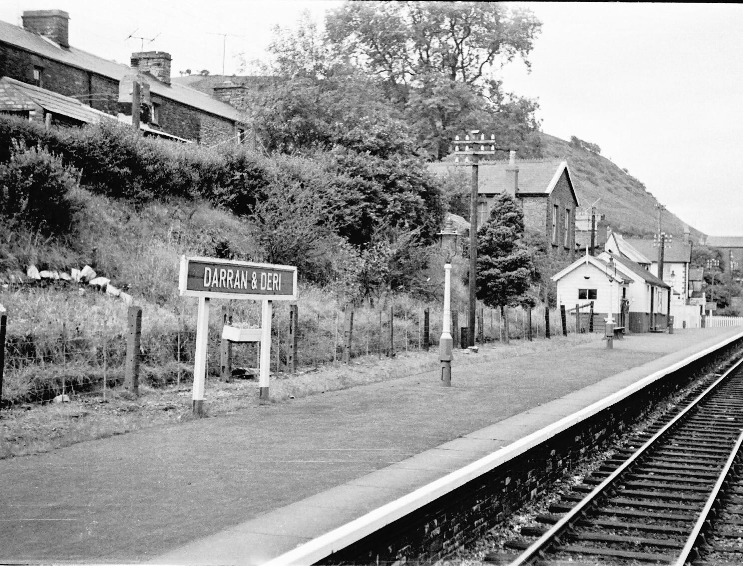
Darran and Deri railway station
Darran and Deri railway station was situated on the Brecon and Merthyr Junction Railway, serving the adjoining village of Deri and the nearby Darran Colliery...
Cefn y Brithdir
Cefn y Brithdir is the name given to the broad ridge of high ground between the Rhymney Valley (Welsh: Cwm Rhymni) and Cwm Darran in the Valleys region...
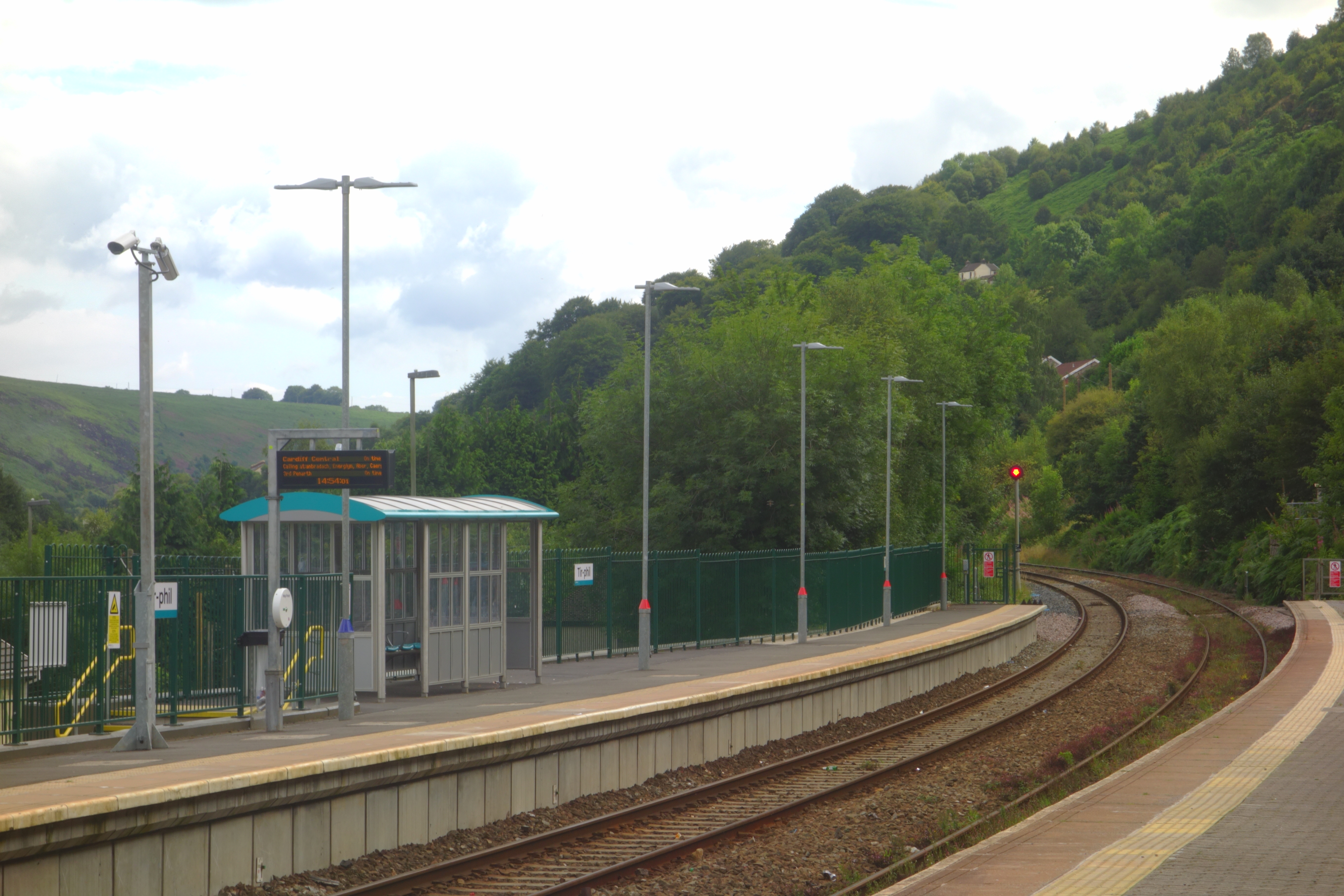
Tir-Phil
Tir-Phil is a village near the town of New Tredegar in the Caerphilly county borough of south Wales. The village of Tir-Phil and New Tredegar itself are...
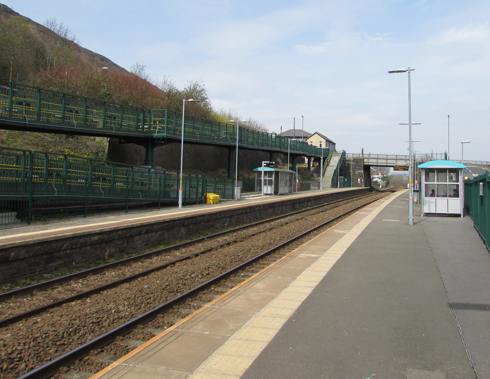
Tir-Phil railway station
Tir-Phil railway station is a railway station serving the village of Tir-Phil and the town of New Tredegar, south Wales. It is a stop on the Rhymney Line...
Troedyrhifuwch Halt railway station
Troedyrhifuwch Halt railway station co-served the village of Tir-Phil, in the historic county of Glamorgan, Wales, from 1908 to 1916 on the Rhymney Railway...
Nearby Amenities
Located within 500m of 51.713368,-3.2774671Have you been to Twyn y Fidffawydd?
Leave your review of Twyn y Fidffawydd below (or comments, questions and feedback).