Edge Hill
Hill, Mountain in Dumfriesshire
Scotland
Edge Hill
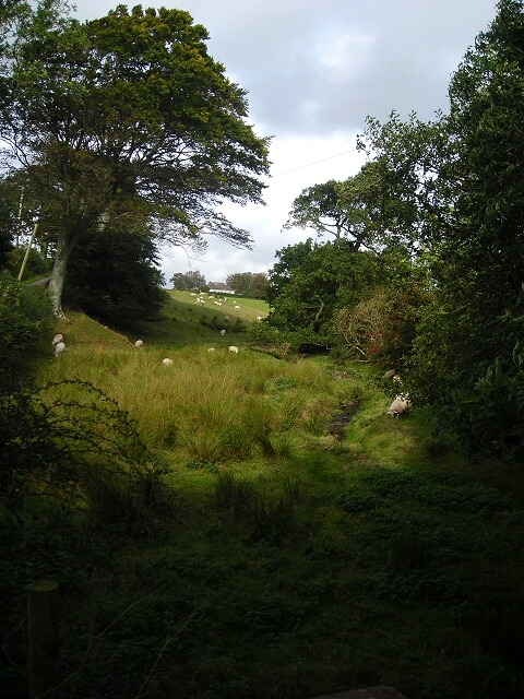
Edge Hill is a prominent hill situated in Dumfriesshire, a historic county in the southern part of Scotland. It is located near the village of Moffat, approximately 40 miles north of the town of Dumfries. Rising to an elevation of 571 meters (1,873 feet), it stands as one of the highest peaks in the area, offering breathtaking panoramic views of the surrounding countryside.
The hill is part of the Southern Uplands, a range of rolling hills and low mountains that stretch across southern Scotland. Although not particularly challenging for experienced hikers, Edge Hill provides a pleasant and moderately difficult climb for outdoor enthusiasts of all levels. The ascent to the summit is rewarded with stunning vistas of the Moffat Valley, the Moffat Hills, and the Moffat Water, a river that winds its way through the valley below.
Edge Hill is a popular destination for walkers, hikers, and nature lovers, who are drawn to its natural beauty and peaceful atmosphere. The hill is covered in heather and grass, providing a habitat for various wildlife, including birds of prey such as buzzards and kestrels, as well as sheep and wild deer.
The summit of Edge Hill is easily accessible via well-marked trails and footpaths, making it an ideal location for a day trip or a longer hike. Visitors often take advantage of the nearby amenities in Moffat, including accommodation, restaurants, and visitor centers, which provide information about the local history, geology, and ecology of the area.
Overall, Edge Hill offers a captivating outdoor experience, combining the joys of hiking with breathtaking scenery, making it a must-visit destination for nature enthusiasts and those seeking tranquility in the Dumfriesshire region.
If you have any feedback on the listing, please let us know in the comments section below.
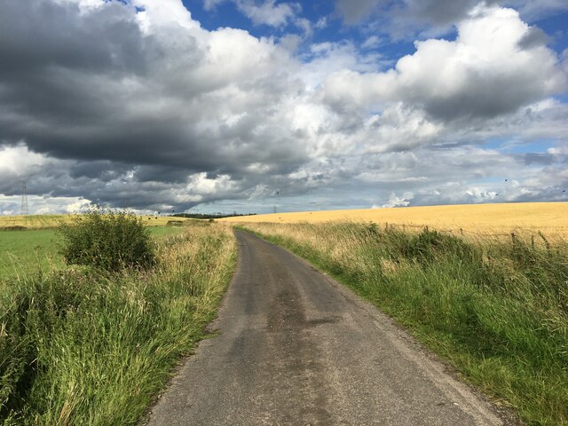
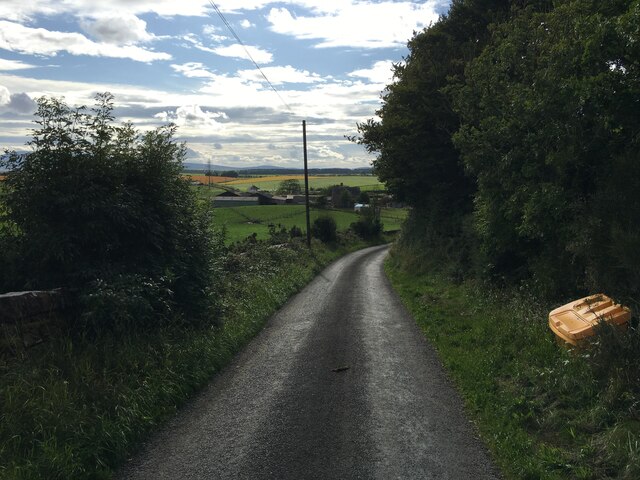
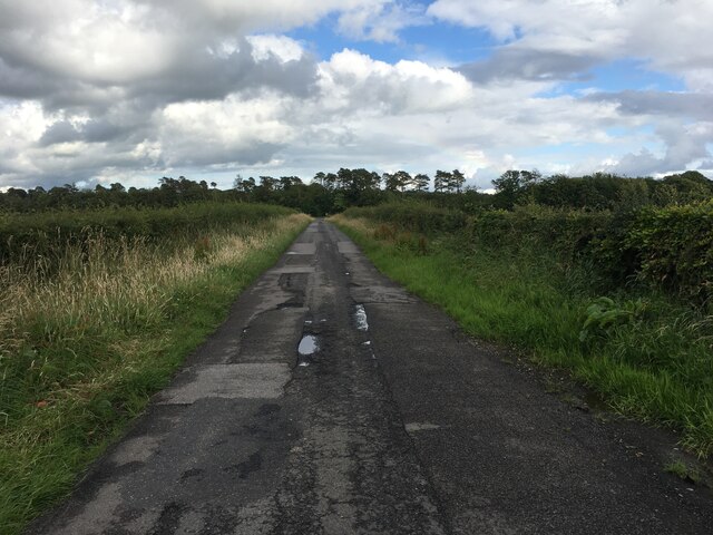
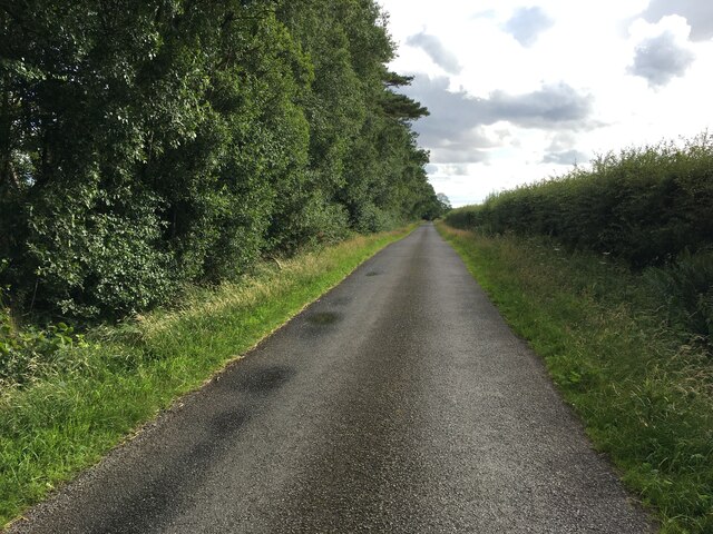
Edge Hill Images
Images are sourced within 2km of 55.017328/-3.384064 or Grid Reference NY1170. Thanks to Geograph Open Source API. All images are credited.


![Germander Speedwell at the road side A common speedwell [Veronica chamaedrys], recognisable by the two lines of hairs on the opposite sides of the stem.](https://s3.geograph.org.uk/geophotos/01/91/12/1911203_ac21fc0c.jpg)

Edge Hill is located at Grid Ref: NY1170 (Lat: 55.017328, Lng: -3.384064)
Unitary Authority: Dumfries and Galloway
Police Authority: Dumfries and Galloway
What 3 Words
///overruns.additives.arise. Near Annan, Dumfries & Galloway
Nearby Locations
Related Wikis

Carrutherstown
Carrutherstown is a village in the civil parish of Dalton, in Dumfries and Galloway, Scotland. It is about 9 miles (14 km) east of Dumfries. == Demographics... ==

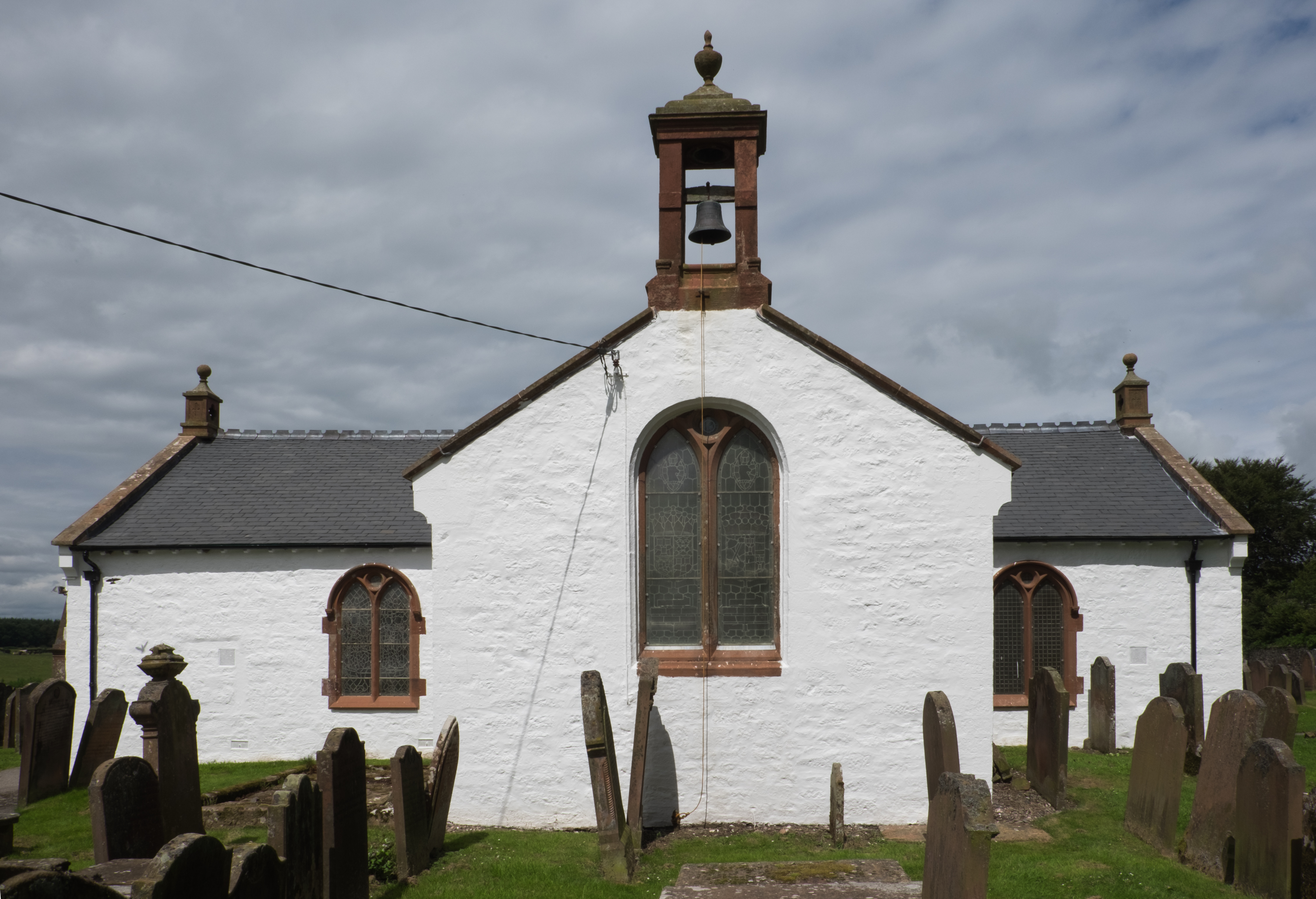
Ruthwell Cross
The Ruthwell Cross is a stone Anglo-Saxon cross probably dating from the 8th century, when the village of Ruthwell, now in Scotland, was part of the Anglo...

Ruthwell railway station
Ruthwell railway station was a railway station in Dumfries and Galloway south of Dumfries, serving the village of Ruthwell with its famous 8th century...
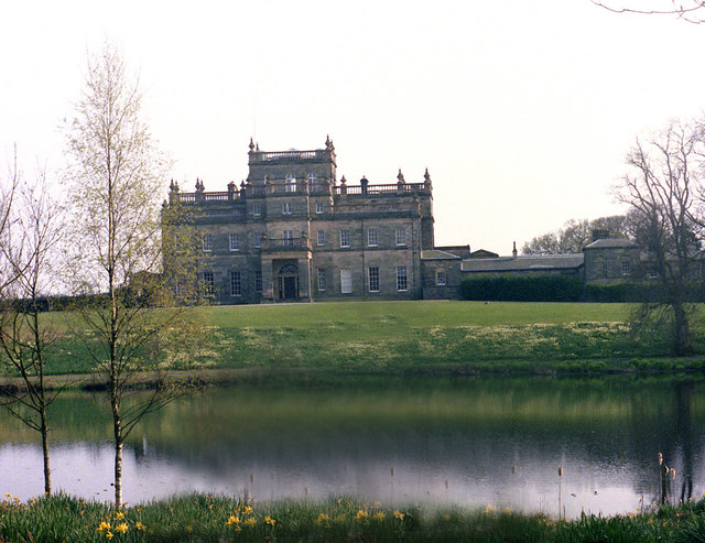
Kinmount House
Kinmount House is a 19th-century country house in the parish of Cummertrees in the historic county of Dumfriesshire in Dumfries and Galloway region, Scotland...

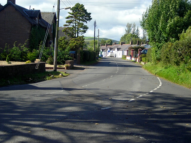
Clarencefield
Clarencefield is a small village in Ruthwell Parish between Dumfries and Annan in Dumfries and Galloway, Scotland. It was once served by Ruthwell railway...
Ruthwell
Ruthwell is a village and parish on the Solway Firth between Dumfries and Annan in Dumfries and Galloway, Scotland. Thomas Randolph, Earl of Moray, gave...

Comlongon Castle
Comlongon Castle is a tower house dating from the later 15th century or early 16th century. It is located 1 kilometre (0.62 mi) west of the village of...
Dalton, Dumfries and Galloway
The village of Dalton is a small settlement about 10 miles (16 km) southeast of Dumfries and 4 miles (6.4 km) south of Lockerbie, in Dumfries and Galloway...
Nearby Amenities
Located within 500m of 55.017328,-3.384064Have you been to Edge Hill?
Leave your review of Edge Hill below (or comments, questions and feedback).