Banna Fell
Hill, Mountain in Cumberland Copeland
England
Banna Fell
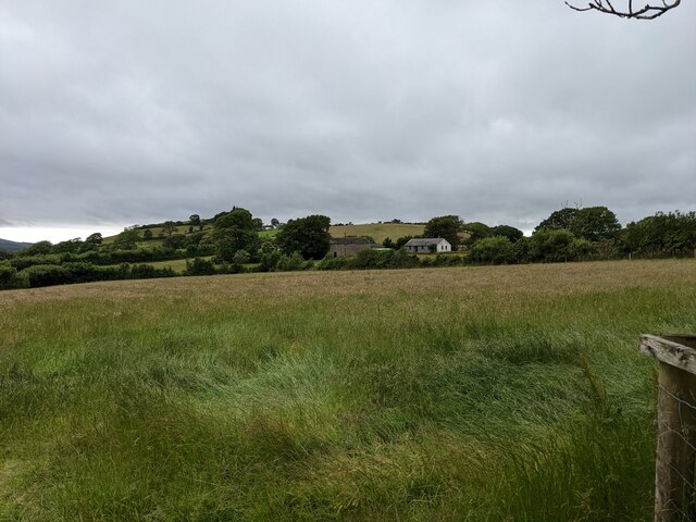
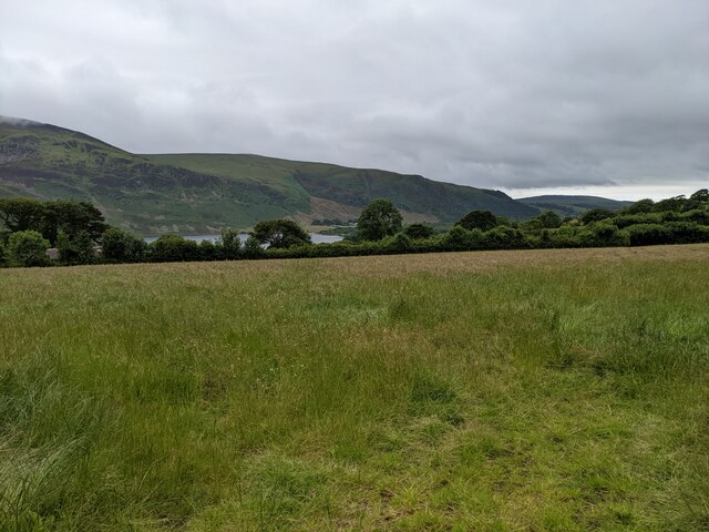
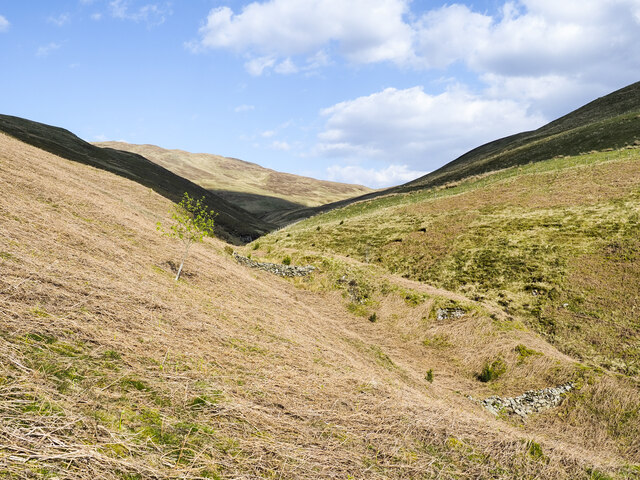
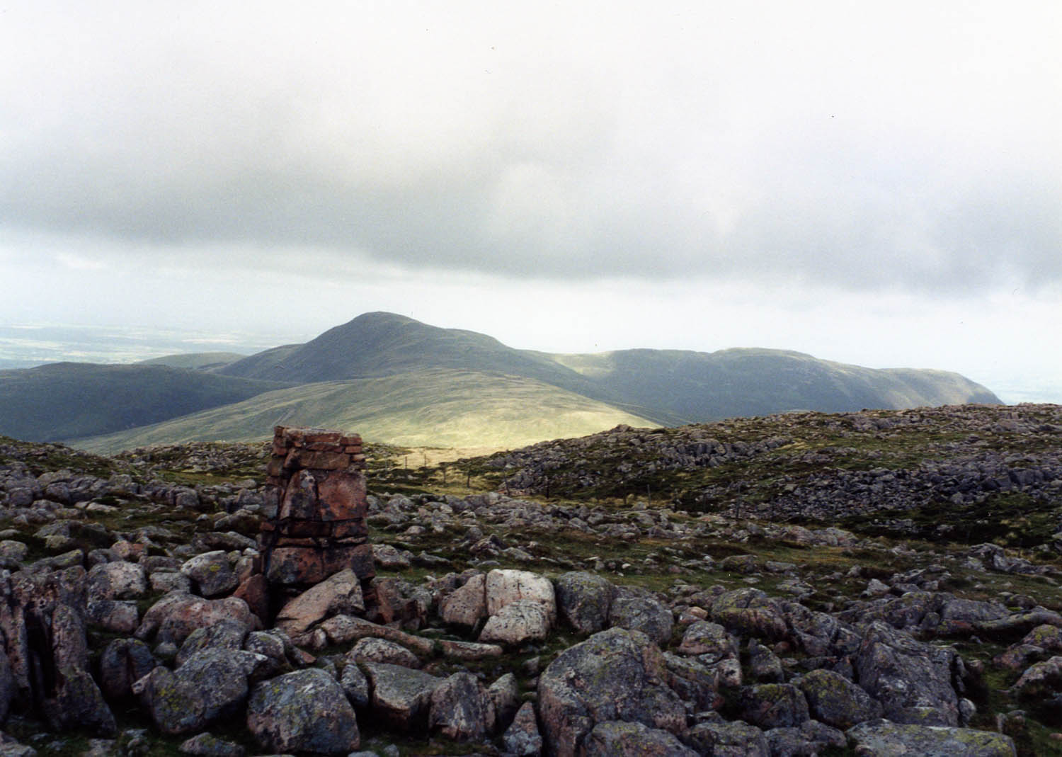
Banna Fell is a prominent hill located in the county of Cumberland, England. Situated in the western part of the Lake District National Park, it stands at an elevation of approximately 2,330 feet (710 meters) above sea level. Although not classified as a mountain due to its lower height, Banna Fell offers stunning views and is a popular destination for hikers and outdoor enthusiasts.
The hill is characterized by its distinctive conical shape and is composed mainly of volcanic rock, a remnant of the region's geological history. Its slopes are covered with a variety of vegetation, including heather, grasses, and scattered trees, providing a picturesque landscape.
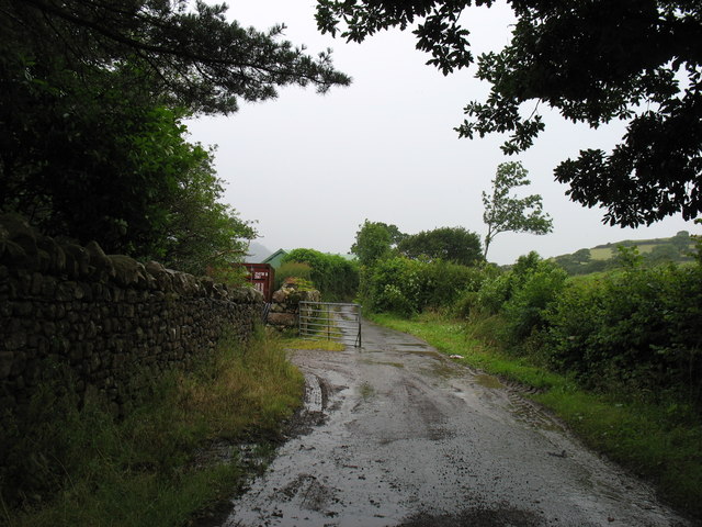
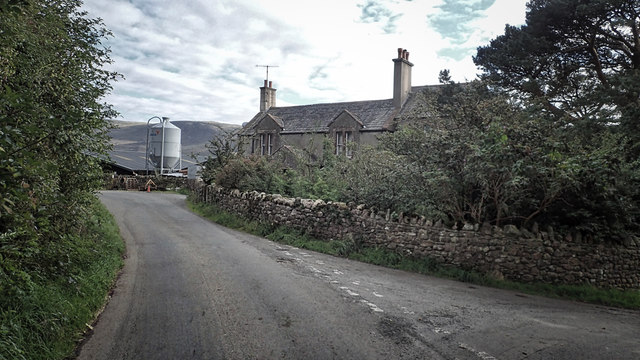
Reaching the summit of Banna Fell requires a moderate to challenging hike, with several well-marked trails guiding climbers up the hill. The ascent offers breathtaking panoramic views of the surrounding countryside, including nearby lakes and fells such as Ennerdale Water and Great Borne. On a clear day, it is even possible to see the Irish Sea in the distance.
Banna Fell is also known for its rich wildlife, with several species of birds, mammals, and insects calling the area their home. Visitors may spot native birds like buzzards, ravens, and curlews, as well as occasional sightings of red deer and wild ponies.
Overall, Banna Fell provides a fantastic opportunity to experience the natural beauty and tranquility of the Lake District, making it a must-visit for nature lovers and those seeking outdoor adventure.
If you have any feedback on the listing, please let us know in the comments section below.
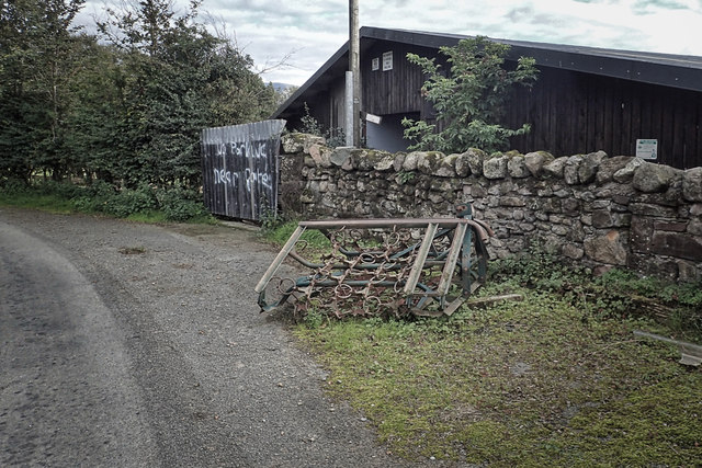
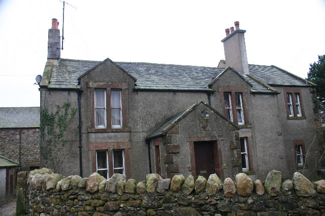
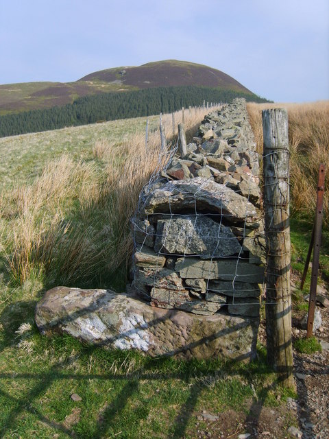
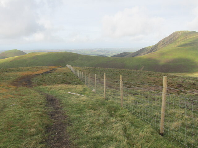
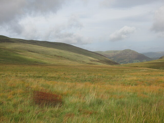
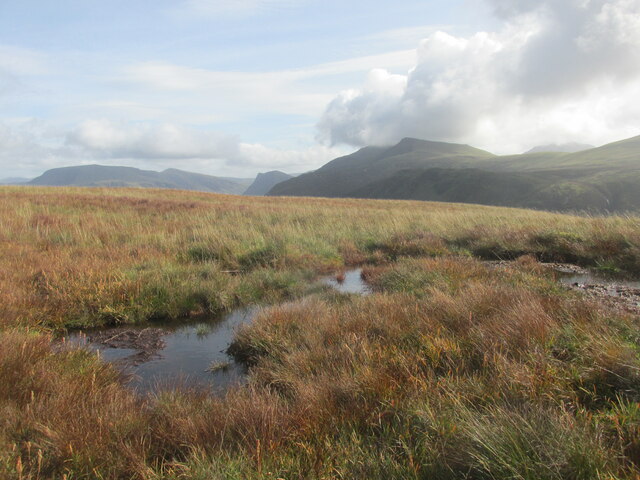
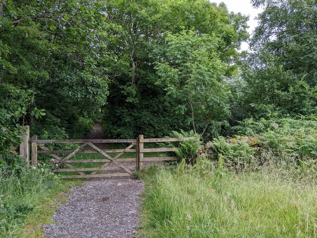
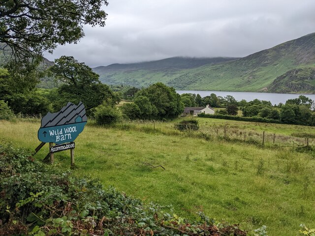
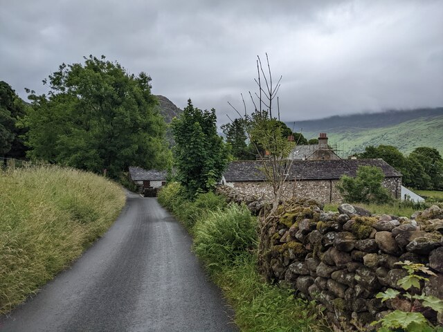
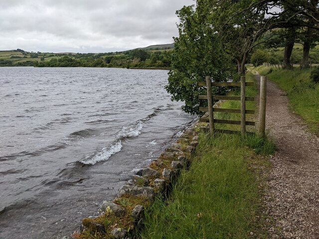
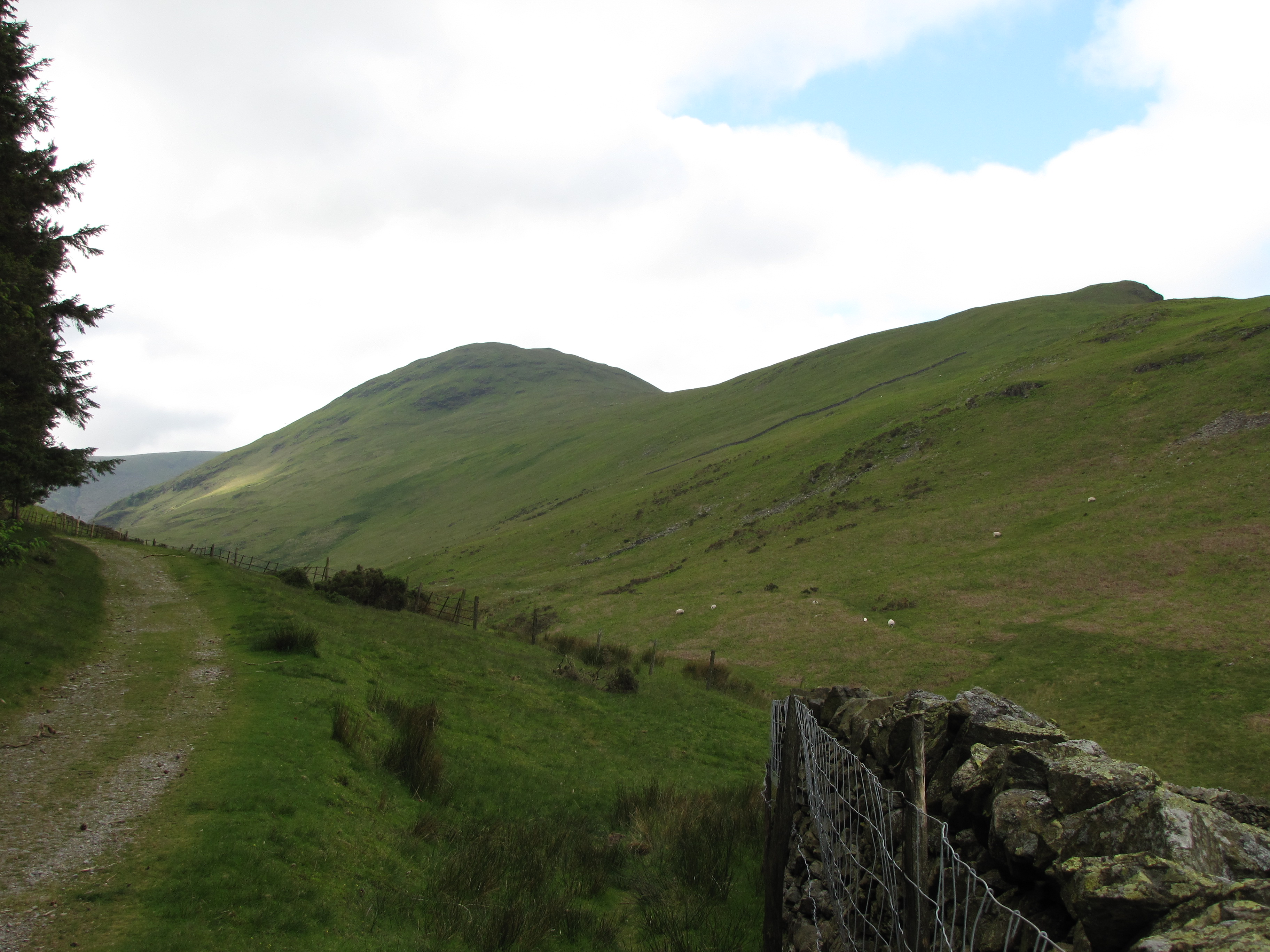
Banna Fell Images
Images are sourced within 2km of 54.544137/-3.3680264 or Grid Reference NY1117. Thanks to Geograph Open Source API. All images are credited.

Banna Fell is located at Grid Ref: NY1117 (Lat: 54.544137, Lng: -3.3680264)
Administrative County: Cumbria
District: Copeland
Police Authority: Cumbria
What 3 Words
///exactly.embellish.flushed. Near Frizington, Cumbria
Nearby Locations
Related Wikis
Gavel Fell
Gavel Fell is a hill in the English Lake District. Centremost of the five Loweswater Fells in the western part of the District, it stands between Hen Comb...

Great Borne
Great Borne is a fell in the English Lake District with a height of 616 m (2,021 ft). It is a rather secluded hill situated at the western end of the long...
Hen Comb
Hen Comb is a fell in the west of the English Lake District. One of the Loweswater Fells it lies to the south of Loweswater lake and Loweswater village...

Buttermere and Ennerdale
Buttermere and Ennerdale is a National Trust property located in the Lake District of Cumbria, England. The property comprises an area of 8,866 acres...

Blake Fell
Blake Fell is a hill in the Western part of the English Lake District. It is the highest point of the Loweswater Fells, an area of low grassy hills with...

Knock Murton
Knock Murton or Murton Fell is a hill of 464.4 metres (1,524 ft) in the north west of the Lake District, England. It lies in the Borough of Copeland in...
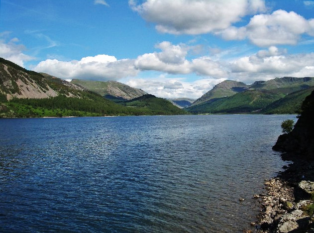
Ennerdale Water
Ennerdale Water is the most westerly lake in the Lake District National Park in Cumbria, England. It is a glacial lake, with a maximum depth of 150 feet...

Cogra Moss
Cogra Moss is a shallow reservoir to the east of the village of Lamplugh on the western edge of the English Lake District. It was created by the damming...
Nearby Amenities
Located within 500m of 54.544137,-3.3680264Have you been to Banna Fell?
Leave your review of Banna Fell below (or comments, questions and feedback).