West Dron Hill
Hill, Mountain in Perthshire
Scotland
West Dron Hill
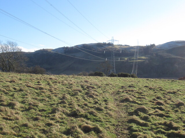
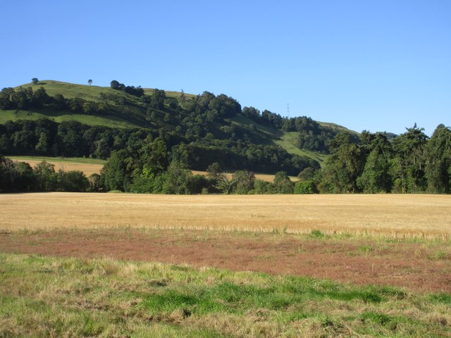
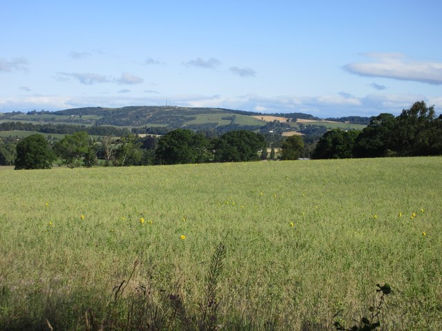
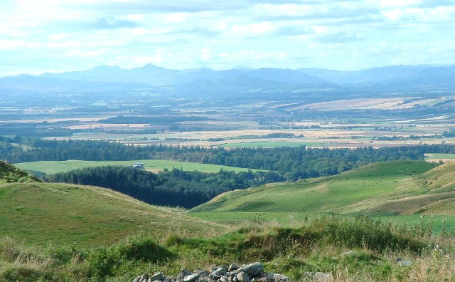
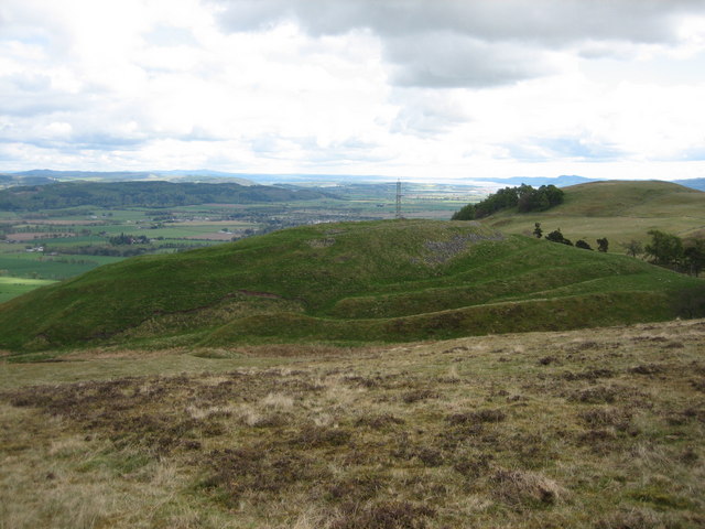
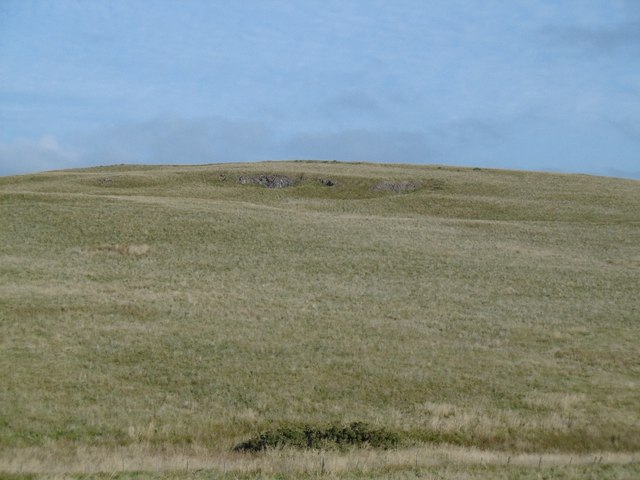
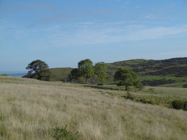
West Dron Hill is a prominent hill located in the region of Perthshire, Scotland. It is part of the larger Dron Hill range, which is situated in the southern part of the county. With an elevation of around 401 meters (1,315 feet), West Dron Hill offers breathtaking panoramic views of the surrounding landscapes.
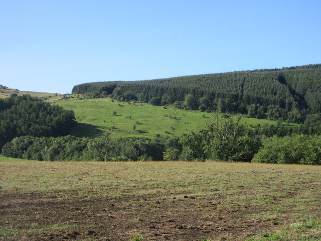
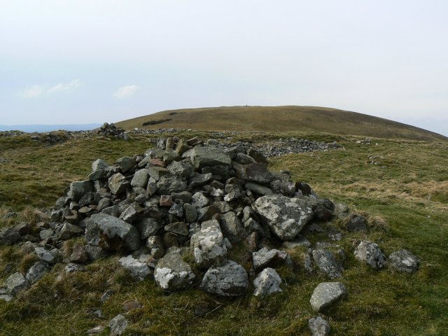
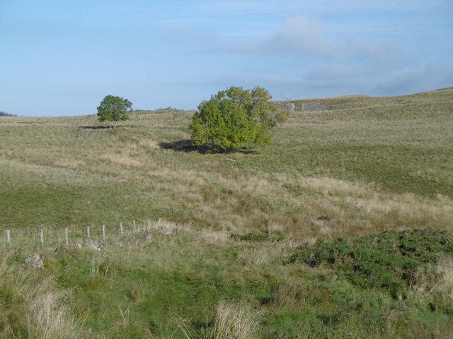
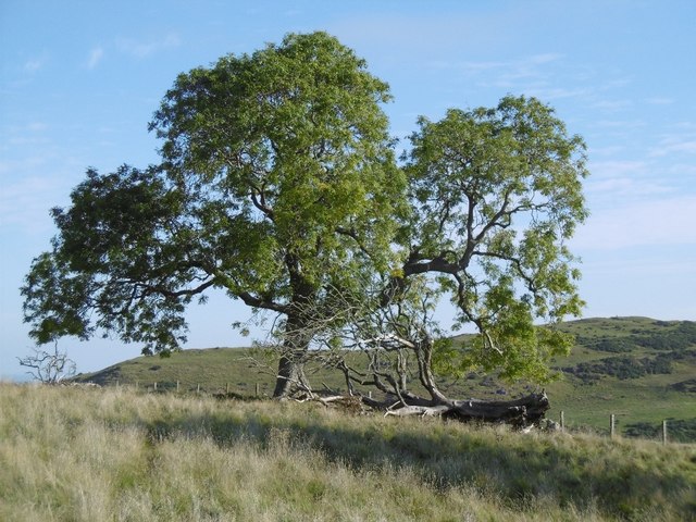
The hill is characterized by its rounded shape and its lush green vegetation, which is dominated by heather and grasses. Its slopes are relatively gentle, making it a popular destination for hikers and nature enthusiasts. The ascent to the summit is moderate, providing a pleasant and accessible outdoor experience.
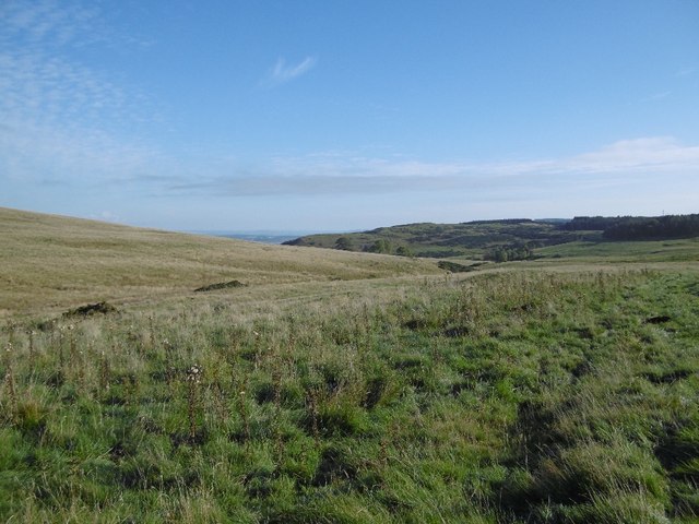
At the top of West Dron Hill, visitors can enjoy magnificent vistas of the Perthshire countryside, including the picturesque Strathmore Valley. On clear days, the view extends to the distant peaks of the Grampian Mountains, adding to the allure of the location.
West Dron Hill is also known for its rich wildlife. It is home to a variety of bird species, including buzzards and kestrels, which can often be seen soaring above the hill. Additionally, the surrounding moorland supports a diverse range of flora and fauna, with occasional sightings of deer and other small mammals.
Given its proximity to nearby towns and villages, West Dron Hill is easily accessible by both car and public transportation. Its tranquil setting and stunning views make it a popular destination for outdoor enthusiasts, providing an opportunity to connect with nature and experience the beauty of Perthshire's countryside.
If you have any feedback on the listing, please let us know in the comments section below.
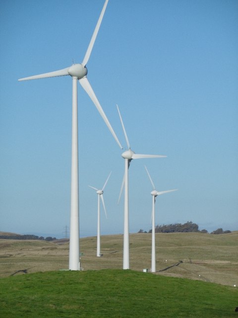
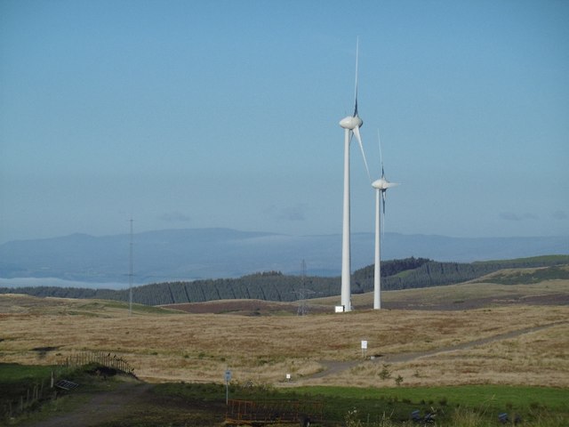
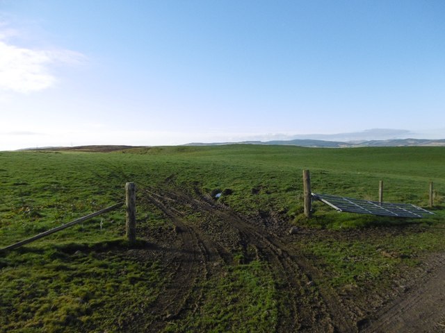
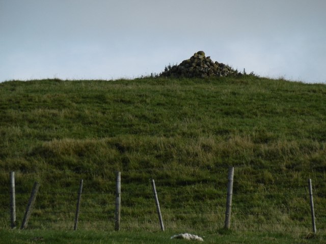
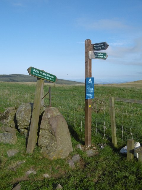
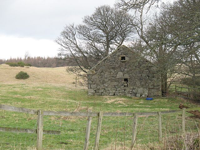
West Dron Hill Images
Images are sourced within 2km of 56.319076/-3.4313862 or Grid Reference NO1114. Thanks to Geograph Open Source API. All images are credited.
West Dron Hill is located at Grid Ref: NO1114 (Lat: 56.319076, Lng: -3.4313862)
Unitary Authority: Perth and Kinross
Police Authority: Tayside
What 3 Words
///interest.spring.shifts. Near Bridge of Earn, Perth & Kinross
Nearby Locations
Related Wikis

Kilgraston School
Kilgraston School is a Scottish private boarding and day school offering primary school education for boys and girls aged from five to twelve years old...

Pitkeathly Wells
Pitkeathly Wells (spelling variants: Pitcaithly, Pitceathly, Pitkethley, etc.) is a hamlet in the Perth and Kinross area of Scotland, famed for its mineral...
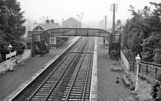
Bridge of Earn railway station
Bridge of Earn railway station served the town of Bridge of Earn, Perthshire, Scotland from 1848 to 1965 on the Edinburgh and Northern Railway. == History... ==

Bridge of Earn Hospital
The Bridge of Earn Hospital was a health facility in Bridge of Earn, Perth and Kinross, Scotland. == History == The facility was designed as one of seven...
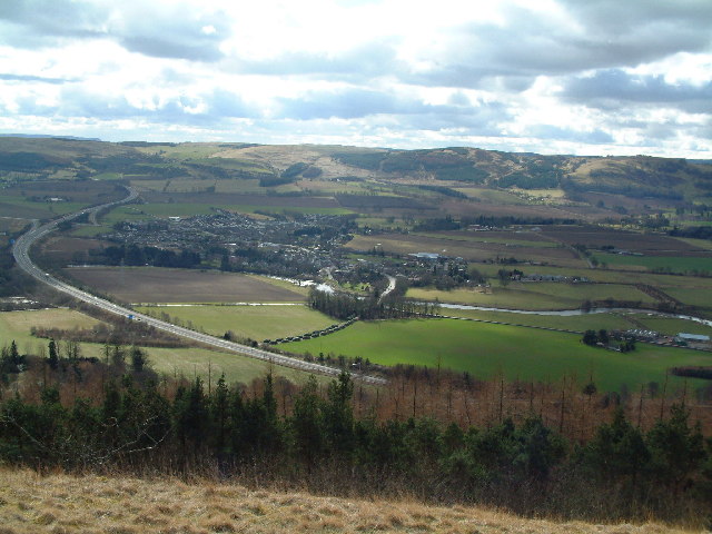
Bridge of Earn
Bridge of Earn (Scottish Gaelic: Drochaid Èireann) is a small town in Perthshire, Scotland. Often referred to simply as 'The Brig' (Scots for 'bridge'...

Strathallan School
Strathallan School is a private boarding and day school in Scotland for boys and girls aged 5-18. The school has a 153-acre (62-hectare) campus at Forgandenny...
Abbots Deuglie
Abbots Deuglie () is a hamlet in Perth and Kinross, Scotland. It is located in the Ochil Hills, in Arngask parish, about one mile (1.5 km) west of Glenfarg...

Forgandenny
Forgandenny (Scottish Gaelic Forgrann Eithne, 'Over-Bog of Eithne' [an ancient female Gaelic name]) is a small village in Perth and Kinross, Scotland,...
Nearby Amenities
Located within 500m of 56.319076,-3.4313862Have you been to West Dron Hill?
Leave your review of West Dron Hill below (or comments, questions and feedback).