Sgòr Mòr

Hill, Mountain in Aberdeenshire

Scotland

Sgòr Mòr

Baddoch Burn Track
Baddoch Burn Track Credit: Robert Struthers

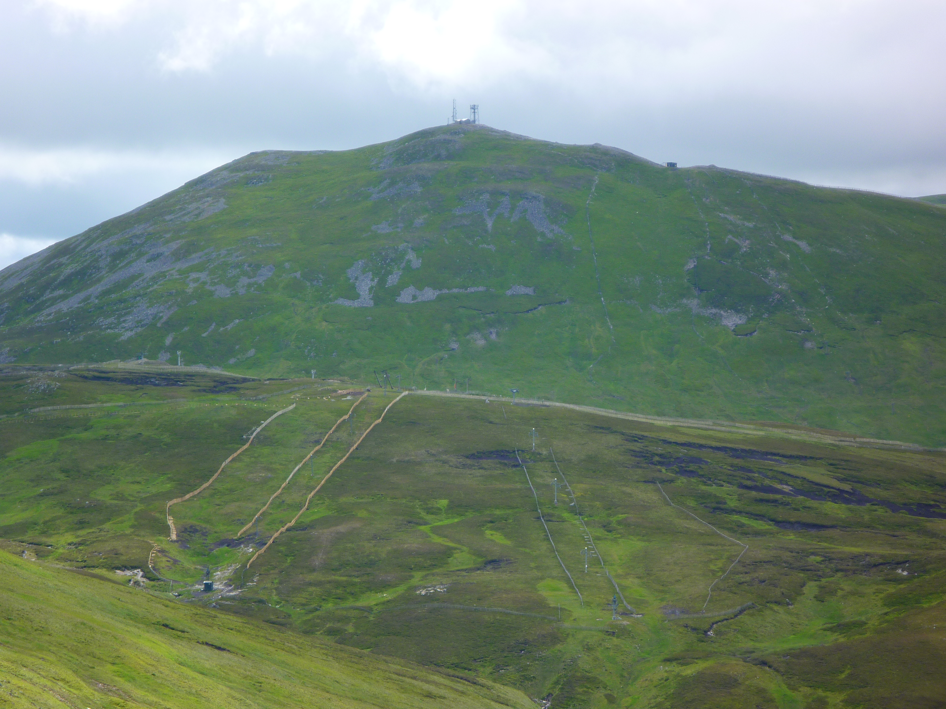
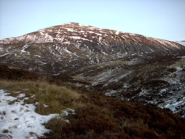
Sgòr Mòr is a prominent hill located in Aberdeenshire, Scotland. It is situated in the Cairngorms National Park, approximately 6 kilometers southwest of the town of Braemar. With an elevation of 813 meters (2,667 feet), it is classified as a Corbett, which is a Scottish hill between 2,500 and 3,000 feet high.

The hill's name, Sgòr Mòr, translates to "big peak" in Gaelic, accurately reflecting its imposing stature in the surrounding landscape. It is a popular destination for hillwalkers and outdoor enthusiasts, offering stunning panoramic views of the surrounding Cairngorms and the nearby River Dee.

Sgòr Mòr is primarily composed of granite and features a gently sloping terrain, making it relatively accessible for walkers of various levels of experience. The ascent to the summit is typically approached from the south, following a well-defined path that winds its way up the hillside.

Once at the top, visitors are rewarded with breathtaking views of the surrounding mountains, including Lochnagar and the famous Braeriach. On clear days, it is even possible to catch a glimpse of the distant Cairngorm plateau.

While Sgòr Mòr may not be the highest peak in the Cairngorms, its accessibility and stunning vistas make it a popular choice for those seeking to explore the beauty of the Scottish Highlands.

If you have any feedback on the listing, please let us know in the comments section below.
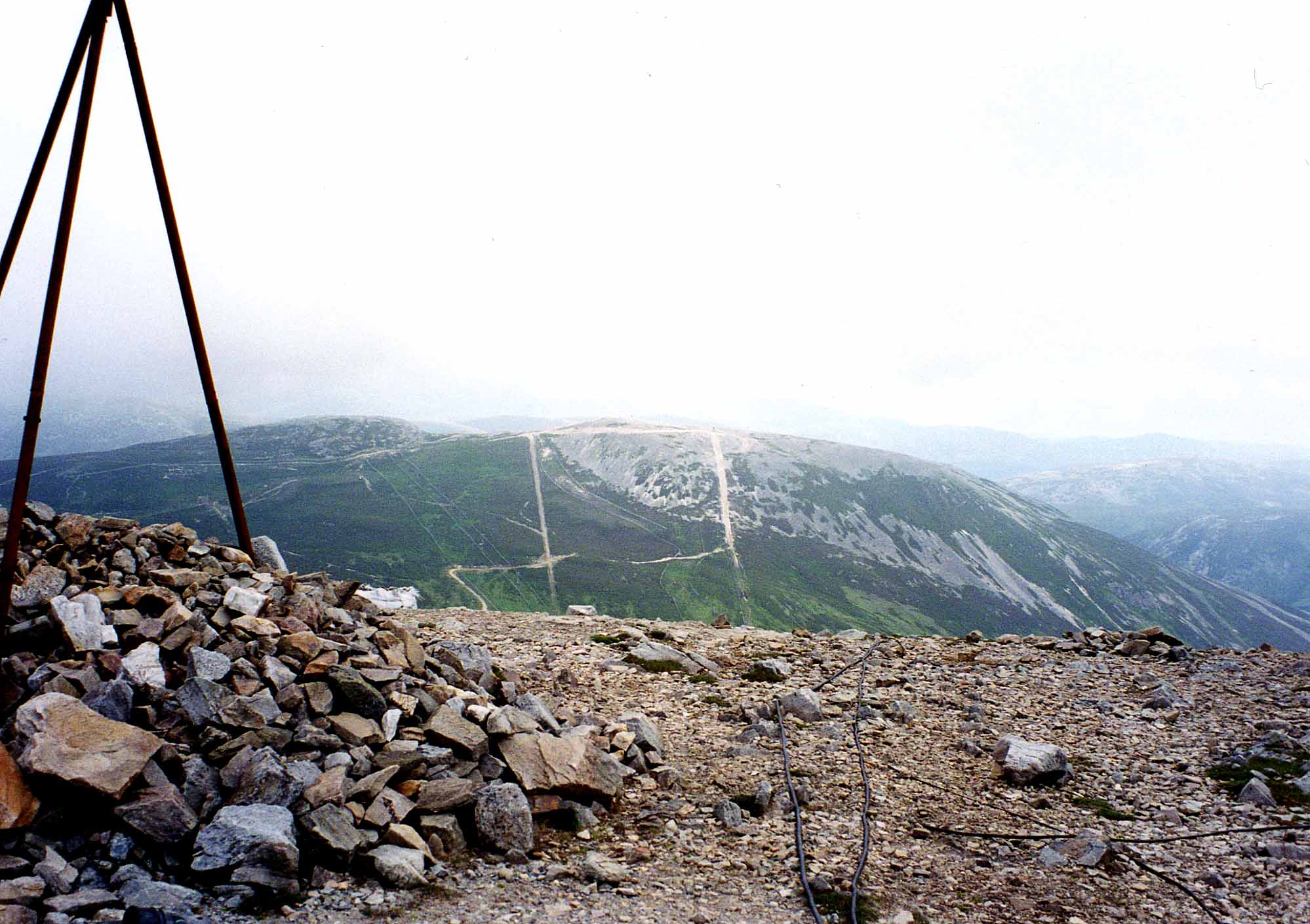
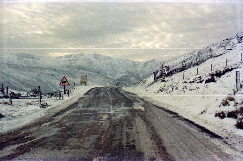
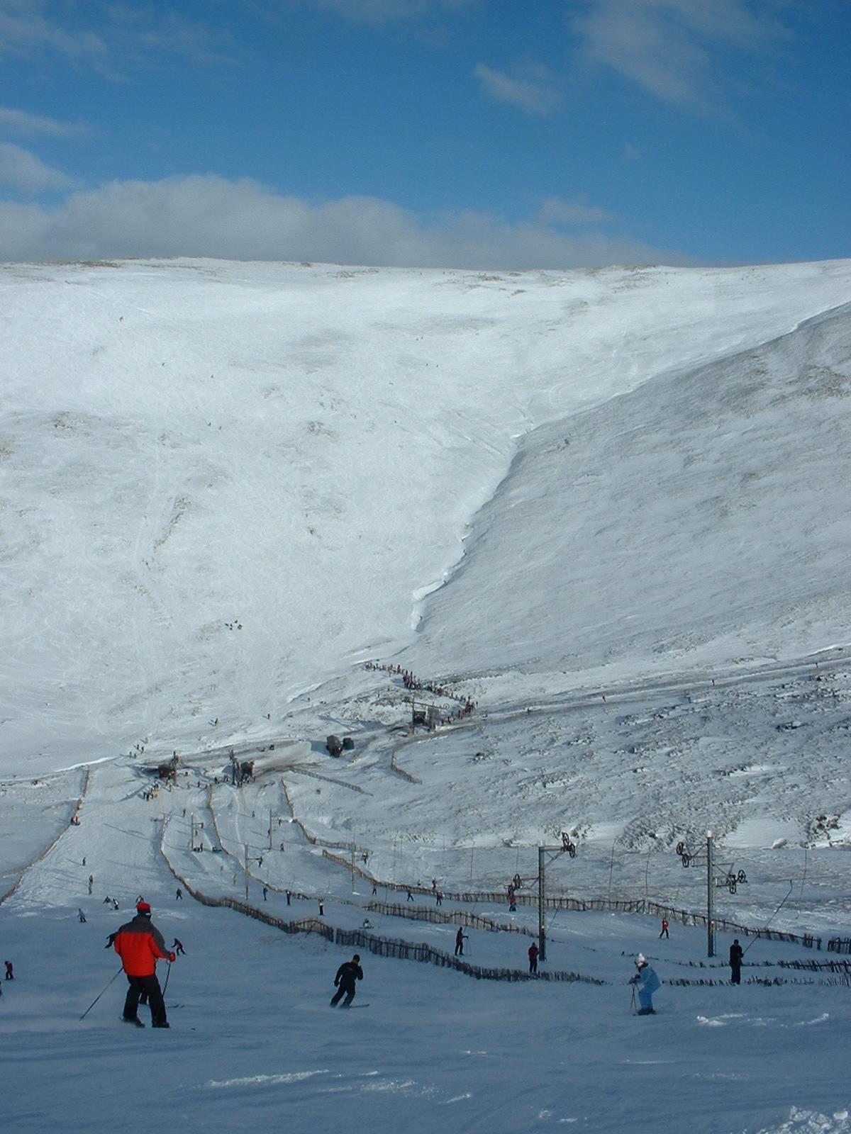
Sgòr Mòr Images

Images are sourced within 2km of 56.925501/-3.4547434 or Grid Reference NO1182. Thanks to Geograph Open Source API. All images are credited.

Baddoch Burn Track
Baddoch Burn Track
House at Baddoch
House at Baddoch
Old Drystane Dyke This old boundary wall runs from the Baddoch Burn to the lower slopes of Sgòr Mòr.
Old Drystane Dyke
This old boundary wall runs from the Baddoch Burn to the lower slopes of Sgòr Mòr.
Road to Baddoch
Road to Baddoch
House at Baddoch Looking down on the house at Baddoch
House at Baddoch
Looking down on the house at Baddoch
Twin cairns on Sgòr Mòr
Ethereal lighting on the snows of Carn Ghriogair Deep Glen Ey cuts through the plateau.
Ethereal lighting on the snows of Carn Ghriogair
Deep Glen Ey cuts through the plateau.
Strone Baddoch The foot of the long ridge descending to Glen Clunie from Carn Aoise, one of the ski hills at "Glen Shee".  There has been a lot of recent tree planting along the Cluanie Water and Baddoch Burn, a successful tactic for fishery improvement on the Tweed, now being done on other rivers.
Strone Baddoch
The foot of the long ridge descending to Glen Clunie from Carn Aoise, one of the ski hills at "Glen Shee". There has been a lot of recent tree planting along the Cluanie Water and Baddoch Burn, a successful tactic for fishery improvement on the Tweed, now being done on other rivers.
Baddoch The building at the foot of Glen Baddoch has been renovated.
Baddoch
The building at the foot of Glen Baddoch has been renovated.
Baddoch Burn Under Sgòr Mòr, with young trees recently planted to improve the water quality and presumably improve the survival rate of young fish.
Baddoch Burn
Under Sgòr Mòr, with young trees recently planted to improve the water quality and presumably improve the survival rate of young fish.
Ruined bridge, Baddoch This mapped bridge is down to its last railway line.
Ruined bridge, Baddoch
This mapped bridge is down to its last railway line.
Clearance cairn, Baddoch Glen Improved farmland with cairns of stones which were cleared to improve ploughing.
Clearance cairn, Baddoch Glen
Improved farmland with cairns of stones which were cleared to improve ploughing.
Ruins, Baddoch Glen Ruins beside an improved field. There are many ruined buildings, dykes etc in the glen.
Ruins, Baddoch Glen
Ruins beside an improved field. There are many ruined buildings, dykes etc in the glen.
Road and bridge, Baddoch Glen There is a long established and well built road up the glen; although it is not shown on a map published in 1901 it predates the bulldozer.  The bridge here is described in many recent reports as being rickety, it has obviously been recently rebuilt.

The lower glen has been improved for agriculture with several fields cleared of stone.
Road and bridge, Baddoch Glen
There is a long established and well built road up the glen; although it is not shown on a map published in 1901 it predates the bulldozer. The bridge here is described in many recent reports as being rickety, it has obviously been recently rebuilt. The lower glen has been improved for agriculture with several fields cleared of stone.
Ruins, Baddoch Glem Some of the many ruins along the Baddoch Burn.  There are numerous outcrops of lime rich rock which make the glen suitable for agriculture despite the altitude. There is still a working farm nearby at over 550m although The Baddoch itself is now uninhabited.
Ruins, Baddoch Glem
Some of the many ruins along the Baddoch Burn. There are numerous outcrops of lime rich rock which make the glen suitable for agriculture despite the altitude. There is still a working farm nearby at over 550m although The Baddoch itself is now uninhabited.
Road, The Baddoch Glen A good quality, long established road up the Baddoch Burn.
Road, The Baddoch Glen
A good quality, long established road up the Baddoch Burn.
Shieling ruins, Baddoch Burn Lime rich rocks make for attractive grazing and the Baddoch Glen has numerous shieling ruins.
Shieling ruins, Baddoch Burn
Lime rich rocks make for attractive grazing and the Baddoch Glen has numerous shieling ruins.
Shieling ruins, Baddoch Burn
Show me another place!

Sgòr Mòr is located at Grid Ref: NO1182 (Lat: 56.925501, Lng: -3.4547434)

Unitary Authority: Aberdeenshire

Police Authority: North East

What 3 Words

///wove.dialect.insiders. Near Inverey, Aberdeenshire

Nearby Locations

Sgòr Mòr

Related Wikis

Càrn Aosda

Càrn Aosda is a Scottish mountain situated 12.5 km south of the town of Braemar, in the county of Aberdeenshire. It stands near the summit of the Cairnwell...

An Socach (Glen Ey)

An Socach is a Scottish mountain situated some three miles (5 km) west of the A93 road from Perth to Braemar. It is located at grid ref. 080800 on Ordnance...

Cairnwell Pass

The Cairnwell Pass (Scottish Gaelic: Càrn a' Bhailg) is a mountain pass on the A93 road between Glen Shee, Perthshire, and Braemar, Aberdeenshire, in the...

Glenshee Ski Centre

Glenshee Ski Centre is an alpine snowsports area in the Scottish Highlands. It is located above the Cairnwell Pass at the head of Glen Shee on either side...

The Cairnwell

The Cairnwell (Scottish Gaelic: An Càrn Bhailg) is a mountain in the Eastern Highlands of Scotland, south of Braemar. It is often considered to be one...

Càrn a' Gheòidh

Càrn a' Gheòidh or Càrn Gheòidh is a mountain in the Mounth region of the Scottish Highlands. It lies 15 km south of the town of Braemar. Its summit stands...

Carn an Tuirc

Carn an Tuirc (Scottish Gaelic: Càrn an Tuirc, 'hill of the wild boar') is a mountain in the Mounth region of the Grampian Mountains, in the Scottish Highlands...

Morrone

Morrone (Scottish Gaelic: Mór Bheinn, or Mór Shròn) is a Scottish hill immediately southwest of the village of Braemar in Aberdeenshire. == Geography... ==

Have you been to Sgòr Mòr?

Leave your review of Sgòr Mòr below (or comments, questions and feedback).