Horton Bank Bottom
Settlement in Yorkshire
England
Horton Bank Bottom

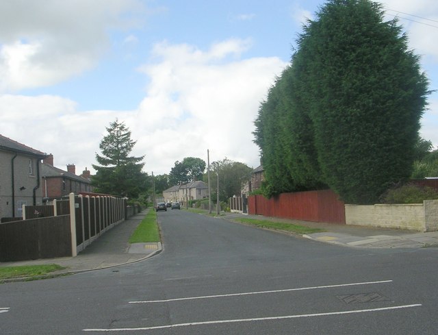
Horton Bank Bottom is a small village located in the county of Yorkshire, England. Situated in the picturesque Yorkshire Dales, it is nestled in the heart of the stunning countryside, surrounded by rolling hills and green fields.
The village itself is characterized by its quaint charm and traditional architecture. Stone houses and cottages line the narrow streets, giving the area a timeless feel. The community is close-knit, with a friendly and welcoming atmosphere that is typical of rural English villages.
Despite its small size, Horton Bank Bottom offers a range of amenities for its residents. There is a local pub, The Red Lion, which serves as a hub for social gatherings and events. The village also has a primary school, ensuring that families have easy access to education for their children.
One of the main attractions in the area is the nearby Horton in Ribblesdale, which is famous for its connection to the Yorkshire Three Peaks Challenge. This grueling hiking challenge takes participants up the steep slopes of Pen-y-ghent, Ingleborough, and Whernside, offering breathtaking views of the surrounding countryside.
For nature lovers, Horton Bank Bottom is an ideal location. The village is surrounded by stunning landscapes, making it the perfect base for exploring the Yorkshire Dales National Park. Hiking, cycling, and birdwatching are popular activities in the area, allowing visitors to immerse themselves in the beauty of the natural surroundings.
Overall, Horton Bank Bottom is a charming and idyllic village that offers a peaceful retreat from the hustle and bustle of city life. Its beautiful scenery, friendly community, and abundance of outdoor activities make it a desirable destination for both residents and visitors alike.
If you have any feedback on the listing, please let us know in the comments section below.
Horton Bank Bottom Images
Images are sourced within 2km of 53.775609/-1.795876 or Grid Reference SE1331. Thanks to Geograph Open Source API. All images are credited.


Horton Bank Bottom is located at Grid Ref: SE1331 (Lat: 53.775609, Lng: -1.795876)
Division: West Riding
Unitary Authority: Bradford
Police Authority: West Yorkshire
What 3 Words
///cubs.smashes.pouch. Near Clayton, West Yorkshire
Nearby Locations
Related Wikis
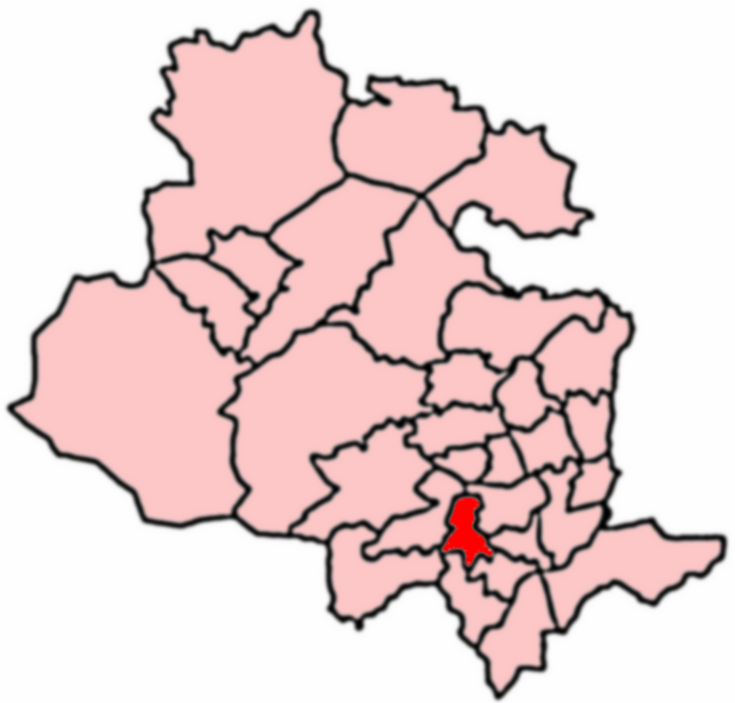
Great Horton
Great Horton is a ward of the City of Bradford, West Yorkshire, England, with a population of 17,683 at the 2011 Census. Great Horton is west of Bradford...

Thornton View Hospital
Thornton View hospital was an 82-bed geriatric hospital near Clayton, West Yorkshire, on the site of the North Bierley Union workhouse. == History == The...

Great Horton railway station
Great Horton railway station was a railway station on the Queensbury-Bradford section of the Queensbury Lines which ran between Bradford, Keighley and...
Co-op Academy Grange
Co-op Academy Grange is a coeducational secondary school located in south Bradford, West Yorkshire, England. == History == === Grammar school === The school...
Nearby Amenities
Located within 500m of 53.775609,-1.795876Have you been to Horton Bank Bottom?
Leave your review of Horton Bank Bottom below (or comments, questions and feedback).