A' Chìoch

Hill, Mountain in Aberdeenshire

Scotland

A' Chìoch

Snow patches in Ear-choire Sneachdach, Beinn a' Bhuird Patches of snow usually linger in Ear-choire Sneachdach ('the east snowy corrie') well into summer or, occasionally, autumn. Climate change has led to a trend towards reduction in snow at this site and an earlier melt date, and there was noticeably less snow here on this day than when I passed by a week earlier.

The longest of the patches has traditionally been nicknamed the Laird's Tablecloth.
Snow patches in Ear-choire Sneachdach, Beinn a' Bhuird Credit: Alan O'Dowd

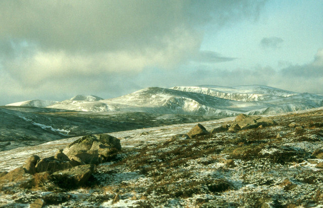
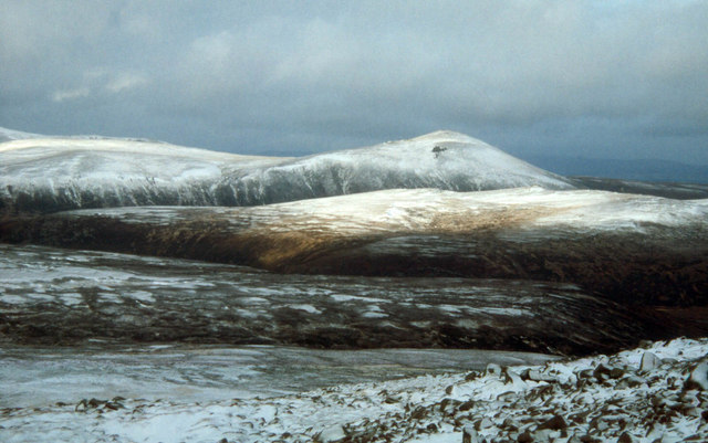
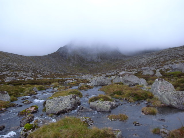
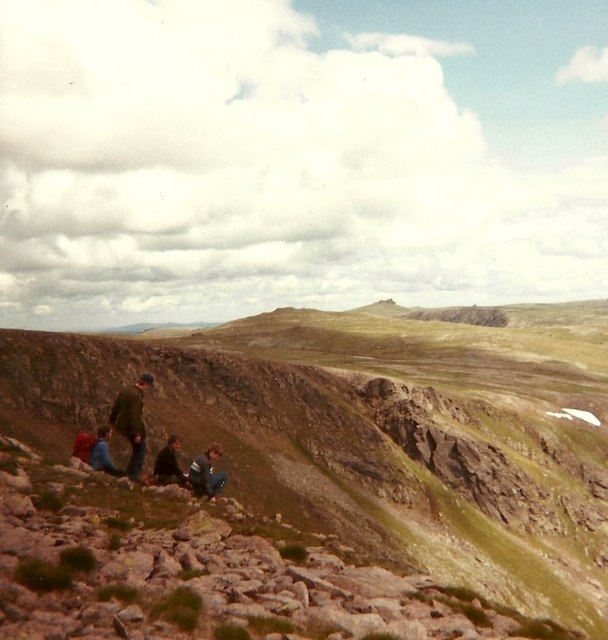
A' Chìoch is a prominent hill located in Aberdeenshire, Scotland. It is situated approximately 10 kilometers west of the town of Ballater and lies within the Cairngorms National Park. Standing at a height of 787 meters (2,582 feet), A' Chìoch is a popular destination for hillwalkers and outdoor enthusiasts.

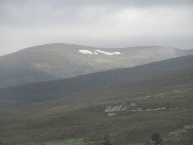
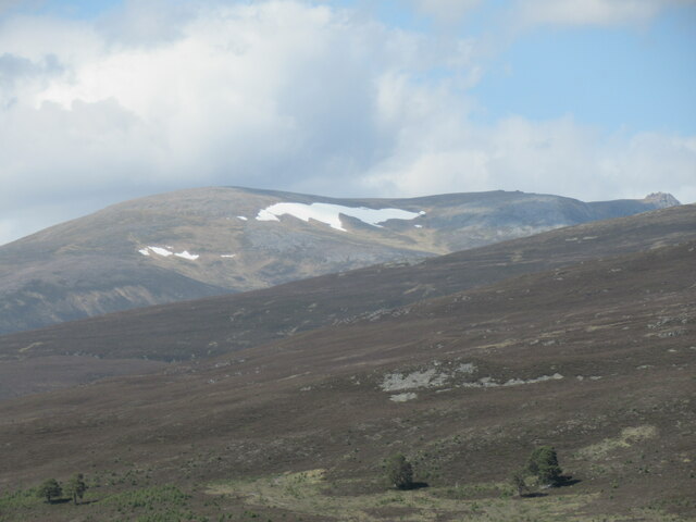
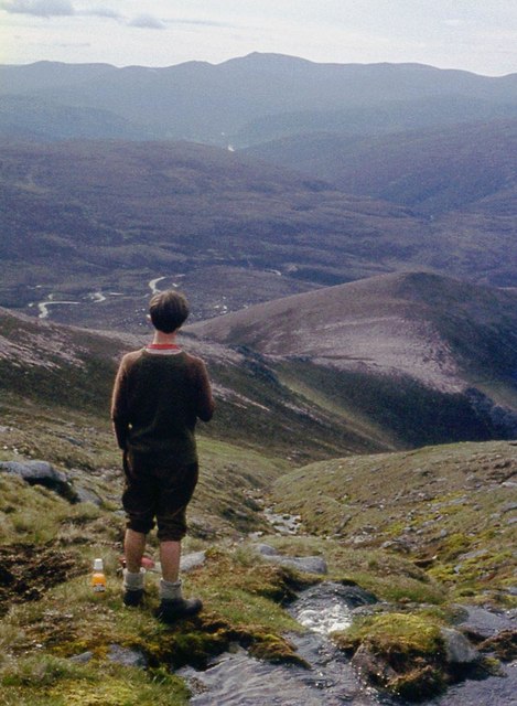
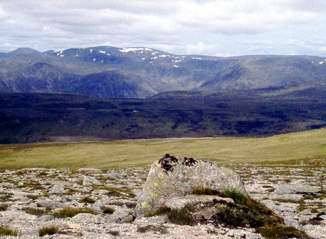
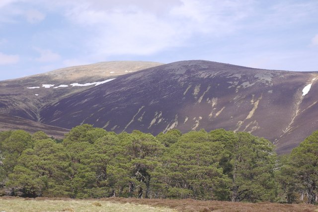
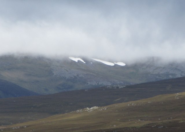
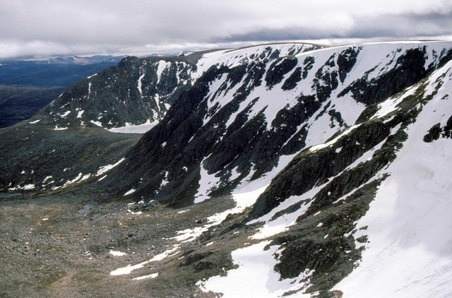
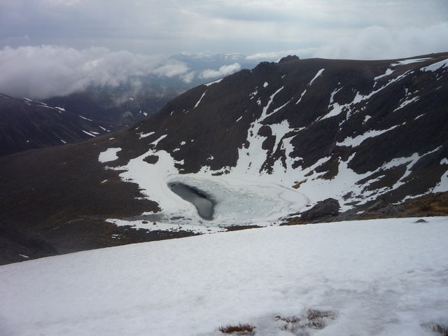
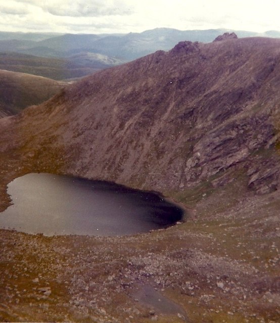
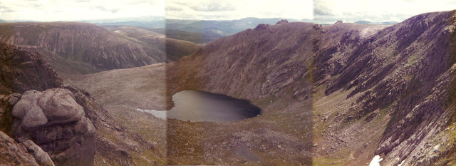
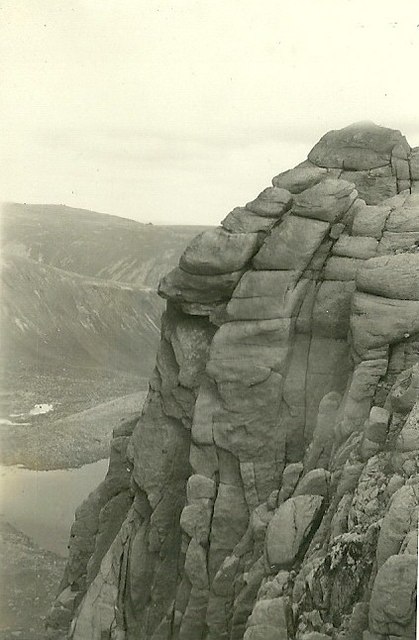
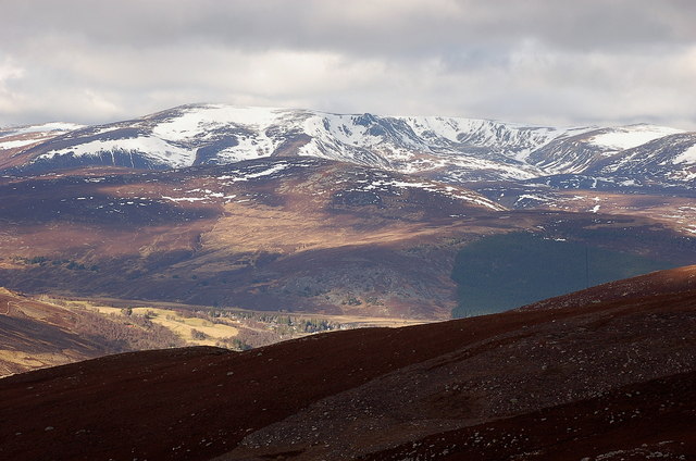
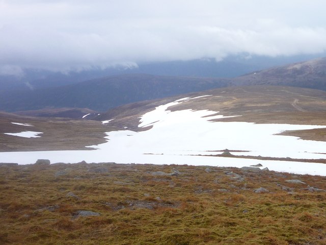
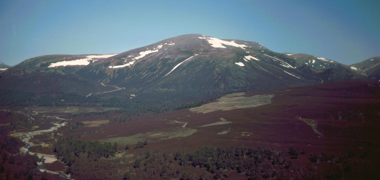
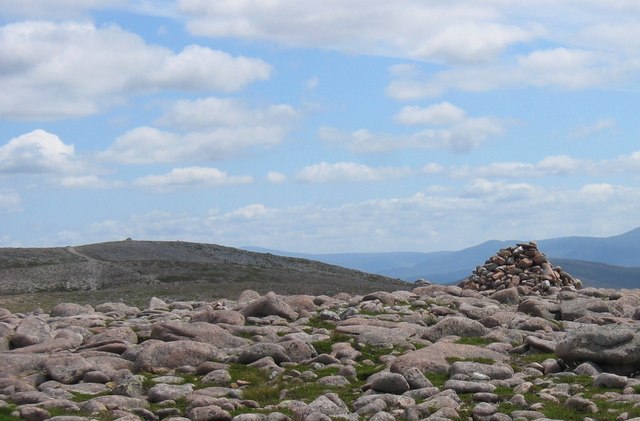
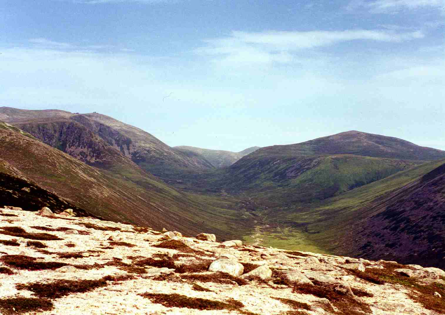
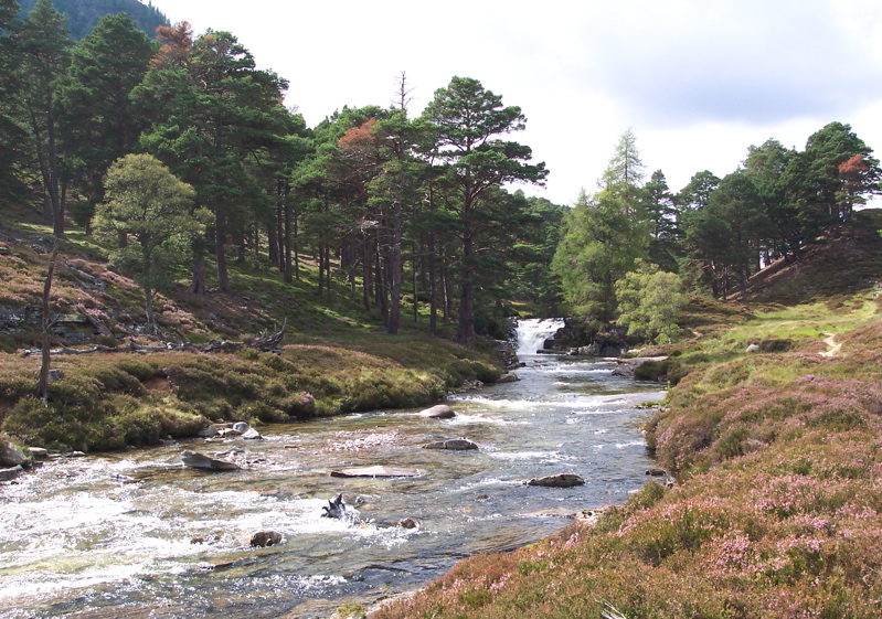
The hill offers breathtaking panoramic views of the surrounding landscape, including the picturesque Dee Valley and the nearby mountain ranges. The ascent to the summit of A' Chìoch is challenging but rewarding, with a well-defined path leading walkers through a mixture of heathery slopes and rocky terrain.

The hill is part of the greater Cairngorms range and is known for its diverse flora and fauna. Its slopes are covered with a variety of plant species, including heather, moss, and wildflowers. It is also home to a range of wildlife, such as red deer, mountain hares, and various bird species, including the iconic golden eagle.

A' Chìoch is a popular destination for outdoor activities such as hiking, hillwalking, and birdwatching. It offers a tranquil and serene environment for nature enthusiasts to explore and appreciate the beauty of the Scottish Highlands. The hill provides a challenging yet rewarding experience for those seeking adventure and a chance to immerse themselves in the stunning Scottish landscape.

If you have any feedback on the listing, please let us know in the comments section below.

A' Chìoch Images

Images are sourced within 2km of 57.070371/-3.4894555 or Grid Reference NO0998. Thanks to Geograph Open Source API. All images are credited.

Snow patches in Ear-choire Sneachdach, Beinn a' Bhuird Patches of snow usually linger in Ear-choire Sneachdach ('the east snowy corrie') well into summer or, occasionally, autumn. Climate change has led to a trend towards reduction in snow at this site and an earlier melt date, and there was noticeably less snow here on this day than when I passed by a week earlier.

The longest of the patches has traditionally been nicknamed the Laird's Tablecloth.
Snow patches in Ear-choire Sneachdach, Beinn a' Bhuird
Patches of snow usually linger in Ear-choire Sneachdach ('the east snowy corrie') well into summer or, occasionally, autumn. Climate change has led to a trend towards reduction in snow at this site and an earlier melt date, and there was noticeably less snow here on this day than when I passed by a week earlier. The longest of the patches has traditionally been nicknamed the Laird's Tablecloth.
Snow patches in Ear-choire Sneachdach, Beinn a' Bhuird Ear-choire Sneachdach means the 'east snowy corrie'. The longest patch is known as the Laird's Tablecloth, and usually lasts well into summer (or occasionally autumn).
Snow patches in Ear-choire Sneachdach, Beinn a' Bhuird
Ear-choire Sneachdach means the 'east snowy corrie'. The longest patch is known as the Laird's Tablecloth, and usually lasts well into summer (or occasionally autumn).
South of Cnap a' Chlèirich The terrain on Beinn a' Bhuird's extensive plateau is a sparsely vegetated grassland interspersed with gravel and rock outcrops.
Looking towards the 1123m spot height to the south of Cnap a' Chlèirich.
South of Cnap a' Chlèirich
The terrain on Beinn a' Bhuird's extensive plateau is a sparsely vegetated grassland interspersed with gravel and rock outcrops. Looking towards the 1123m spot height to the south of Cnap a' Chlèirich.
Southern slopes of Beinn a' Bhuird
View west from Beinn a' Bhuird
Beinn a' Bhuird Snow patches in Coire Gorm on the southern side of the hill.  The summit is a long way north of here, at the other end of a vast plateau.
Beinn a' Bhuird
Snow patches in Coire Gorm on the southern side of the hill. The summit is a long way north of here, at the other end of a vast plateau.
Snow patches in Ear-choire Sneachdach, Beinn a' Bhuird Patches of snow usually linger in Ear-choire Sneachdach ('the east snowy corrie') well into summer or, occasionally, autumn.  Despite limited winter snowfall, a cold and snowy spring and a cool early summer have ensured that a reasonable amount of snow remains at this location in early July 2019.

The longest of the patches has traditionally been nicknamed the Laird's Tablecloth.
Snow patches in Ear-choire Sneachdach, Beinn a' Bhuird
Patches of snow usually linger in Ear-choire Sneachdach ('the east snowy corrie') well into summer or, occasionally, autumn. Despite limited winter snowfall, a cold and snowy spring and a cool early summer have ensured that a reasonable amount of snow remains at this location in early July 2019. The longest of the patches has traditionally been nicknamed the Laird's Tablecloth.
Coire na Clach Looking past the Dividing Buttress to the frozen Dubh Lochan.
Coire na Clach
Looking past the Dividing Buttress to the frozen Dubh Lochan.
Dubh Lochan of Beinn a'Bhuird Still half-frozen in late May.
Dubh Lochan of Beinn a'Bhuird
Still half-frozen in late May.
High Cairngorms from Beinn a' Bhuird A thin year for snow cover
High Cairngorms from Beinn a' Bhuird
A thin year for snow cover
Plateau of Beinn a' Bhuird Shapely summit of Bynack More beyond
Plateau of Beinn a' Bhuird
Shapely summit of Bynack More beyond
Dubh Lochain Looking over the Dubh Lochain towards Dividing Buttress from the easterly outflow.
Dubh Lochain
Looking over the Dubh Lochain towards Dividing Buttress from the easterly outflow.
Taking a tentative look down the east side of Beinn a' Bhuird, North Top
Dubh Lochan below A' Chioch
Dubh Lochan below A' Chioch This composite, if allowed, gives an overall impression of the east side of Beinn A'Bhuird
Dubh Lochan below A' Chioch
This composite, if allowed, gives an overall impression of the east side of Beinn A'Bhuird
Bloodhound Buttress My first introduction to the Cairngorms was in 1959 and I took this picture with my trusty old Kodak box camera.
Bloodhound Buttress
My first introduction to the Cairngorms was in 1959 and I took this picture with my trusty old Kodak box camera.
The corries of Beinn a' Bhuird The sweep of E-facing corries seen from spot height 795m on the E side of Glen Callater. Much of the skyline in view here is above 1100m.
The corries of Beinn a' Bhuird
The sweep of E-facing corries seen from spot height 795m on the E side of Glen Callater. Much of the skyline in view here is above 1100m.
Late-lying snowfield on Beinn a' Bhuird The track ascending from An Diollaid can be seen on the right of the photo
Late-lying snowfield on Beinn a' Bhuird
The track ascending from An Diollaid can be seen on the right of the photo
Show me another place!

A' Chìoch is located at Grid Ref: NO0998 (Lat: 57.070371, Lng: -3.4894555)

Unitary Authority: Aberdeenshire

Police Authority: North East

What 3 Words

///announce.nobody.pranced. Near Inverey, Aberdeenshire

Related Wikis

Have you been to A' Chìoch?

Leave your review of A' Chìoch below (or comments, questions and feedback).