Highgate Hill
Hill, Mountain in Montgomeryshire
Wales
Highgate Hill
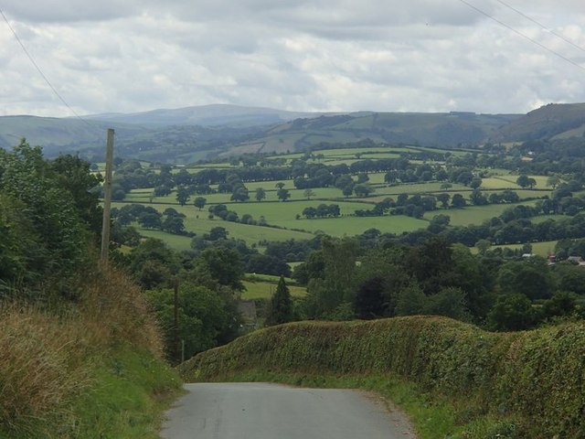
Highgate Hill is a prominent hill located in Montgomeryshire, Wales. It stands at an elevation of approximately 1,200 feet above sea level and offers stunning panoramic views of the surrounding countryside. The hill is known for its steep gradient, making it a popular destination for hikers and nature enthusiasts looking for a challenging climb.
Highgate Hill is covered in lush greenery, with a variety of plant and animal species thriving in its diverse ecosystem. The hill is also home to several ancient ruins, including the remnants of a medieval castle that once stood at its summit. Visitors can explore these historic sites while taking in the breathtaking views of the Montgomeryshire landscape.
In addition to its natural beauty and historical significance, Highgate Hill is also a popular spot for outdoor recreation. The hill is equipped with hiking trails, picnic areas, and camping facilities, making it an ideal destination for a day trip or weekend getaway. Whether you're looking to admire the stunning scenery, explore ancient ruins, or challenge yourself with a hike, Highgate Hill offers something for everyone to enjoy.
If you have any feedback on the listing, please let us know in the comments section below.
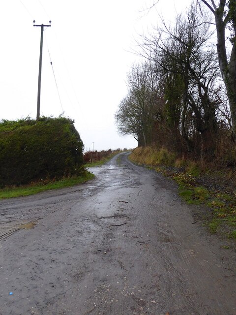
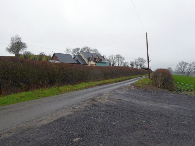
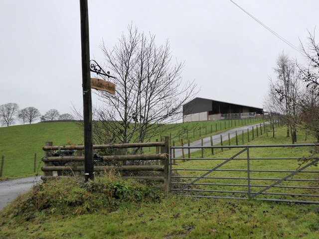
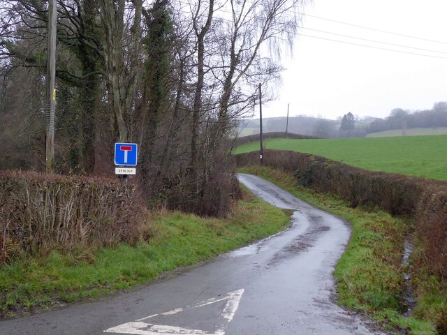
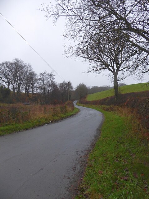
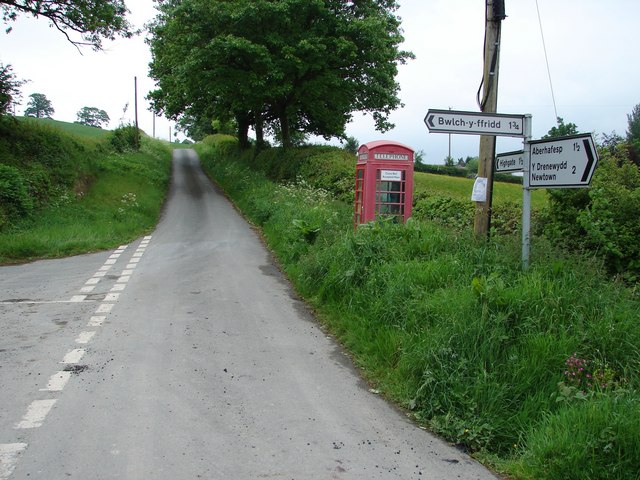
Highgate Hill Images
Images are sourced within 2km of 52.550759/-3.3320358 or Grid Reference SO0995. Thanks to Geograph Open Source API. All images are credited.


Highgate Hill is located at Grid Ref: SO0995 (Lat: 52.550759, Lng: -3.3320358)
Unitary Authority: Powys
Police Authority: Dyfed Powys
What 3 Words
///tragedy.acute.asked. Near Newtown, Powys
Nearby Locations
Related Wikis

Gregynog Hall
Gregynog (Welsh pronunciation: [ɡrɛˈɡənɔɡ]) is a large country mansion in the village of Tregynon, 4 miles (6.4 km) northwest of Newtown in the old county...
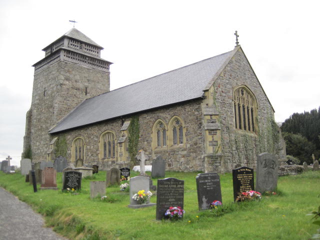
St Beuno's Church, Bettws Cedewain
St Beuno's Church, Bettws Cedewain lies within the historic county of Montgomeryshire in Powys. The church occupies a prominent position overlooking the...
Bettws Cedewain
Bettws Cedewain (Welsh: Betws Cedewain), also known as Bettws Cedewen, is a small village and community in Montgomeryshire, Powys, Wales. It lies in a...

Newtown West (Powys electoral ward)
Newtown West (formerly Newtown Llanllwchaiarn West or Llanllwchaiarn West) is the name of an electoral ward in the community of Newtown and Llanllwchaiarn...
Nearby Amenities
Located within 500m of 52.550759,-3.3320358Have you been to Highgate Hill?
Leave your review of Highgate Hill below (or comments, questions and feedback).