Castle Hill

Hill, Mountain in Somerset Somerset West and Taunton

England

Castle Hill

Wiveliscombe : West Road B3227 West Road with the rugby club in view.
Wiveliscombe : West Road B3227 Credit: Lewis Clarke

Castle Hill is a prominent natural landmark located in Somerset, England. Situated near the village of Stoke-sub-Hamdon, it is a limestone hill that is part of the Blackdown Hills Area of Outstanding Natural Beauty. Rising to an elevation of approximately 110 meters (360 feet), Castle Hill offers stunning panoramic views of the surrounding countryside.

The hill takes its name from the remnants of a Norman motte-and-bailey castle that once stood at its summit. Although the castle itself no longer exists, its historical significance is evident in the ruins that remain. Visitors can explore the earthworks, which include the remains of a moat and defensive ditches. These remnants provide a glimpse into the hill's past, offering insight into the area's medieval history.

Aside from its historical significance, Castle Hill is also known for its diverse flora and fauna. The hill is home to a variety of plant species, including rare orchids and wildflowers, which bloom during the spring and summer months. The abundance of wildlife in the area attracts nature enthusiasts, who can spot birds, butterflies, and other creatures while exploring the hill's trails.

Castle Hill is a popular destination for outdoor activities such as hiking and picnicking. The hill features a network of footpaths and trails, allowing visitors to explore the landscape at their leisure. The well-maintained paths make it accessible for people of all ages and abilities.

Overall, Castle Hill in Somerset offers a fascinating blend of history, natural beauty, and recreational opportunities, making it a must-visit destination for both locals and tourists alike.

If you have any feedback on the listing, please let us know in the comments section below.

Castle Hill Images

Images are sourced within 2km of 51.045182/-3.2896227 or Grid Reference ST0928. Thanks to Geograph Open Source API. All images are credited.

Wiveliscombe : West Road B3227 West Road with the rugby club in view.
Wiveliscombe : West Road B3227
West Road with the rugby club in view.
Wiveliscombe : Recreation Ground A recreation ground and rugby club.
Wiveliscombe : Recreation Ground
A recreation ground and rugby club.
Wiveliscombe : Croft Way B3227 Looking along Croft Way.
Wiveliscombe : Croft Way B3227
Looking along Croft Way.
Wiveliscombe : Croft Way Car Park A car park off the B3227.
Wiveliscombe : Croft Way Car Park
A car park off the B3227.
Wiveliscombe : Lister House Surgery A medical centre off Croft Way.
Wiveliscombe : Lister House Surgery
A medical centre off Croft Way.
Wiveliscombe : Lister House Surgery A medical centre off Croft Way.
Wiveliscombe : Lister House Surgery
A medical centre off Croft Way.
Wiveliscombe : High Street High Street off Croft Way.
Wiveliscombe : High Street
High Street off Croft Way.
Wiveliscombe : St Andrew's Church The church was built by Richard Carver between 1827 and 1829, on the site of an earlier medieval church. It originally had a gallery but this is now the organ loft. The Rose window was added in 1915. The parish is part of the Wiveliscombe and the Hills benefice, within the Diocese of Bath and Wells.
Wiveliscombe : St Andrew's Church
The church was built by Richard Carver between 1827 and 1829, on the site of an earlier medieval church. It originally had a gallery but this is now the organ loft. The Rose window was added in 1915. The parish is part of the Wiveliscombe and the Hills benefice, within the Diocese of Bath and Wells.
Wiveliscombe : St Andrew's Church Grounds In the grounds of St Andrew's Church.
Wiveliscombe : St Andrew's Church Grounds
In the grounds of St Andrew's Church.
Wiveliscombe : St Andrew's Church A footpath heads around the church.
Wiveliscombe : St Andrew's Church
A footpath heads around the church.
Wiveliscombe : Masonic Hall Masonic Hall. Early C19. Stucco with hipped Welsh slate roof, deep eaves and soffit board, brick stacks to right. 2-storeys, 4-bays with central porch and single storey, single bay projection with moulded cornice in front of right-hand bay. All windows sashes with glaring bars. Tuscan porch with eight panel door and wreath knocker.
Wiveliscombe : Masonic Hall
Masonic Hall. Early C19. Stucco with hipped Welsh slate roof, deep eaves and soffit board, brick stacks to right. 2-storeys, 4-bays with central porch and single storey, single bay projection with moulded cornice in front of right-hand bay. All windows sashes with glaring bars. Tuscan porch with eight panel door and wreath knocker.
Wiveliscombe : Bishops Green Bishops Green off Station Road.
Wiveliscombe : Bishops Green
Bishops Green off Station Road.
Wiveliscombe : Palace Garden Looking along Palace Garden.
Wiveliscombe : Palace Garden
Looking along Palace Garden.
Wiveliscombe : Houses Houses off Mill Lane.
Wiveliscombe : Houses
Houses off Mill Lane.
Wiveliscombe : Grassy Field A right of way heads through the field.
Wiveliscombe : Grassy Field
A right of way heads through the field.
Wiveliscombe : Grassy Field A field with a right of way through it.
Wiveliscombe : Grassy Field
A field with a right of way through it.
Wiveliscombe : Grassy Field Looking across a field with Kingsmead School in view.
Wiveliscombe : Grassy Field
Looking across a field with Kingsmead School in view.
Show me another place!

Castle Hill is located at Grid Ref: ST0928 (Lat: 51.045182, Lng: -3.2896227)

Administrative County: Somerset

District: Somerset West and Taunton

Police Authority: Avon and Somerset

What 3 Words

///shop.reviews.convinces. Near Wiveliscombe, Somerset

Nearby Locations

Castle Ford Castle Hill

Related Wikis

King's Castle, Wiveliscombe

King's Castle is an Iron Age Hillfort 1 kilometre (0.62 mi) east of Wiveliscombe in Somerset, England. It is surrounded by two banks with a ditch between...

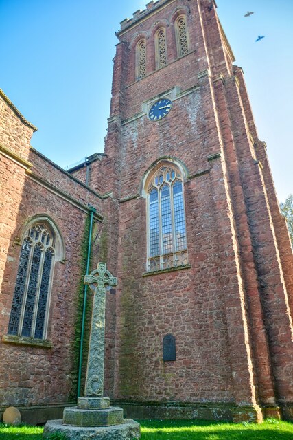
Church of St Andrew, Wiveliscombe

The Church Of St Andrew in Wiveliscombe, Somerset, England was built in 1829. It is a Grade II* listed building. == History == The church was built by...

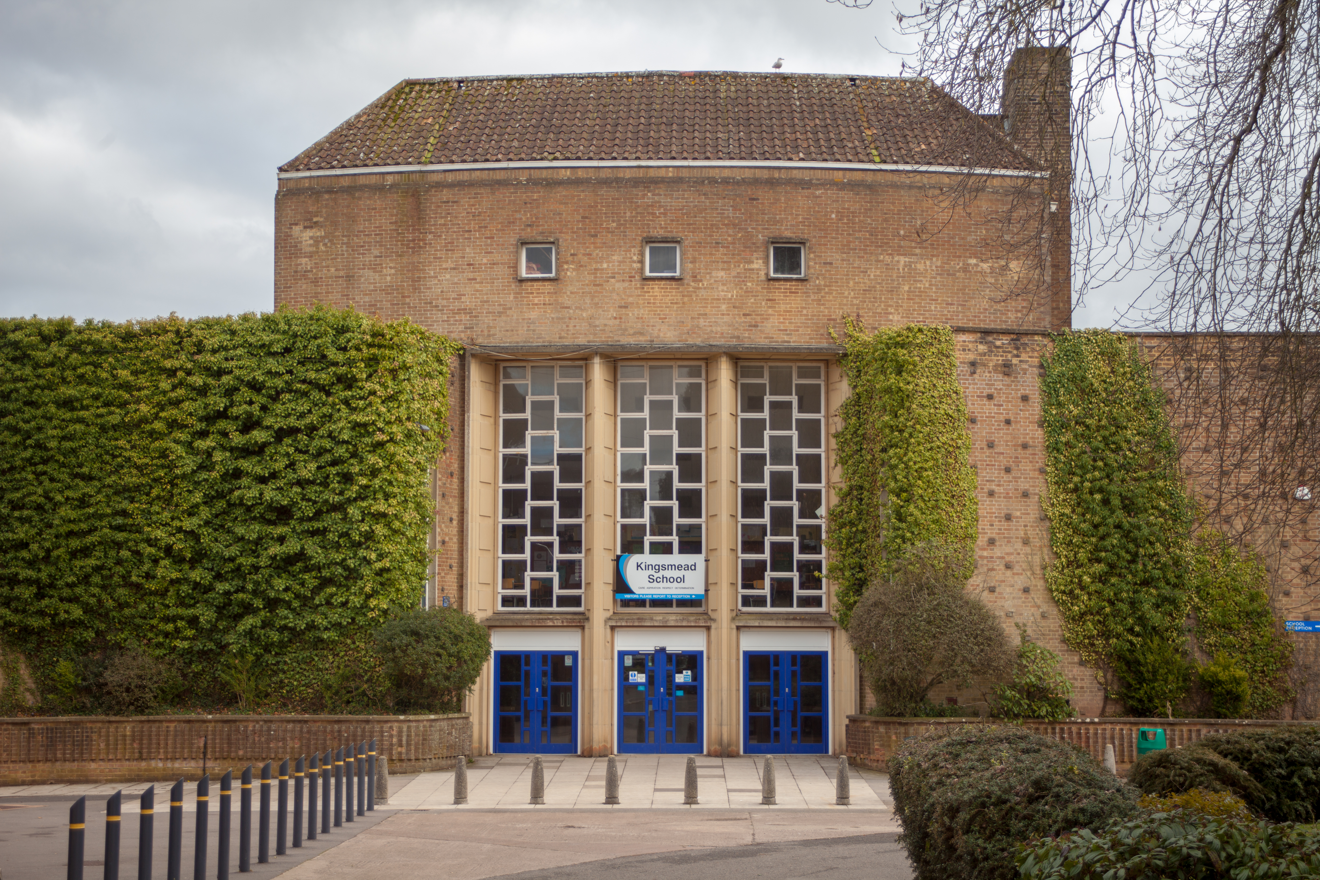
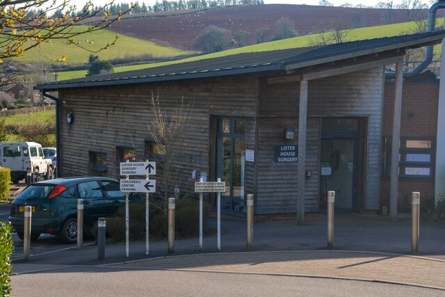
Kingsmead School, Wiveliscombe

Kingsmead School (KS) is a coeducational state school in Wiveliscombe, Somerset, England, serving the north-west of Taunton Deane district. It had 804...
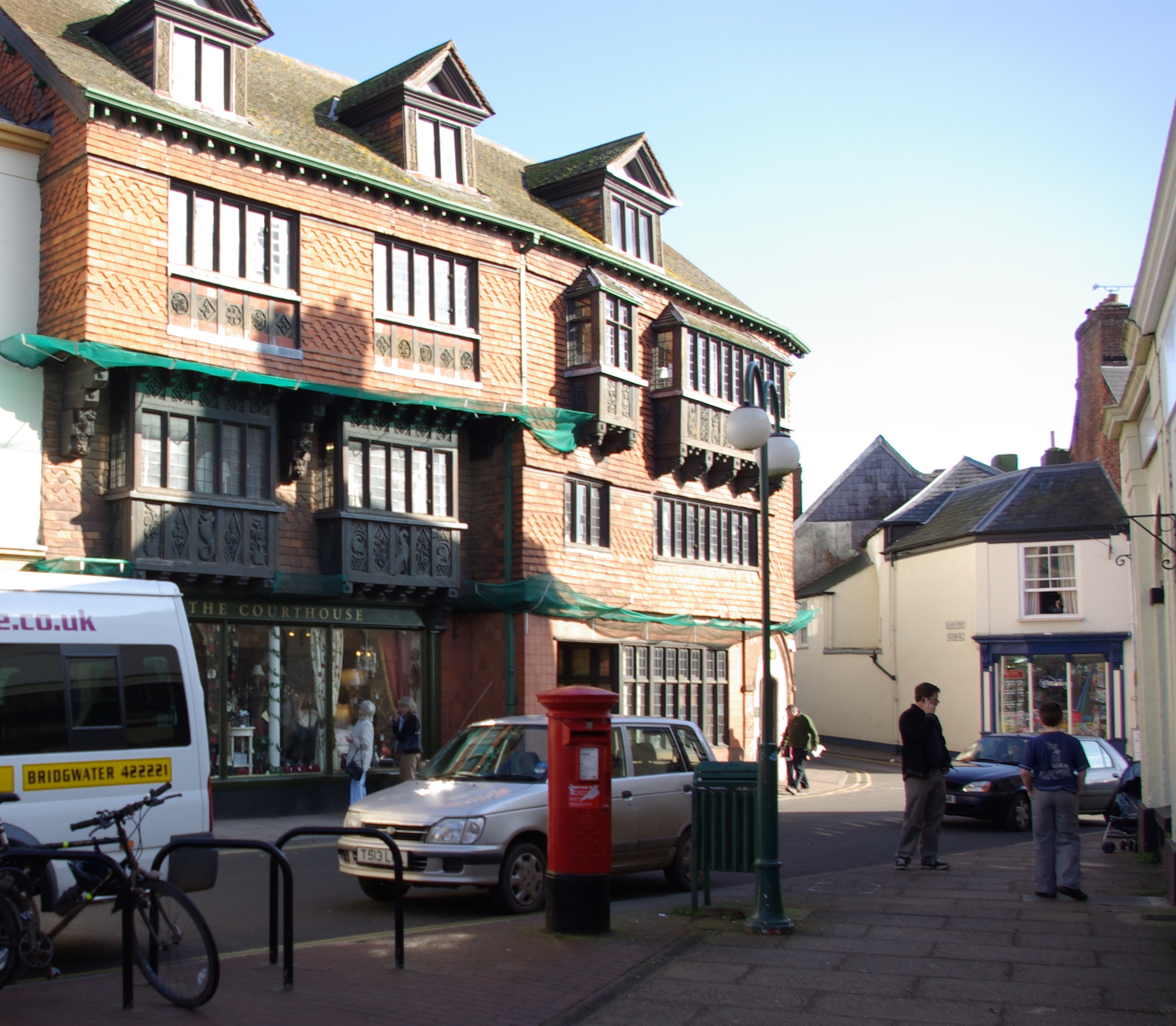
Wiveliscombe

Wiveliscombe (, locally ) is a town and civil parish in Somerset, England, situated 9 miles (14 km) west of Taunton. The town has a population of 2,893...

Fitzhead

Fitzhead is a village and civil parish in Somerset, England, situated approximately 6 miles (9.7 km) north west of Taunton. The village has an estimated...

Holme Moor & Clean Moor

Holme Moor & Clean Moor (grid reference ST095260) is a 10.8 hectare (26.7 acre) biological Site of Special Scientific Interest south of Wiveliscombe in...

Church of St James the Great, Fitzhead

The Anglican Church of St James the Great in Fitzhead, Somerset, England was built in the 15th century. It is a Grade II* listed building. == History... ==

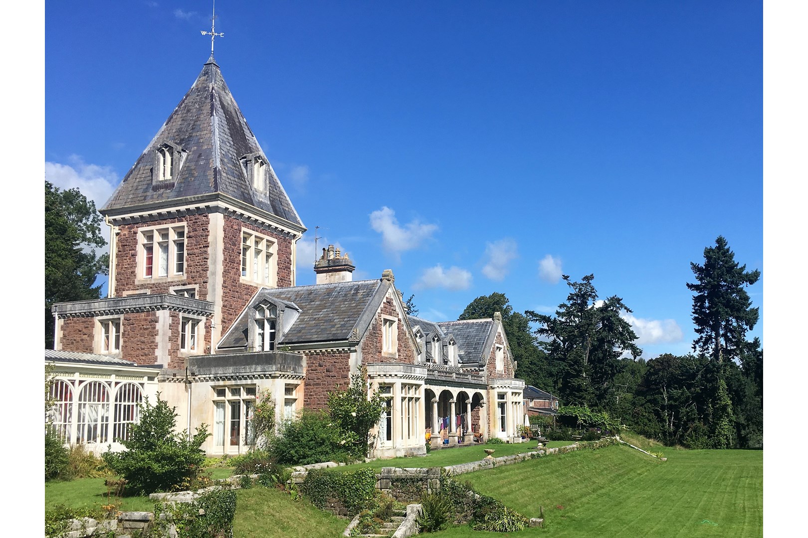
Abbotsfield, Wiveliscombe

Abbotsfield is a country house and farm, to the west of the town of Wiveliscombe, Somerset, England. Built in 1872, it became a Grade II listed building...

Nearby Amenities

Located within 500m of 51.045182,-3.2896227
King's Castle
Heritage: yes
Historic: archaeological_site
Wikidata: Q6410865
Wikipedia: en:King's Castle, Wiveliscombe
Lat/Long: 51.0460079/-3.2900137
Brand: National Grid
Brand Wikidata: Q1465461
Material: wood
Operator: National Grid Electricity Distribution Plc
Operator Old: Western Power Distribution
Operator Wikidata: Q7988183
Owner: National Grid Electricity Distribution (South West) Plc
Owner Wikidata: Q114397866
Power: pole
Lat/Long: 51.0460432/-3.2931358
Brand: National Grid
Brand Wikidata: Q1465461
Material: wood
Operator: National Grid Electricity Distribution Plc
Operator Old: Western Power Distribution
Operator Wikidata: Q7988183
Owner: National Grid Electricity Distribution (South West) Plc
Owner Wikidata: Q114397866
Power: pole
Lat/Long: 51.0468982/-3.2960299
Power: pole
Lat/Long: 51.0420617/-3.2945842
The data included in this document is from www.openstreetmap.org. The data is made available under ODbL.

Have you been to Castle Hill?

Leave your review of Castle Hill below (or comments, questions and feedback).