Appat Hill
Hill, Mountain in Caithness
Scotland
Appat Hill
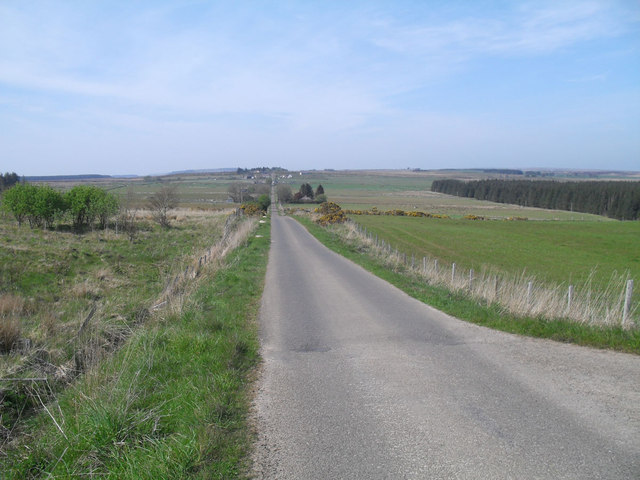
Appat Hill is a prominent geographical feature located in the county of Caithness, in the northernmost part of mainland Scotland. Rising to an elevation of approximately 346 meters (1,135 feet), it is classified as a hill rather than a mountain. Despite its modest height, Appat Hill offers stunning panoramic views of the surrounding area, making it a popular destination for hikers, nature enthusiasts, and photographers.
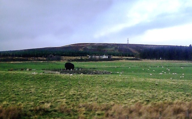
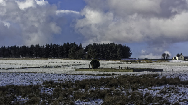
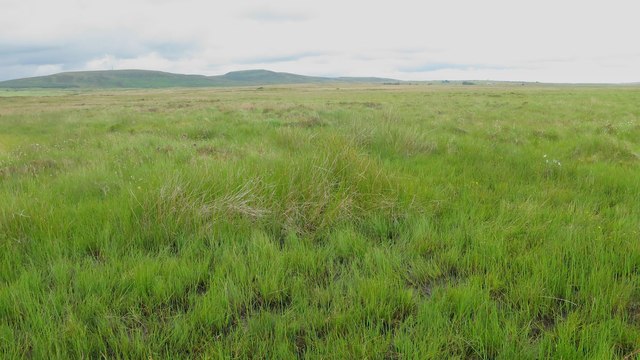
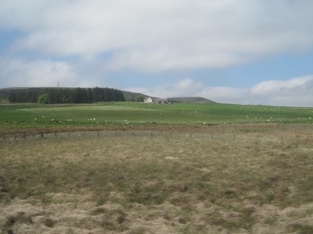
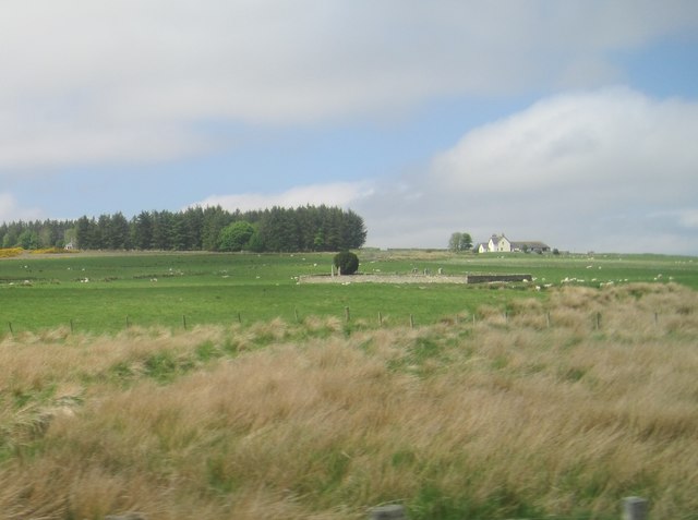
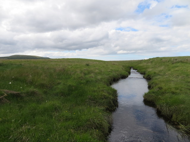
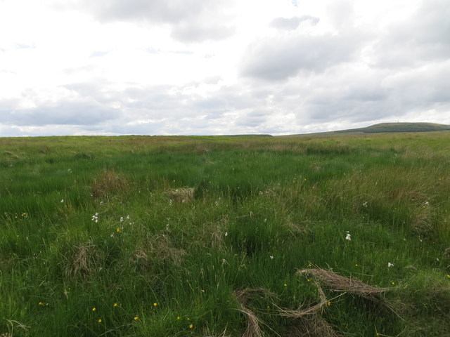
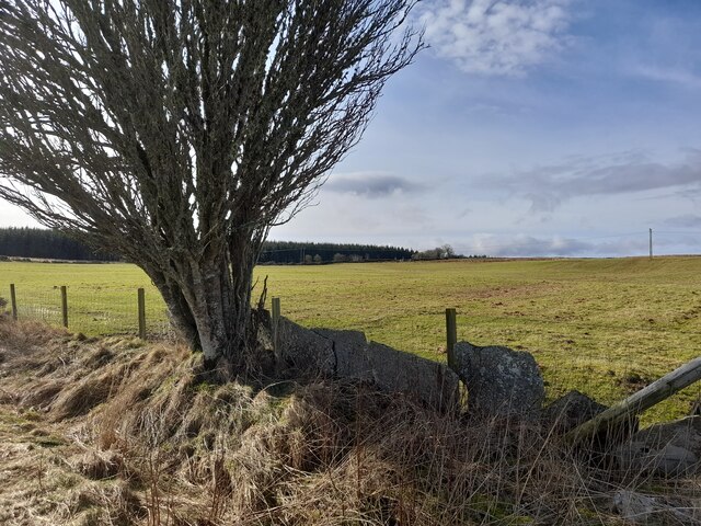
Situated within the picturesque Caithness countryside, Appat Hill is characterized by its gently sloping sides covered in heather and grasses, interspersed with rocky outcrops. The hill is part of a larger range known as the Caithness Hills, which are primarily composed of Old Red Sandstone, lending them a distinctive reddish color.
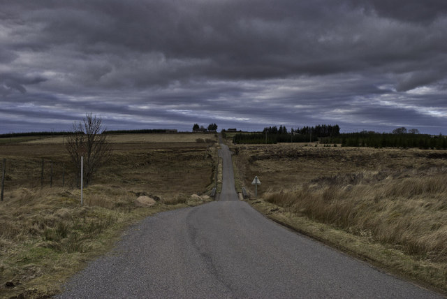
Appat Hill is easily accessible by foot, with several well-marked trails leading to its summit. The ascent is generally manageable for most walkers, although some steeper sections may require a bit of effort. Along the way, visitors may encounter native wildlife, such as red grouse, mountain hares, and various bird species.
Once at the summit, one can enjoy breathtaking views across the surrounding Caithness landscape, including the nearby Loch Calder and the North Sea coastline. On clear days, it is even possible to catch a glimpse of the Orkney Islands to the northeast.
Overall, Appat Hill provides a rewarding outdoor experience, offering a tranquil escape into the natural beauty of Caithness, and a chance to appreciate the Scottish Highlands from a different perspective.
If you have any feedback on the listing, please let us know in the comments section below.
Appat Hill Images
Images are sourced within 2km of 58.46815/-3.5498867 or Grid Reference ND0954. Thanks to Geograph Open Source API. All images are credited.


Appat Hill is located at Grid Ref: ND0954 (Lat: 58.46815, Lng: -3.5498867)
Unitary Authority: Highland
Police Authority: Highlands and Islands
What 3 Words
///desire.steams.overpower. Near Halkirk, Highland
Nearby Locations
Related Wikis

Olgrinmore
Olgrinmore is a small area in Halkirk, Northern Scotland, south of Thurso and John o' Groats. The B870 runs directly through the centre with Scotscalder...
Scotscalder
Scots Calder is an area within Halkirk, Northern Scotland. It is served by Scotscalder railway station which is operated by ScotRail. The B870 runs directly...

Scotscalder railway station
Scotscalder railway station is a railway station located in the Highland council area in the far north of Scotland. It serves several rural hamlets in...
Dorrery
Dorrery is a small hamlet lying to the east of Ben Dorrery in the district of Halkirk in Caithness, Scottish Highlands and is in the Scottish council...

Battle of Harpsdale
The Battle of Harpsdale (Battle of Achardale, Battle of Harpasdal) was a Scottish clan battle fought in 1426 at Achardale, about 8 miles (13 km) south...

Ca na Catanach
Ca na Catanach (translation: "Sutherland Men's Path") is a road and footpath between Sutherland and Caithness through the moorland in the northeastern...
Westerdale, Highland
Westerdale (Scottish Gaelic: An Dail Shuas) is a scattered crofting village which lies on the River Thurso, located five miles (eight kilometres) directly...

Loch Shurrery
Loch Shurrery (also known as Loch Shurrey) is a small, shallow, lowland freshwater loch lying approximately 8 mi (13 km) south west of Thurso in the Scottish...
Nearby Amenities
Located within 500m of 58.46815,-3.5498867Have you been to Appat Hill?
Leave your review of Appat Hill below (or comments, questions and feedback).