Ballaman Hill
Hill, Mountain in Peeblesshire
Scotland
Ballaman Hill
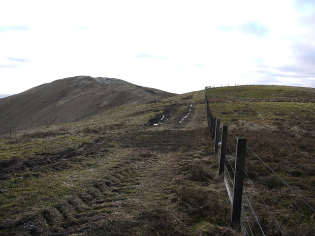
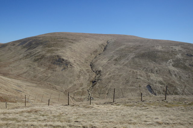
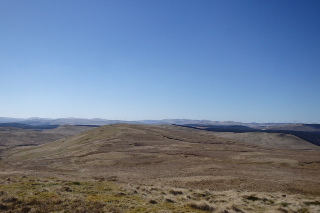
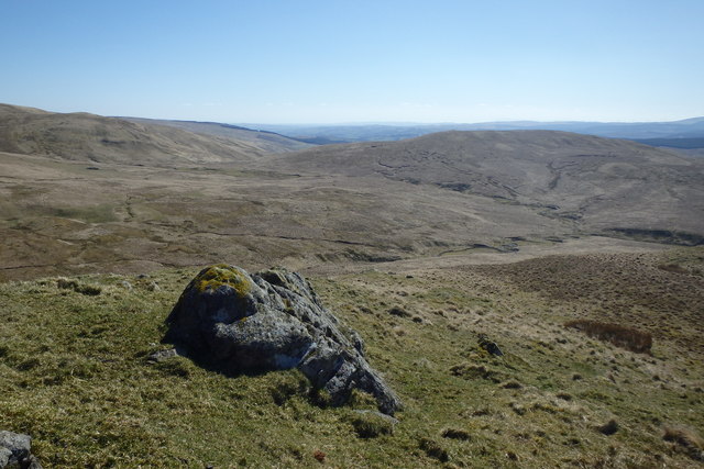
Ballaman Hill is a prominent hill located in the county of Peeblesshire, Scotland. Standing at an impressive height of 423 meters (1,388 feet), it offers breathtaking views of the surrounding countryside and is a popular destination for hikers and nature enthusiasts.
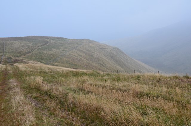
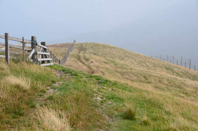
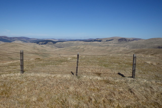
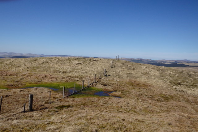
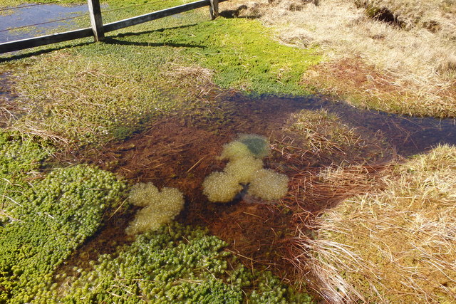
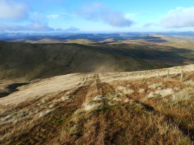
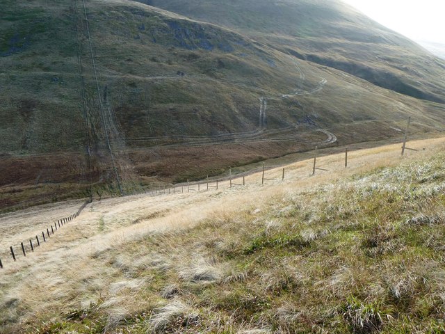
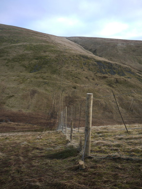
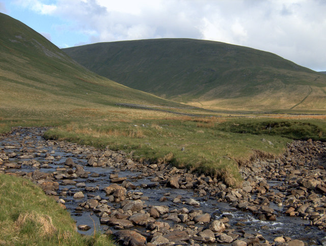
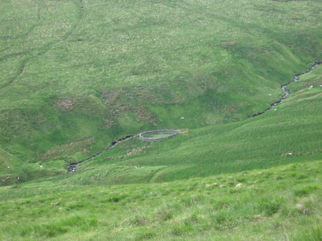
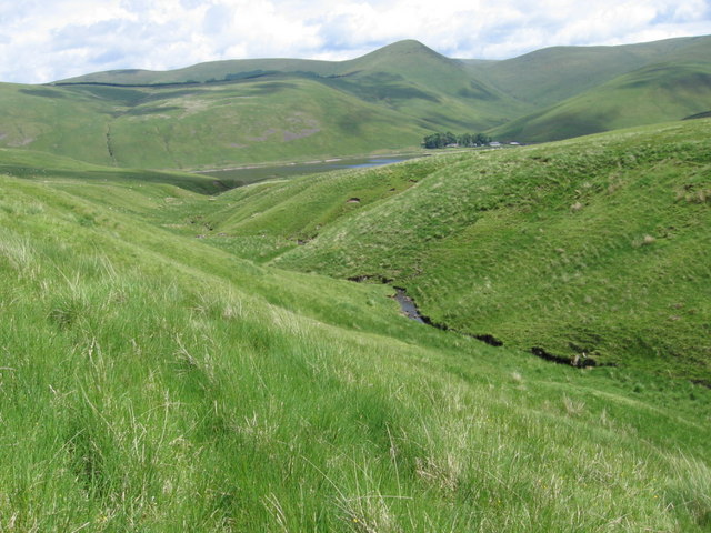
Situated near the village of Eddleston, Ballaman Hill is easily accessible and can be reached via a network of well-marked trails. The hill is characterized by its rolling landscape and lush greenery, with a variety of plant and animal species thriving in its diverse habitats.
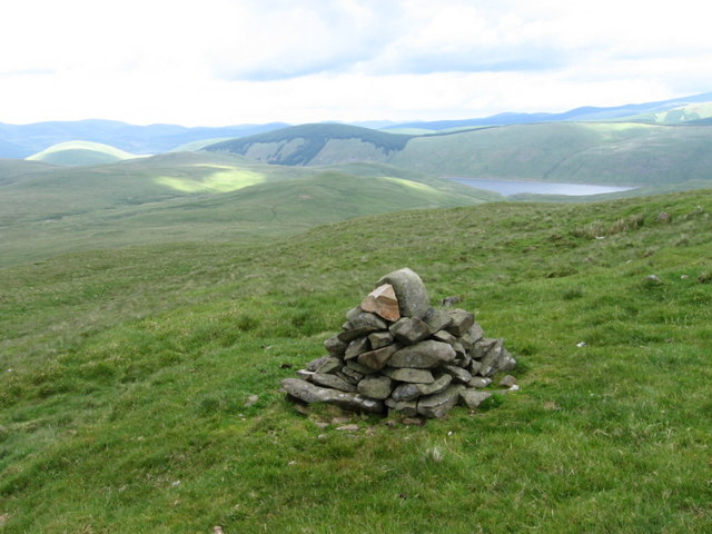
The summit of Ballaman Hill provides an excellent vantage point, offering panoramic views of the picturesque Tweed Valley, the nearby Pentland Hills, and the stunning Scottish Borders. On clear days, it is even possible to catch a glimpse of the iconic Edinburgh skyline in the distance.
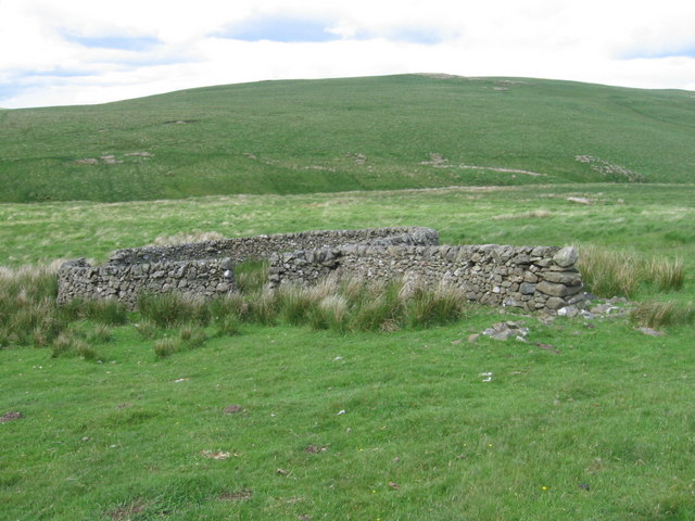
The hill is rich in historical significance, with several ancient sites of interest in its vicinity. The remnants of Iron Age hillforts and Bronze Age burial mounds can be found in the surrounding area, providing a fascinating glimpse into the region's past.
Ballaman Hill is not only a haven for nature and history enthusiasts but also serves as an important habitat for various wildlife species. Visitors may encounter a range of birds, including kestrels, buzzards, and pheasants, as well as deer and other mammals.
Overall, Ballaman Hill offers a delightful blend of natural beauty, historical intrigue, and recreational opportunities, making it a must-visit destination for those exploring Peeblesshire and its surrounding areas.
If you have any feedback on the listing, please let us know in the comments section below.
Ballaman Hill Images
Images are sourced within 2km of 55.430734/-3.4341001 or Grid Reference NT0916. Thanks to Geograph Open Source API. All images are credited.
Ballaman Hill is located at Grid Ref: NT0916 (Lat: 55.430734, Lng: -3.4341001)
Unitary Authority: The Scottish Borders
Police Authority: The Lothians and Scottish Borders
What 3 Words
///oddly.rise.twinkled. Near Moffat, Dumfries & Galloway
Nearby Locations
Related Wikis

Fruid Reservoir
Fruid is a small reservoir in the Scottish Borders area of Scotland, UK, near Menzion. It is formed by damming the Fruid Water, and supplements the contents...

Hart Fell
Hart Fell is a hill in the Moffat Hills range, part of the Southern Uplands of Scotland. It lies north of the town of Moffat on the border with the Scottish...

Moffat Hills
The Moffat Hills are a range of hills in the Southern Uplands of Scotland. They form a roughly triangular shape with a west facing side, a north facing...

Devil's Beef Tub
The Devil's Beef Tub (Marquis of Annandale's Beef-Tub, Beef-Stand, MacCleran's Loup) is a deep, dramatic hollow in the hills north of the Scottish town...

Annanhead Hill
Annanhead Hill is a 478-metre (1,568 ft) summit in the Moffat Hills of Scotland. It lies on the boundary between the Scottish Borders and Dumfries and...

Fruid Water
Fruid Water is a river in the Scottish Borders area of Scotland. The valley it occupies has been dammed to form the Fruid Reservoir. The river is a tributary...

Crown of Scotland (hill)
The Crown of Scotland is a hill in the Scottish Borders, Scotland. At a relatively small elevation from the surrounding peaks, it is situated to the north...

Talla Water
Talla Water is a river in the Scottish Borders area of Scotland, near Tweedsmuir. It feeds the Talla Reservoir, and is a tributary of the River Tweed....
Have you been to Ballaman Hill?
Leave your review of Ballaman Hill below (or comments, questions and feedback).