Auchinoon Hill
Hill, Mountain in Midlothian
Scotland
Auchinoon Hill
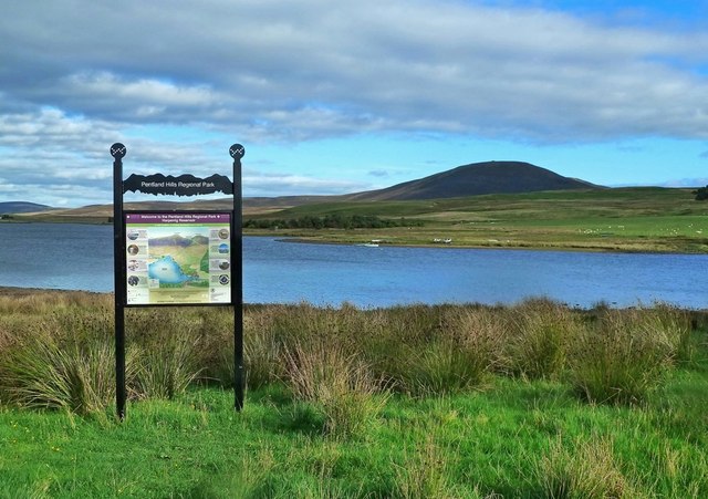
Auchinoon Hill, located in Midlothian, Scotland, is a prominent hill that stands at an elevation of approximately 428 meters (1,404 feet). It is situated about 14 kilometers (9 miles) south of Edinburgh, the country's capital. The hill is part of the broader Pentland Hills range, which is renowned for its picturesque landscapes and diverse flora and fauna.
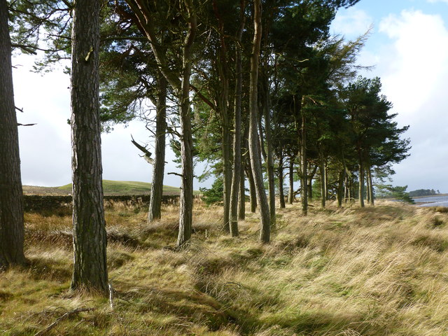
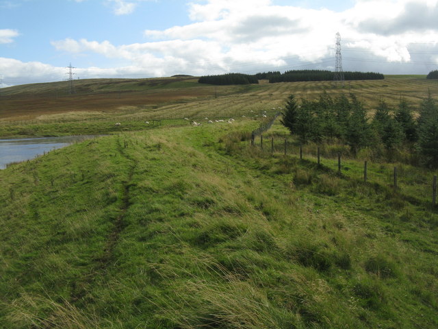
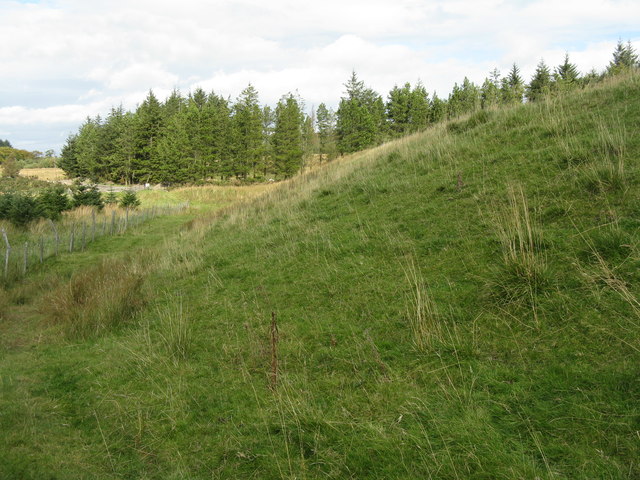
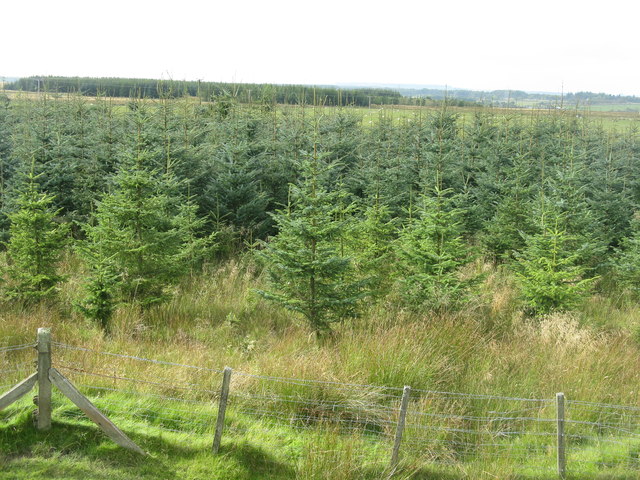
The slopes of Auchinoon Hill are covered in a mix of grasses, heather, and patches of woodland, creating a rich and varied habitat for wildlife. Visitors to the area can expect to encounter a variety of bird species, including buzzards and kestrels, as well as mammals like deer and foxes.
The hill is a popular destination for outdoor enthusiasts, offering numerous walking and hiking trails that cater to all levels of fitness and experience. The panoramic views from the summit are particularly breathtaking, with vistas stretching across the surrounding countryside, including the city of Edinburgh and the Firth of Forth.
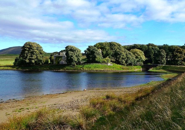
Historically, Auchinoon Hill has been used for agricultural purposes, with evidence of old farming settlements and field boundaries still visible in certain areas. The hill also holds archaeological importance, with traces of prehistoric settlements and ancient burial sites discovered in the vicinity.
Overall, Auchinoon Hill is a captivating natural landmark that provides a tranquil escape from urban life, offering visitors a chance to immerse themselves in Scotland's stunning countryside while exploring its rich history and biodiversity.
If you have any feedback on the listing, please let us know in the comments section below.
Auchinoon Hill Images
Images are sourced within 2km of 55.847269/-3.4497388 or Grid Reference NT0962. Thanks to Geograph Open Source API. All images are credited.
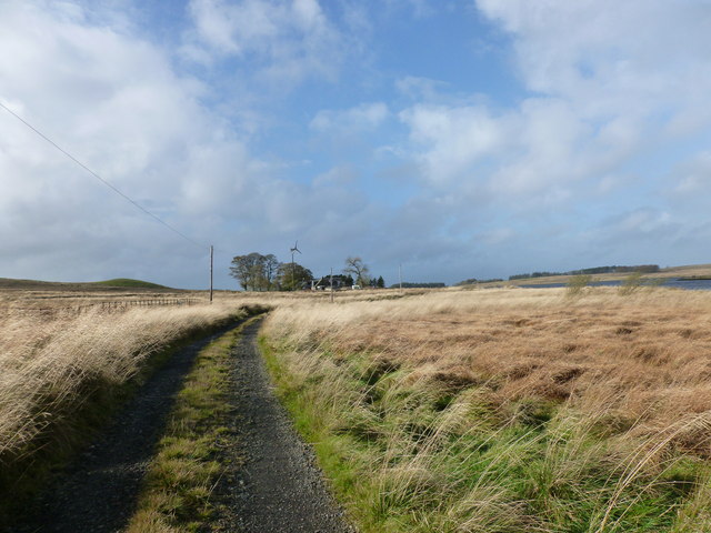
![Leyden farm from Selm Muir Identified on the map as Leyden Old House. An upland farm [about 250 m a.s.l.] in the northern foothills of the Pentlands, as seen from the track into Selm Muir Wood from Leyden Road.](https://s2.geograph.org.uk/geophotos/02/33/85/2338554_51c515e7.jpg)
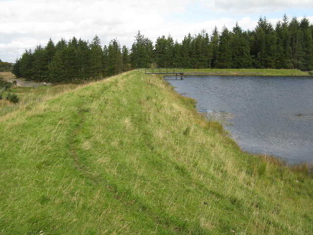
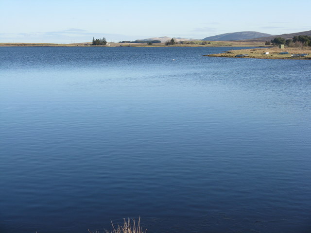
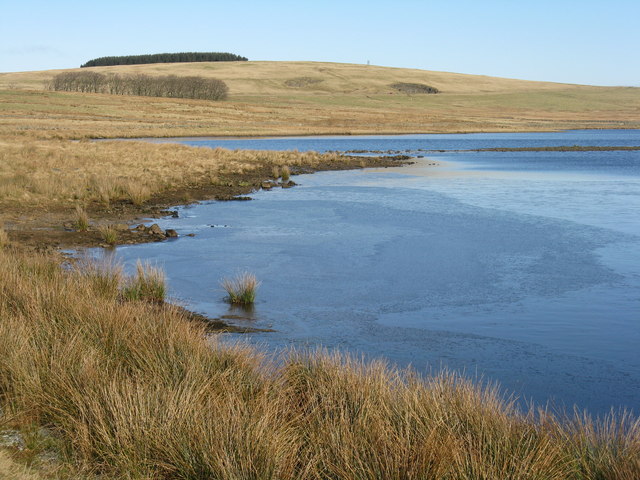
![Morton Reservoir The smaller and higher of two reservoirs of that name in the valley of the Morton Burn, which drains Corston Hill [left] and Auchinoon Hill [right]. For winter view from the same place see Callum Black&#039;s view from six years before <a href="https://www.geograph.org.uk/photo/90274">NT0762 : Morton Reservoir</a>. It is used as a fishery.](https://s3.geograph.org.uk/geophotos/02/61/82/2618271_fee8b173.jpg)
Auchinoon Hill is located at Grid Ref: NT0962 (Lat: 55.847269, Lng: -3.4497388)
Unitary Authority: West Lothian
Police Authority: The Lothians and Scottish Borders
What 3 Words
///deprive.prevented.cuff. Near Kirknewton, West Lothian
Nearby Locations
Related Wikis

Harperrig Reservoir
Harperrig Reservoir is a reservoir in West Lothian, Scotland, to the north of the Pentland Hills, four miles (6.4 km) south of Mid Calder. The Water of...
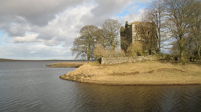
Cairns Castle
Cairns Castle is a ruined keep, dating from the 15th century. It is located on the northern slope of the Pentland Hills, around 6.5 miles (10.5 km) south...

Morton, West Lothian
Morton is a locality in the parish of Kirknewton, in West Lothian, Scotland.The locality has given its name to Morton Hill, Morton Burn and Upper and Lower...
Ritchie Camp
Ritchie Camp was a military base located near Kirknewton, West Lothian in Scotland. == History == Ritchie Camp was initially established during World War...

Murieston
Murieston (From Muir (moor) of Houstoun) is a primarily residential district on the southern edge of Livingston, West Lothian, Scotland. It lies to the...

Livingston South railway station
Livingston South railway station is one of two railway stations serving Livingston in West Lothian, Scotland. It is located on the Shotts Line, 14 miles...

Cauldstane Slap
Cauldstane Slap is a pass located in the Pentland Hills of Scotland. It marks the border between the neighboring council areas of West Lothian and Scottish...

West Cairn Hill
West Cairn Hill is a hill in the Pentland Hills range of Scotland. With a height of 562 m (1,844 ft), it is the fifth highest elevation and lies on the...
Nearby Amenities
Located within 500m of 55.847269,-3.4497388Have you been to Auchinoon Hill?
Leave your review of Auchinoon Hill below (or comments, questions and feedback).