An Socach

Hill, Mountain in Aberdeenshire

Scotland

An Socach

Southern slopes of An Socach A view of Loch Vrotachan in the background.
Southern slopes of An Socach Credit: Richard Webb

An Socach is a prominent hill located in Aberdeenshire, Scotland. Standing at a height of 944 meters (3,097 feet), it is classified as a Munro, which means it is one of the 282 mountains in Scotland with a summit above 3,000 feet.

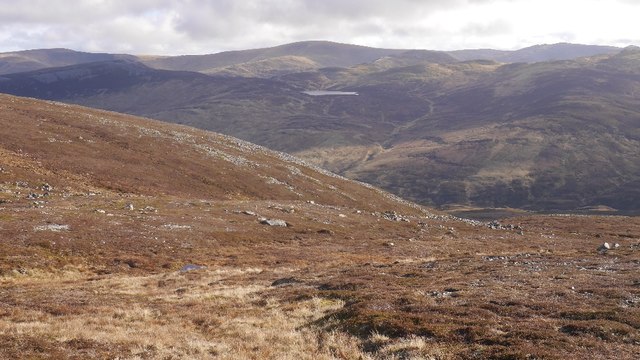
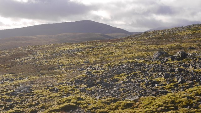
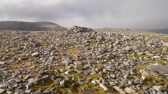
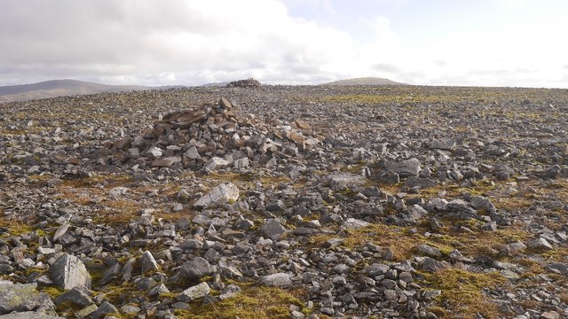
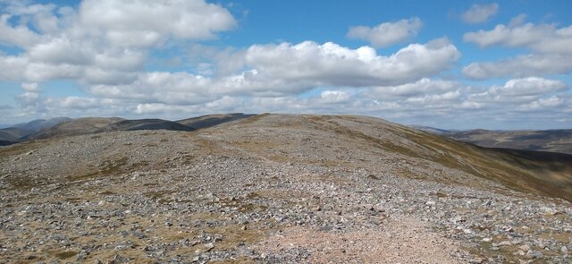
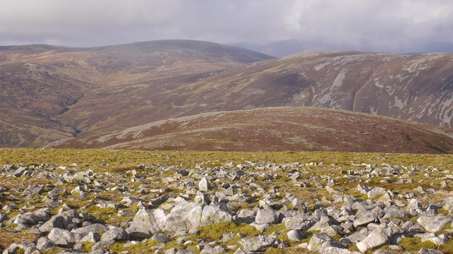
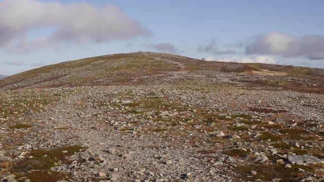
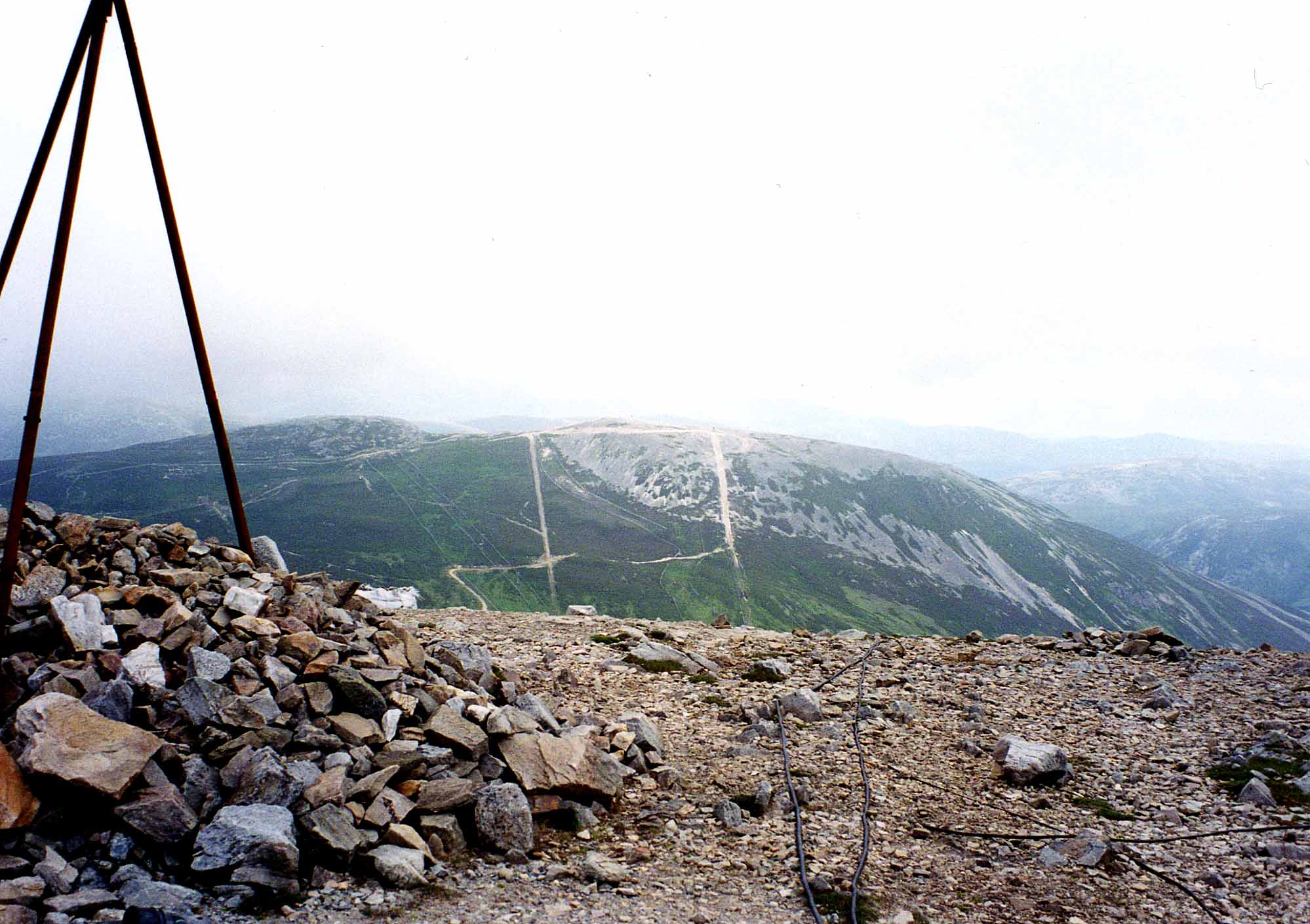
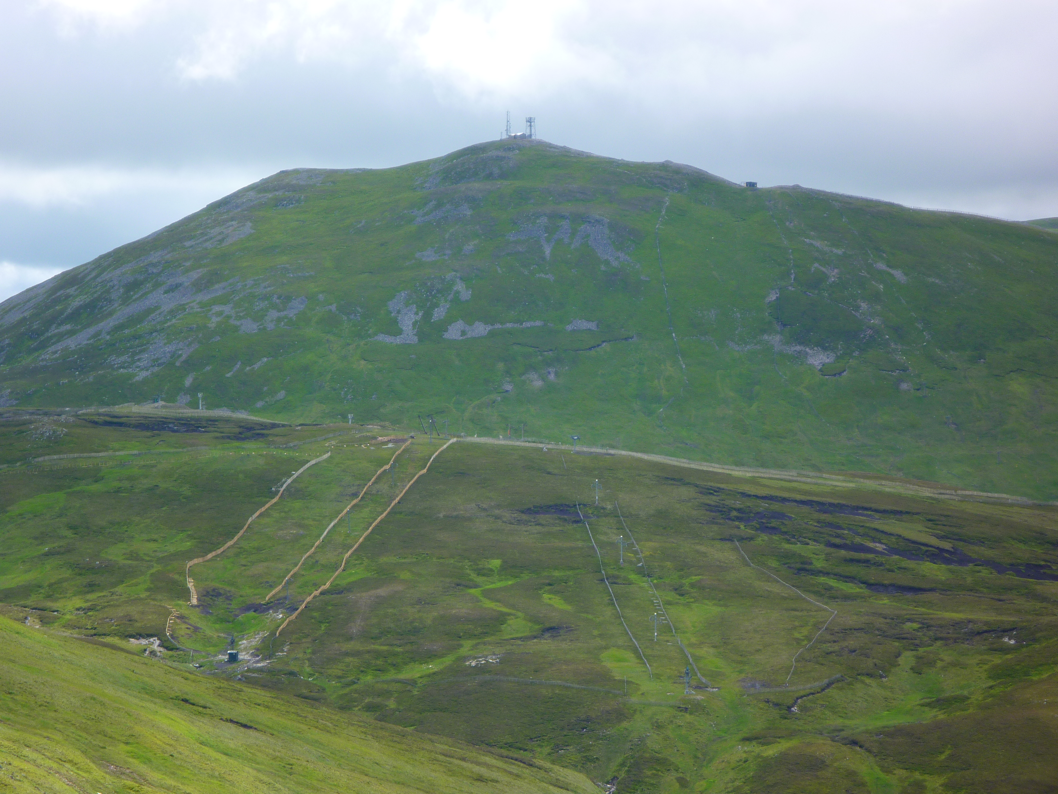
Situated in the eastern Cairngorms, An Socach offers breathtaking views of the surrounding area. It is part of a range of hills known as the White Mounth, which includes other notable peaks such as Lochnagar and Broad Cairn. The hill is composed mainly of granite, giving it a distinctive rocky appearance.

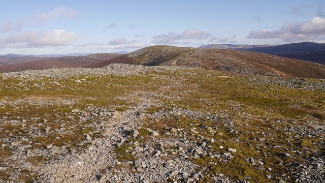
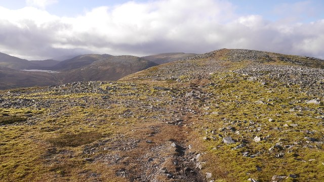
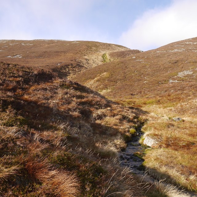
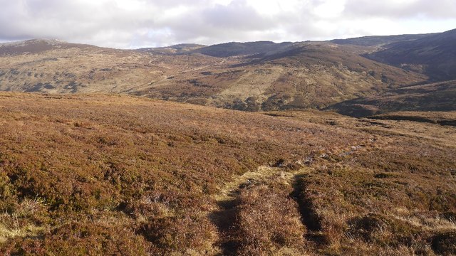
The ascent of An Socach is a popular hiking route for outdoor enthusiasts, offering a challenging yet rewarding experience. The most common starting point is the small village of Ballater, from where walkers can follow the path through beautiful moorland and heather-clad slopes. Along the way, hikers may encounter various wildlife species such as red deer, mountain hares, and golden eagles.

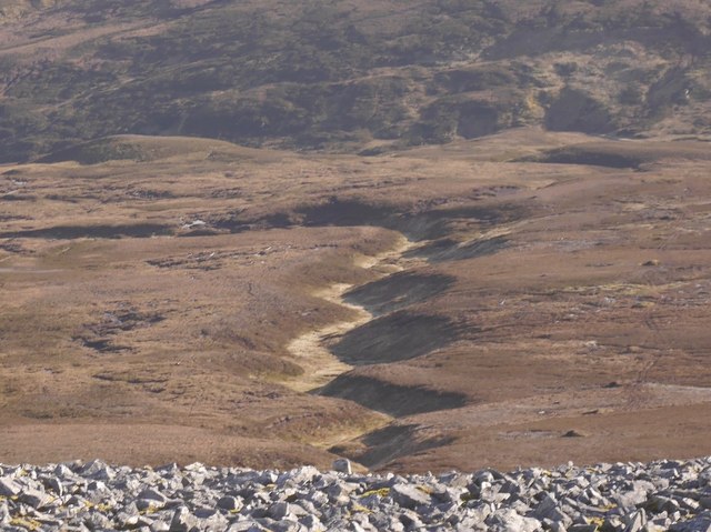
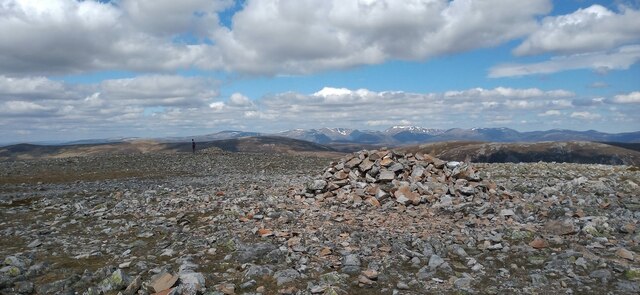
The summit of An Socach provides panoramic views of the Cairngorms National Park, with its rugged peaks, deep glens, and sparkling lochs. On a clear day, it is even possible to see as far as the Grampian Mountains to the west and the North Sea to the east.

Due to its remote location and challenging terrain, it is recommended that hikers come prepared with appropriate clothing, equipment, and navigation skills. An Socach offers a memorable outdoor experience for those seeking a rugged and wild landscape in the heart of Aberdeenshire.

If you have any feedback on the listing, please let us know in the comments section below.
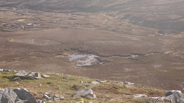
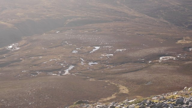
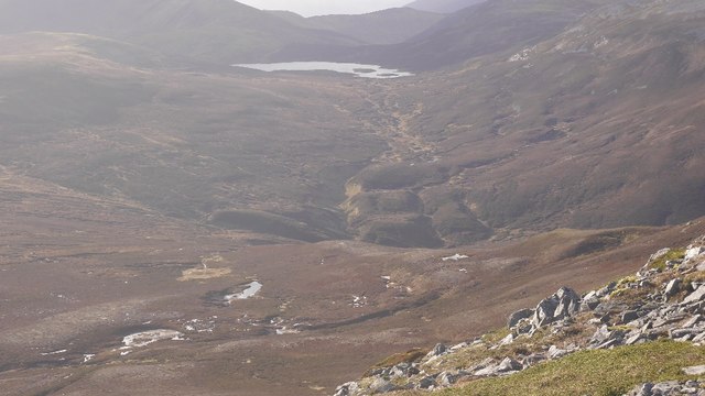
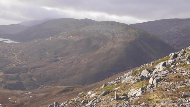
An Socach Images

Images are sourced within 2km of 56.901958/-3.5125294 or Grid Reference NO0779. Thanks to Geograph Open Source API. All images are credited.

Southern slopes of An Socach A view of Loch Vrotachan in the background.
Southern slopes of An Socach
A view of Loch Vrotachan in the background.
Quartzite strewn across An Socach An Socach is covered in frost shattered quartzite, often moss covered.
Quartzite strewn across An Socach
An Socach is covered in frost shattered quartzite, often moss covered.
Summit ridge, An Socach 2km of wide, flat ridge between the two tops.  Looking towards the eastern top.
Summit ridge, An Socach
2km of wide, flat ridge between the two tops. Looking towards the eastern top.
An Socach (Mar) There are a few An Socachs in the Highlands, three of them in Munro's Tables. (One is also called Meall a' Chraisg which could reduce confusion).  This one is in the rolling hill country at the head of Glen Ey, south of Braemar and like its neighbours has a quartzite cap. The rock is frost shattered giving angular boulder fields, but the walking is easy, this is no Schiehallion or Sgùrr Bàn.  The highest point is at the western end, switching the original Munro's tables which had the eastern top as the highest. 
The hill is often done from the Baddoch Glen, but can also be visited from Glen Ey.  Apart from it not being exactly a roadside hill, this is one of the easier munros.

This is the ridge to the east of the main top with Loch an Eun in the background.
An Socach (Mar)
There are a few An Socachs in the Highlands, three of them in Munro's Tables. (One is also called Meall a' Chraisg which could reduce confusion). This one is in the rolling hill country at the head of Glen Ey, south of Braemar and like its neighbours has a quartzite cap. The rock is frost shattered giving angular boulder fields, but the walking is easy, this is no Schiehallion or Sgùrr Bàn. The highest point is at the western end, switching the original Munro's tables which had the eastern top as the highest. The hill is often done from the Baddoch Glen, but can also be visited from Glen Ey. Apart from it not being exactly a roadside hill, this is one of the easier munros. This is the ridge to the east of the main top with Loch an Eun in the background.
Peat pool, Baddoch Glen Bogs beneath An Socach.
Peat pool, Baddoch Glen
Bogs beneath An Socach.
Bog beneath An Socach A boggy col at the head of the Baddoch Glen. Fortunately the only time that I have crossed it was on skis.
Bog beneath An Socach
A boggy col at the head of the Baddoch Glen. Fortunately the only time that I have crossed it was on skis.
Allt Cac Dubh Draining into Glen Ey.  Not sure which way Loch an Eun normally drains. Into Glen Ey, or Glen Taitnaich.  Anyone walking the area in the wet will appreciate the name.
Allt Cac Dubh
Draining into Glen Ey. Not sure which way Loch an Eun normally drains. Into Glen Ey, or Glen Taitnaich. Anyone walking the area in the wet will appreciate the name.
Beinn Iutharn Bheag View from An Socach of one of Sir Hugh's originals, downgraded to a top in the 1920s.  I've been up there, but it was full on snow, so did not return with a photo.
Beinn Iutharn Bheag
View from An Socach of one of Sir Hugh's originals, downgraded to a top in the 1920s. I've been up there, but it was full on snow, so did not return with a photo.
An Socach The summit ridge, not far east of the higher west top.

There are a few An Socachs in the Highlands, three of them in Munro's Tables. (One is also called Meall a' Chraisg which could reduce confusion).  This one is in the rolling hill country at the head of Glen Ey, south of Braemar and like its neighbours has a quartzite cap. The rock is frost shattered giving angular boulder fields, but the walking is easy, this is no Schiehallion or Sgùrr Bàn.  The highest point is at the western end, switching the original Munro's tables which had the eastern top as the highest. 
The hill is often done from the Baddoch Glen, but can also be visited from Glen Ey.  Apart from it not being exactly a roadside hill, this is one of the easier munros.
An Socach
The summit ridge, not far east of the higher west top. There are a few An Socachs in the Highlands, three of them in Munro's Tables. (One is also called Meall a' Chraisg which could reduce confusion). This one is in the rolling hill country at the head of Glen Ey, south of Braemar and like its neighbours has a quartzite cap. The rock is frost shattered giving angular boulder fields, but the walking is easy, this is no Schiehallion or Sgùrr Bàn. The highest point is at the western end, switching the original Munro's tables which had the eastern top as the highest. The hill is often done from the Baddoch Glen, but can also be visited from Glen Ey. Apart from it not being exactly a roadside hill, this is one of the easier munros.
An Socach summit cairn A very flat moss and quartzite summit, but the view is very fine.

There are a few An Socachs in the Highlands, three of them in Munro's Tables. (One is also called Meall a' Chraisg which could reduce confusion).  This one is in the rolling hill country at the head of Glen Ey, south of Braemar and like its neighbours has a quartzite cap. The rock is frost shattered giving angular boulder fields, but the walking is easy, this is no Schiehallion or Sgùrr Bàn.  The highest point is at the western end, switching the original Munro's tables which had the eastern top as the highest. 
The hill is often done from the Baddoch Glen, but can also be visited from Glen Ey.  Apart from it not being exactly a roadside hill, this is one of the easier munros.
An Socach summit cairn
A very flat moss and quartzite summit, but the view is very fine. There are a few An Socachs in the Highlands, three of them in Munro's Tables. (One is also called Meall a' Chraisg which could reduce confusion). This one is in the rolling hill country at the head of Glen Ey, south of Braemar and like its neighbours has a quartzite cap. The rock is frost shattered giving angular boulder fields, but the walking is easy, this is no Schiehallion or Sgùrr Bàn. The highest point is at the western end, switching the original Munro's tables which had the eastern top as the highest. The hill is often done from the Baddoch Glen, but can also be visited from Glen Ey. Apart from it not being exactly a roadside hill, this is one of the easier munros.
Cairns, An Socach A pair of cairns on the west top of the Mar An Socach. The distant cairn is the summit.
Cairns, An Socach
A pair of cairns on the west top of the Mar An Socach. The distant cairn is the summit.
Allt Boruiche A burn cuts down below peat covered glacial deposits.  A view from An Socach.
Allt Boruiche
A burn cuts down below peat covered glacial deposits. A view from An Socach.
Allt Boruiche A burn flowing south off An Socach.  This is one of the usual routes on or off the hill.
Allt Boruiche
A burn flowing south off An Socach. This is one of the usual routes on or off the hill.
All terrain vehicle track, An Socach Descent into the Baddoch Glen. Things get very boggy further down.
All terrain vehicle track, An Socach
Descent into the Baddoch Glen. Things get very boggy further down.
An Socach summit ridge The final push to the summit of the Munro along the stone covered ridge.
An Socach summit ridge
The final push to the summit of the Munro along the stone covered ridge.
Cairn on An Socach One of two cairns on the summit area of the Munro. The app on my phone was happier with the cairn in the background to the left as being the actual summit.
Cairn on An Socach
One of two cairns on the summit area of the Munro. The app on my phone was happier with the cairn in the background to the left as being the actual summit.
View from the east top of An Socach A view across Glen Ey towards Carn Bhac.
View from the east top of An Socach
A view across Glen Ey towards Carn Bhac.
An Socach East Top A path, more a removal of moss from the quartzite blocks, between the summits of An Socach. The eastern top used to be thought the highest, but when the Ordnance Survey made the 1:25,000 maps the west top was found to be a few metres higher.
An Socach East Top
A path, more a removal of moss from the quartzite blocks, between the summits of An Socach. The eastern top used to be thought the highest, but when the Ordnance Survey made the 1:25,000 maps the west top was found to be a few metres higher.
Show me another place!

An Socach is located at Grid Ref: NO0779 (Lat: 56.901958, Lng: -3.5125294)

Unitary Authority: Aberdeenshire

Police Authority: North East

What 3 Words

///texts.hiking.corkscrew. Near Inverey, Aberdeenshire

Nearby Locations

An Socach

Related Wikis

Nearby Amenities

Located within 500m of 56.901958,-3.5125294
An Socach
Description: The beak or snout
Ele: 944
Marilyn: yes
Munro: yes
Munro Number: M227
Natural: peak
Prominence: 188
Source: NPE
Wikidata: Q4750222
Wikipedia: en:An Socach (Glen Ey)
Lat/Long: 56.9020207/-3.5125139
Man Made: cairn
Lat/Long: 56.9022832/-3.5131872
The data included in this document is from www.openstreetmap.org. The data is made available under ODbL.

Have you been to An Socach?

Leave your review of An Socach below (or comments, questions and feedback).