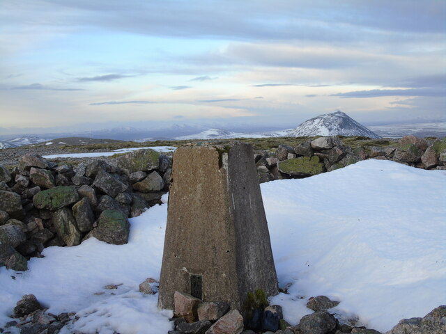
East Scaraben

Hill, Mountain in Caithness

Scotland

East Scaraben

Stream flowing down northern side of Scaraben The land drops away to the road end at Braemore. The flat landscape of the flow country is in the distance.
Stream flowing down northern side of Scaraben Credit: Andrew Spenceley

The requested URL returned error: 429 Too Many Requests

If you have any feedback on the listing, please let us know in the comments section below.

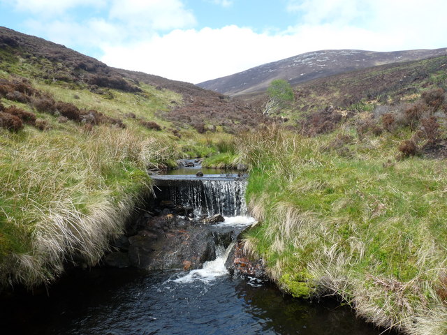
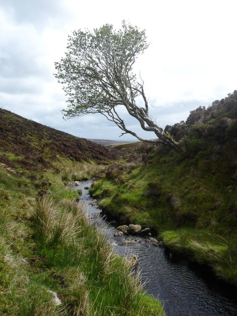
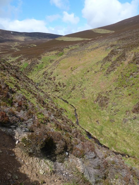
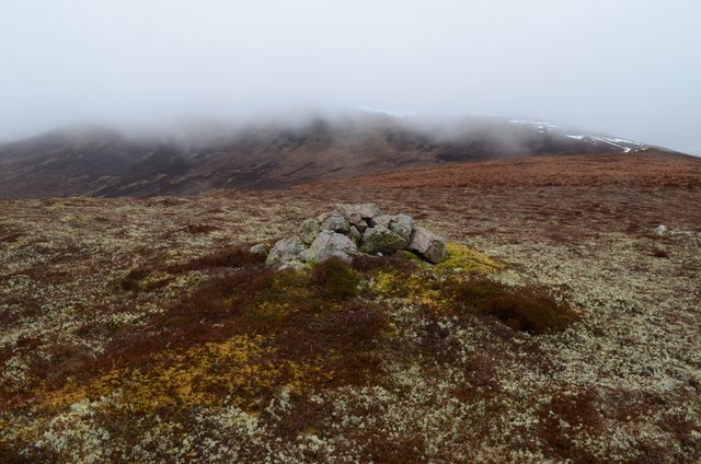
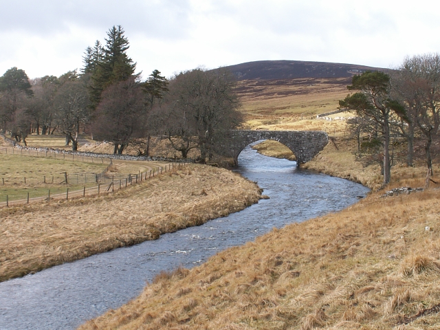
East Scaraben Images

Images are sourced within 2km of 58.22475/-3.5684429 or Grid Reference ND0727. Thanks to Geograph Open Source API. All images are credited.

Stream flowing down northern side of Scaraben The land drops away to the road end at Braemore. The flat landscape of the flow country is in the distance.
Stream flowing down northern side of Scaraben
The land drops away to the road end at Braemore. The flat landscape of the flow country is in the distance.
Summit cairn, East Scaraben Looking towards Scaraben.
Summit cairn, East Scaraben
Looking towards Scaraben.
The Dun Burn Looking northwest towards East Scaraben.
The Dun Burn
Looking northwest towards East Scaraben.
The Dun Burn
The Dun Burn
Aircraft crash site, East Scaraben An Armstrong Whitworth Whitley twin engine bomber crashed to the northeast of the summit of East Scaraben on 1st May 1941.  There are parts of the aircraft and lumps of molten aluminium in the crater shown.  Other debris can be found up to 100m away.  Further information is at <span class="nowrap"><a title="http://her.highland.gov.uk/SingleResult.aspx?uid=MHG30818" rel="nofollow ugc noopener" href="http://her.highland.gov.uk/SingleResult.aspx?uid=MHG30818">Link</a><img style="margin-left:2px;" alt="External link" title="External link - shift click to open in new window" src="https://s1.geograph.org.uk/img/external.png" width="10" height="10"/></span>.
Aircraft crash site, East Scaraben
An Armstrong Whitworth Whitley twin engine bomber crashed to the northeast of the summit of East Scaraben on 1st May 1941. There are parts of the aircraft and lumps of molten aluminium in the crater shown. Other debris can be found up to 100m away. Further information is at LinkExternal link.
Tributary of Berriedale Water The burn flows down into Berriedale Water which can just be seen below at the foot of Cnoc na Feadaige.
Tributary of Berriedale Water
The burn flows down into Berriedale Water which can just be seen below at the foot of Cnoc na Feadaige.
The Forkin Looking towards East Scaraben (left) and Meall na Caorach (right).
The Forkin is a ravine approximately 800m long through which a tributary of the <a href="https://www.geograph.org.uk/photo/2413667">ND0925 : Dun Burn</a> flows.
The Forkin
Looking towards East Scaraben (left) and Meall na Caorach (right). The Forkin is a ravine approximately 800m long through which a tributary of the ND0925 : Dun Burn flows.
Heather moorland north of Scaraben Dramatic lighting on the heather moor with Morven and Maiden Pap seen distantly.
Heather moorland north of Scaraben
Dramatic lighting on the heather moor with Morven and Maiden Pap seen distantly.
Heather moorland slope on north side of Scaraben/East Scaraben Relatively gentle heather slopes descend from below the col between Scaraben and East Scaraben; Maiden Pap is the striking mountain beyond.
Heather moorland slope on north side of Scaraben/East Scaraben
Relatively gentle heather slopes descend from below the col between Scaraben and East Scaraben; Maiden Pap is the striking mountain beyond.
Summit area of Scaraben west of summit The summit area of Scaraben is covered with short grass and areas of stone. Scaraben's west top lies beyond the walker with Morven seen above Smean at the right side of the image.
Summit area of Scaraben west of summit
The summit area of Scaraben is covered with short grass and areas of stone. Scaraben's west top lies beyond the walker with Morven seen above Smean at the right side of the image.
North West top of Meall na Caorach Meall na Caorach has two little cairns. This is the lower one (392 metres) looking towards East Scaraben.
North West top of Meall na Caorach
Meall na Caorach has two little cairns. This is the lower one (392 metres) looking towards East Scaraben.
Aircraft Wreckage on Scaraben A piece of aircraft wreckage lying in the heather on the southern slopes of Scaraben in Caithness.
Aircraft Wreckage on Scaraben
A piece of aircraft wreckage lying in the heather on the southern slopes of Scaraben in Caithness.
Drainage Ditch on Moorland south of Scaraben
Unidentified Structure on Scaraben This small, unidentified structure sits within a fenced enclosure on moorland on the south slopes of Scaraben in Caithness.
Unidentified Structure on Scaraben
This small, unidentified structure sits within a fenced enclosure on moorland on the south slopes of Scaraben in Caithness.
Moorland Pool near Scaraben in Caithness
Small Cairn on Meall na Caorach A small stone Cairn surrounded by brightly coloured moss and lichen on the hill Meall na Caorach (396m) in Caithness.  The larger hill behind is East Scaraben.
Small Cairn on Meall na Caorach
A small stone Cairn surrounded by brightly coloured moss and lichen on the hill Meall na Caorach (396m) in Caithness. The larger hill behind is East Scaraben.
Heading for Scaraben About to cross the Badnachie Burn on the way across very boggy moorland looking to Sron Garbh and a cloud topped Scaraben.
A day of wintry showers and bitter winds on the summits.
Heading for Scaraben
About to cross the Badnachie Burn on the way across very boggy moorland looking to Sron Garbh and a cloud topped Scaraben. A day of wintry showers and bitter winds on the summits.
Triangulation Pillar, Scaraben Primary. S3466. Highest pillar in Caithness.
Triangulation Pillar, Scaraben
Primary. S3466. Highest pillar in Caithness.
Show me another place!

East Scaraben is located at Grid Ref: ND0727 (Lat: 58.22475, Lng: -3.5684429)

Unitary Authority: Highland

Police Authority: Highlands and Islands

What 3 Words

///crunch.excavate.singer. Near Dunbeath, Highland

Nearby Locations

East Scaraben

Related Wikis

Scaraben

Scaraben (626 m) is a hill in the Northwest Highlands of Scotland. It lies in the Caithness region, in the far north. Taking the form of a long ridge over...

Braemore

Braemore (Scottish Gaelic: Am Bràigh Mòr) is a location in Berriedale in the Highland council area of Scotland. It can be approached from the A9 road at...

Dunbeath air crash

The Dunbeath air crash involved the loss of a Short S.25 Sunderland Mk. III that crashed in the Scottish Highlands on a headland known as Eagle's Rock...

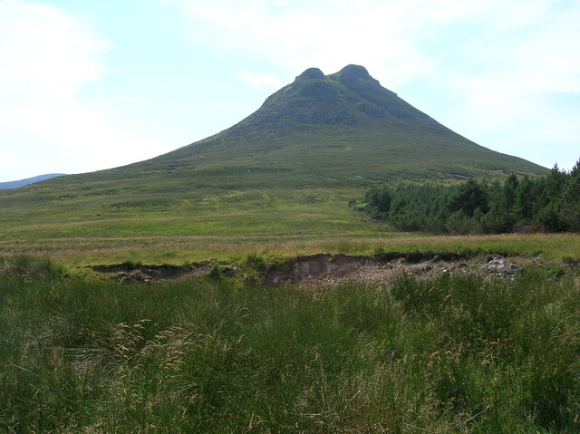
Maiden Pap, Caithness

The Maiden Pap is a hill located in Caithness, Scotland. It is an inselberg, formed of Devonian conglomerates, rising steeply out of the surrounding plain...

Nearby Amenities

Located within 500m of 58.22475,-3.5684429
East Scaraben
Ele: 591
Natural: peak
Source: GPS
Source Name: OS_Opendata_Streetview
Lat/Long: 58.2246961/-3.5684567
The data included in this document is from www.openstreetmap.org. The data is made available under ODbL.

Have you been to East Scaraben?

Leave your review of East Scaraben below (or comments, questions and feedback).