Ty-ar-y-Graig
Hill, Mountain in Montgomeryshire
Wales
Ty-ar-y-Graig

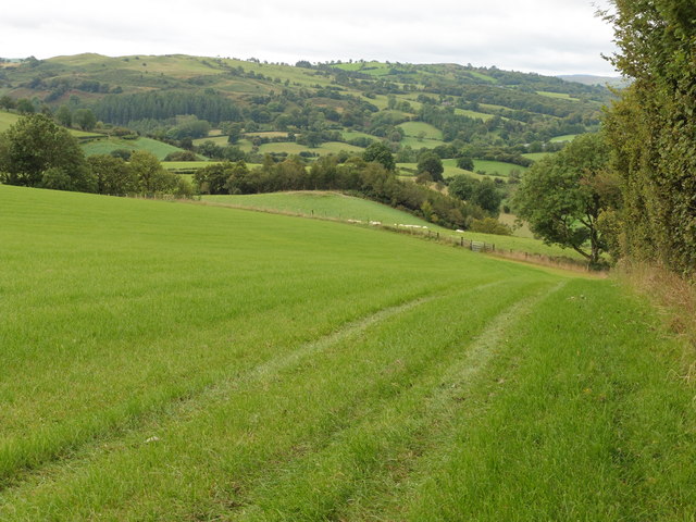
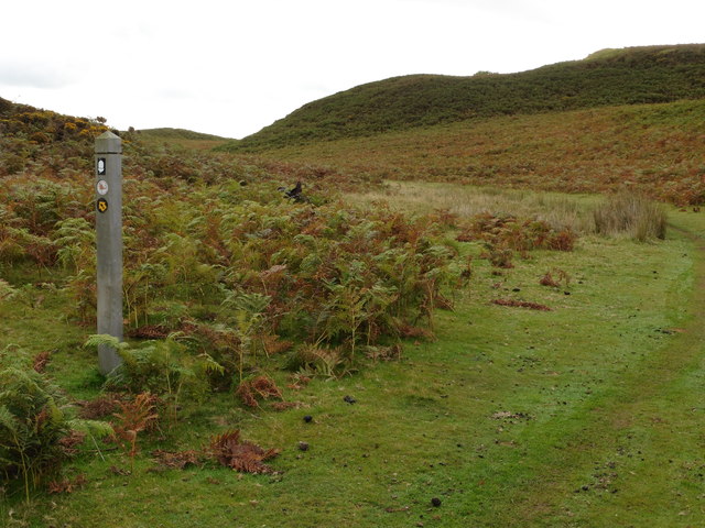
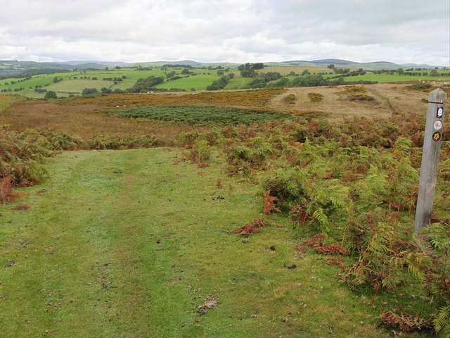
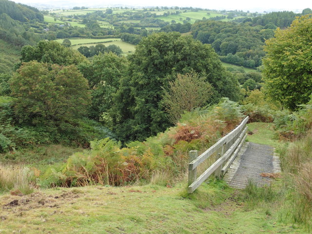
Ty-ar-y-Graig is a prominent hill located in Montgomeryshire, Wales. Standing at an impressive height of 1,243 feet (379 meters), it offers stunning panoramic views of the surrounding countryside. The hill is a popular destination for hikers and nature enthusiasts, with several walking trails leading to the summit.
Ty-ar-y-Graig is known for its rugged terrain, characterized by rocky outcrops and steep slopes. The hill is covered in lush greenery, with a variety of plant and animal species thriving in its diverse ecosystem. Visitors to the area can expect to encounter a range of wildlife, including birds of prey, deer, and even the occasional sheep grazing on the hillside.
The summit of Ty-ar-y-Graig provides a peaceful and serene setting, perfect for picnicking or simply taking in the breathtaking views. On a clear day, visitors can see for miles around, with rolling hills and valleys stretching out as far as the eye can see.
Overall, Ty-ar-y-Graig is a must-visit destination for those looking to experience the natural beauty and tranquility of Montgomeryshire. Whether you're an avid hiker or simply seeking a peaceful retreat, this hill offers something for everyone to enjoy.
If you have any feedback on the listing, please let us know in the comments section below.
Ty-ar-y-Graig Images
Images are sourced within 2km of 52.723801/-3.3949336 or Grid Reference SJ0514. Thanks to Geograph Open Source API. All images are credited.


Ty-ar-y-Graig is located at Grid Ref: SJ0514 (Lat: 52.723801, Lng: -3.3949336)
Unitary Authority: Powys
Police Authority: Dyfed Powys
What 3 Words
///cheerily.cling.sunset. Near Llangadfan, Powys
Nearby Locations
Related Wikis

Dolanog
Dolanog () or Pont Dolanog is an ecclesiastical parish or chapelry that was formed in October 1856. It comprises the townships of Dolwar in Llanfihangel...

Llwydiarth
Llwydiarth is a small village in Powys, Wales. It is located near Lake Vyrnwy. The village is mostly made up of a caravan park and holiday centre. It does...
Llanfihangel-yng-Ngwynfa
Llanfihangel-yng-Ngwynfa () was a parish within the former historic county of Montgomeryshire. It now forms a major part of the community of Llanfihangel...
Plynlimon and Hafan Tramway
The Plynlimon and Hafan Tramway was a 2 ft 3 in (686 mm) gauge narrow gauge railway in Cardiganshire (now Ceredigion) in Mid Wales. It ran from Llanfihangel...
Nearby Amenities
Located within 500m of 52.723801,-3.3949336Have you been to Ty-ar-y-Graig?
Leave your review of Ty-ar-y-Graig below (or comments, questions and feedback).