Badlieu Rig
Hill, Mountain in Peeblesshire
Scotland
Badlieu Rig
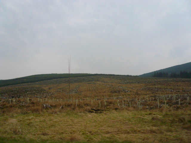
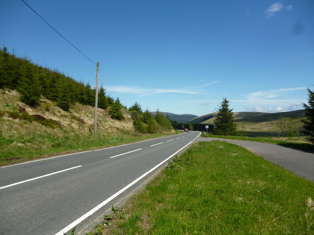
Badlieu Rig is a prominent hill located in Peeblesshire, a historic county in Scotland. With an elevation of approximately 571 meters (1,873 feet), it is considered one of the notable hills in the region. Situated in the southern part of the county, Badlieu Rig is part of the Moorfoot Hills range, which stretches across the Scottish Borders.
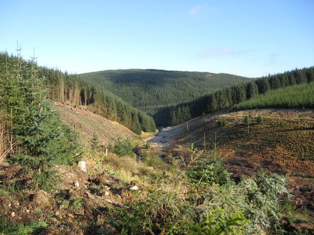
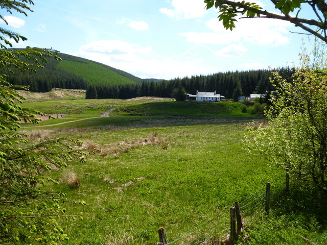
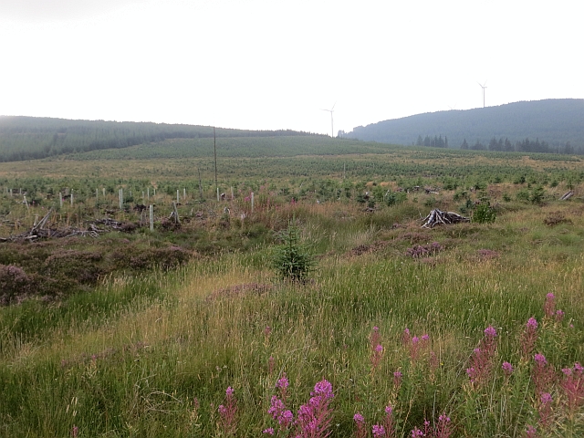
The hill is characterized by its distinctive rounded shape and its position within a picturesque landscape. It is covered in heather and grass, with scattered patches of woodland dotting its slopes. The summit offers breathtaking panoramic views of the surrounding countryside, including the rolling hills, valleys, and nearby towns.
Badlieu Rig attracts outdoor enthusiasts and nature lovers who enjoy hiking and hillwalking. There are several well-marked trails leading to the summit, which vary in difficulty and length, catering to both experienced hikers and casual walkers. The hill is also a popular destination for birdwatching, with various species of birds, including raptors, being spotted in the area.
Due to its location within Peeblesshire, Badlieu Rig is easily accessible by road from nearby towns and villages. Visitors can enjoy the tranquility and beauty of the hill, immersing themselves in the natural surroundings and taking in the stunning vistas. Whether it is for a leisurely walk or a challenging hike, Badlieu Rig offers a memorable experience for those seeking to explore the Scottish countryside.
If you have any feedback on the listing, please let us know in the comments section below.
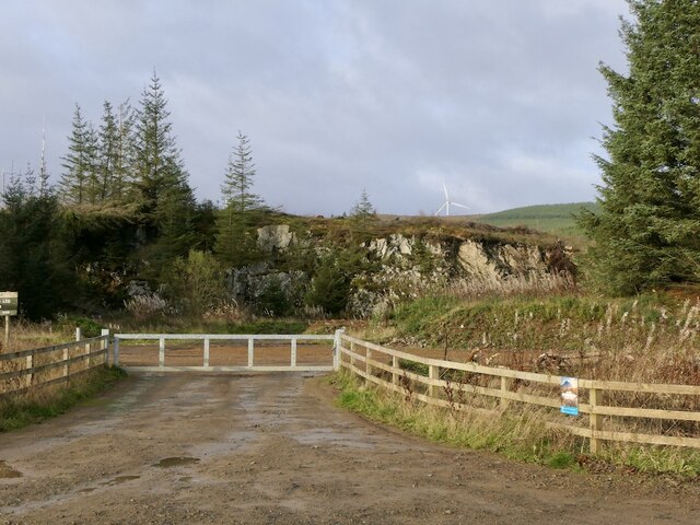
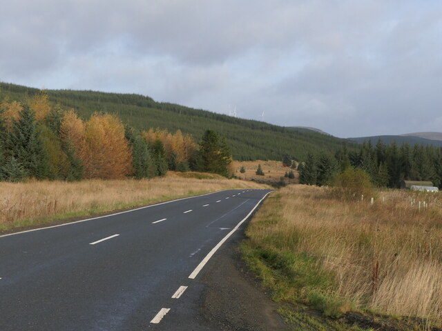
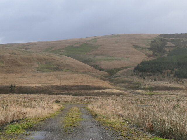
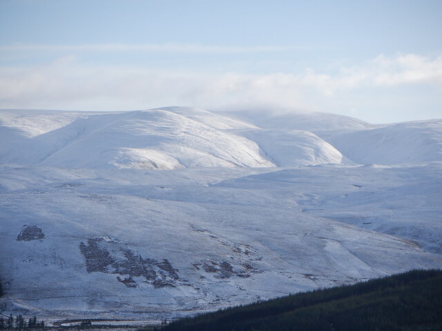
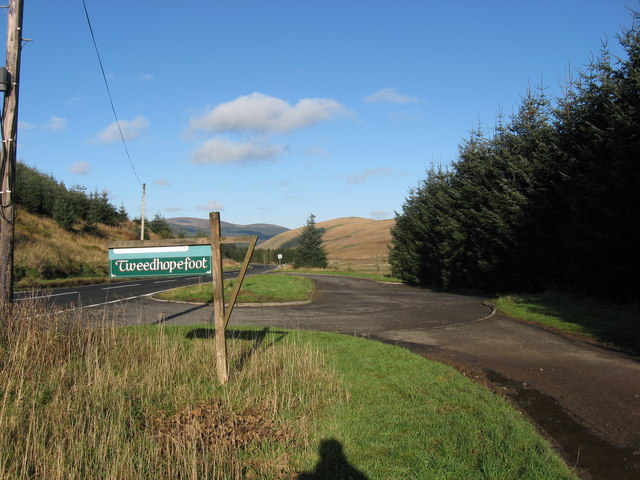
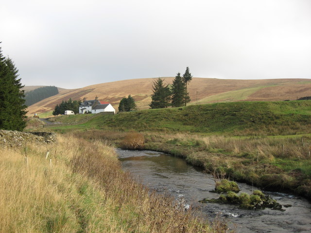
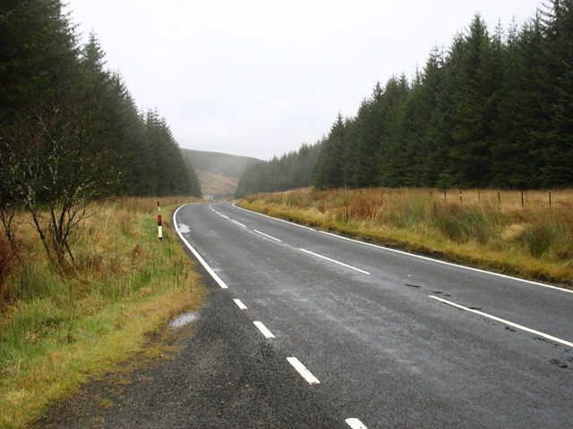
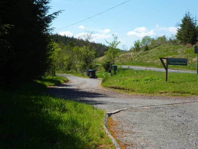
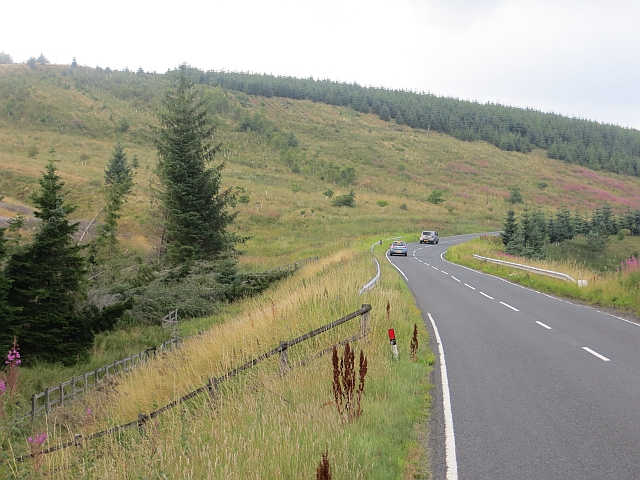
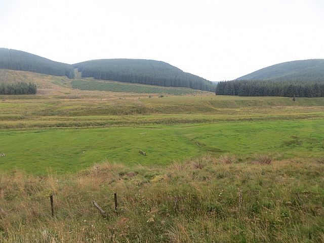
Badlieu Rig Images
Images are sourced within 2km of 55.444684/-3.5071712 or Grid Reference NT0417. Thanks to Geograph Open Source API. All images are credited.
Badlieu Rig is located at Grid Ref: NT0417 (Lat: 55.444684, Lng: -3.5071712)
Unitary Authority: The Scottish Borders
Police Authority: The Lothians and Scottish Borders
What 3 Words
///universes.timed.toffee. Near Moffat, Dumfries & Galloway
Nearby Locations
Related Wikis

Annanhead Hill
Annanhead Hill is a 478-metre (1,568 ft) summit in the Moffat Hills of Scotland. It lies on the boundary between the Scottish Borders and Dumfries and...

Fruid Reservoir
Fruid is a small reservoir in the Scottish Borders area of Scotland, UK, near Menzion. It is formed by damming the Fruid Water, and supplements the contents...

Devil's Beef Tub
The Devil's Beef Tub (Marquis of Annandale's Beef-Tub, Beef-Stand, MacCleran's Loup) is a deep, dramatic hollow in the hills north of the Scottish town...

Hawkshaw, Scottish Borders
Hawkshaw is a pair of semi-detached houses on the River Tweed, two miles southwest of Tweedsmuir in the Scottish Borders. Historically part of Peeblesshire...

Fruid Water
Fruid Water is a river in the Scottish Borders area of Scotland. The valley it occupies has been dammed to form the Fruid Reservoir. The river is a tributary...
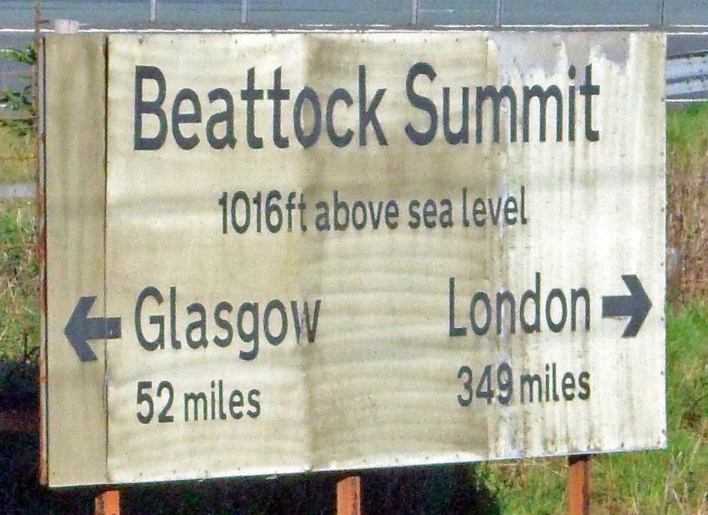
Beattock Summit
Beattock Summit is the highest point of the West Coast Main Line (WCML) railway and of the A74(M) motorway as they cross between Dumfries and Galloway...

Menzion
Menzion, sometimes Minzion is a small settlement in southern Scotland near Tweedsmuir in the Scottish Borders, in the valley of the River Tweed. ��2...

Crown of Scotland (hill)
The Crown of Scotland is a hill in the Scottish Borders, Scotland. At a relatively small elevation from the surrounding peaks, it is situated to the north...
Nearby Amenities
Located within 500m of 55.444684,-3.5071712Have you been to Badlieu Rig?
Leave your review of Badlieu Rig below (or comments, questions and feedback).