Gallows Knowe

Hill, Mountain in Perthshire

Scotland

Gallows Knowe

Bridge carrying the B935 over the Water of May
Bridge carrying the B935 over the Water of May Credit: Gordon Brown

Gallows Knowe is a prominent hill located in Perthshire, Scotland. Situated near the town of Crieff, it forms part of the picturesque Strathearn Valley. Rising to an elevation of approximately 1,200 feet (366 meters), Gallows Knowe offers stunning panoramic views of the surrounding countryside and is a popular destination for hikers and nature enthusiasts.

Covered in heather and grasses, the hill is known for its rugged terrain, with steep slopes and rocky outcrops adding to its character. The hill's name is derived from its historical association with public executions, which were carried out here in the past. Although this dark history may be unsettling for some, today the hill is a peaceful and tranquil spot, attracting visitors who come to enjoy its natural beauty and peaceful ambiance.

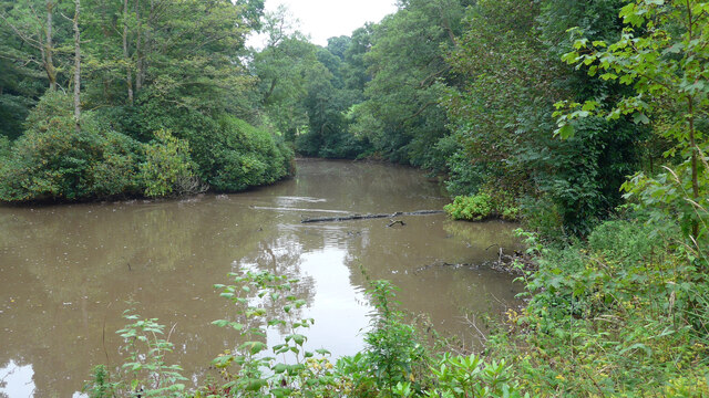
The climb to the summit of Gallows Knowe is moderately challenging, but the effort is rewarded with breathtaking vistas of the rolling hills, woodlands, and the meandering River Earn below. On a clear day, it is even possible to see as far as the distant peaks of the Grampian Mountains to the north.

The area surrounding Gallows Knowe is rich in wildlife, with frequent sightings of red deer, mountain hares, and a variety of bird species. Visitors often take the opportunity to explore the nearby woodlands and picturesque trails, further enhancing their experience of this beautiful part of Scotland.

Overall, Gallows Knowe offers both natural beauty and a glimpse into the region's history, making it a must-visit destination for those seeking outdoor adventures and cultural insights in Perthshire.

If you have any feedback on the listing, please let us know in the comments section below.

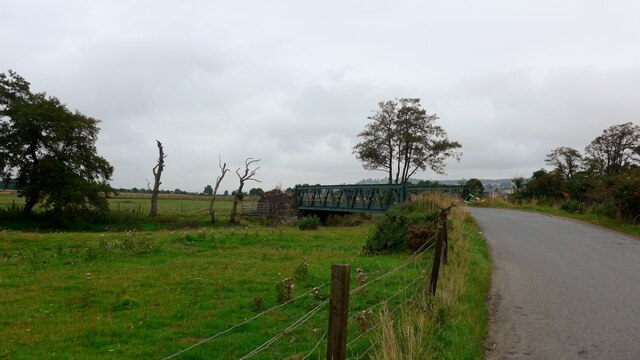
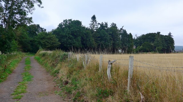
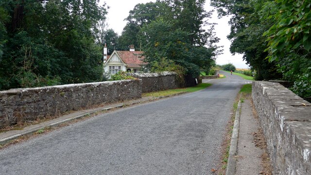
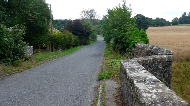
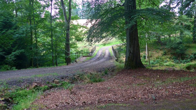
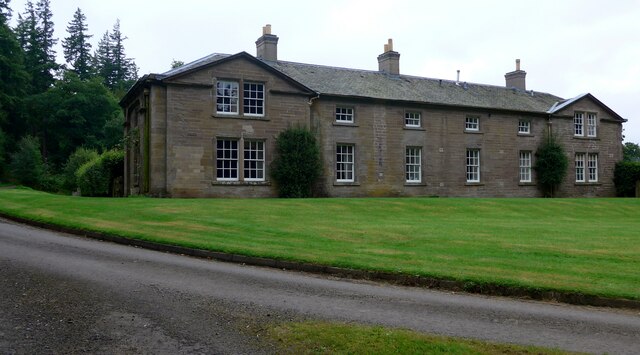
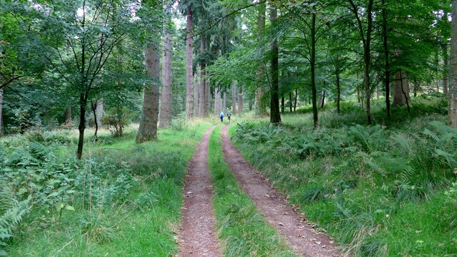
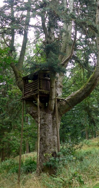
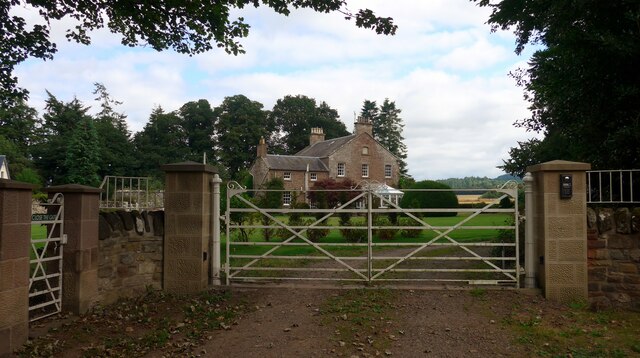
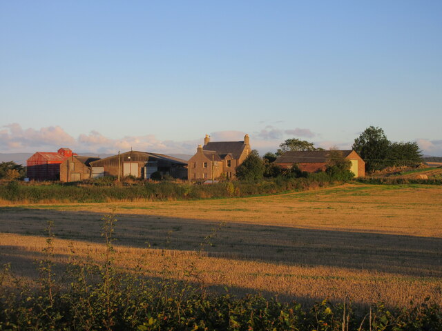
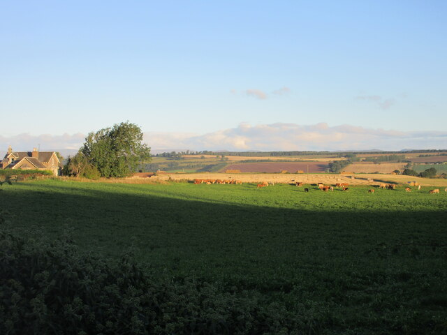
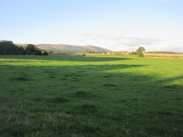
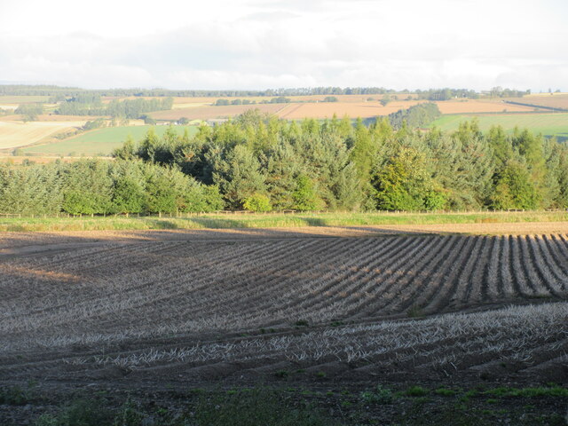
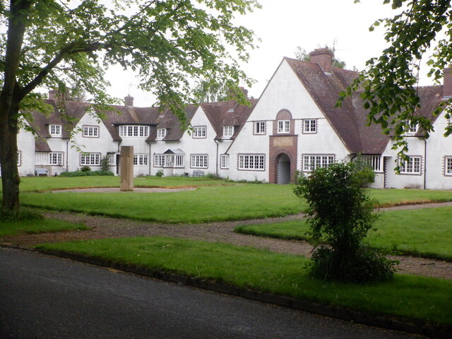
Gallows Knowe Images

Images are sourced within 2km of 56.328053/-3.5421338 or Grid Reference NO0416. Thanks to Geograph Open Source API. All images are credited.

Bridge carrying the B935 over the Water of May
The track leading south from Forteviot kirk The barley in the field to the right is very close to being ready for harvest.
The track leading south from Forteviot kirk
The barley in the field to the right is very close to being ready for harvest.
A minor road crosses the Water of May at North Lodge
Bridge over the Water of May at Green of Invermay
Estate bridge over the Water of May The OS mapping is a little confused here:  this is the downstream (westward) of the two bridges and is the one in use.  The upstream (eastward) bridge is unsafe and fenced off.  All the OS mappings imply the opposite.
Estate bridge over the Water of May
The OS mapping is a little confused here: this is the downstream (westward) of the two bridges and is the one in use. The upstream (eastward) bridge is unsafe and fenced off. All the OS mappings imply the opposite.
Unidentified machine by the Water of May What can this be for?  There is a power take-off drive to the left.  A machine for burying underground pipes?

Later addition - this is a log-splitter!  Thanks to information from the ever-helpful members of Geograph.
Unidentified machine by the Water of May
What can this be for? There is a power take-off drive to the left. A machine for burying underground pipes? Later addition - this is a log-splitter! Thanks to information from the ever-helpful members of Geograph.
Lower Pond on the Invermay Estate
The magnificent mansion at Hill of Invermay
Forest track on the Invermay estate
Impressive treehouse on the Invermay estate There is no obvious means of ascent to this treehouse.  It's not clear whether this is intended for children or for a shooting platform.
Impressive treehouse on the Invermay estate
There is no obvious means of ascent to this treehouse. It's not clear whether this is intended for children or for a shooting platform.
Greylag House, Forteviot The fine former manse for the adjacent kirk.
Greylag House, Forteviot
The fine former manse for the adjacent kirk.
Muirhead Farm Muirhead viewed from the road to the south-east.
Muirhead Farm
Muirhead viewed from the road to the south-east.
Cattle at Bogtonlea Cattle in a field just east of Bogtonlea.
Cattle at Bogtonlea
Cattle in a field just east of Bogtonlea.
Grass pastureland Grassy pastureland with Bogtonlea in the distance and Craig Rossie on the horizon.
Grass pastureland
Grassy pastureland with Bogtonlea in the distance and Craig Rossie on the horizon.
Potato field near Invermay Potato field nearing harvest, viewed from the roadside near Invermay.
Potato field near Invermay
Potato field nearing harvest, viewed from the roadside near Invermay.
The Square, Forteviot Built in the 1920s.
The Square, Forteviot
Built in the 1920s.
Oilseed rape, Forteviot A road junction is complicated by a level crossing.
Oilseed rape, Forteviot
A road junction is complicated by a level crossing.
Long Plantation, Invermay
Show me another place!

Gallows Knowe is located at Grid Ref: NO0416 (Lat: 56.328053, Lng: -3.5421338)

Unitary Authority: Perth and Kinross

Police Authority: Tayside

What 3 Words

///unimpeded.bulges.multiply. Near Bridge of Earn, Perth & Kinross

Related Wikis

Invermay

Invermay ( ) is a diffuse settlement in Perth and Kinross, Scotland. It is situated approximately 2 km southeast of Forteviot on the Water of May, some...

Forteviot

Forteviot (Scottish Gaelic: Fothair Tabhaicht) (Ordnance Survey grid reference NO052175) is a village in Strathearn, Scotland on the south bank of the...

Forteviot railway station

Forteviot railway station served the village of Forteviot, Perth and Kinross, Scotland from 1848 to 1956 on the Scottish Central Railway. == History... ==

Forteviot Bronze Age tomb

Forteviot Bronze Age tomb is a Bronze Age burial chamber discovered in 2009 at Forteviot near Perth, Scotland. The Bronze Age tomb is one of a number of...

Nearby Amenities

Located within 500m of 56.328053,-3.5421338
Post Box
Collection Times: Mo-Fr 09:00; Sa 08:30
Manufacturer: W.T.Allen & Co. London
Operator: Royal Mail
Post Box Mounting: stone_wall
Post Box Type: wall
Ref: PH2 199
Royal Cypher: GVIR
Royal Cypher Wikidata: Q33102169
Source: survey;local knowledge
Lat/Long: 56.3299758/-3.5357803
The data included in this document is from www.openstreetmap.org. The data is made available under ODbL.

Have you been to Gallows Knowe?

Leave your review of Gallows Knowe below (or comments, questions and feedback).