Myretown Wood

Wood, Forest in Perthshire

Scotland

Myretown Wood

Bridge carrying the B935 over the Water of May
Bridge carrying the B935 over the Water of May Credit: Gordon Brown

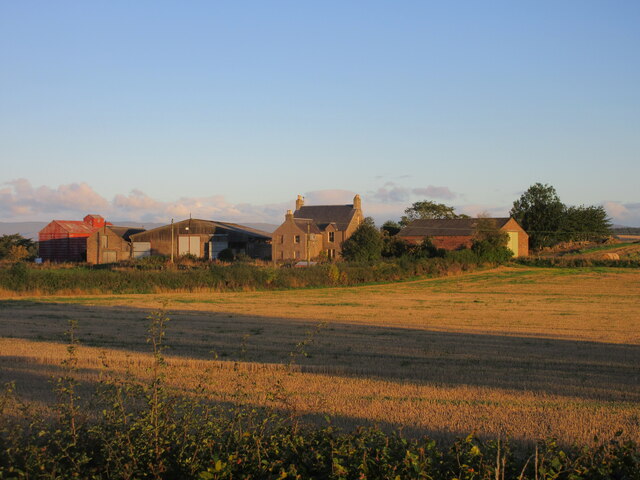
Myretown Wood, located in Perthshire, Scotland, is a captivating forest that spans over a vast area, offering visitors a tranquil retreat in the heart of nature. The wood is situated near the small village of Myretown, which is renowned for its scenic beauty and rich biodiversity.

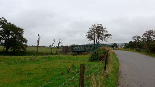
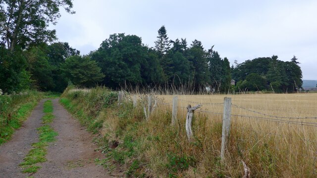
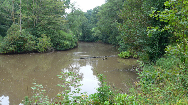
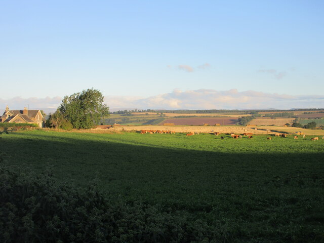
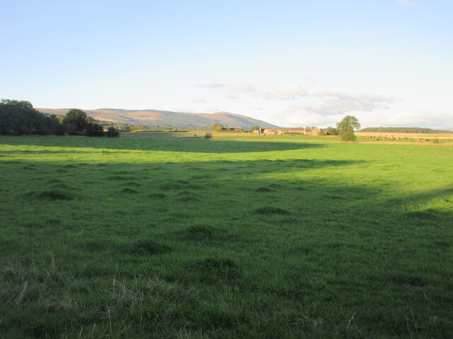
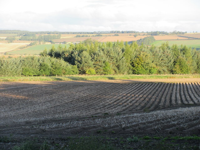
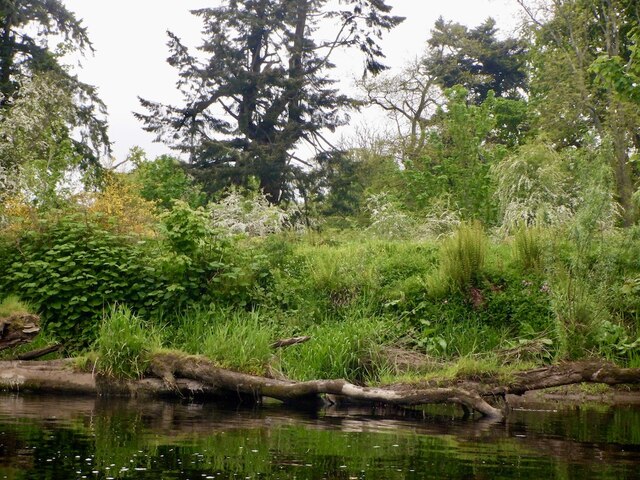
Covering an expanse of approximately 100 acres, Myretown Wood is home to a diverse range of flora and fauna, making it an ideal destination for nature enthusiasts and wildlife lovers. The wood consists mainly of deciduous trees, such as oak, birch, and beech, which provide a vibrant display of colors during the autumn season. The dense foliage creates a sheltered habitat for numerous animal species, including red squirrels, roe deer, and a variety of bird species.

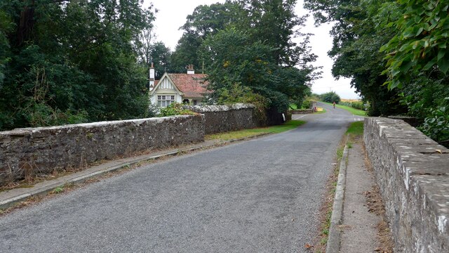
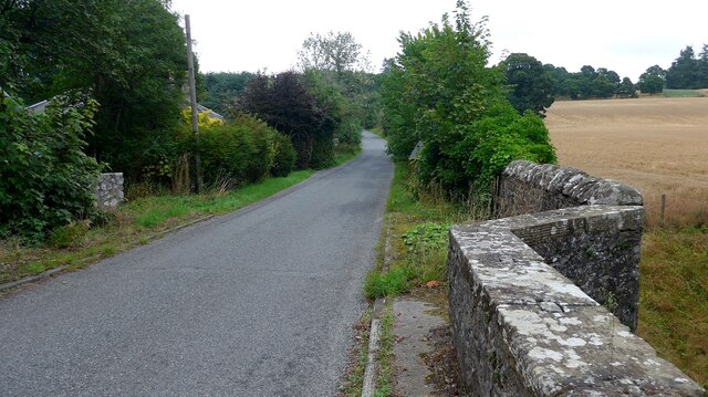
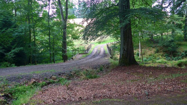
The wood offers a network of well-maintained footpaths that wind through the enchanting landscape, allowing visitors to explore the area at their own pace. These paths lead to secluded clearings, babbling streams, and stunning viewpoints, providing ample opportunities for scenic walks and photography. Moreover, the wood is equipped with several picnic areas, enabling visitors to relax and enjoy a meal amidst the natural surroundings.

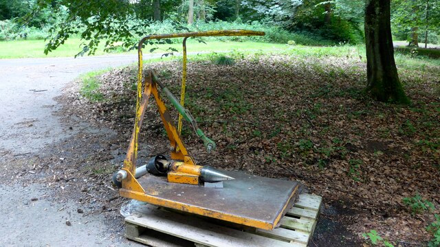
Myretown Wood is not only a haven for wildlife but also a site of historical interest. The wood is believed to have been used in the past for timber extraction and charcoal production, and remnants of these activities can still be seen today.

Overall, Myretown Wood in Perthshire offers a captivating blend of natural beauty, abundant wildlife, and historical significance, making it a must-visit destination for those seeking a peaceful and enriching experience in the heart of Scotland's countryside.

If you have any feedback on the listing, please let us know in the comments section below.

Myretown Wood Images

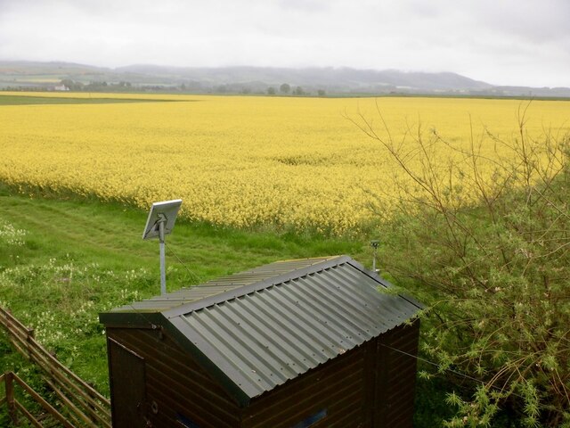
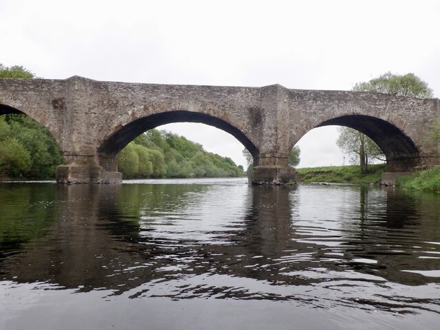
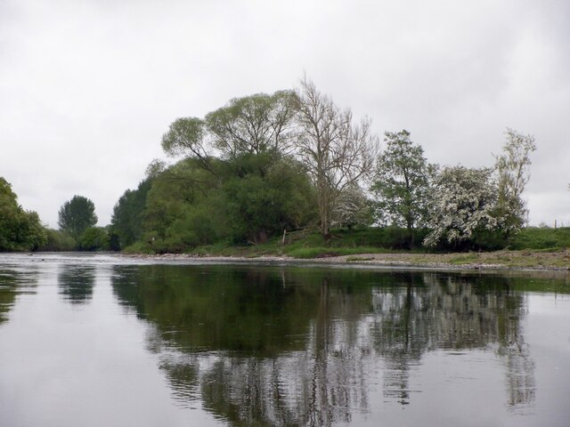
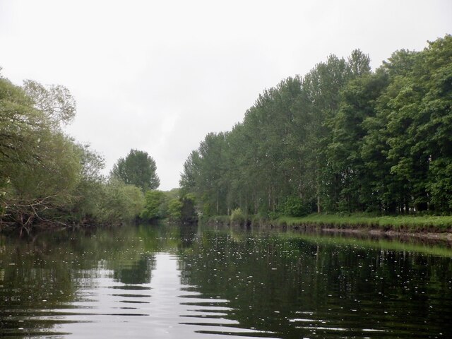
Images are sourced within 2km of 56.334209/-3.5514242 or Grid Reference NO0416. Thanks to Geograph Open Source API. All images are credited.

Bridge carrying the B935 over the Water of May
The track leading south from Forteviot kirk The barley in the field to the right is very close to being ready for harvest.
The track leading south from Forteviot kirk
The barley in the field to the right is very close to being ready for harvest.
A minor road crosses the Water of May at North Lodge
Bridge over the Water of May at Green of Invermay
Estate bridge over the Water of May The OS mapping is a little confused here:  this is the downstream (westward) of the two bridges and is the one in use.  The upstream (eastward) bridge is unsafe and fenced off.  All the OS mappings imply the opposite.
Estate bridge over the Water of May
The OS mapping is a little confused here: this is the downstream (westward) of the two bridges and is the one in use. The upstream (eastward) bridge is unsafe and fenced off. All the OS mappings imply the opposite.
Unidentified machine by the Water of May What can this be for?  There is a power take-off drive to the left.  A machine for burying underground pipes?

Later addition - this is a log-splitter!  Thanks to information from the ever-helpful members of Geograph.
Unidentified machine by the Water of May
What can this be for? There is a power take-off drive to the left. A machine for burying underground pipes? Later addition - this is a log-splitter! Thanks to information from the ever-helpful members of Geograph.
Lower Pond on the Invermay Estate
Greylag House, Forteviot The fine former manse for the adjacent kirk.
Greylag House, Forteviot
The fine former manse for the adjacent kirk.
Muirhead Farm Muirhead viewed from the road to the south-east.
Muirhead Farm
Muirhead viewed from the road to the south-east.
Cattle at Bogtonlea Cattle in a field just east of Bogtonlea.
Cattle at Bogtonlea
Cattle in a field just east of Bogtonlea.
Grass pastureland Grassy pastureland with Bogtonlea in the distance and Craig Rossie on the horizon.
Grass pastureland
Grassy pastureland with Bogtonlea in the distance and Craig Rossie on the horizon.
Potato field near Invermay Potato field nearing harvest, viewed from the roadside near Invermay.
Potato field near Invermay
Potato field nearing harvest, viewed from the roadside near Invermay.
Oilseed rape field By Forteviot Bridge.
Oilseed rape field
By Forteviot Bridge.
Forteviot Bridge A mid 18th century crossing of the River Earn.
Forteviot Bridge
A mid 18th century crossing of the River Earn.
May - Earn confluence The Water of May, running off the Ochil Hills joins the Earn downstream of Forteviot Bridge.
May - Earn confluence
The Water of May, running off the Ochil Hills joins the Earn downstream of Forteviot Bridge.
River Earn, Forteviot
Banks of the Earn, Dupplin
The Square, Forteviot Built in the 1920s.
The Square, Forteviot
Built in the 1920s.
Show me another place!

Myretown Wood is located at Grid Ref: NO0416 (Lat: 56.334209, Lng: -3.5514242)

Unitary Authority: Perth and Kinross

Police Authority: Tayside

What 3 Words

///rhino.ventures.glides. Near Bridge of Earn, Perth & Kinross

Related Wikis

Forteviot railway station

Forteviot railway station served the village of Forteviot, Perth and Kinross, Scotland from 1848 to 1956 on the Scottish Central Railway. == History... ==

Forteviot

Forteviot (Scottish Gaelic: Fothair Tabhaicht) (Ordnance Survey grid reference NO052175) is a village in Strathearn, Scotland on the south bank of the...

Forteviot Bronze Age tomb

Forteviot Bronze Age tomb is a Bronze Age burial chamber discovered in 2009 at Forteviot near Perth, Scotland. The Bronze Age tomb is one of a number of...

Invermay

Invermay ( ) is a diffuse settlement in Perth and Kinross, Scotland. It is situated approximately 2 km southeast of Forteviot on the Water of May, some...

Nearby Amenities

Located within 500m of 56.334209,-3.5514242
Power: pole
Lat/Long: 56.3306449/-3.5556926
Power: pole
Lat/Long: 56.3311012/-3.5546086
Power: pole
Lat/Long: 56.3315892/-3.5535247
Power: pole
Lat/Long: 56.3322669/-3.5528564
Power: pole
Lat/Long: 56.3328407/-3.5522777
Power: pole
Lat/Long: 56.3336269/-3.5515361
Power: pole
Lat/Long: 56.3341934/-3.5509789
Power: pole
Lat/Long: 56.3347536/-3.5500172
Power: pole
Lat/Long: 56.3353138/-3.5490962
Power: pole
Lat/Long: 56.3357295/-3.5482812
Power: pole
Lat/Long: 56.3362535/-3.5475477
Power: pole
Lat/Long: 56.3368318/-3.5466757
Power: pole
Lat/Long: 56.3373688/-3.552044
Power: pole
Lat/Long: 56.3358523/-3.5520494
Power: pole
Lat/Long: 56.3351833/-3.5512394
Power: pole
Lat/Long: 56.3364716/-3.5520789
Give Way
Direction: forward
Lat/Long: 56.3350815/-3.5548351
The data included in this document is from www.openstreetmap.org. The data is made available under ODbL.

Have you been to Myretown Wood?

Leave your review of Myretown Wood below (or comments, questions and feedback).