Coarse Hill

Hill, Mountain in Fife

Scotland

Coarse Hill

Stubble field at Carnock Moor
Stubble field at Carnock Moor Credit: M J Richardson

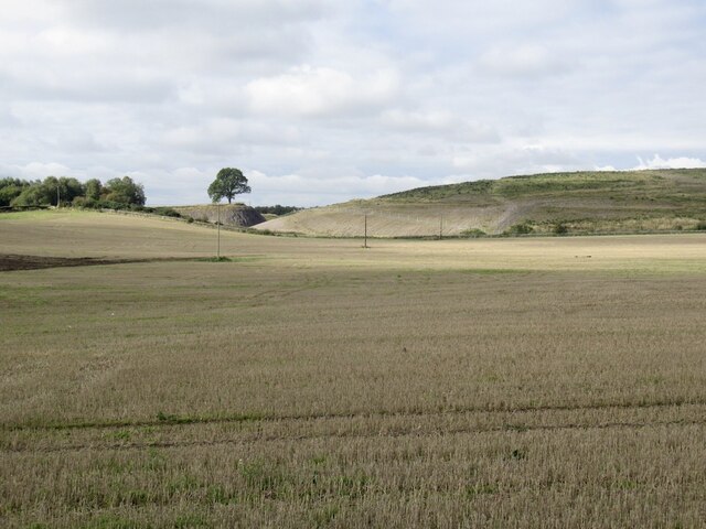
Coarse Hill, located in the region of Fife, Scotland, is a prominent hill that rises to an elevation of 1,112 feet (339 meters) above sea level. Situated near the town of Auchtermuchty, it forms part of the Lomond Hills, a range known for its stunning natural beauty and panoramic views.

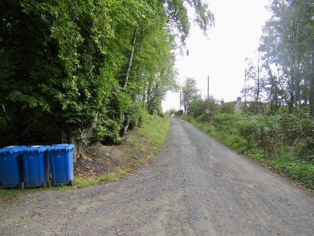
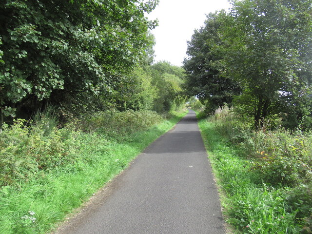
Coarse Hill is a popular destination for hikers and nature enthusiasts, offering a range of trails and paths to explore. The hill is characterized by its rugged and rocky terrain, with steep slopes that challenge even the most experienced climbers. Several routes lead to the summit, providing different levels of difficulty and stunning vistas along the way.

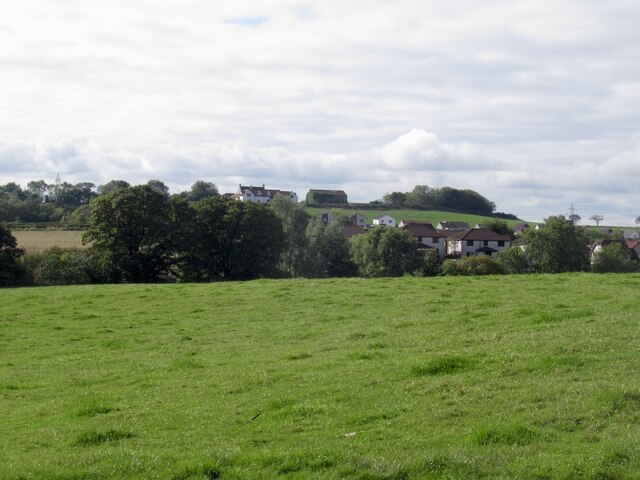
At the top of Coarse Hill, visitors are rewarded with breathtaking views of the surrounding countryside, including the rolling hills, farmland, and nearby lochs. On a clear day, it is even possible to catch a glimpse of the Firth of Tay and the city of Dundee in the distance.

The hill is home to a variety of wildlife, including birds of prey such as buzzards and kestrels, as well as deer and other small mammals. Nature enthusiasts can enjoy observing these creatures in their natural habitat while taking in the fresh air and peaceful surroundings.

Coarse Hill is a true gem of Fife, attracting both locals and tourists alike. Whether it be for a challenging hike, a peaceful stroll, or simply to immerse oneself in the beauty of nature, this hill offers a memorable experience for all who visit.

If you have any feedback on the listing, please let us know in the comments section below.
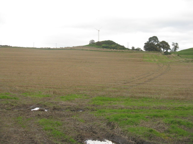
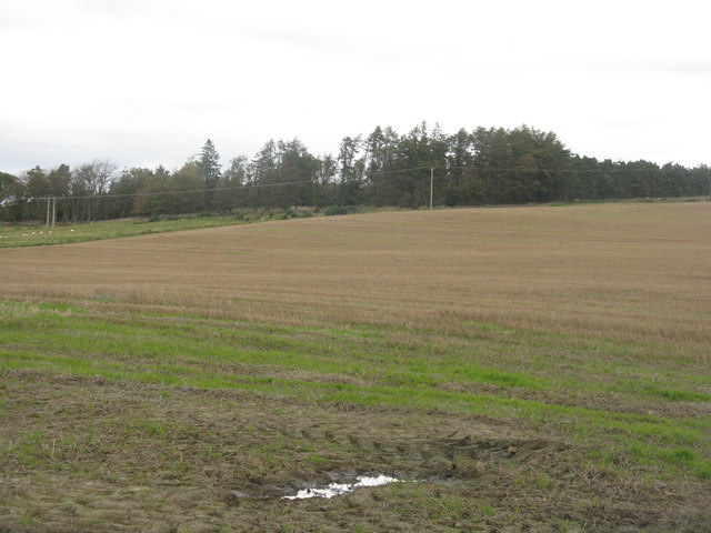
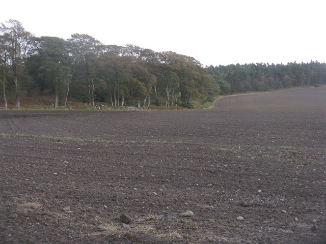
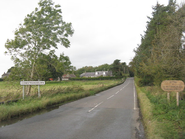
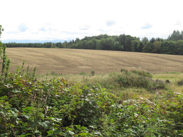
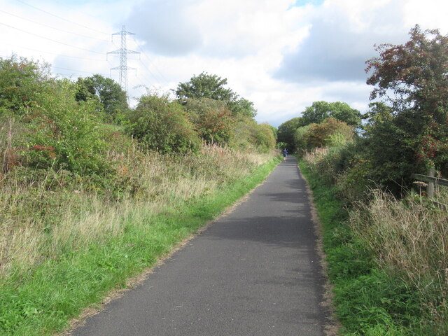
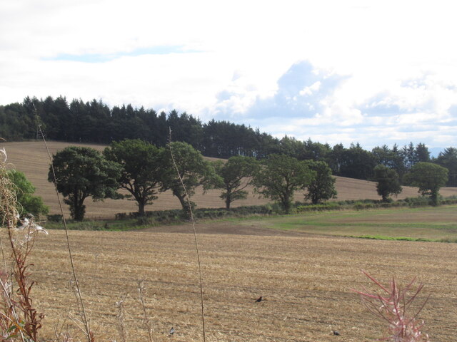
Coarse Hill Images

Images are sourced within 2km of 56.085866/-3.5505209 or Grid Reference NT0389. Thanks to Geograph Open Source API. All images are credited.

Stubble field at Carnock Moor
Carnock Moor Farmland rising gently to woodland on the higher ground of the moor.
Carnock Moor
Farmland rising gently to woodland on the higher ground of the moor.
Harvest stored near Kinneddar Park Silage bales - not sure if the wrapping colour is of any significance?
Harvest stored near Kinneddar Park
Silage bales - not sure if the wrapping colour is of any significance?
Sheep pasture at Muirside of Kinneddar
Grass fields at Kinneddar Park Possibly the source of the silage at <a href="https://www.geograph.org.uk/photo/6291724">NT0290 : Harvest stored near Kinneddar Park</a>.
Grass fields at Kinneddar Park
Possibly the source of the silage at NT0290 : Harvest stored near Kinneddar Park.
Newly sown field at Cowstrandburn No spilt grain, so no clues as to whether it is winter barley or wheat. With woodland on Carnock Moor beyond.
Newly sown field at Cowstrandburn
No spilt grain, so no clues as to whether it is winter barley or wheat. With woodland on Carnock Moor beyond.
Entering Cowstrandburn from the south A big name for a small place - there must be story behind the name.
Entering Cowstrandburn from the south
A big name for a small place - there must be story behind the name.
Stubble Towards Bonnar Law, a former opencast site
Stubble
Towards Bonnar Law, a former opencast site
Road to Rhynd
Road to Rhynd
Garden and fields at Inzievar
Flats above a row of shops, Oakley
Field near Carnock
Field near Carnock
Path, Comrie The trackbed of the Oakley and Comrie Collieries mineral line. It links with the path along the Dunfermline to Alloa trackbed and paths through woodland.
Path, Comrie
The trackbed of the Oakley and Comrie Collieries mineral line. It links with the path along the Dunfermline to Alloa trackbed and paths through woodland.
Remnant of Oakley Colliery Mapped as a mill. Once there was a large area covered with colliery buildings and railway lines here.
Remnant of Oakley Colliery
Mapped as a mill. Once there was a large area covered with colliery buildings and railway lines here.
Stirling and Dunfermline Railway trackbed Now a popular rails to trails conversion and very useful cyclepath.
Stirling and Dunfermline Railway trackbed
Now a popular rails to trails conversion and very useful cyclepath.
Stubble near Oakley
Stubble near Oakley
Rails to trails by Carnock The Dunfermline to Alloa railway trackbed is a long established cycle path.
Rails to trails by Carnock
The Dunfermline to Alloa railway trackbed is a long established cycle path.
Stubble and Dean Plantation View from the old railway trackbed.
Stubble and Dean Plantation
View from the old railway trackbed.
Show me another place!

Coarse Hill is located at Grid Ref: NT0389 (Lat: 56.085866, Lng: -3.5505209)

Unitary Authority: Fife

Police Authority: Fife

What 3 Words

///rucksack.private.confirms. Near Oakley, Fife

Related Wikis

Nearby Amenities

Located within 500m of 56.085866,-3.5505209
Bus Stop
Bonhard Road
Bench: no
Bin: no
Bus: yes
Lit: no
Naptan AtcoCode: 6500D0641
Naptan NaptanCode: 34325472
Passenger Information Display: no
Public Transport: platform
Shelter: no
Tactile Paving: no
Lat/Long: 56.0856318/-3.5452891
Bus Stop
Bonhard Road
Bench: no
Bin: yes
Bus: yes
Lit: no
Passenger Information Display: no
Public Transport: platform
Shelter: no
Tactile Paving: no
Lat/Long: 56.0858618/-3.5442598
Bus Stop
Sir George Bruce Road
Bench: no
Bin: no
Bus: yes
Lit: yes
Naptan AtcoCode: 6500D0642
Naptan NaptanCode: 34325476
Public Transport: platform
Shelter: no
Tactile Paving: no
Lat/Long: 56.0859197/-3.5536966
Bus Stop
Sir George Bruce Road
Bench: no
Bin: no
Bus: yes
Lit: yes
Public Transport: platform
Shelter: no
Tactile Paving: no
Lat/Long: 56.0858765/-3.5546575
Bus Stop
Burnside Terrace
Bench: yes
Bus: yes
Public Transport: platform
Shelter: yes
Lat/Long: 56.0848155/-3.5577623
Bus Stop
Burnside Terrace
Bus: yes
Public Transport: platform
Lat/Long: 56.0849256/-3.5569734
Generator Method: photovoltaic
Generator Output Electricity: yes
Generator Source: solar
Generator Type: solar_photovoltaic_panel
Power: generator
Lat/Long: 56.0853263/-3.5548051
Carneil Farm B And B
Addr Country: GB
Addr Housename: Carneil Farmhouse
Addr Place: Carneil Farm
Addr Postcode: KY12 9JJ
Fhrs Id: 143272
Guest House: bed_and_breakfast
Tourism: guest_house
Lat/Long: 56.0826857/-3.5483077
Power: pole
Lat/Long: 56.0890107/-3.5453141
Power: pole
Lat/Long: 56.0886948/-3.5458679
Power: pole
Lat/Long: 56.0882015/-3.5467357
Power: pole
Lat/Long: 56.0874988/-3.5472978
Power: pole
Lat/Long: 56.0868086/-3.5478291
Material: wood
Power: pole
Lat/Long: 56.0861218/-3.5483584
Material: wood
Power: pole
Lat/Long: 56.085553/-3.5496713
Power: pole
Lat/Long: 56.0850825/-3.550777
Power: pole
Lat/Long: 56.0847506/-3.551534
Power: pole
Lat/Long: 56.0830571/-3.5477409
Power: pole
Lat/Long: 56.0834131/-3.5485328
Power: pole
Lat/Long: 56.083753/-3.5493041
Power: pole
Lat/Long: 56.0841617/-3.5502232
Power: pole
Lat/Long: 56.0845852/-3.5511484
Power: pole
Lat/Long: 56.0847019/-3.5527444
Power: pole
Lat/Long: 56.0846527/-3.5539732
Power: pole
Lat/Long: 56.0846092/-3.5552451
Power: pole
Lat/Long: 56.0842143/-3.5564493
The data included in this document is from www.openstreetmap.org. The data is made available under ODbL.

Have you been to Coarse Hill?

Leave your review of Coarse Hill below (or comments, questions and feedback).