Blair Tower Wood

Downs, Moorland in Fife

Scotland

Blair Tower Wood

Stubble field at Carnock Moor
Stubble field at Carnock Moor Credit: M J Richardson

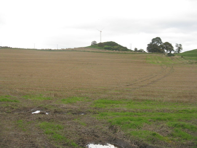
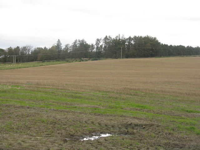
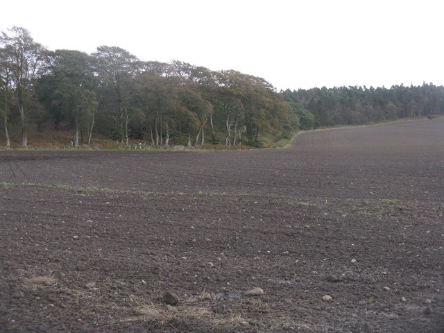
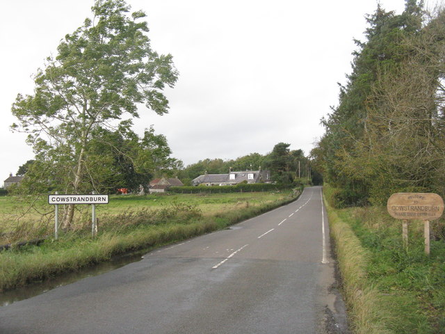
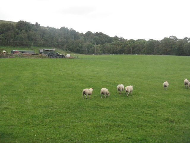
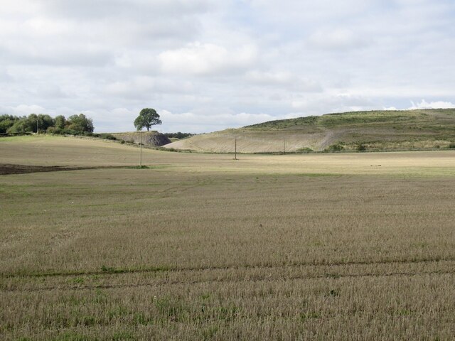
Blair Tower Wood, located in Fife, Scotland, is a picturesque natural area encompassing downs and moorland. Covering a vast expanse of land, this wood is known for its stunning beauty and diverse flora and fauna.

The wood is characterized by its rolling hills and open spaces, creating a unique landscape that is a delight to explore. The downs, or grassy hills, offer panoramic views of the surrounding countryside, making it a popular spot for nature enthusiasts and photographers. The moorland, on the other hand, is covered in heather and is home to a variety of wildlife, including birds, rabbits, and deer.

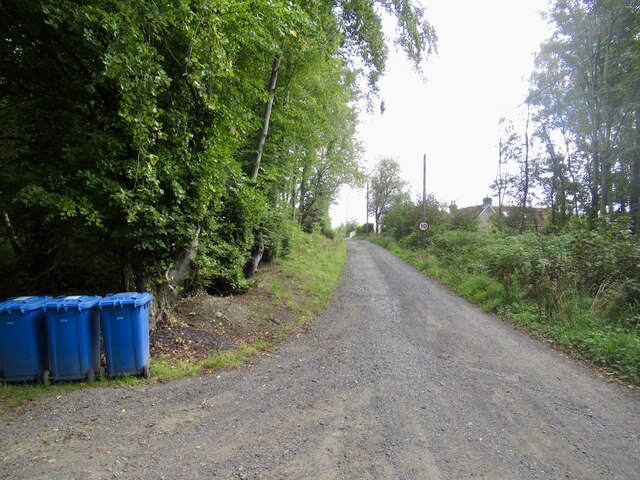
The wood is easily accessible, with well-maintained trails and paths throughout, making it a favorite destination for hikers, joggers, and dog walkers. The peaceful ambiance and tranquil surroundings make it an ideal place for relaxation and meditation.

Blair Tower Wood is not only a natural haven but also holds historical significance. The wood is home to Blair Tower, an ancient watchtower that dates back to the 16th century. The tower, although in ruins, adds an air of mystery and intrigue to the wood, attracting history enthusiasts and curious visitors.

Overall, Blair Tower Wood offers a perfect blend of natural beauty, recreational activities, and historical charm. Its downs and moorland provide a diverse and captivating environment that appeals to all those seeking an escape from the hustle and bustle of everyday life.

If you have any feedback on the listing, please let us know in the comments section below.

Blair Tower Wood Images

Images are sourced within 2km of 56.087955/-3.5566641 or Grid Reference NT0389. Thanks to Geograph Open Source API. All images are credited.

Stubble field at Carnock Moor
Carnock Moor Farmland rising gently to woodland on the higher ground of the moor.
Carnock Moor
Farmland rising gently to woodland on the higher ground of the moor.
Harvest stored near Kinneddar Park Silage bales - not sure if the wrapping colour is of any significance?
Harvest stored near Kinneddar Park
Silage bales - not sure if the wrapping colour is of any significance?
Sheep pasture at Muirside of Kinneddar
Grass fields at Kinneddar Park Possibly the source of the silage at <a href="https://www.geograph.org.uk/photo/6291724">NT0290 : Harvest stored near Kinneddar Park</a>.
Grass fields at Kinneddar Park
Possibly the source of the silage at NT0290 : Harvest stored near Kinneddar Park.
Newly sown field at Cowstrandburn No spilt grain, so no clues as to whether it is winter barley or wheat. With woodland on Carnock Moor beyond.
Newly sown field at Cowstrandburn
No spilt grain, so no clues as to whether it is winter barley or wheat. With woodland on Carnock Moor beyond.
Entering Cowstrandburn from the south A big name for a small place - there must be story behind the name.
Entering Cowstrandburn from the south
A big name for a small place - there must be story behind the name.
Sheep at Langfauld Looking northeast to the woodland on the Bandrum escarpment.
Sheep at Langfauld
Looking northeast to the woodland on the Bandrum escarpment.
Stubble Towards Bonnar Law, a former opencast site
Stubble
Towards Bonnar Law, a former opencast site
Road to Rhynd
Road to Rhynd
Blairsgreen Pasture near Saline.
Blairsgreen
Pasture near Saline.
Fife pastures On the coal measures where the ground is often wet.
Fife pastures
On the coal measures where the ground is often wet.
Road to Bickramside This was the access road to Comrie Colliery.
Road to Bickramside
This was the access road to Comrie Colliery.
Kinneddar Park
Kinneddar Park
A907 near Comrie
A907 near Comrie
Garden and fields at Inzievar
Flats above a row of shops, Oakley
Field near Carnock
Field near Carnock
Show me another place!

Blair Tower Wood is located at Grid Ref: NT0389 (Lat: 56.087955, Lng: -3.5566641)

Unitary Authority: Fife

Police Authority: Fife

What 3 Words

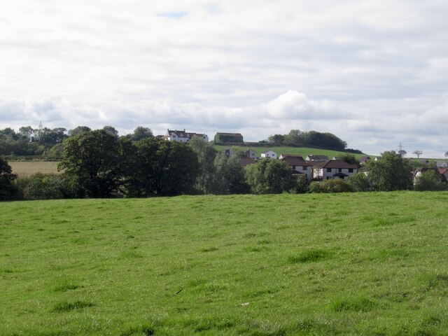
///panning.tango.denoting. Near Oakley, Fife

Related Wikis

Oakley United F.C.

Oakley United Football Club are a Scottish football club based in Oakley, Fife. Formed in 1964, they play their home games at Blairwood Park. The club...

Oakley (Fife) railway station

Oakley (Fife) railway station served the village of Oakley, Fife, Scotland from 1850 to 1986 on the Stirling and Dunfermline Railway. == History == The...

Carnock

Carnock (Scottish Gaelic: A' Chàrnaich) is a village and parish of Fife, Scotland, 4+1⁄4 miles (7 kilometres) west of Dunfermline. It is 1+1⁄4 miles (2...

Comrie, Fife

Comrie ( locally or ); is a village in Fife, Scotland, located immediately west of the neighbouring village of Oakley, 6.2 miles (9.98 km) west of Dunfermline...

Nearby Amenities

Located within 500m of 56.087955,-3.5566641
Bus Stop
Sir George Bruce Road
Bench: no
Bin: no
Bus: yes
Lit: yes
Naptan AtcoCode: 6500D0642
Naptan NaptanCode: 34325476
Public Transport: platform
Shelter: no
Tactile Paving: no
Lat/Long: 56.0859197/-3.5536966
Bus Stop
Sir George Bruce Road
Bench: no
Bin: no
Bus: yes
Lit: yes
Public Transport: platform
Shelter: no
Tactile Paving: no
Lat/Long: 56.0858765/-3.5546575
Bus Stop
Burnside Terrace
Bench: yes
Bus: yes
Public Transport: platform
Shelter: yes
Lat/Long: 56.0848155/-3.5577623
Bus Stop
Erskine Wynd
Bus: yes
Naptan AtcoCode: 6500D0654
Naptan NaptanCode: 34325454
Public Transport: platform
Lat/Long: 56.0843848/-3.5611637
Bus Stop
Erskine Wynd
Bus: yes
Public Transport: platform
Lat/Long: 56.0843215/-3.5609761
Bus Stop
Burnside Terrace
Bus: yes
Public Transport: platform
Lat/Long: 56.0849256/-3.5569734
Bus Stop
Carnock Road
Bus: yes
Public Transport: platform
Lat/Long: 56.0873818/-3.5633854
Bus Stop
Carnock Road
Bus: yes
Public Transport: platform
Lat/Long: 56.0872231/-3.5631869
Generator Method: photovoltaic
Generator Output Electricity: yes
Generator Source: solar
Generator Type: solar_photovoltaic_panel
Power: generator
Lat/Long: 56.0853263/-3.5548051
Barrier: stile
Stile: stepover
Lat/Long: 56.0916055/-3.5584723
Generator Method: photovoltaic
Generator Output Electricity: yes
Generator Source: solar
Generator Type: solar_photovoltaic_panel
Power: generator
Lat/Long: 56.0865756/-3.5637929
Post Box
Brand: Royal Mail
Brand Wikidata: Q638098
Brand Wikipedia: en:Royal Mail
Collection Times: Mo-Fr 12:00; Sa 12:00
Operator: Royal Mail
Operator Wikidata: Q638098
Post Box Type: lamp
Ref: KY12 178
Royal Cypher: scottish_crown
Lat/Long: 56.0844188/-3.5604872
Power: pole
Lat/Long: 56.0919153/-3.5535998
Power: pole
Lat/Long: 56.0914816/-3.5546153
Power: pole
Lat/Long: 56.0910433/-3.5556164
Power: pole
Lat/Long: 56.090613/-3.5566319
Power: pole
Lat/Long: 56.0901701/-3.5576473
Power: pole
Lat/Long: 56.089734/-3.5586464
Power: pole
Lat/Long: 56.089306/-3.5596413
Power: pole
Lat/Long: 56.0888585/-3.5607306
Power: pole
Lat/Long: 56.0884098/-3.5617646
Power: pole
Lat/Long: 56.0879589/-3.5628272
Power: pole
Lat/Long: 56.0875388/-3.5637832
Power: pole
Lat/Long: 56.0885266/-3.5628805
Power: pole
Lat/Long: 56.0886307/-3.564134
Power: pole
Lat/Long: 56.0850825/-3.550777
Power: pole
Lat/Long: 56.0847506/-3.551534
Power: pole
Lat/Long: 56.0847019/-3.5527444
Power: pole
Lat/Long: 56.0846527/-3.5539732
Power: pole
Lat/Long: 56.0846092/-3.5552451
Power: pole
Lat/Long: 56.0842143/-3.5564493
Power: pole
Lat/Long: 56.0838023/-3.5577109
The data included in this document is from www.openstreetmap.org. The data is made available under ODbL.

Have you been to Blair Tower Wood?

Leave your review of Blair Tower Wood below (or comments, questions and feedback).