Cobbinshaw Hill

Hill, Mountain in Midlothian

Scotland

Cobbinshaw Hill

Cobbinshaw Loch Cobbinshaw Loch was built to store water for the Union Canal. Water is released into the Murieston Water and then into the River Almond and then taken from the river and entering the canal at the Almond Aqueduct.
The Loch is used for angling.
Cobbinshaw Loch Credit: Ian Murfitt

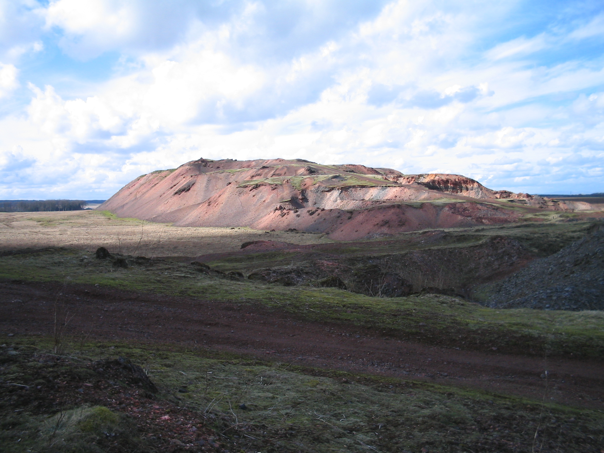
Cobbinshaw Hill is a prominent landmark located in Midlothian, Scotland. It is a small hill situated approximately 15 miles west of the city of Edinburgh. With an elevation of around 1,250 feet (381 meters), it is often referred to as a hill rather than a mountain.

The hill is formed from a range of geological features, predominantly consisting of sandstone and shale. It is part of the Pentland Hills, a series of rolling hills and moorlands that stretch across Midlothian and the surrounding areas. Cobbinshaw Hill is characterized by its distinctive shape, with a rounded summit and steep slopes covered in grass and heather.

Due to its location and elevation, Cobbinshaw Hill offers panoramic views of the surrounding countryside. On a clear day, visitors can enjoy stunning vistas of the Pentland Hills, the Forth Valley, and even as far as the Firth of Forth.

Cobbinshaw Hill is a popular destination for outdoor enthusiasts, hikers, and nature lovers. Several walking trails lead to the summit, providing a moderate challenge for those seeking a rewarding hike. The hill is also home to a variety of plant and animal species, including heather, bilberry, and various bird species, making it an ideal spot for wildlife observation.

Overall, Cobbinshaw Hill offers a tranquil and picturesque setting for outdoor activities, while also providing visitors with an opportunity to connect with the natural beauty of the Midlothian region.

If you have any feedback on the listing, please let us know in the comments section below.

Cobbinshaw Hill Images

Images are sourced within 2km of 55.80026/-3.5444605 or Grid Reference NT0357. Thanks to Geograph Open Source API. All images are credited.

Cobbinshaw Loch Cobbinshaw Loch was built to store water for the Union Canal. Water is released into the Murieston Water and then into the River Almond and then taken from the river and entering the canal at the Almond Aqueduct.
The Loch is used for angling.
Cobbinshaw Loch
Cobbinshaw Loch was built to store water for the Union Canal. Water is released into the Murieston Water and then into the River Almond and then taken from the river and entering the canal at the Almond Aqueduct. The Loch is used for angling.
Post boxes at Crosswood Redundant postboxes put to use for delivery rather than despatch. At the start of the track to Crosswood and Crosswoodburn. The A70 [Lang Whang] heads off into the distance on the left, with the sign for the left turn [B7oo8] to West Calder.
Post boxes at Crosswood
Redundant postboxes put to use for delivery rather than despatch. At the start of the track to Crosswood and Crosswoodburn. The A70 [Lang Whang] heads off into the distance on the left, with the sign for the left turn [B7oo8] to West Calder.
Aberlyn and Crosswoodburn Looking south east from the A70 [Lang Whang]. Rough grassland in the foothills of the Pentland Hills.
Aberlyn and Crosswoodburn
Looking south east from the A70 [Lang Whang]. Rough grassland in the foothills of the Pentland Hills.
South Cobbinshaw Seen from North Cobbinshaw, looking across the reservoir from near the start of the causeway. The reservoir is the source of water for the Union Canal [Edinburgh-Falkirk], entering at Linn's Mill via the Bog Burn, Murieston Water, Linhouse water and the River Almond.
South Cobbinshaw
Seen from North Cobbinshaw, looking across the reservoir from near the start of the causeway. The reservoir is the source of water for the Union Canal [Edinburgh-Falkirk], entering at Linn's Mill via the Bog Burn, Murieston Water, Linhouse water and the River Almond.
Cobbinshaw Reservoir Looking northeast from North Cobbinshaw. The reservoir is the source of water for the Union Canal, and is about 2.5km long.
Cobbinshaw Reservoir
Looking northeast from North Cobbinshaw. The reservoir is the source of water for the Union Canal, and is about 2.5km long.
Shelter belt at South Cobbinshaw Looking across the reservoir to pastures south of the reservoir.
Shelter belt at South Cobbinshaw
Looking across the reservoir to pastures south of the reservoir.
Rough pasture at Wester Crosswoodhill Looking west towards the shale bing at Tarbrax .
Rough pasture at Wester Crosswoodhill
Looking west towards the shale bing at Tarbrax .
Cobbinshaw Moss from Wester Crosswoodhill Looking northwest from the A70. The two windturbines visible near the left horizon, just above a patch of water which is the western end of Cobbinshaw Reservoir, are part of the wind farm near Pearie Law.
Cobbinshaw Moss from Wester Crosswoodhill
Looking northwest from the A70. The two windturbines visible near the left horizon, just above a patch of water which is the western end of Cobbinshaw Reservoir, are part of the wind farm near Pearie Law.
Sheep House Plantation At Wester Crosswoodhill on the A70 Lanark Road.
Sheep House Plantation
At Wester Crosswoodhill on the A70 Lanark Road.
Rushy depression near The Beeches Looking west from the A70 towards Tod Hills.
Rushy depression near The Beeches
Looking west from the A70 towards Tod Hills.
North Moss from the A70 Looking across to the 7-turbine wind farm at Pearie Law
North Moss from the A70
Looking across to the 7-turbine wind farm at Pearie Law
Mute swans at Cobbinshaw Unsuccessfully soliciting for food.
Mute swans at Cobbinshaw
Unsuccessfully soliciting for food.
Beech Trees by the A70 The A70 has some attractive tree-lined stretches, often on twisty parts of the road.  This view looks towards Edinburgh.
Beech Trees by the A70
The A70 has some attractive tree-lined stretches, often on twisty parts of the road. This view looks towards Edinburgh.
Sheep Near Crosswoodhill Ewes and lambs grazing in a field beside the A70.
Sheep Near Crosswoodhill
Ewes and lambs grazing in a field beside the A70.
Towards Mid-Crosswood Looking across improved grazing land from the A70 towards Mid-Crosswood, which lies in the next square.
Towards Mid-Crosswood
Looking across improved grazing land from the A70 towards Mid-Crosswood, which lies in the next square.
North Moss View This area is drained by the Powfastle Burn.
North Moss View
This area is drained by the Powfastle Burn.
Harburnhead Hill from the air The shake holes ( <span class="nowrap"><a title="http://mapzone.ordnancesurvey.co.uk/mapzone/didyouknow/whatis/q_12_75.html" rel="nofollow ugc noopener" href="http://mapzone.ordnancesurvey.co.uk/mapzone/didyouknow/whatis/q_12_75.html">Link</a><img style="margin-left:2px;" alt="External link" title="External link - shift click to open in new window" src="https://s1.geograph.org.uk/img/external.png" width="10" height="10"/></span> ) as shown on the larger scale OS maps can be seen to the left of centre.
Harburnhead Hill from the air
The shake holes ( LinkExternal link ) as shown on the larger scale OS maps can be seen to the left of centre.
Cobbinshaw Reservoir from the air The Carstairs to Edinburgh railway line, which connects the east and west coast main lines, can be seen to the left of the reservoir.
Cobbinshaw Reservoir from the air
The Carstairs to Edinburgh railway line, which connects the east and west coast main lines, can be seen to the left of the reservoir.
Show me another place!

Cobbinshaw Hill is located at Grid Ref: NT0357 (Lat: 55.80026, Lng: -3.5444605)

Unitary Authority: West Lothian

Police Authority: The Lothians and Scottish Borders

What 3 Words

///massing.dozed.lawfully. Near West Calder, West Lothian

Nearby Locations

Cobbinshaw Hill

Related Wikis

Cobbinshaw Reservoir

Cobbinshaw Reservoir is a reservoir in West Lothian, Scotland. It is situated near the Pentland Hills, 5 km south of West Calder. The 310-acre (1.3 km2...

Cobbinshaw

Cobbinshaw is a small hamlet in West Lothian, Scotland. It is at the end of a dead end road from nearby Woolfords. Cobbinshaw is at 1,000 feet (300 m...

Cobbinshaw railway station

Cobbinshaw railway station was on the Caledonian Railway Edinburgh to Carstairs line sited near a village called Woolfords in South Lanarkshire. The freight...

Tarbrax

Tarbrax (Scottish Gaelic: "An Tòrr Breac" - meaning "the speckled tor") is a small village in the Parish of Carnwath, South Lanarkshire, Scotland. It...

Have you been to Cobbinshaw Hill?

Leave your review of Cobbinshaw Hill below (or comments, questions and feedback).