Carneil Hill

Hill, Mountain in Fife

Scotland

Carneil Hill

Stubble field at Carnock Moor
Stubble field at Carnock Moor Credit: M J Richardson

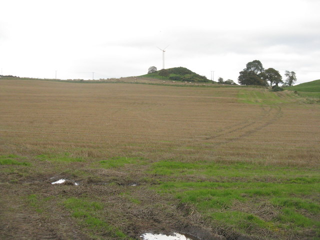
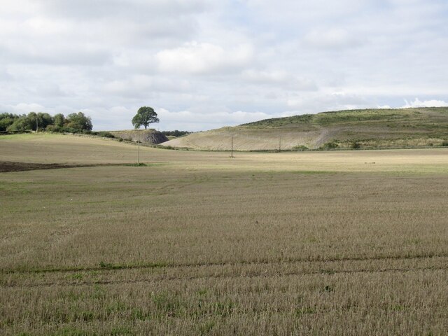
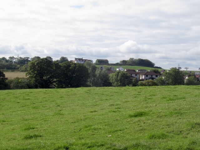
Carneil Hill is a prominent hill located in the region of Fife, Scotland. Situated near the village of Aberdour, it is a popular destination for outdoor enthusiasts and nature lovers. Standing at an elevation of approximately 267 meters (876 feet), Carneil Hill offers breathtaking panoramic views of the surrounding landscapes.

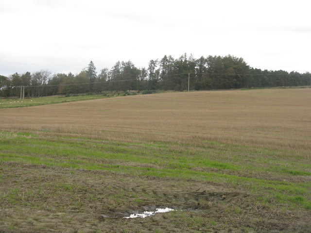
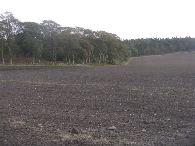
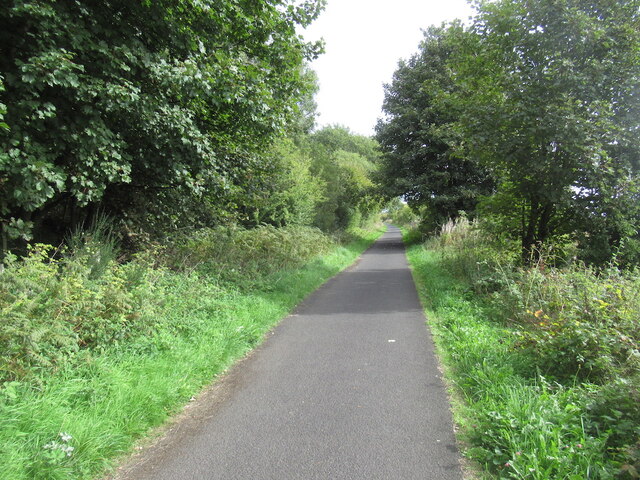
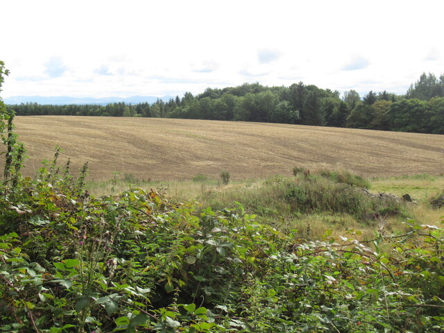
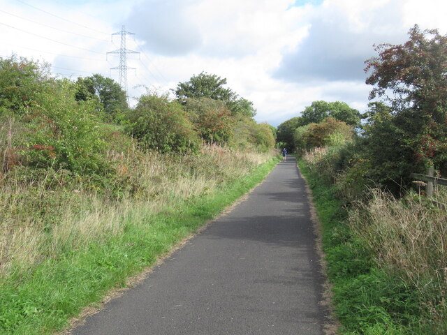
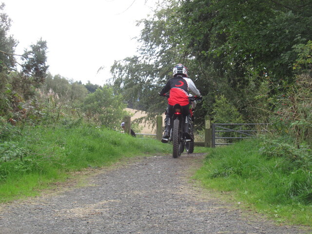
The hill is easily accessible, with a well-defined path leading to the summit. The trail takes visitors through a mix of woodland and moorland, providing opportunities to observe various flora and fauna along the way. The diverse range of plant species includes heather, gorse, and wildflowers, while sightings of birds such as buzzards and kestrels are also common.

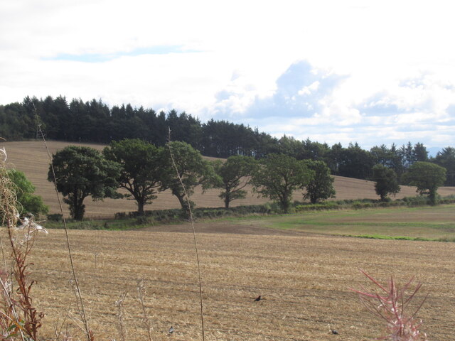
Reaching the top of Carneil Hill rewards hikers with stunning vistas over the Firth of Forth and the nearby countryside. On clear days, the view extends as far as the hills of Edinburgh and the Pentland Hills. The summit also offers a vantage point to admire the picturesque Aberdour Castle, an ancient fortress dating back to the 12th century.

Carneil Hill is an ideal location for outdoor activities such as hiking, picnicking, and photography. The hill’s tranquil surroundings make it a peaceful escape from the hustle and bustle of everyday life. Its accessibility and natural beauty have made it a popular destination for locals and tourists alike, attracting visitors throughout the year.

If you have any feedback on the listing, please let us know in the comments section below.

Carneil Hill Images

Images are sourced within 2km of 56.082368/-3.5557477 or Grid Reference NT0388. Thanks to Geograph Open Source API. All images are credited.

Stubble field at Carnock Moor
Carnock Moor Farmland rising gently to woodland on the higher ground of the moor.
Carnock Moor
Farmland rising gently to woodland on the higher ground of the moor.
Harvest stored near Kinneddar Park Silage bales - not sure if the wrapping colour is of any significance?
Harvest stored near Kinneddar Park
Silage bales - not sure if the wrapping colour is of any significance?
Sheep pasture at Muirside of Kinneddar
Newly sown field at Cowstrandburn No spilt grain, so no clues as to whether it is winter barley or wheat. With woodland on Carnock Moor beyond.
Newly sown field at Cowstrandburn
No spilt grain, so no clues as to whether it is winter barley or wheat. With woodland on Carnock Moor beyond.
Entering Cowstrandburn from the south A big name for a small place - there must be story behind the name.
Entering Cowstrandburn from the south
A big name for a small place - there must be story behind the name.
Stubble Towards Bonnar Law, a former opencast site
Stubble
Towards Bonnar Law, a former opencast site
A907 near Comrie
A907 near Comrie
Garden and fields at Inzievar
Flats above a row of shops, Oakley
Field near Carnock
Field near Carnock
Path, Comrie The trackbed of the Oakley and Comrie Collieries mineral line. It links with the path along the Dunfermline to Alloa trackbed and paths through woodland.
Path, Comrie
The trackbed of the Oakley and Comrie Collieries mineral line. It links with the path along the Dunfermline to Alloa trackbed and paths through woodland.
Remnant of Oakley Colliery Mapped as a mill. Once there was a large area covered with colliery buildings and railway lines here.
Remnant of Oakley Colliery
Mapped as a mill. Once there was a large area covered with colliery buildings and railway lines here.
Stirling and Dunfermline Railway trackbed Now a popular rails to trails conversion and very useful cyclepath.
Stirling and Dunfermline Railway trackbed
Now a popular rails to trails conversion and very useful cyclepath.
Stubble near Oakley
Stubble near Oakley
Rails to trails by Carnock The Dunfermline to Alloa railway trackbed is a long established cycle path.
Rails to trails by Carnock
The Dunfermline to Alloa railway trackbed is a long established cycle path.
Stubble and Dean Plantation View from the old railway trackbed.
Stubble and Dean Plantation
View from the old railway trackbed.
Motor bikes, Dunfermline to Clackmannan cycle path A constant problem keeping a refuge like a cycle and walking path free from motorised traffic. The pests have had a resurgence due to cheaper electric bikes (proper motorbikes, not assisted pedalling).
The path was busy today with families and lots of young children.
Motor bikes, Dunfermline to Clackmannan cycle path
A constant problem keeping a refuge like a cycle and walking path free from motorised traffic. The pests have had a resurgence due to cheaper electric bikes (proper motorbikes, not assisted pedalling). The path was busy today with families and lots of young children.
Show me another place!

Carneil Hill is located at Grid Ref: NT0388 (Lat: 56.082368, Lng: -3.5557477)

Unitary Authority: Fife

Police Authority: Fife

What 3 Words

///bachelor.shook.decking. Near Oakley, Fife

Nearby Locations

Carneil Hill

Related Wikis

Oakley (Fife) railway station

Oakley (Fife) railway station served the village of Oakley, Fife, Scotland from 1850 to 1986 on the Stirling and Dunfermline Railway. == History == The...

Carnock

Carnock (Scottish Gaelic: A' Chàrnaich) is a village and parish of Fife, Scotland, 4+1⁄4 miles (7 kilometres) west of Dunfermline. It is 1+1⁄4 miles (2...

Oakley United F.C.

Oakley United Football Club are a Scottish football club based in Oakley, Fife. Formed in 1964, they play their home games at Blairwood Park. The club...

Comrie, Fife

Comrie ( locally or ); is a village in Fife, Scotland, located immediately west of the neighbouring village of Oakley, 6.2 miles (9.98 km) west of Dunfermline...

Nearby Amenities

Located within 500m of 56.082368,-3.5557477
Power: tower
Lat/Long: 56.0784386/-3.5548451
Man Made: tower
Tower Type: communication
Lat/Long: 56.081534/-3.5537818
Bus Stop
John Stuart Gait
Bench: no
Bus: yes
Lit: no
Naptan AtcoCode: 6500D0660
Naptan NaptanCode: 34325435
Passenger Information Display: no
Public Transport: platform
Shelter: no
Lat/Long: 56.0835663/-3.5612853
Bus Stop
Sir George Bruce Road
Bench: no
Bin: no
Bus: yes
Lit: yes
Naptan AtcoCode: 6500D0642
Naptan NaptanCode: 34325476
Public Transport: platform
Shelter: no
Tactile Paving: no
Lat/Long: 56.0859197/-3.5536966
Bus Stop
Sir George Bruce Road
Bench: no
Bin: no
Bus: yes
Lit: yes
Public Transport: platform
Shelter: no
Tactile Paving: no
Lat/Long: 56.0858765/-3.5546575
Bus Stop
Burnside Terrace
Bench: yes
Bus: yes
Public Transport: platform
Shelter: yes
Lat/Long: 56.0848155/-3.5577623
Bus Stop
Erskine Wynd
Bus: yes
Naptan AtcoCode: 6500D0654
Naptan NaptanCode: 34325454
Public Transport: platform
Lat/Long: 56.0843848/-3.5611637
Bus Stop
Erskine Wynd
Bus: yes
Public Transport: platform
Lat/Long: 56.0843215/-3.5609761
Bus Stop
Burnside Terrace
Bus: yes
Public Transport: platform
Lat/Long: 56.0849256/-3.5569734
Generator Method: photovoltaic
Generator Output Electricity: yes
Generator Source: solar
Generator Type: solar_photovoltaic_panel
Power: generator
Lat/Long: 56.0853263/-3.5548051
Carneil Farm B And B
Addr Country: GB
Addr Housename: Carneil Farmhouse
Addr Place: Carneil Farm
Addr Postcode: KY12 9JJ
Fhrs Id: 143272
Guest House: bed_and_breakfast
Tourism: guest_house
Lat/Long: 56.0826857/-3.5483077
Post Box
Brand: Royal Mail
Brand Wikidata: Q638098
Brand Wikipedia: en:Royal Mail
Collection Times: Mo-Fr 12:00; Sa 12:00
Operator: Royal Mail
Operator Wikidata: Q638098
Post Box Type: lamp
Ref: KY12 178
Royal Cypher: scottish_crown
Lat/Long: 56.0844188/-3.5604872
Power: pole
Lat/Long: 56.0850825/-3.550777
Power: pole
Lat/Long: 56.0847506/-3.551534
Power: pole
Lat/Long: 56.0834131/-3.5485328
Power: pole
Lat/Long: 56.083753/-3.5493041
Power: pole
Lat/Long: 56.0841617/-3.5502232
Power: pole
Lat/Long: 56.0845852/-3.5511484
Power: pole
Lat/Long: 56.0847019/-3.5527444
Power: pole
Lat/Long: 56.0846527/-3.5539732
Power: pole
Lat/Long: 56.0846092/-3.5552451
Power: pole
Lat/Long: 56.0842143/-3.5564493
Power: pole
Lat/Long: 56.0838023/-3.5577109
The data included in this document is from www.openstreetmap.org. The data is made available under ODbL.

Have you been to Carneil Hill?

Leave your review of Carneil Hill below (or comments, questions and feedback).