Brunt Hill
Hill, Mountain in Perthshire
Scotland
Brunt Hill

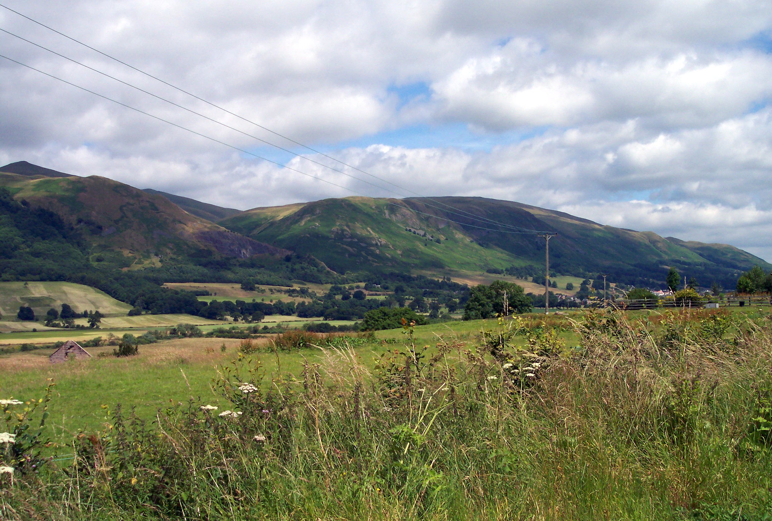
Brunt Hill is an impressive mountain located in the picturesque region of Perthshire, Scotland. Rising to an elevation of approximately 700 meters (2,297 feet), it is often regarded as one of the most captivating natural features in the area. Situated within the southern part of the Grampian Mountains, Brunt Hill offers breathtaking panoramic views of the surrounding landscape, making it a popular destination for outdoor enthusiasts and nature lovers alike.
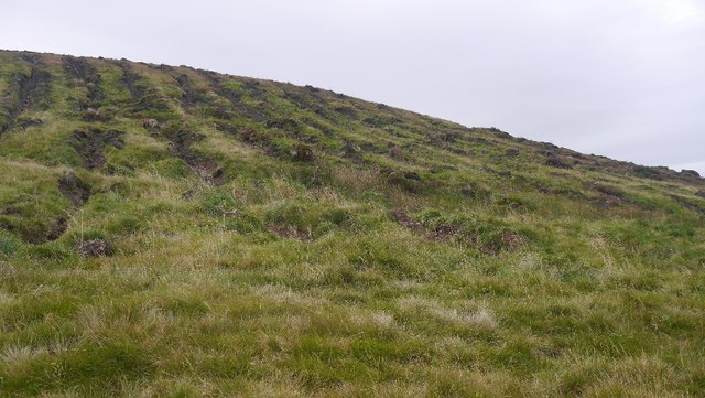
Covered in lush green vegetation during the warmer months, the hill showcases a stunning array of wildflowers, creating a vibrant and colorful scene. As visitors venture up the hill, they are greeted by a diverse range of flora and fauna, including heather, ferns, and various species of birds.
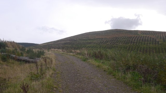
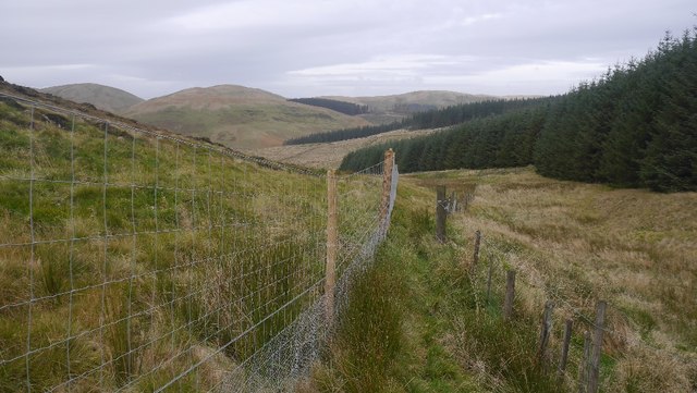
The ascent up Brunt Hill can be challenging, with steep and rugged terrain that demands a moderate level of fitness and experience. However, the reward at the summit is well worth the effort. On clear days, the vantage point at the top allows for breathtaking views of the rolling hills, shimmering lochs, and distant mountain ranges.
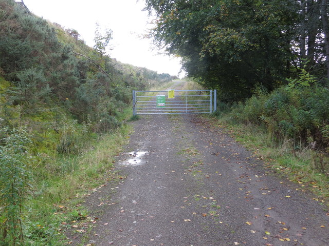
For those seeking more than just scenic beauty, Brunt Hill also serves as a gateway to a plethora of outdoor activities. Hiking and mountaineering are popular pursuits, with several well-marked trails leading to and around the hill. Additionally, the surrounding area offers opportunities for camping, fishing, and wildlife spotting.
Overall, Brunt Hill is a captivating natural wonder in Perthshire, offering a remarkable blend of awe-inspiring views, challenging terrain, and outdoor recreation opportunities, making it an ideal destination for visitors seeking to immerse themselves in the beauty of the Scottish Highlands.
If you have any feedback on the listing, please let us know in the comments section below.
Brunt Hill Images
Images are sourced within 2km of 56.251511/-3.5659929 or Grid Reference NO0307. Thanks to Geograph Open Source API. All images are credited.


Brunt Hill is located at Grid Ref: NO0307 (Lat: 56.251511, Lng: -3.5659929)
Unitary Authority: Perth and Kinross
Police Authority: Tayside
What 3 Words
///passing.outfitter.journey. Near Milnathort, Perth & Kinross
Nearby Locations
Related Wikis

Innerdouny Hill
Innerdouny Hill (497 m) is a hill in the Ochil Hills of Perth and Kinross, Scotland. It is located northwest of the town of Kinross. The second highest...

Ochil and South Perthshire (UK Parliament constituency)
Ochil and South Perthshire is a county constituency of the House of Commons of the Parliament of the United Kingdom. It elects one Member of Parliament...

Carnbo
Carnbo is a hamlet in Perth and Kinross, Scotland. It lies approximately 6 miles (10 kilometres) west of Kinross, on the A91 road on the South Queich burn...

A823 road
The A823 is a road in Scotland which goes from south of Crieff to Dunfermline. It joins onto the A823(M) and the A822 which runs to Crieff.
Glendevon Castle
Glendevon Castle is a collection of conjoined structures dating from the 15th century. The property is now (2022) semi-derelict. It lies on a private road...

Dalqueich
Dalqueich () is a hamlet in Perth and Kinross, Scotland. It lies approximately 3 miles (5 kilometres) west of Kinross, north of the A91 road on the North...
Strathdevon
Strathdevon is the strath of the River Devon in Clackmannanshire, Scotland. Strathdevon is associated with the parish of Muckhart and was up until 1971...
Ochil Hills
The Ochil Hills ( ; Scottish Gaelic: Monadh Ochail is a range of hills in Scotland north of the Forth valley bordered by the towns of Stirling, Alloa,...
Nearby Amenities
Located within 500m of 56.251511,-3.5659929Have you been to Brunt Hill?
Leave your review of Brunt Hill below (or comments, questions and feedback).