Tinny Bank
Hill, Mountain in Lanarkshire
Scotland
Tinny Bank
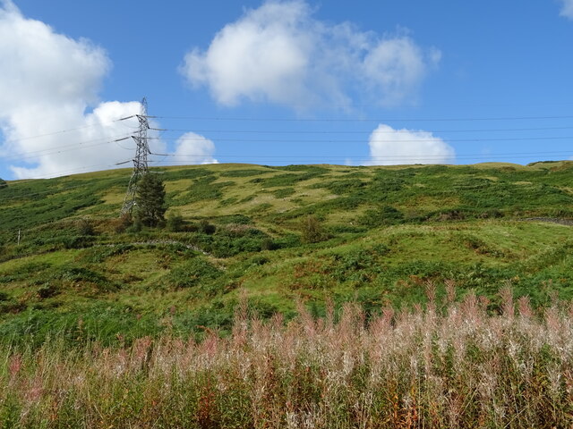
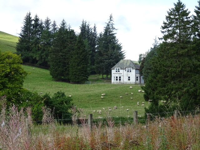
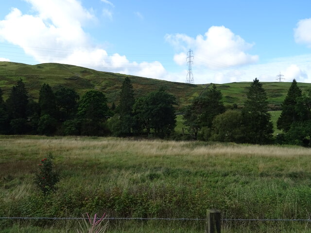
Tinny Bank is a prominent hill located in the region of Lanarkshire, Scotland. Situated in the heart of the picturesque Scottish countryside, this natural landmark offers breathtaking views and a tranquil environment for outdoor enthusiasts and nature lovers.
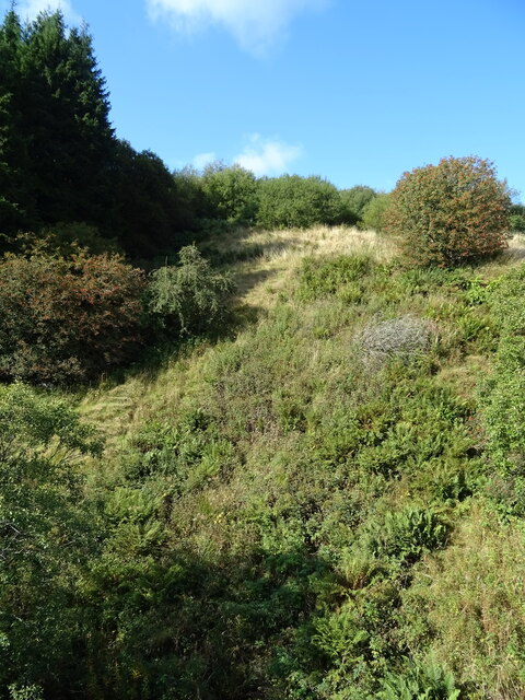
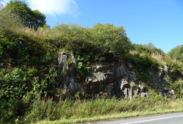
Rising to an elevation of approximately 400 meters (1,312 feet), Tinny Bank stands tall amidst the rolling hills of Lanarkshire. Its distinctive shape and lush greenery make it an easily recognizable feature of the surrounding landscape. The hill is primarily composed of sedimentary rock, with occasional granite outcrops adding to its geological diversity.
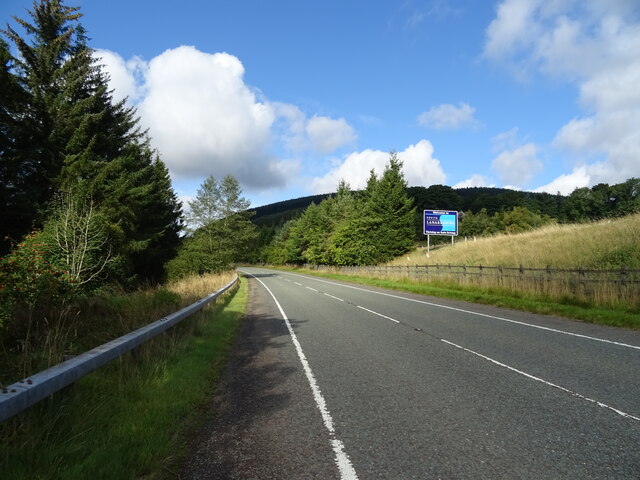
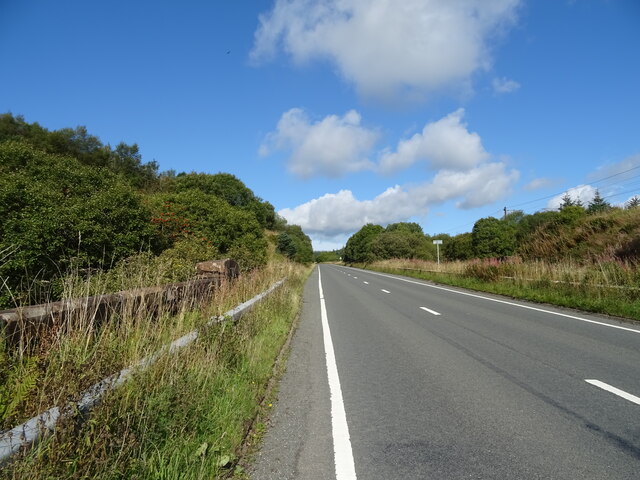
The ascent to the summit of Tinny Bank is relatively moderate, making it accessible to hikers of various skill levels. The well-maintained trails provide a pleasant hiking experience, with occasional benches and viewpoints along the way for visitors to rest and take in the panoramic vistas. On a clear day, one can admire the sweeping views of the nearby villages, farmland, and the distant peaks of the Southern Uplands.
Tinny Bank is also home to a diverse range of flora and fauna, adding to its natural beauty. The hillside is adorned with wildflowers during the spring and summer months, attracting butterflies and bees. Birdwatchers can spot various species, including kestrels, buzzards, and occasionally peregrine falcons soaring above the hill.
Whether for a leisurely stroll or a more challenging hike, Tinny Bank offers a serene and idyllic setting for outdoor exploration, allowing visitors to immerse themselves in the natural wonders of Lanarkshire.
If you have any feedback on the listing, please let us know in the comments section below.
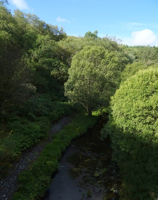
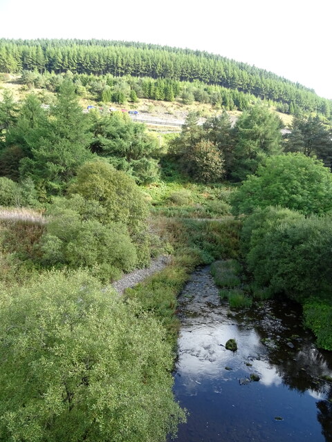
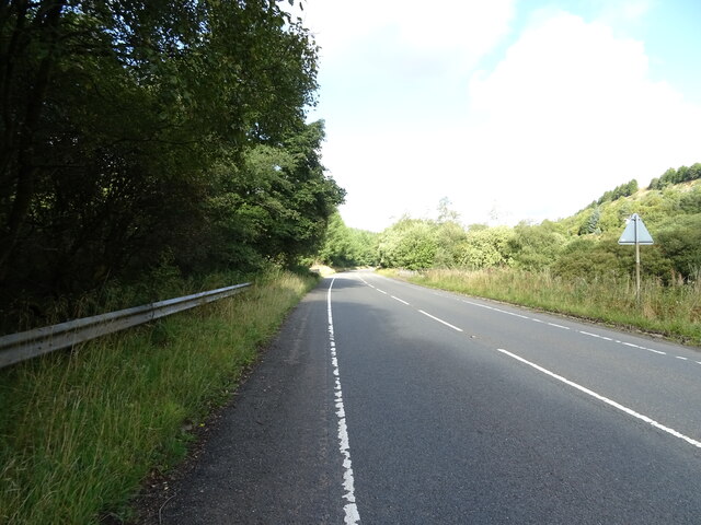
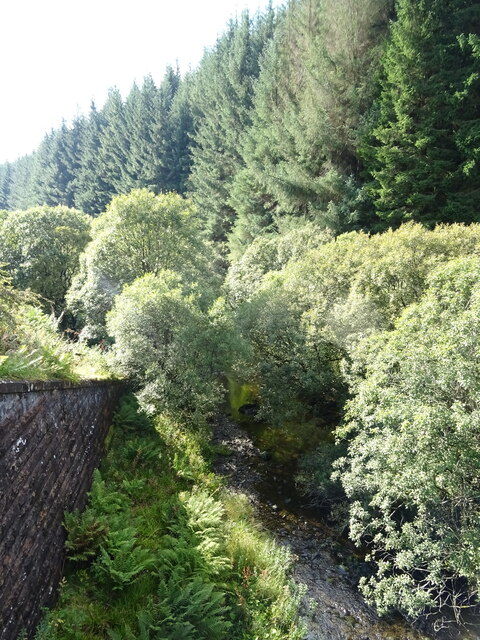
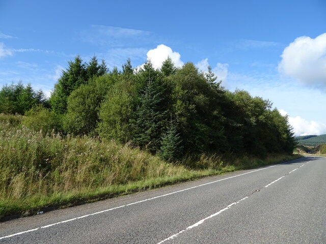
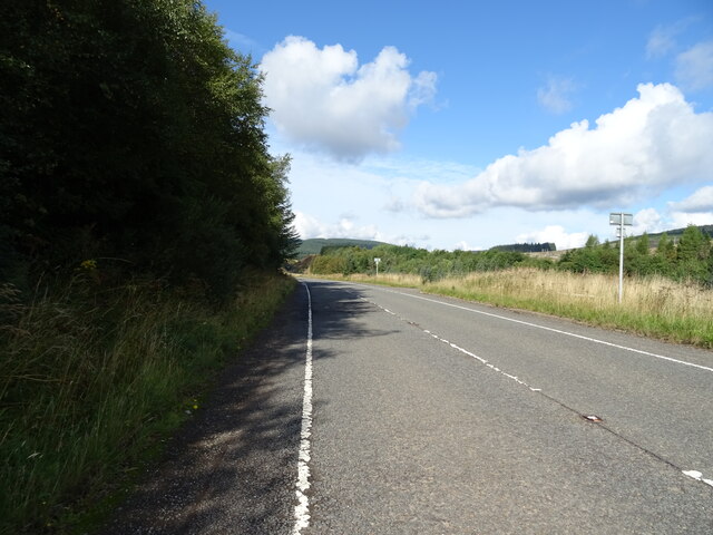
Tinny Bank Images
Images are sourced within 2km of 55.40245/-3.5443025 or Grid Reference NT0213. Thanks to Geograph Open Source API. All images are credited.
Tinny Bank is located at Grid Ref: NT0213 (Lat: 55.40245, Lng: -3.5443025)
Unitary Authority: South Lanarkshire
Police Authority: Lanarkshire
What 3 Words
///product.twee.supplied. Near Moffat, Dumfries & Galloway
Nearby Locations
Related Wikis

Annanhead Hill
Annanhead Hill is a 478-metre (1,568 ft) summit in the Moffat Hills of Scotland. It lies on the boundary between the Scottish Borders and Dumfries and...
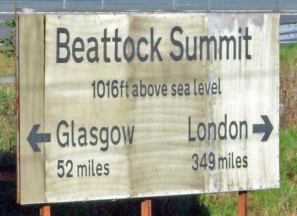
Beattock Summit
Beattock Summit is the highest point of the West Coast Main Line (WCML) railway and of the A74(M) motorway as they cross between Dumfries and Galloway...

Devil's Beef Tub
The Devil's Beef Tub (Marquis of Annandale's Beef-Tub, Beef-Stand, MacCleran's Loup) is a deep, dramatic hollow in the hills north of the Scottish town...

Greenhillstairs
Greenhillstairs is the steep B719 road north of Moffat in Dumfries and Galloway, Scotland. The road, about 3 miles long, leaves the A701 Moffat to Edinburgh...
Nearby Amenities
Located within 500m of 55.40245,-3.5443025Have you been to Tinny Bank?
Leave your review of Tinny Bank below (or comments, questions and feedback).