Upper Esgair Hill
Hill, Mountain in Radnorshire
Wales
Upper Esgair Hill

The requested URL returned error: 429 Too Many Requests
If you have any feedback on the listing, please let us know in the comments section below.
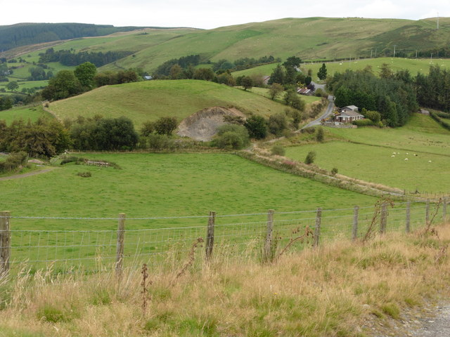
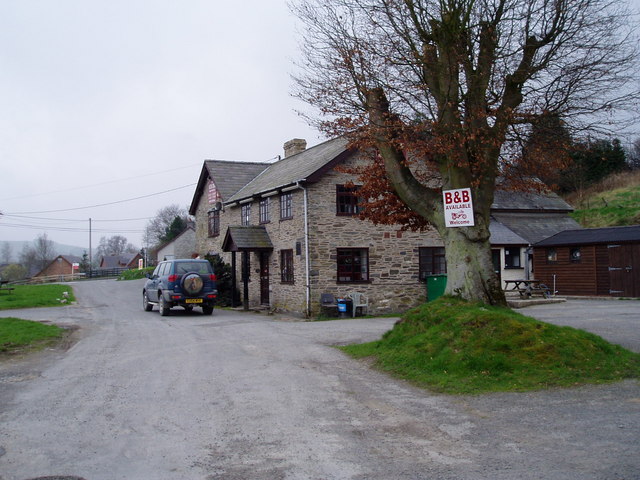
Upper Esgair Hill Images
Images are sourced within 2km of 52.348865/-3.4356281 or Grid Reference SO0273. Thanks to Geograph Open Source API. All images are credited.


Upper Esgair Hill is located at Grid Ref: SO0273 (Lat: 52.348865, Lng: -3.4356281)
Unitary Authority: Powys
Police Authority: Dyfed Powys
What 3 Words
///linked.punters.title. Near Rhayader, Powys
Nearby Locations
Related Wikis
St Harmon
St Harmon (Welsh: Llanarmon) is a village in Radnorshire, Powys, Wales. The population of the Community at the 2011 census was 593. It is located on the...
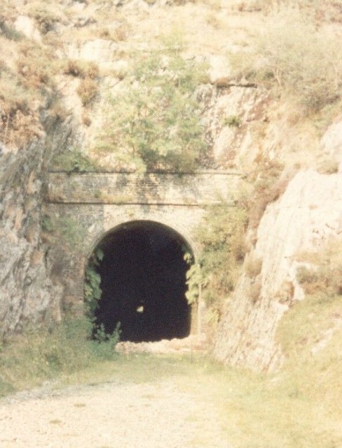
St Harmons railway station
St Harmons railway station was a station in St Harmon, Powys, Wales. The station opened in 1872 and closed in 1962. == References == == Further reading... ==

Abbey Cwmhir Hall
Abbey-Cwm-Hir Hall is a neo-Elizabethan country house in the Welsh county of Powys. == History == The hall was built in 1833 for Thomas Wilson, a London...

Abbeycwmhir
Abbeycwmhir or Abbey Cwmhir (Welsh: Abaty Cwm Hir, "Abbey in the Long Valley") is a village and community in the valley of the Nant Clywedog in Radnorshire...
Nearby Amenities
Located within 500m of 52.348865,-3.4356281Have you been to Upper Esgair Hill?
Leave your review of Upper Esgair Hill below (or comments, questions and feedback).