Cow Hill
Hill, Mountain in Midlothian
Scotland
Cow Hill
Cow Hill is a prominent hill located in Midlothian, Scotland. Situated approximately 6 miles southeast of the city of Edinburgh, it forms part of the Pentland Hills range. Rising to an elevation of 1,392 feet (424 meters), Cow Hill offers breathtaking panoramic views of the surrounding countryside, making it a popular destination for outdoor enthusiasts, hikers, and nature lovers.
The hill is characterized by its gentle slopes and grassy terrain, which make it relatively accessible for walkers of varying abilities. A well-maintained trail leads to the summit, guiding visitors through patches of heather and bracken, and offering occasional encounters with local wildlife such as grouse and rabbits.
At the top of Cow Hill, visitors are rewarded with stunning vistas of the Pentland Hills Regional Park and the nearby reservoirs of Threipmuir, Harlaw, and Clubbiedean. On clear days, it is even possible to catch glimpses of the Firth of Forth and the city of Edinburgh in the distance.
Apart from its natural beauty, Cow Hill also holds historical significance. In the past, it was used for grazing livestock, hence its name. The hill's position also made it an important vantage point during military operations, with remnants of fortifications and observation posts still visible today.
Overall, Cow Hill in Midlothian offers visitors a perfect blend of natural beauty, recreational opportunities, and a glimpse into the region's history. Whether it's for a leisurely walk, a challenging hike, or simply to enjoy the breathtaking views, Cow Hill is a must-visit destination for both locals and tourists alike.
If you have any feedback on the listing, please let us know in the comments section below.
Cow Hill Images
Images are sourced within 2km of 55.839433/-3.5712453 or Grid Reference NT0161. Thanks to Geograph Open Source API. All images are credited.


Cow Hill is located at Grid Ref: NT0161 (Lat: 55.839433, Lng: -3.5712453)
Unitary Authority: West Lothian
Police Authority: The Lothians and Scottish Borders
What 3 Words
///option.danger.hospitals. Near West Calder, West Lothian
Related Wikis
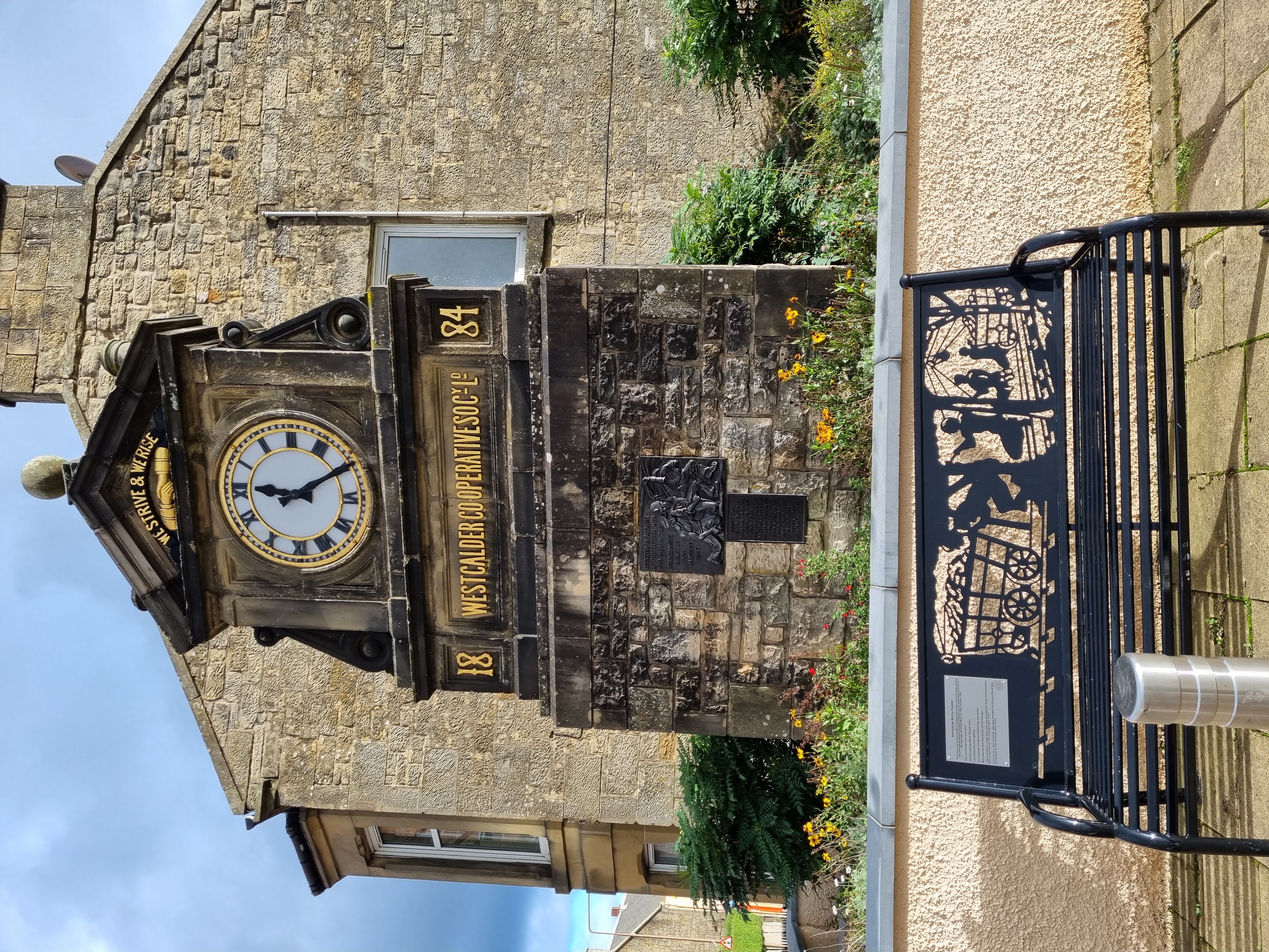
Burngrange mining disaster
Burngrange is an area of the Scottish village West Calder. Situated at the far west of the village it mainly consists of housing constructed for the areas...

West Calder
West Calder (Scots: Wast Cauder, Scottish Gaelic: Caladar an Iar) is a village in the council area of West Lothian, Scotland, located four miles west of...
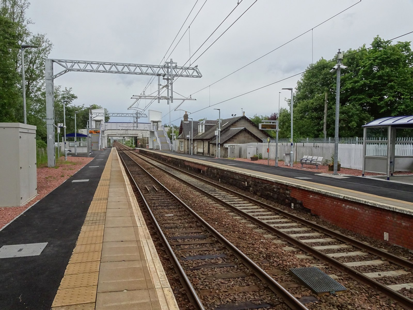
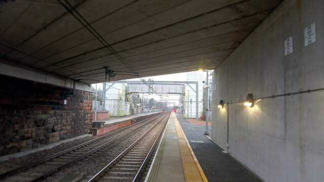
West Calder railway station
West Calder railway station is a railway station serving West Calder in West Lothian, Scotland. It is located on the Shotts Line, 17 miles (28 km) west...

West Calder High School
West Calder High School is a secondary school in West Calder, West Lothian, Scotland. The current school building was officially opened in 2018 by former...
Nearby Amenities
Located within 500m of 55.839433,-3.5712453Have you been to Cow Hill?
Leave your review of Cow Hill below (or comments, questions and feedback).