Hartwood
Settlement in Midlothian
Scotland
Hartwood
Hartwood is a charming village located in Midlothian, Scotland. Situated approximately 12 miles south-west of Edinburgh, Hartwood is nestled amidst picturesque countryside, offering residents and visitors a tranquil and scenic environment.
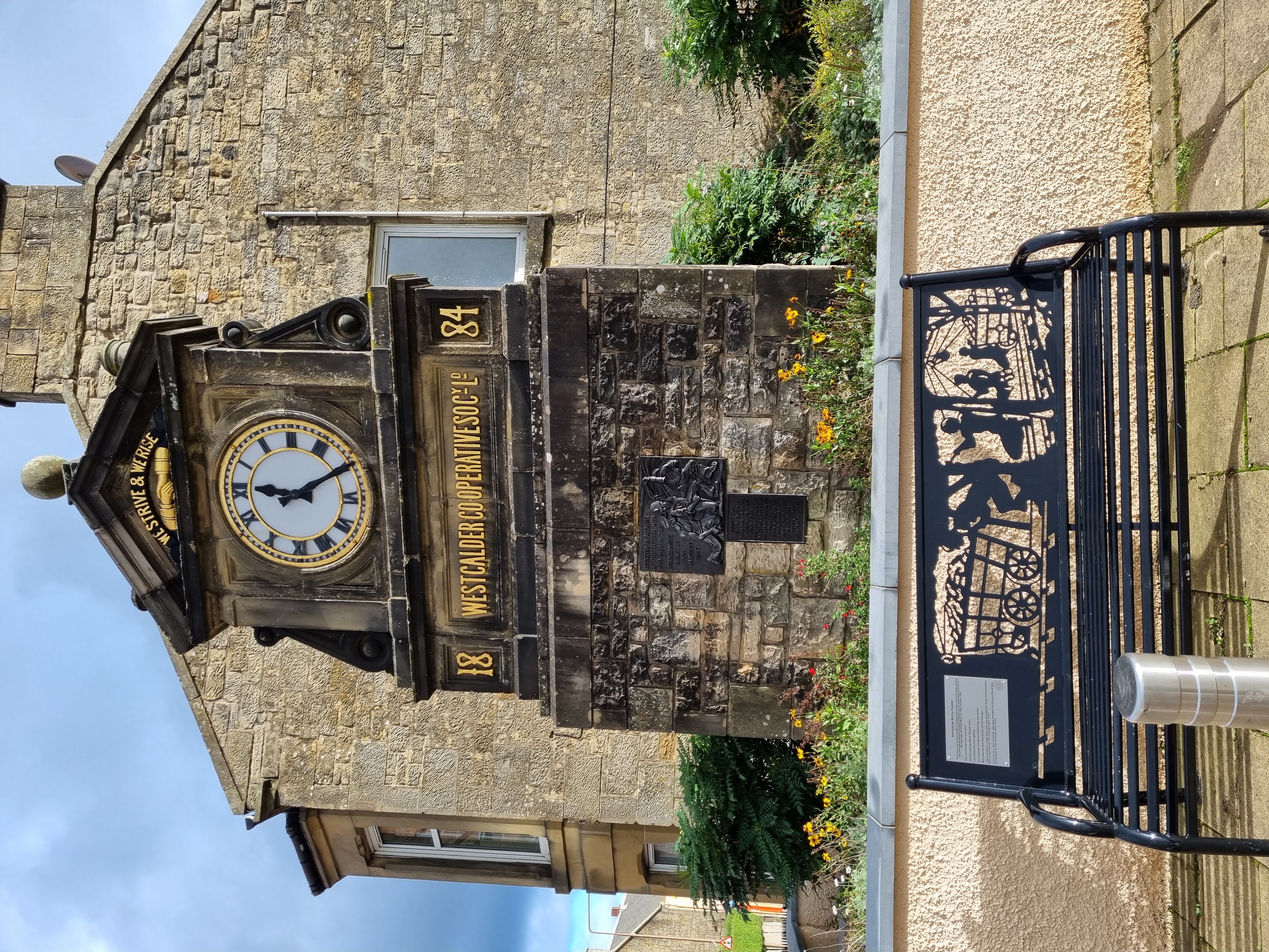
The village is known for its rich history, dating back to the medieval era. It is home to several historic landmarks, including Hartwood Church, a stunning 19th-century building with beautiful stained glass windows and intricate architectural details. The church serves as a focal point for the community and holds regular religious services and community events.
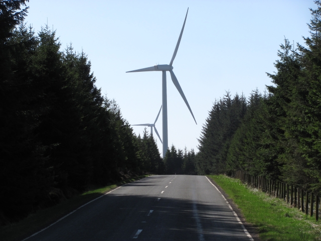
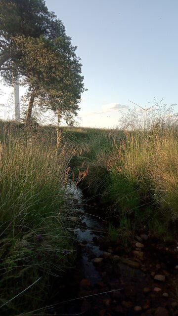
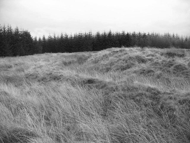
Hartwood is also renowned for its natural beauty, with numerous walking and cycling trails that wind through the surrounding countryside. The village is surrounded by lush green fields and rolling hills, providing breathtaking views at every turn. It is a popular destination for outdoor enthusiasts, who can explore the nearby Hartwoodhill Nature Reserve, a haven for wildlife and a perfect spot for birdwatching and nature walks.
Despite its small size, Hartwood has a close-knit and welcoming community. The village hosts various social gatherings and events throughout the year, such as the annual Hartwood Festival, where residents come together to celebrate their local heritage and enjoy live music, food, and entertainment.
With its idyllic setting and warm community spirit, Hartwood offers a peaceful retreat from the hustle and bustle of city life, making it a desirable place to live or visit for those seeking a slower pace and a connection to nature.
If you have any feedback on the listing, please let us know in the comments section below.
Hartwood Images
Images are sourced within 2km of 55.832042/-3.5821078 or Grid Reference NT0161. Thanks to Geograph Open Source API. All images are credited.


Hartwood is located at Grid Ref: NT0161 (Lat: 55.832042, Lng: -3.5821078)
Unitary Authority: West Lothian
Police Authority: The Lothians and Scottish Borders
What 3 Words
///nicely.airfields.nicely. Near Addiebrownhill, West Lothian
Related Wikis
Castle Greg
Castle Greg is the archaeological remains of a Roman fortlet in Harburn on the Camilty Plantation, approximately three miles south-east of West Calder...
Burngrange mining disaster
Burngrange is an area of the Scottish village West Calder. Situated at the far west of the village it mainly consists of housing constructed for the areas...
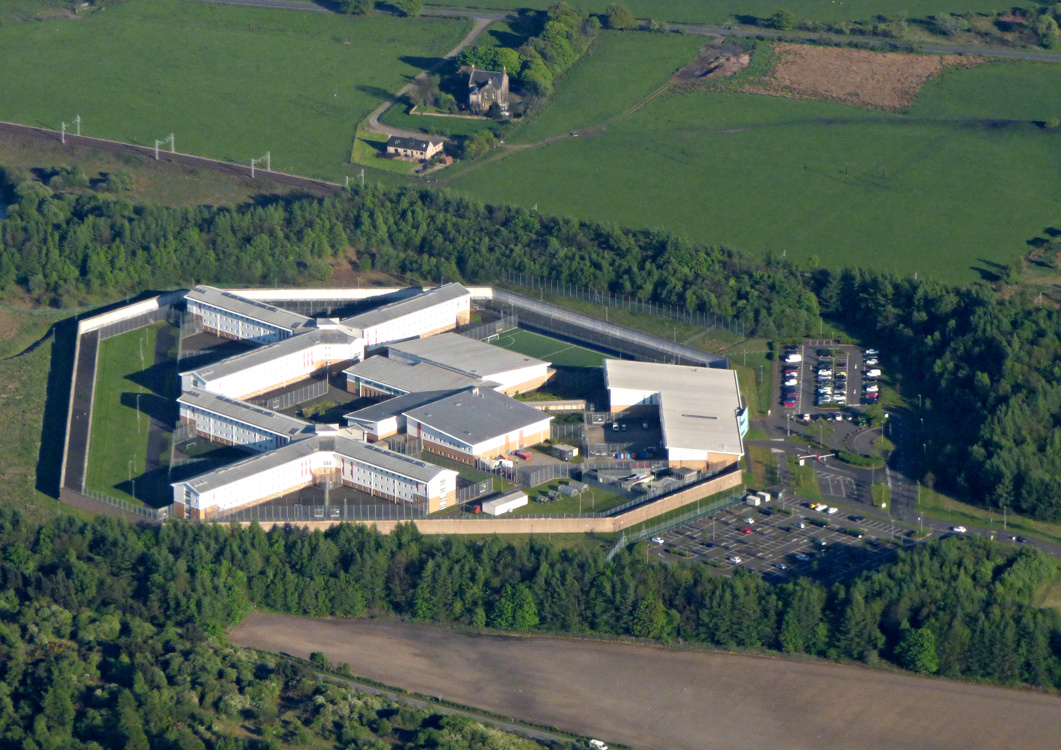
HM Prison Addiewell
HMP Addiewell is a private prison located near to the village of Addiewell in West Lothian, Scotland. HMP Addiewell is operated by Sodexo Justice Services...
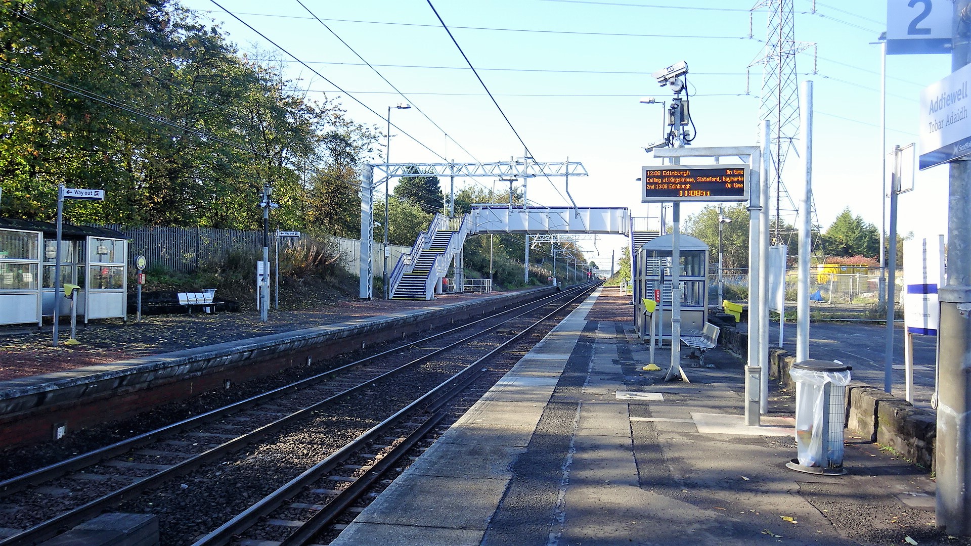
Addiewell railway station
Addiewell railway station is a railway station serving Addiewell in West Lothian, Scotland. It is located on the Shotts Line from Glasgow Central to Edinburgh...
Have you been to Hartwood?
Leave your review of Hartwood below (or comments, questions and feedback).