Airds Hill

Hill, Mountain in Kirkcudbrightshire

Scotland

Airds Hill

Nith Estuary at Scar Point
Nith Estuary at Scar Point Credit: David Dixon

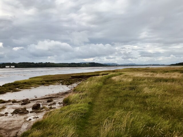
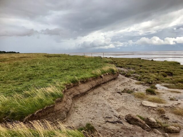
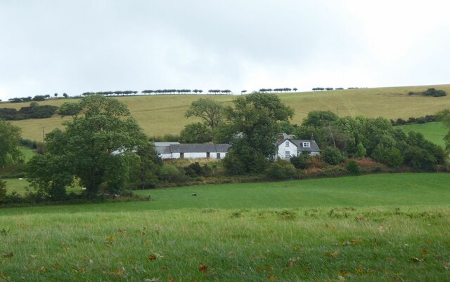
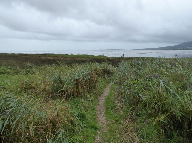
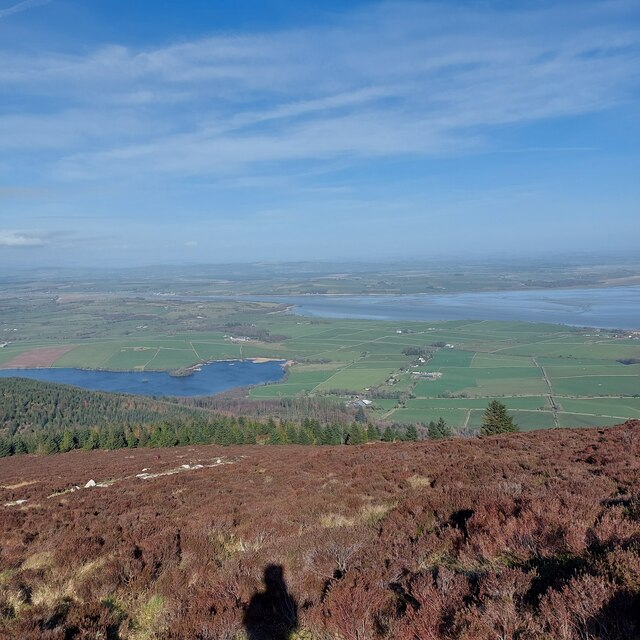
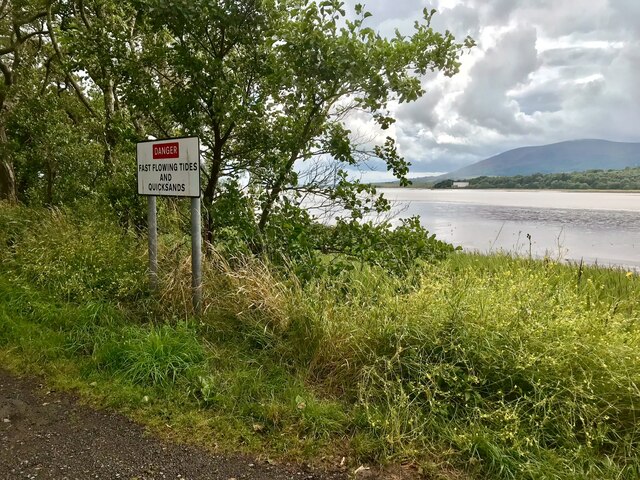
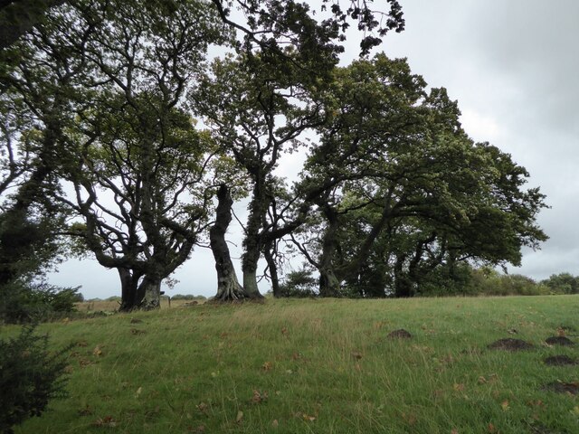
Airds Hill is a prominent hill located in the region of Kirkcudbrightshire, Scotland. It stands at an elevation of approximately 223 meters (732 feet) and offers breathtaking panoramic views of the surrounding landscapes. Situated on the outskirts of Kirkcudbright town, Airds Hill is easily accessible to both locals and tourists.

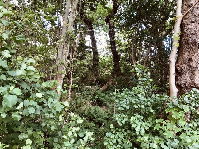
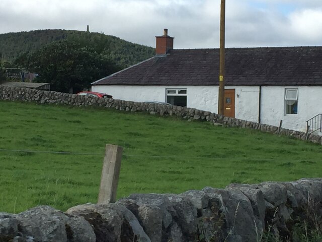
The hill is characterized by its gentle slopes, covered mostly with lush green grass and occasional patches of heather. It is primarily composed of sedimentary rock, providing a stable foundation for its vegetation. Airds Hill is known for its diversity of flora and fauna, with a variety of wildflowers, shrubs, and small trees dotting its slopes.

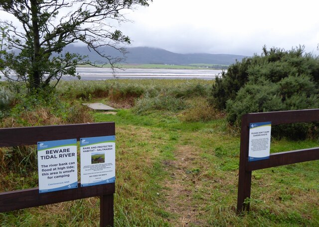
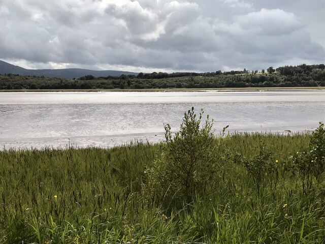
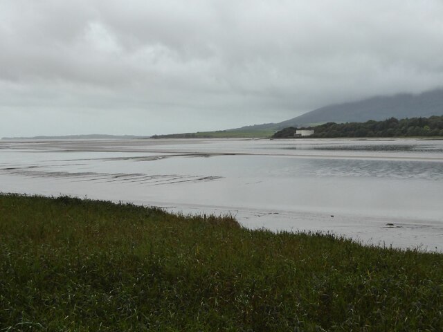
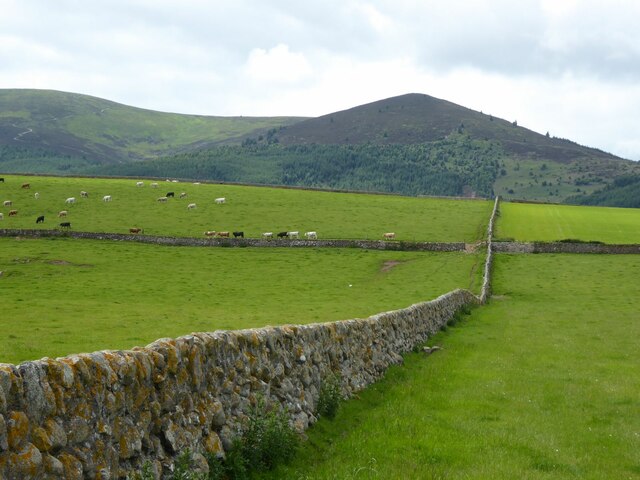
The summit of Airds Hill is marked by a trig point, offering an ideal vantage point for visitors to admire the beauty of the Solway Firth and the rolling hills of Dumfries and Galloway. On a clear day, it is even possible to catch a glimpse of the Lake District in England. The hill also provides an excellent spot for birdwatching, with numerous species of birds inhabiting the area.

Airds Hill is a popular destination for outdoor enthusiasts, offering several walking trails and paths for hikers to explore. The hill provides a peaceful and serene environment, making it an ideal place for picnics or simply enjoying the tranquility of nature. Whether one seeks a leisurely stroll or a more challenging hike, Airds Hill caters to a variety of preferences and fitness levels.

Overall, Airds Hill stands as a picturesque and accessible natural landmark in Kirkcudbrightshire, offering visitors a chance to immerse themselves in the stunning Scottish countryside and enjoy the serenity of the great outdoors.

If you have any feedback on the listing, please let us know in the comments section below.
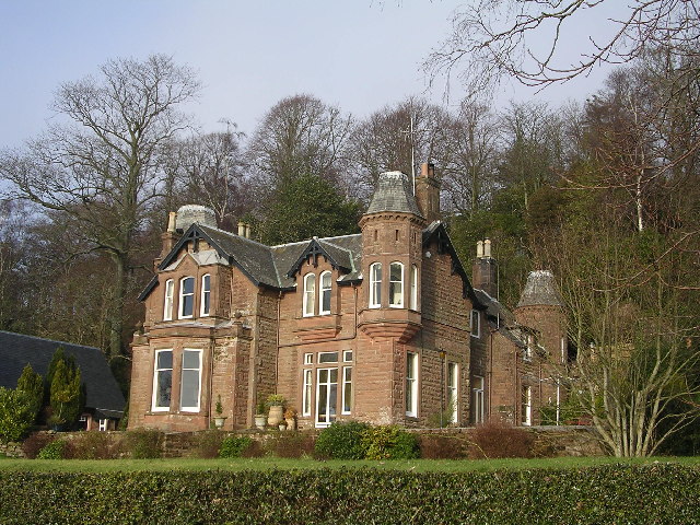
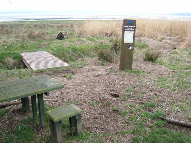
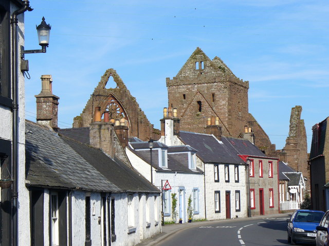
Airds Hill Images

Images are sourced within 2km of 54.982358/-3.583763 or Grid Reference NX9866. Thanks to Geograph Open Source API. All images are credited.

Nith Estuary at Scar Point
Nith Estuary Salt Marshes, Caerlaverock Nature Reserve
Langyards Wood
Langyards Wood
Banks farm On the slopes rising from the River Nith.
Banks farm
On the slopes rising from the River Nith.
Path to the shore Near Scar Point.
Overlooking the Nith estuary.
Path to the shore
Near Scar Point. Overlooking the Nith estuary.
Information and warning signs The path leads down to the saltmarsh.
Saltmarsh is a rare habitat with only about 5400ha around the Scottish coast; that's slightly less than the area of the City of Aberdeen.  The marsh shores of the Solway Firth make up 40% of this total.
Information and warning signs
The path leads down to the saltmarsh. Saltmarsh is a rare habitat with only about 5400ha around the Scottish coast; that's slightly less than the area of the City of Aberdeen. The marsh shores of the Solway Firth make up 40% of this total.
House at Kenneth Bank Looking out across the Nith estuary.
House at Kenneth Bank
Looking out across the Nith estuary.
River Nith Estuary from Summit of Criffell March 2022 The Nith estuary is a tributary of the Solway Firth, overlooked by the prominent distinctive hill, Criffell.  The estuary dries at low tide, leaving a narrow river channel, and exposing the extensive Blackshaw Bank - a favoured feeding ground for waders and waterfowl. In the middle ground, just at the foot of Criffell, lies Loch Kindar.  The ruined Kirk Kindar stands on a small islet.
River Nith Estuary from Summit of Criffell March 2022
The Nith estuary is a tributary of the Solway Firth, overlooked by the prominent distinctive hill, Criffell. The estuary dries at low tide, leaving a narrow river channel, and exposing the extensive Blackshaw Bank - a favoured feeding ground for waders and waterfowl. In the middle ground, just at the foot of Criffell, lies Loch Kindar. The ruined Kirk Kindar stands on a small islet.
Nith Estuary,  Beware Fast Flowing Tides and Quicksands Warning notice between Shore Road and the estuary.
Nith Estuary, Beware Fast Flowing Tides and Quicksands
Warning notice between Shore Road and the estuary.
River Nith, south of Glencaple
House near the A710 South of New Abbey. On the horizon the Waterloo Monument is just visible.
House near the A710
South of New Abbey. On the horizon the Waterloo Monument is just visible.
Mudflats at the mouth of the River Nith With Airds Point on the far bank with two large tanks at the sewage works there.
Mudflats at the mouth of the River Nith
With Airds Point on the far bank with two large tanks at the sewage works there.
Wind blown trees in hedge Beside the B725 Shore Road.
Wind blown trees in hedge
Beside the B725 Shore Road.
Cattle in stone walled fields The shapely Cairn Knockendoch in the centre leading left up to Criffel.
Cattle in stone walled fields
The shapely Cairn Knockendoch in the centre leading left up to Criffel.
Carse downstream from New Abbey To the end of the wall and across the New Abbey Pow.
Carse downstream from New Abbey
To the end of the wall and across the New Abbey Pow.
Scottish National Heritage nr Caerlaverock View across the Nith Estuary, Dumfries & Galloway.
Scottish National Heritage nr Caerlaverock
View across the Nith Estuary, Dumfries & Galloway.
House at Kenneth Bank
Caerlaverock National Nature Reserve At the very northern end of the reserve. Nith estuary beyond.
Caerlaverock National Nature Reserve
At the very northern end of the reserve. Nith estuary beyond.
Show me another place!

Airds Hill is located at Grid Ref: NX9866 (Lat: 54.982358, Lng: -3.583763)

Unitary Authority: Dumfries and Galloway

Police Authority: Dumfries and Galloway

What 3 Words

///impresses.sleep.soak. Near Dumfries, Dumfries & Galloway

Nearby Locations

Airds Hill

Related Wikis

Abbey Vale F.C.

Abbey Vale Football Club are a football club based in the village of New Abbey in the historical county of Kirkcudbright shire in the Dumfries and Galloway...

River Nith

The River Nith (Scottish Gaelic: Abhainn Nid; Common Brittonic: Nowios) is a river in south-west Scotland. The Nith rises in the Carsphairn hills of East...

Sweetheart Abbey

The Abbey of Dulce Cor, better known as Sweetheart Abbey (Gaelic: An Abaid Ur), was a Cistercian monastery founded in 1275 in what is now the village of...

New Abbey

New Abbey (Scottish Gaelic: An Abaid Ùr) is a village in the historical county of Kirkcudbrightshire in Dumfries and Galloway, Scotland. It is 6 miles...

Glencaple

Glencaple is a small settlement in the Dumfries and Galloway area of Scotland. Situated on the banks of the River Nith, it once served as a port for nearby...

National Museum of Costume

The National Museum of Costume was located at Shambellie House, in New Abbey, Dumfries and Galloway, Scotland and it formed part of the National Museums...

Caerlaverock Castle

Caerlaverock Castle is a moated triangular castle first built in the 13th century. It is located on the southern coast of Scotland, eleven kilometres...

Bankend, Dumfries and Galloway

Bankend is a village in Dumfries and Galloway, Scotland. It is located near Lochar Water, the civil parish Caerlaverock and the villages of Blackshaw,...

Nearby Amenities

Located within 500m of 54.982358,-3.583763
Airds Hill
Ele: 58
Natural: peak
Lat/Long: 54.9823292/-3.5837278
Airds Point Tanks
Man Made: yes
Lat/Long: 54.9805314/-3.5767863
Airds point
Place: locality
Source: PGS
Lat/Long: 54.9792252/-3.5785256
Power: pole
Lat/Long: 54.9855522/-3.5891935
Power: pole
Lat/Long: 54.9847615/-3.5890386
Power: pole
Lat/Long: 54.9841068/-3.5890972
Power: pole
Lat/Long: 54.9833592/-3.5892076
Power: pole
Lat/Long: 54.9825442/-3.5893109
Power: pole
Lat/Long: 54.9816389/-3.58944
Power: pole
Lat/Long: 54.9807686/-3.5895433
Power: pole
Lat/Long: 54.9814032/-3.5882873
Power: pole
Lat/Long: 54.979377/-3.588846
Power: pole
Lat/Long: 54.9794538/-3.5878671
Power: pole
Lat/Long: 54.9795211/-3.5870032
Power: pole
Lat/Long: 54.9796141/-3.5856768
Power: pole
Lat/Long: 54.9797124/-3.5842823
Power: pole
Lat/Long: 54.9798148/-3.5829394
Power: pole
Lat/Long: 54.9798741/-3.5817821
Power: pole
Lat/Long: 54.9799374/-3.5805449
Power: pole
Lat/Long: 54.9799913/-3.5792725
Power: pole
Lat/Long: 54.98006/-3.5780376
The data included in this document is from www.openstreetmap.org. The data is made available under ODbL.

Have you been to Airds Hill?

Leave your review of Airds Hill below (or comments, questions and feedback).