Moel Heulog
Hill, Mountain in Merionethshire
Wales
Moel Heulog

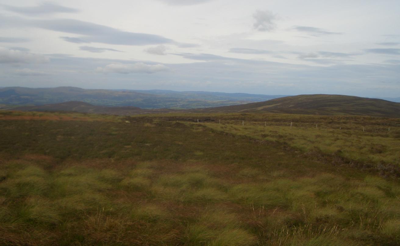
Moel Heulog is a prominent hill located in the county of Merionethshire, Wales. Situated within the Snowdonia National Park, the hill is part of the beautiful and rugged landscape that characterizes the region. Standing at an elevation of 736 meters (2,415 feet), Moel Heulog offers stunning panoramic views of the surrounding areas.
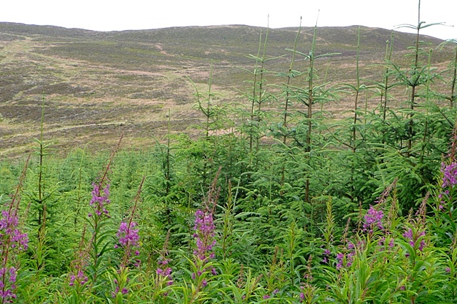
The hill is primarily composed of slate, which is a common geological feature in this part of Wales. The slopes of Moel Heulog are covered in a mixture of heather, grasses, and occasional patches of bracken, adding to the natural beauty of the hill. The summit is relatively flat, providing ample space for visitors to enjoy the breathtaking vistas and take in the tranquility of the surroundings.
Moel Heulog is a popular destination for hikers and nature enthusiasts due to its accessibility and the rewarding views it offers. Several well-marked trails lead to the summit, catering to different levels of hiking experience. The hill is also frequented by birdwatchers, as it provides an ideal habitat for various bird species, including buzzards and red kites.
In addition to its natural attractions, Moel Heulog is steeped in history. The area has evidence of Bronze Age settlements, and remnants of ancient stone walls can still be found scattered across the landscape. These historical features add an extra layer of fascination to the hill, creating an engaging experience for those interested in the region's past.
Overall, Moel Heulog is a captivating hill in Merionethshire, offering a blend of natural beauty, outdoor activities, and historical significance, making it a must-visit destination for anyone exploring the Snowdonia National Park.
If you have any feedback on the listing, please let us know in the comments section below.
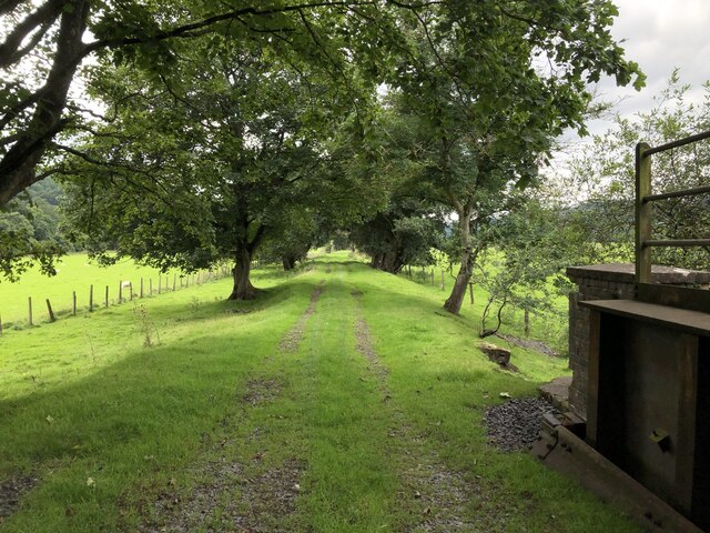
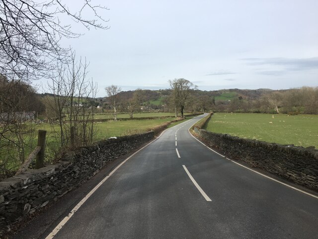
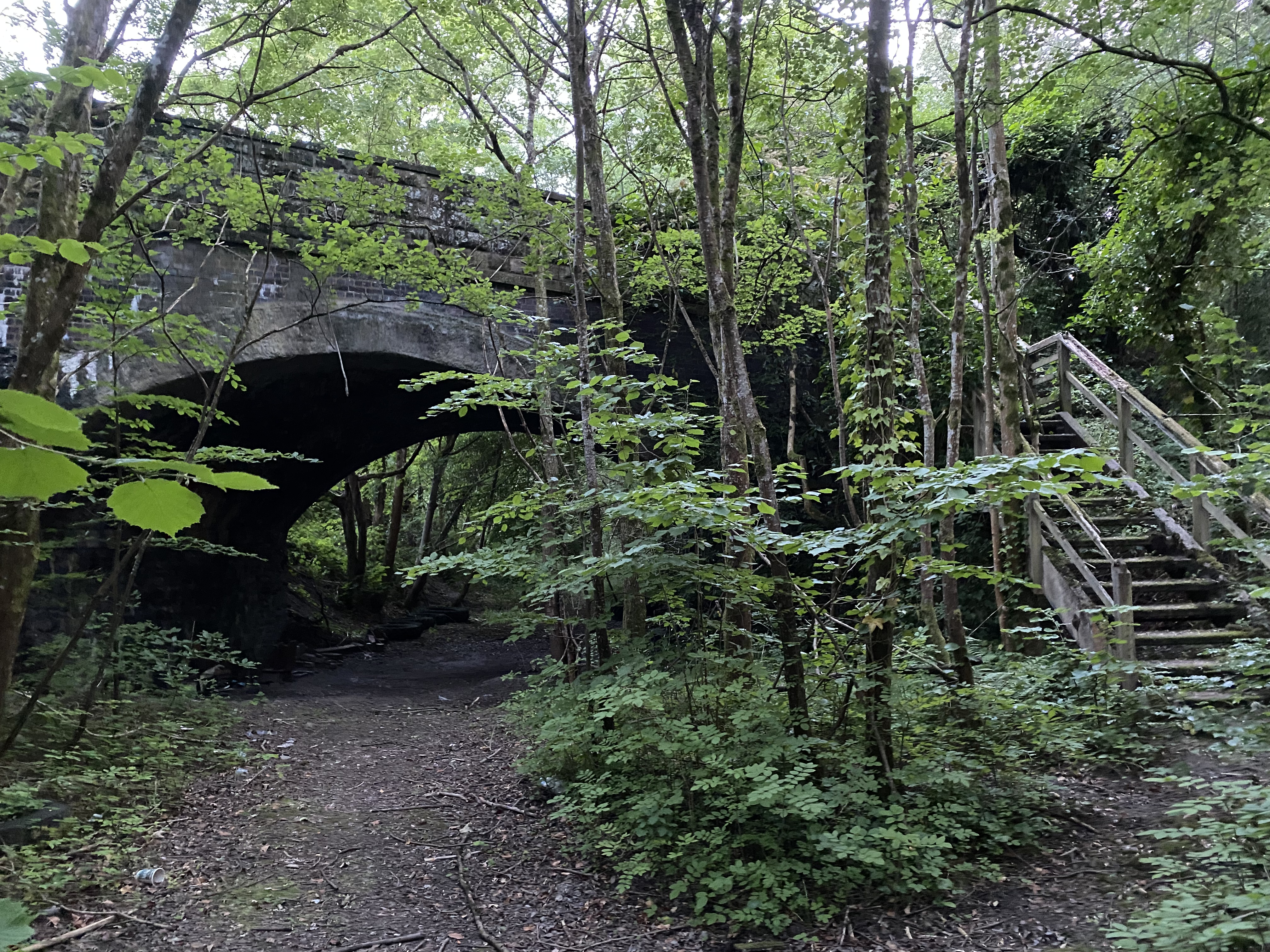
Moel Heulog Images
Images are sourced within 2km of 52.90655/-3.5069825 or Grid Reference SH9835. Thanks to Geograph Open Source API. All images are credited.


Moel Heulog is located at Grid Ref: SH9835 (Lat: 52.90655, Lng: -3.5069825)
Unitary Authority: Gwynedd
Police Authority: North Wales
What 3 Words
///obligated.extend.comedians. Near Llandrillo, Denbighshire
Nearby Locations
Related Wikis
Llandderfel railway station
Llandderfel railway station in Gwynedd, Wales, was a station on the Ruabon to Barmouth line. It closed to passengers ahead of the scheduled closure date...

Llandderfel
Llandderfel is a village and a sparsely populated community in Gwynedd, Wales, near Bala, formerly served by the Llandderfel railway station. The community...
Rhiwaedog
Rhiwaedog is the name of an ancient estate in North Wales, located in the Penllyn forest near Bala, Gwynedd. It gives its name today to two hills, Rhiwaedog...

Cefnddwysarn
Cefnddwysarn () is a small village in Gwynedd, Wales. It is located on the A494 road approximately 3 miles east of the town of Bala and 8 miles west of...
Foel Cwm Sian Llŵyd
Foel Cwm Sian Llŵyd is a subsidiary summit of Cyrniau Nod in north east Wales. It forms a part of the Berwyn range known as the Hirnantau. Its summit has...
Roman Catholic Diocese of Wrexham
The Diocese of Wrexham, is a Latin Church ecclesiastical territory or diocese of the Catholic Church in Wales. The diocese is a suffragan in the ecclesiastical...
Rhos-y-gwaliau
Rhos-y-gwaliau is a small hamlet in Meirionnydd, Gwynedd, North Wales, about 1.5 miles (2.4 km) south-east of Bala. It is home to the Rhos y Gwaliau Outdoor...
Llandrillo railway station
Llandrillo railway station (ɬandriːɬɔ) in Denbighshire, Wales, was a station on the Ruabon to Barmouth line. It was to have closed to passengers on Monday...
Related Videos

Pale Hall Wales 720p30
Overight stay in Pale Hall, Nr Bala in NW Wales Music; Jane Street - Track Tribe, Strollin' - Track Tribe.
Plot 68 Willerby Brenig
This brand new 2021 Willerby is one not to be missed, whether your looking for an upgrade or looking to start a new life being a ...

Llandderfel, Wales
Mavic2 flight click and.

Pale Hall Lunch
Went to have lunch my parents at Pale Hall Hotel in Bala , never been so was a great place to go . Was a amazing location and ...
Nearby Amenities
Located within 500m of 52.90655,-3.5069825Have you been to Moel Heulog?
Leave your review of Moel Heulog below (or comments, questions and feedback).