Creag Leathan
Hill, Mountain in Caithness
Scotland
Creag Leathan
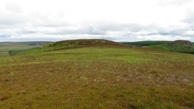
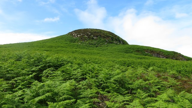
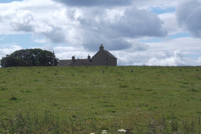
Creag Leathan is a prominent hill located in Caithness, Scotland. It is part of the Scottish Highlands and offers breathtaking views of the surrounding landscape. Standing at an elevation of approximately 259 meters (850 feet), Creag Leathan is not considered a particularly tall mountain, but its location and natural beauty make it a popular destination for hikers and nature enthusiasts.
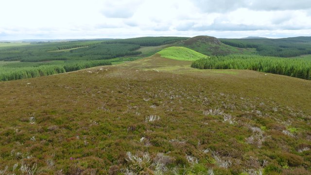
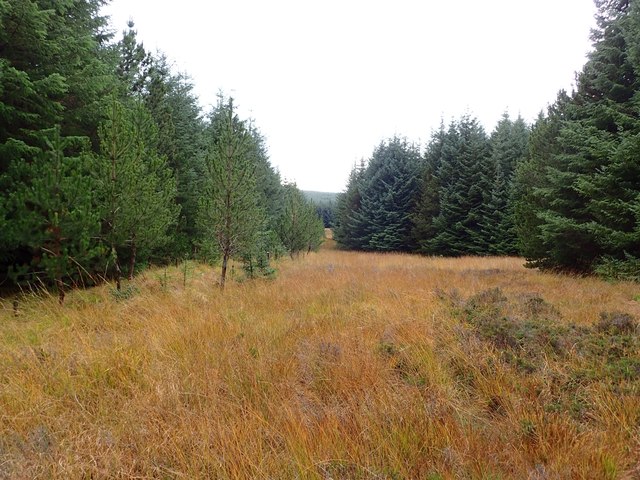
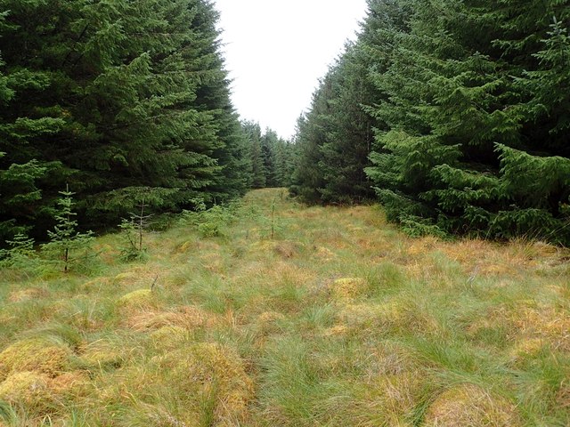
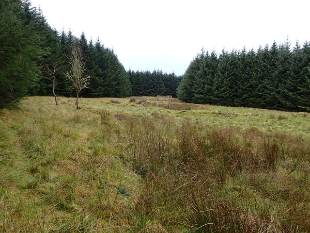
The hill is characterized by its gently sloping sides, covered in heather, grass, and scattered shrubs. It is composed of sedimentary rocks, primarily sandstone and limestone, which give it a unique geological structure. The hill's summit is relatively flat, allowing visitors to easily explore and take in the panoramic vistas that stretch across the region.
Creag Leathan is home to a diverse range of flora and fauna, including several species of birds, such as peregrine falcons and red grouse, as well as various wildflowers and mosses. The surrounding area is also known for its archaeological sites, with ancient burial cairns and stone circles scattered throughout the landscape.
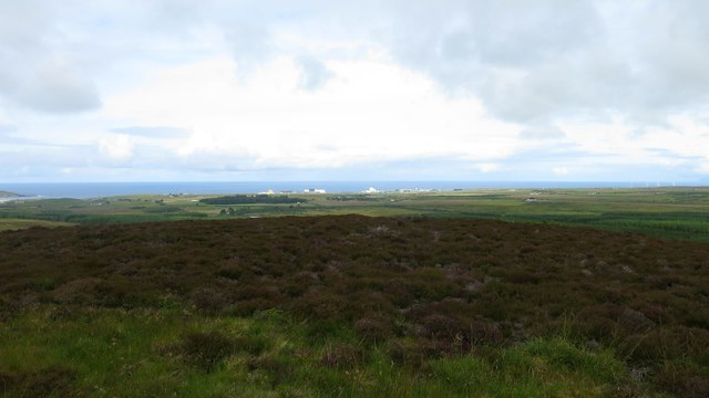
Access to Creag Leathan is relatively straightforward, with a well-marked trail leading to the summit. The hike is considered moderate in difficulty, making it suitable for both experienced and novice hikers. As visitors ascend the hill, they are treated to stunning views of the Caithness coastline, the North Sea, and the nearby hills and mountains.
Overall, Creag Leathan offers a captivating experience for those seeking to immerse themselves in the natural beauty of Caithness, providing a rewarding hike and breathtaking vistas of the Scottish Highlands.
If you have any feedback on the listing, please let us know in the comments section below.
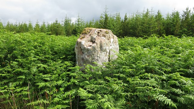
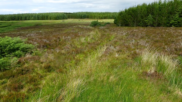
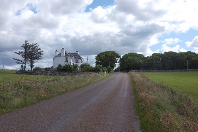
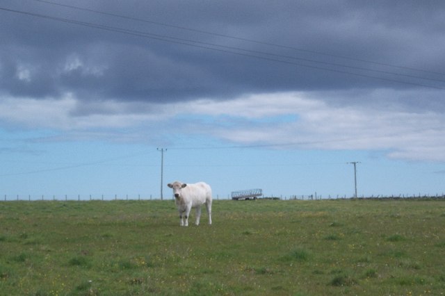
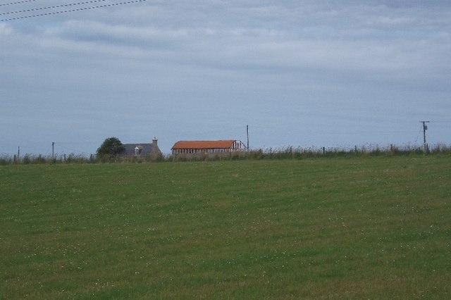
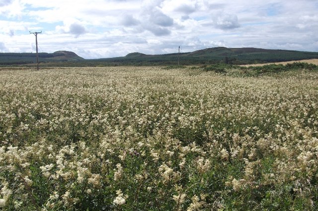
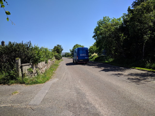
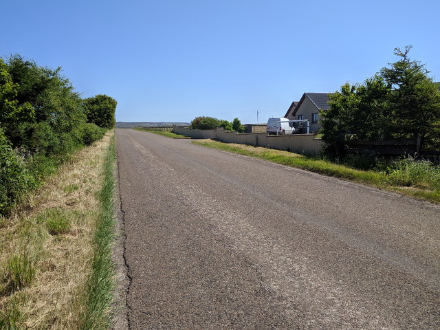
Creag Leathan Images
Images are sourced within 2km of 58.544609/-3.7478671 or Grid Reference NC9863. Thanks to Geograph Open Source API. All images are credited.
Creag Leathan is located at Grid Ref: NC9863 (Lat: 58.544609, Lng: -3.7478671)
Unitary Authority: Highland
Police Authority: Highlands and Islands
What 3 Words
///quilting.wreck.chain. Near Reay, Highland
Nearby Locations
Related Wikis

Achvarasdal
Achvarasdal (from the Norse placename meaning "Barr's valley", with the later, post 13th century addition of the Gaelic Ach-/Achadh- meaning "field") is...

Reay Parish Church
Reay Parish Church is a Church of Scotland parish church serving Reay, Caithness. It is one of the most northerly communities on the Scottish mainland...

Reay
Reay (Scottish Gaelic: Ràth) is a village which has grown around Sandside Bay on the north coast of the Highland council area of Scotland. It is within...

Sandside Chase
The Sandside Chase (The Chase of Sandside, The Chase of Sansett; in Gaelic, Ruoig-Hansett, Ruaig Handside or Ruaig-Shansaid) was a Scottish clan battle...

Shebster
Shebster is a small remote hamlet, which lies 7 miles southwest of Thurso, in northern Caithness, Scottish Highlands and is in the Scottish council area...
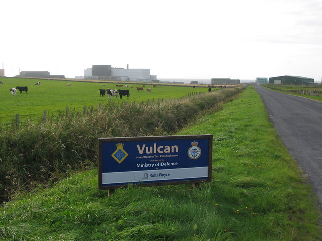
Vulcan Naval Reactor Test Establishment
Vulcan Naval Reactor Test Establishment (NRTE), formerly HMS Vulcan, is a UK Ministry of Defence (MoD) establishment in Scotland, operated by Rolls-Royce...
Dounreay Castle
Dounreay Castle is a ruined 16th-century L-plan castle, about 8 miles (13 km) west of Thurso, Highland (council area), Scotland, within the grounds of...

Fresgoe
Fresgoe is the main harbour for the village of Reay, overlooking Sandside Bay in Caithness in the Scottish highlands. It was built in the early 1830s,...
Nearby Amenities
Located within 500m of 58.544609,-3.7478671Have you been to Creag Leathan?
Leave your review of Creag Leathan below (or comments, questions and feedback).