Birken Hill
Hill, Mountain in Morayshire
Scotland
Birken Hill
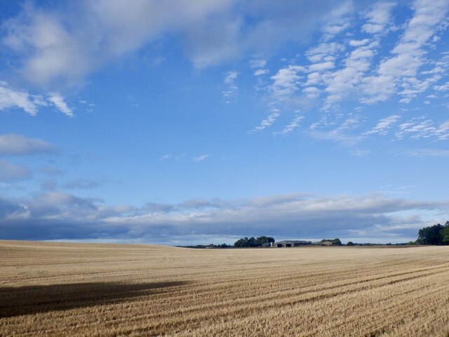
Birken Hill is a prominent hill located in Morayshire, Scotland. It is situated in the northeast region of the country, specifically in the rural area of the Highlands. With an elevation of approximately 425 meters (1,394 feet), it is considered a notable landmark in the region.
The hill boasts a picturesque landscape, characterized by its rolling green slopes and scattered birch trees, from which it derives its name. Birken Hill offers breathtaking views of the surrounding countryside, making it a popular destination for hikers, nature enthusiasts, and photographers. On a clear day, one can see the sprawling Moray Firth, with its shimmering waters and coastal towns, as well as the distant peaks of the Cairngorms National Park.
The area surrounding Birken Hill is rich in wildlife, providing a habitat for various bird species and mammals. Visitors may spot red deer, rabbits, and a variety of birdlife, including buzzards and kestrels. The hill is also home to several plant species, including heather, gorse, and wildflowers, which add to its natural beauty.
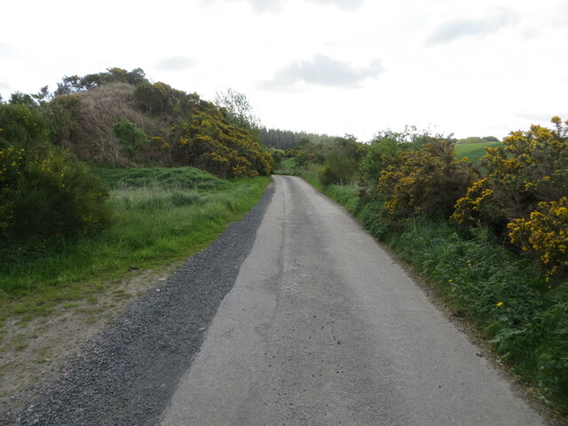
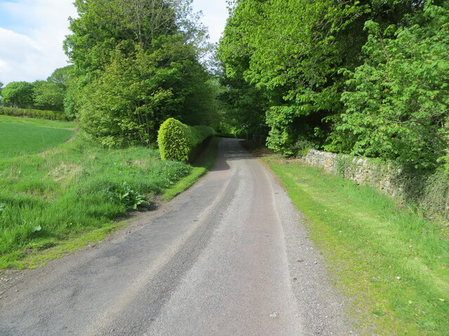
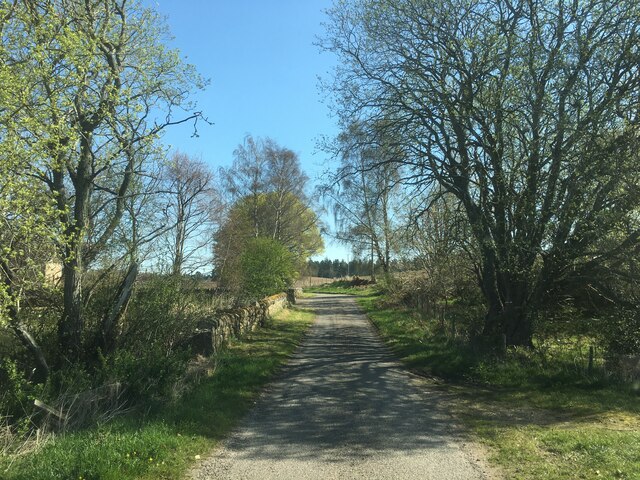
Access to Birken Hill is relatively easy, with a well-maintained path leading to the summit. The ascent takes approximately 30 minutes to an hour, depending on one's pace and fitness level. At the top, there is a viewpoint that offers sweeping vistas of the surrounding countryside, making it an ideal spot for a picnic or simply to soak in the tranquility of the area.
Overall, Birken Hill is a stunning natural feature in Morayshire, offering visitors a chance to connect with nature and enjoy the breathtaking beauty of the Scottish Highlands.
If you have any feedback on the listing, please let us know in the comments section below.
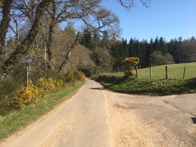
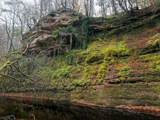
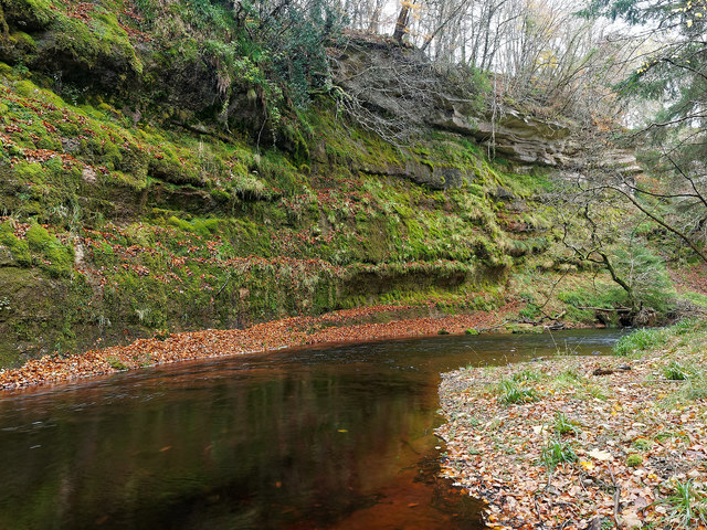
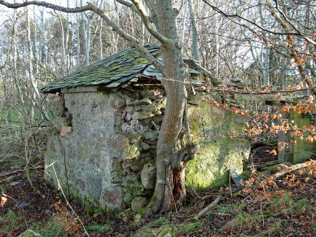
Birken Hill Images
Images are sourced within 2km of 57.570179/-3.7007455 or Grid Reference NH9854. Thanks to Geograph Open Source API. All images are credited.


Birken Hill is located at Grid Ref: NH9854 (Lat: 57.570179, Lng: -3.7007455)
Unitary Authority: Moray
Police Authority: North East
What 3 Words
///bitter.mixture.mainland. Near Forres, Moray
Nearby Locations
Related Wikis

Darnaway Castle
Darnaway Castle, also known as Tarnaway Castle, is located in Darnaway Forest, 3 miles (4.8 km) southwest of Forres in Moray, Scotland. This was Comyn...
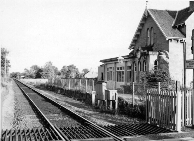
Brodie railway station
Brodie railway station served the area of Brodie, Moray, Scotland from 1857 to 1965 on the Inverness and Aberdeen Junction Railway. == History == The station...

Rodney's Stone
Rodney's Stone is a two-metre high Pictish cross slab now located close on the approach way to Brodie Castle, near Forres, Moray, Scotland. It was originally...

Dyke, Moray
Dyke (Scottish Gaelic: Dìg) is a small village situated in the north of Scotland on the Moray coast, approximately 4 miles west of Forres. The origin of...
Nearby Amenities
Located within 500m of 57.570179,-3.7007455Have you been to Birken Hill?
Leave your review of Birken Hill below (or comments, questions and feedback).