Allt Fawr
Hill, Mountain in Montgomeryshire
Wales
Allt Fawr
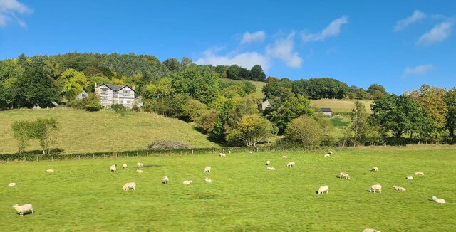
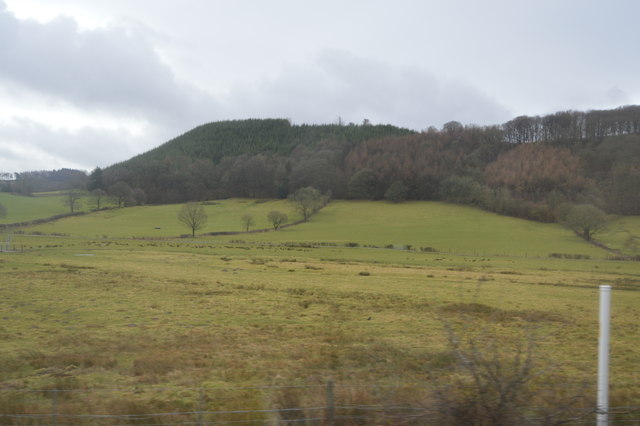
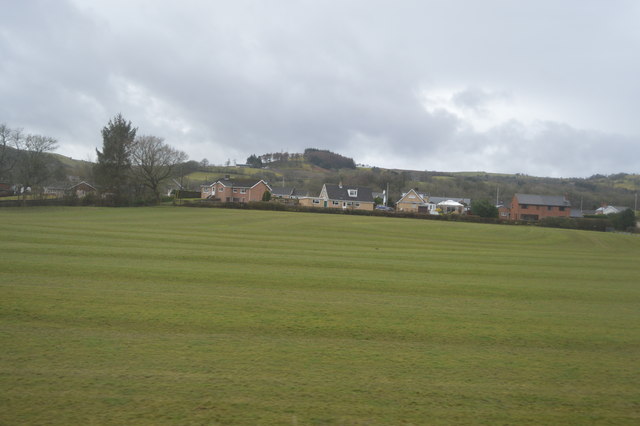
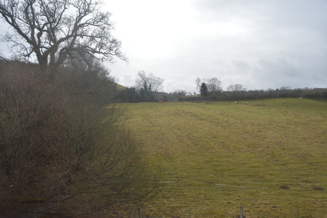
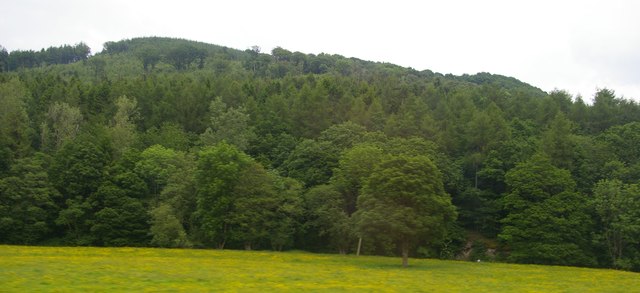
Allt Fawr is a prominent hill located in Montgomeryshire, Wales. Standing at an elevation of 698 meters (2,290 feet), it is considered one of the highest points in the region. It is situated within the southern part of the Cambrian Mountains, offering breathtaking panoramic views of the surrounding landscape.
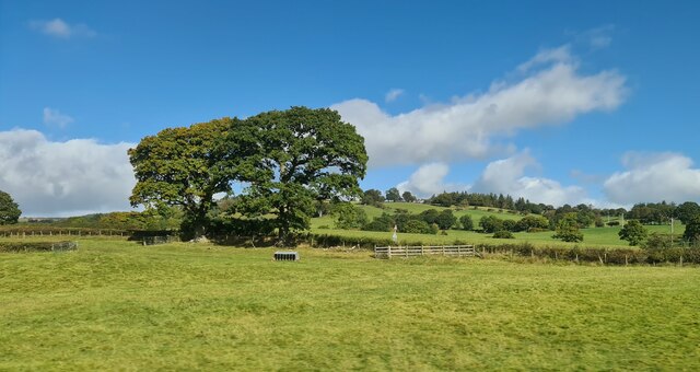
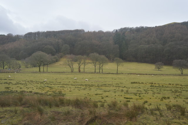
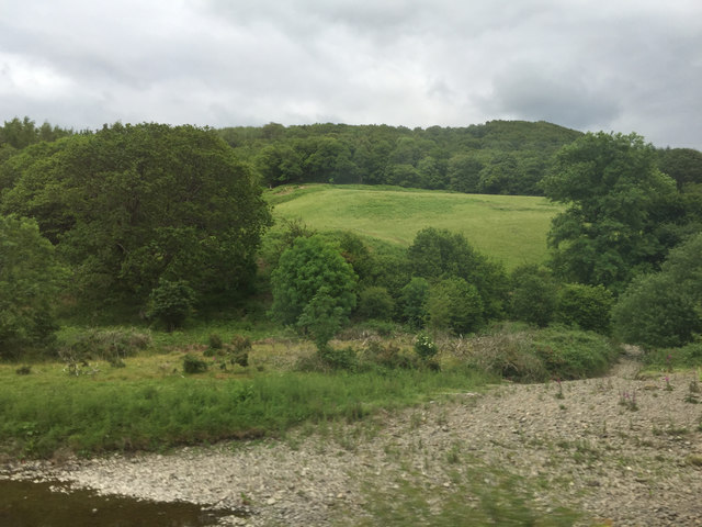
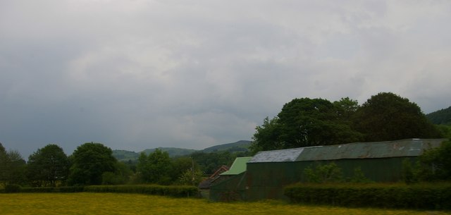
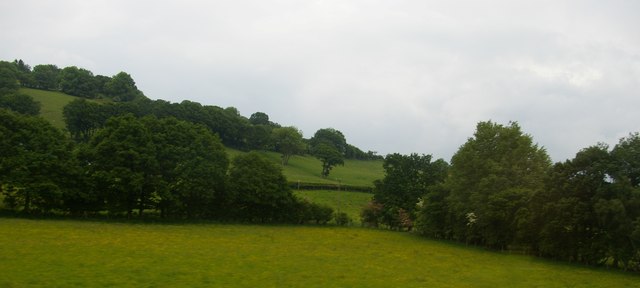
The hill is characterized by its steep slopes and rocky terrain, making it a popular destination for hikers, mountaineers, and nature enthusiasts. The summit of Allt Fawr provides a vantage point to admire the nearby valleys, rolling hills, and distant peaks. On clear days, it is even possible to catch glimpses of the Snowdonia National Park in the west.
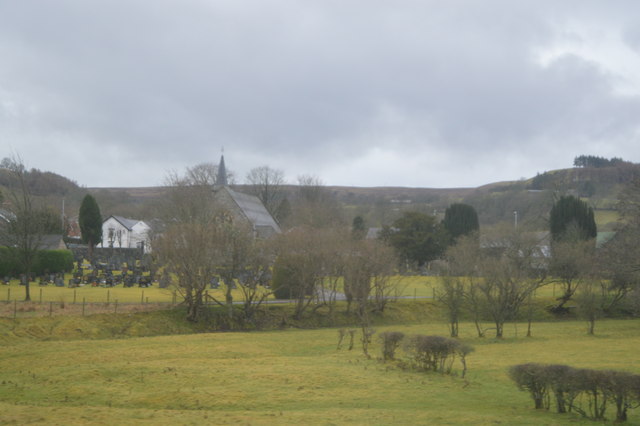
The ascent to the summit is challenging but rewarding, with several routes available for different levels of experience. The most popular trail starts from the village of Llangynog, leading through picturesque woodlands, moorlands, and open fields. Along the way, visitors can encounter a variety of flora and fauna, including heather, bilberries, and the occasional red kite soaring above.
Allt Fawr is part of the Berwyn Mountain range, which is known for its rich history and folklore. Legends of hidden treasures and mythical creatures add an air of mystique to the area, captivating the imagination of those who explore its slopes. Whether it's for the stunning views, outdoor adventures, or cultural intrigue, Allt Fawr offers an unforgettable experience for anyone seeking to connect with nature and explore the beauty of Montgomeryshire.
If you have any feedback on the listing, please let us know in the comments section below.
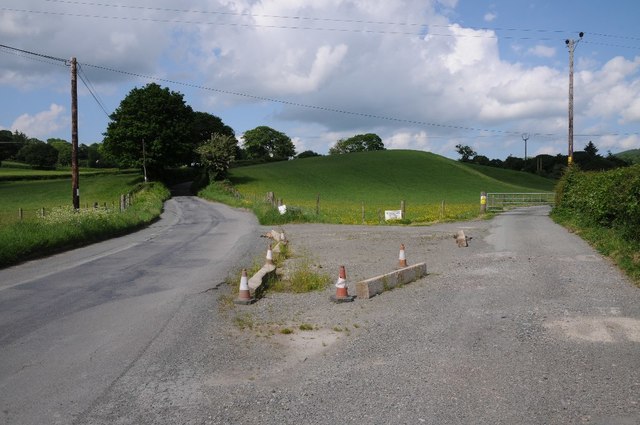
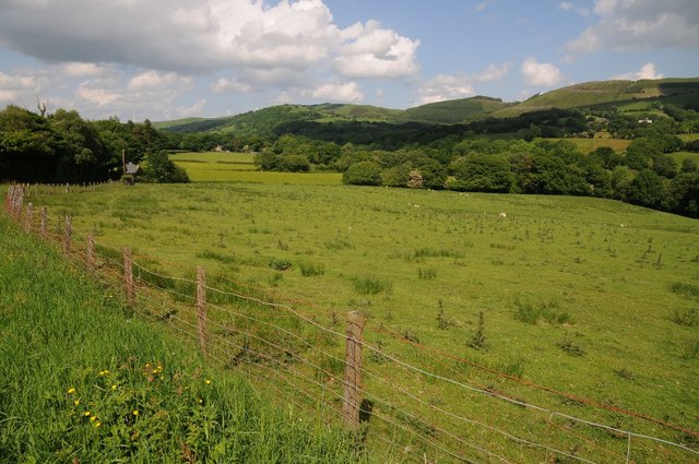
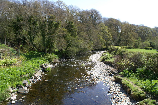
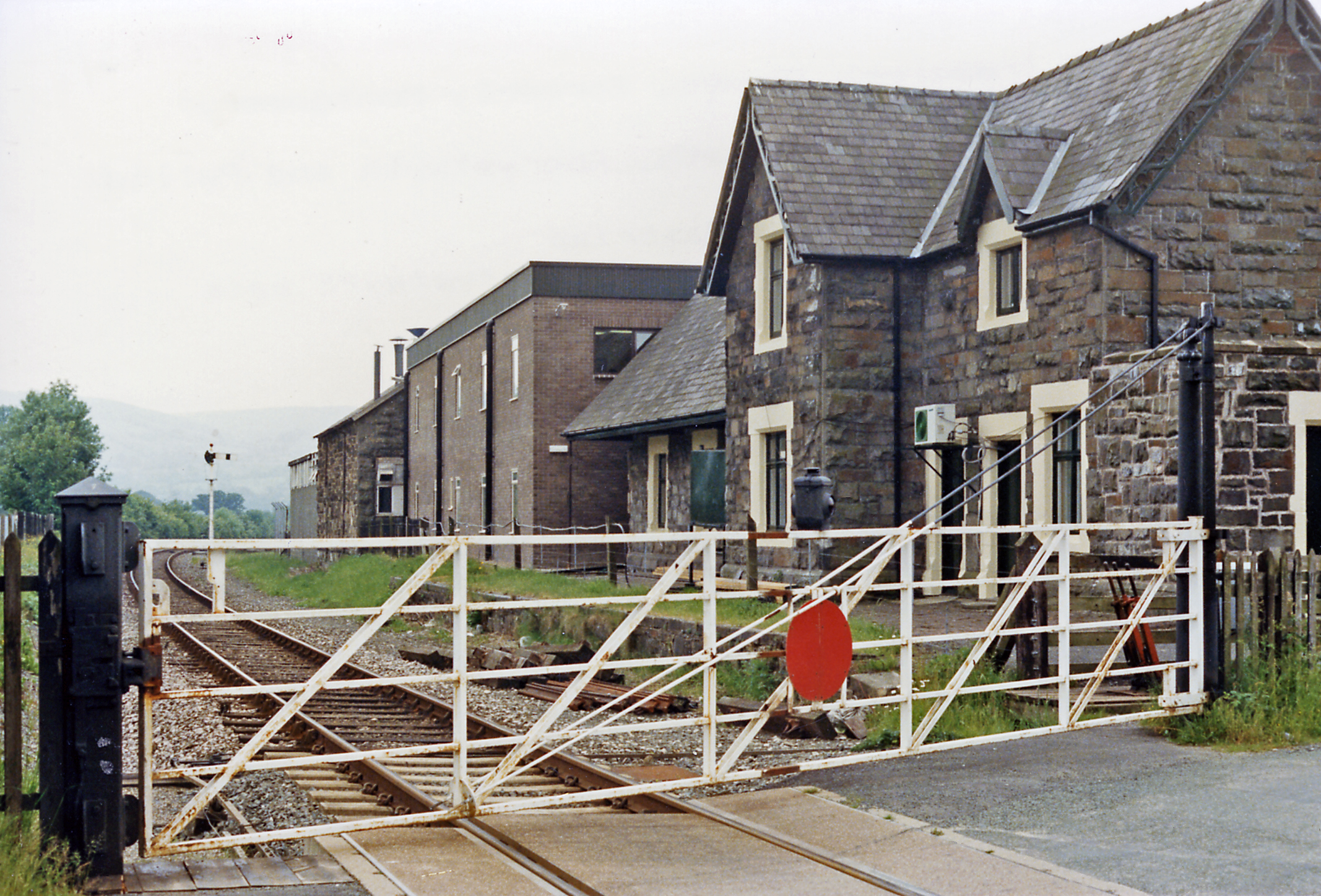
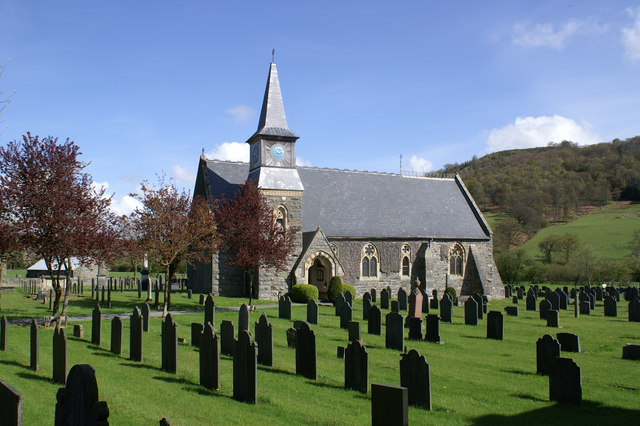
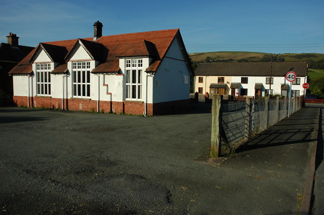
Allt Fawr Images
Images are sourced within 2km of 52.564812/-3.5213677 or Grid Reference SN9697. Thanks to Geograph Open Source API. All images are credited.
Allt Fawr is located at Grid Ref: SN9697 (Lat: 52.564812, Lng: -3.5213677)
Unitary Authority: Powys
Police Authority: Dyfed Powys
What 3 Words
///retrial.colleague.workroom. Near Staylittle, Powys
Nearby Locations
Related Wikis
River Carno
The River Carno (Welsh: Afon Carno) is a river in Powys, mid Wales, and a tributary of the River Severn. The river is named after the village of Carno...
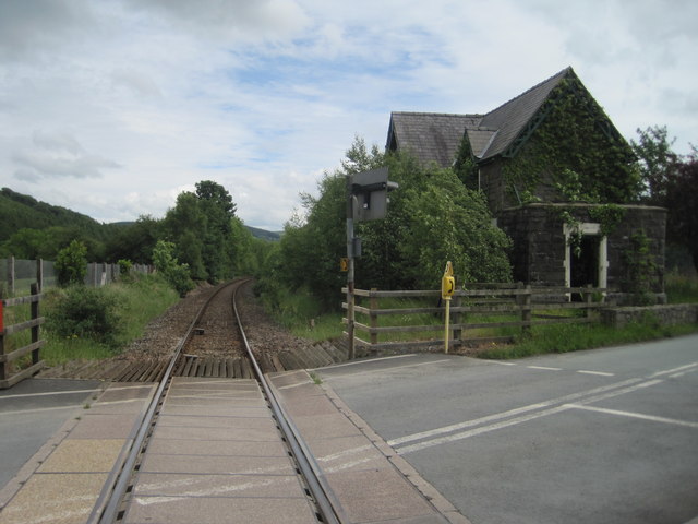
Carno railway station
Carno is a closed railway station in Carno, on the Cambrian Line, that was part of the Newtown and Machynlleth Railway. The station was closed in 1965...
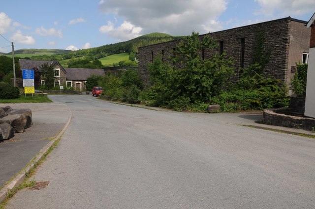
Carno
Carno is a village in Powys, Wales. The community, which is also a parish in the historic county of Montgomeryshire, comprises the townships of Derlwyn...

Carno F.C.
Carno Football Club is an amateur Welsh football team based in the village of Carno. The team competes in the Central Wales Northern Division. The club...
Golfa railway station
Golfa railway station is a preserved station that serves the area of Golfa, Powys, Wales, on the Welshpool and Llanfair Light Railway. == History == The...

Montgomeryshire
Montgomeryshire (Welsh: Sir Drefaldwyn meaning "the Shire of Baldwin's town") is one of thirteen historic counties and a former administrative county of...

Plasau Duon
Plasau Duon or Plasauduon is a timber-framed house, formerly in the parish of Carno, but now within the area of the community council of Caersws in...
Clatter, Powys
Clatter is a small village in Powys, Wales located in the community of Caersws on the main A470 road between Carno and Caersws village. == External... ==
Have you been to Allt Fawr?
Leave your review of Allt Fawr below (or comments, questions and feedback).