Slackend Hill
Hill, Mountain in West Lothian
Scotland
Slackend Hill
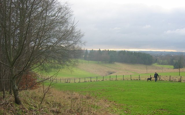
Slackend Hill is a prominent geographical feature located in West Lothian, Scotland. It is classified as a hill rather than a mountain, standing at an elevation of approximately 275 meters (902 feet) above sea level. Situated in the central lowlands of Scotland, it is part of the Bathgate Hills range, which stretches across West Lothian.
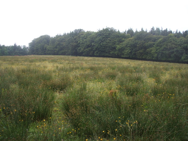
The hill is characterized by its distinctive shape and rugged terrain. Its slopes are covered in dense vegetation, consisting of grasslands, heather, and scattered trees. The summit offers panoramic views of the surrounding countryside, including the nearby towns of Bathgate and Armadale.
Slackend Hill is a popular destination for outdoor enthusiasts, attracting hikers, walkers, and nature lovers. Several well-marked trails traverse its slopes, providing opportunities for recreational activities and exploration. The hill's diverse flora and fauna add to its appeal, with various bird species, small mammals, and wildflowers found in its vicinity.
Its location within West Lothian makes Slackend Hill easily accessible from nearby urban areas and towns. It serves as a peaceful retreat from the hustle and bustle of city life, offering a serene and tranquil environment for visitors to enjoy.
Overall, Slackend Hill is a notable landmark in West Lothian, providing both recreational opportunities and natural beauty. Its combination of scenic landscapes and accessible trails make it an attractive destination for outdoor enthusiasts seeking to immerse themselves in Scotland's picturesque countryside.
If you have any feedback on the listing, please let us know in the comments section below.
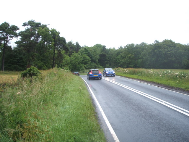
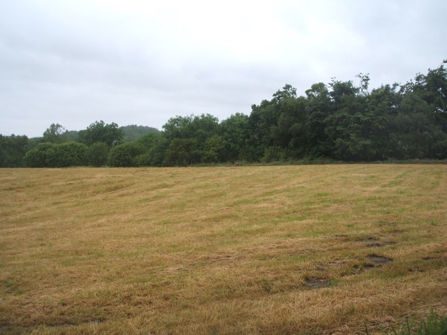
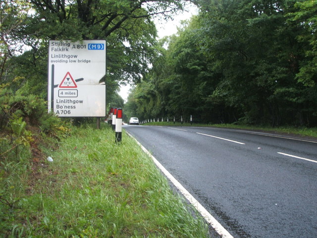
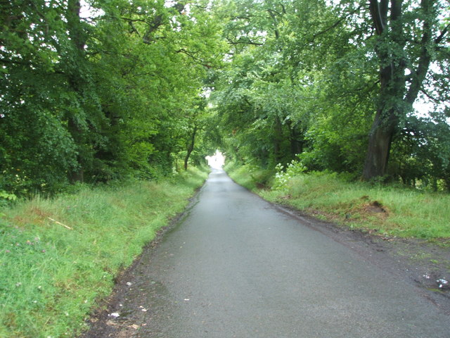
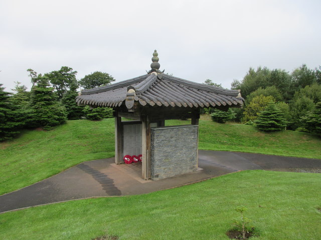
Slackend Hill Images
Images are sourced within 2km of 55.932081/-3.6508387 or Grid Reference NS9672. Thanks to Geograph Open Source API. All images are credited.


Slackend Hill is located at Grid Ref: NS9672 (Lat: 55.932081, Lng: -3.6508387)
Unitary Authority: West Lothian
Police Authority: The Lothians and Scottish Borders
What 3 Words
///directive.palettes.basis. Near Bathgate, West Lothian
Nearby Locations
Related Wikis
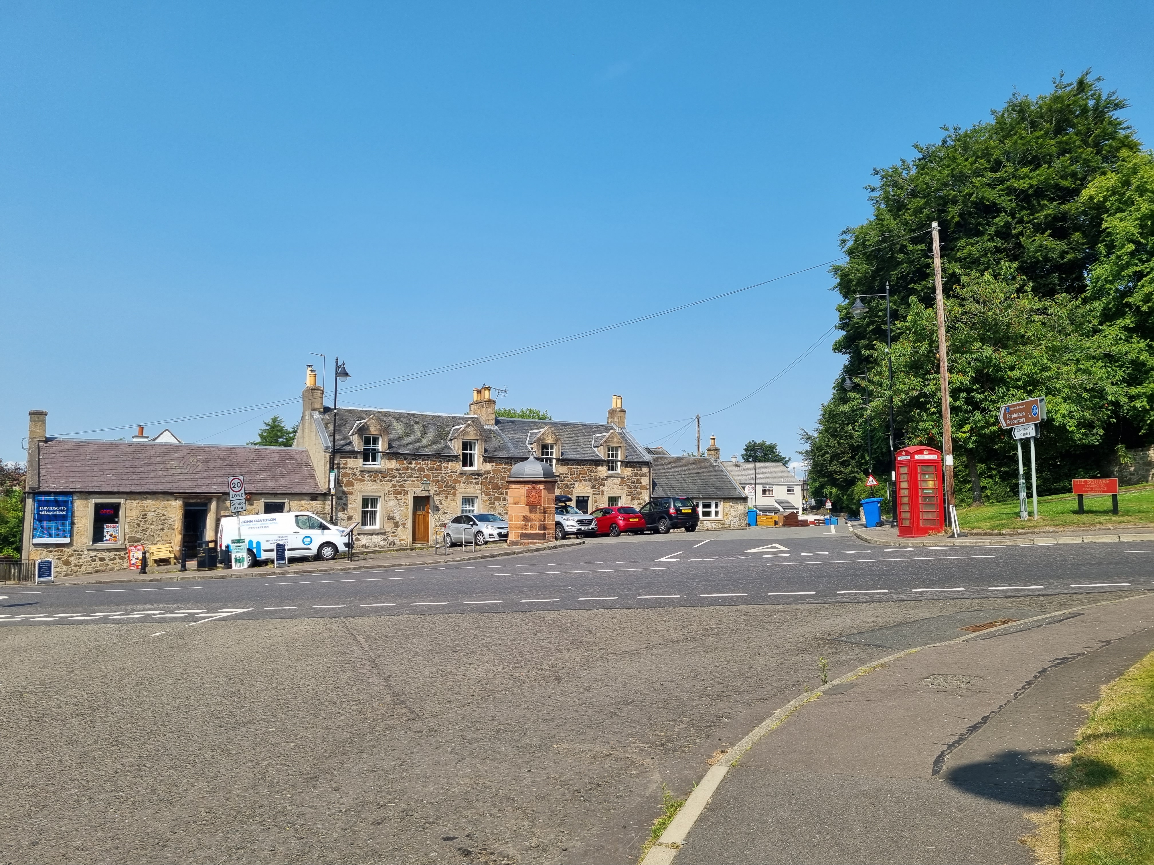
Torphichen
Torphichen ( tor-FIKH-ən) is a historic small village located north of Bathgate in West Lothian, Scotland. The village is approximately 18 miles (29 km...
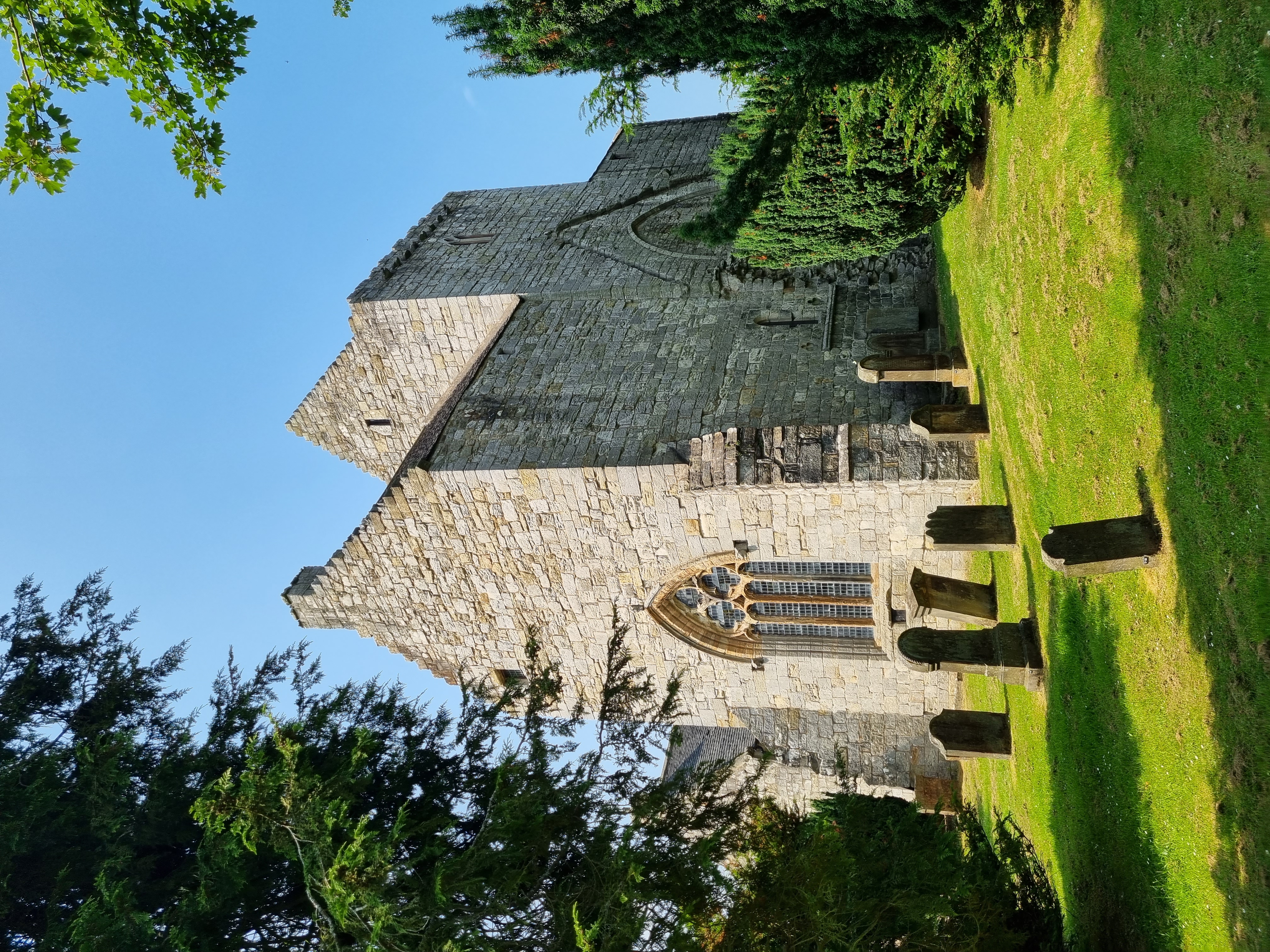
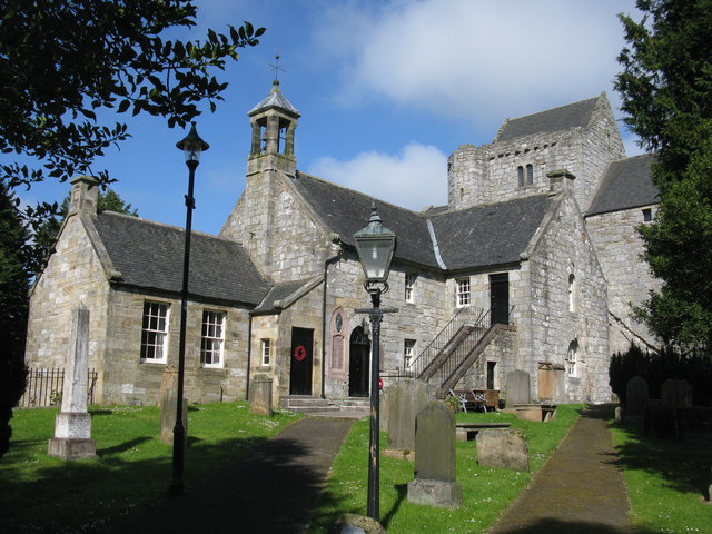
Torphichen Preceptory
Torphichen Preceptory is a church in the village of Torphichen, West Lothian, Scotland. It comprises the remains of the preceptory (headquarters) of the...

A801 road
The A801 is a road in Scotland which runs from east of Polmont to the A705 near Whitburn that heads towards Livingston in the other direction. The A801...

Cairnpapple Hill
Cairnpapple Hill is a hill with a dominating position in central lowland Scotland with views from coast to coast. It was used and re-used as a major ritual...
Ballencrieff, West Lothian
Ballencrieff is a settlement in West Lothian, Scotland, situated equidistant between the towns of Bathgate and Torphichen and seven miles south of Linlithgow...

Hilderston, West Lothian
Hilderston or Hilderstone in West Lothian, Scotland, was the site of the discovery of a vein of silver in 1606 and a mining operation that attracted international...

Balbardie House
Balbardie House was an 18th-century Scottish mansion house in West Lothian, Scotland, near to the town of Bathgate. == History == The house stood on the...

Bridge Castle
Bridge Castle is an L-plan castle, dating from the 16th century, standing on a rocky site 3 miles (4.8 km) north west of Bathgate in West Lothian, Scotland...
Nearby Amenities
Located within 500m of 55.932081,-3.6508387Have you been to Slackend Hill?
Leave your review of Slackend Hill below (or comments, questions and feedback).