Woodside Roundhill
Hill, Mountain in Clackmannanshire
Scotland
Woodside Roundhill
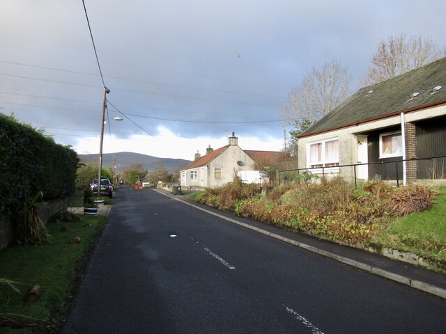
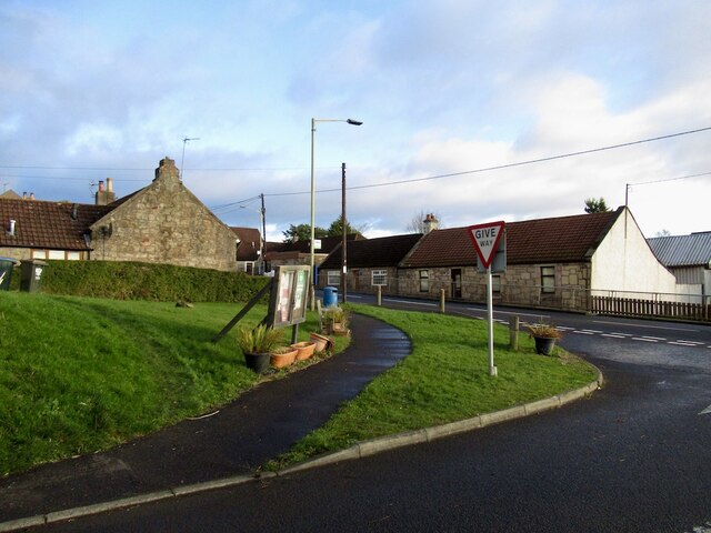
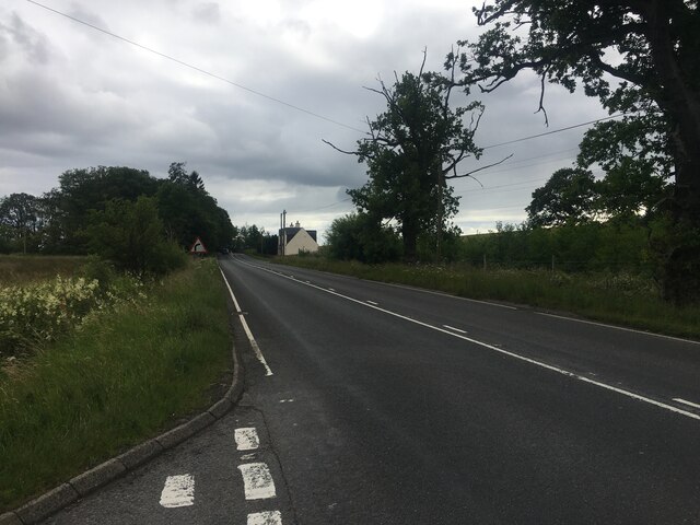
Woodside Roundhill is a prominent hill located in Clackmannanshire, Scotland. With an elevation of approximately 480 meters (1,575 feet), it is considered one of the tallest hills in the area. Situated near the village of Tillicoultry, Woodside Roundhill is a prominent feature of the local landscape.
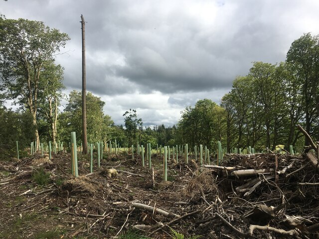
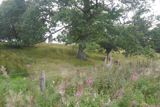
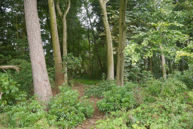
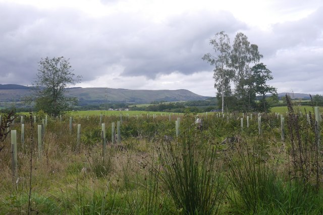
The hill is characterized by its distinctive rounded shape, which gives it its name. Covered in lush green vegetation, it offers breathtaking panoramic views of the surrounding countryside. On a clear day, visitors can enjoy stunning vistas of the Ochil Hills, the Forth Valley, and even the distant peaks of the Southern Highlands.
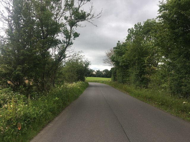
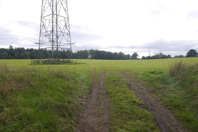
Woodside Roundhill is a popular destination for outdoor enthusiasts, attracting hikers, walkers, and nature lovers. Several well-maintained trails lead up to the summit, offering varying levels of difficulty to cater to different fitness levels. Along the paths, visitors can observe a variety of wildlife, including birds, rabbits, and occasionally even deer.
The hill also holds historical significance, with remnants of ancient settlements and structures scattered throughout its slopes. Archaeological findings suggest that the area was inhabited as far back as the Iron Age, and there are remnants of defensive ditches and fortifications that once protected the hilltop.
Overall, Woodside Roundhill is an impressive natural feature with a rich history, making it a must-visit destination for those seeking outdoor adventures or a glimpse into the past.
If you have any feedback on the listing, please let us know in the comments section below.
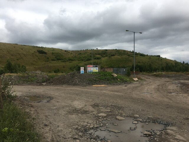
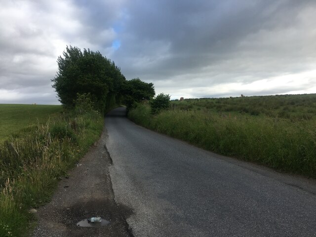
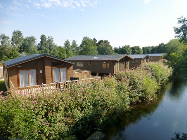
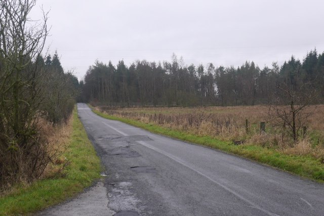
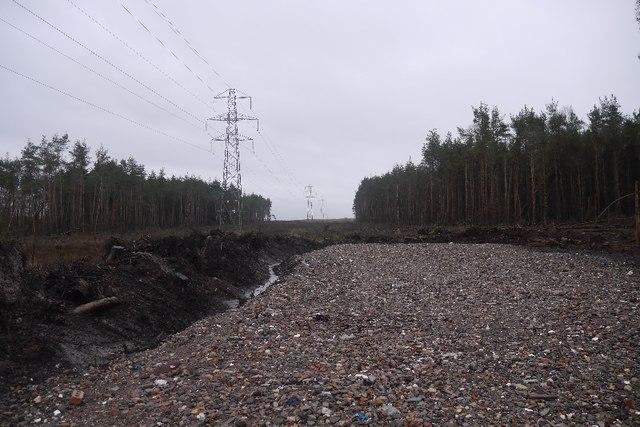
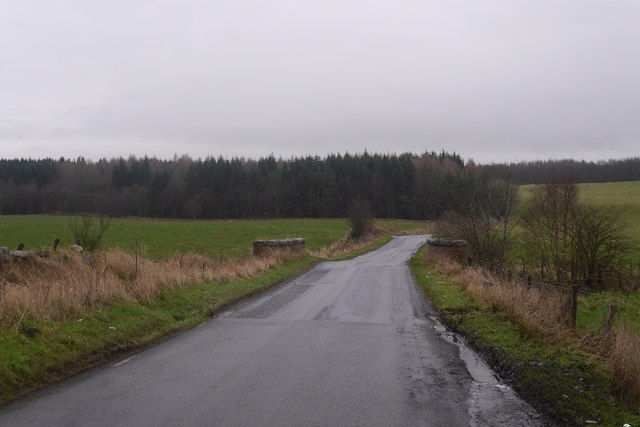
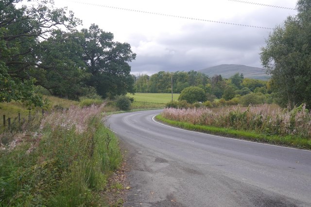
Woodside Roundhill Images
Images are sourced within 2km of 56.140919/-3.6593465 or Grid Reference NS9695. Thanks to Geograph Open Source API. All images are credited.


Woodside Roundhill is located at Grid Ref: NS9695 (Lat: 56.140919, Lng: -3.6593465)
Unitary Authority: Clackmannanshire
Police Authority: Forth Valley
What 3 Words
///spenders.steepest.uniforms. Near Dollar, Clackmannanshire
Nearby Locations
Related Wikis

Blairingone
Blairingone is a village in Perth and Kinross, Scotland. It lies on the A977 road at its intersection with Vicar's Bridge Road near the extreme south-westerly...

Devon Way
Devon Way is a pathway in Clackmannanshire, Central Scotland. It lies on the southern section of the former Devon Valley Railway from Dollar to Tillicoultry...

Dollar railway station
Dollar railway station served the village of Dollar, Clackmannanshire, Scotland from 1869 to 1964 on the Devon Valley Railway. == History == The station...

Forestmill
Forestmill (or Forest Mill) is a small hamlet in the county of Clackmannanshire, Scotland. It is situated on the A977 road between Kincardine and Kinross...

Dollar, Clackmannanshire
Dollar (Scottish Gaelic: Dolair) is a small town with a population of 2,800 people in Clackmannanshire, Scotland. It is 12 miles (19 kilometres) east of...

Dollar Glen
Dollar Glen is a small glen (valley) owned by the National Trust for Scotland. It is located in the Ochils that dramatically mark the Highland fault. It...
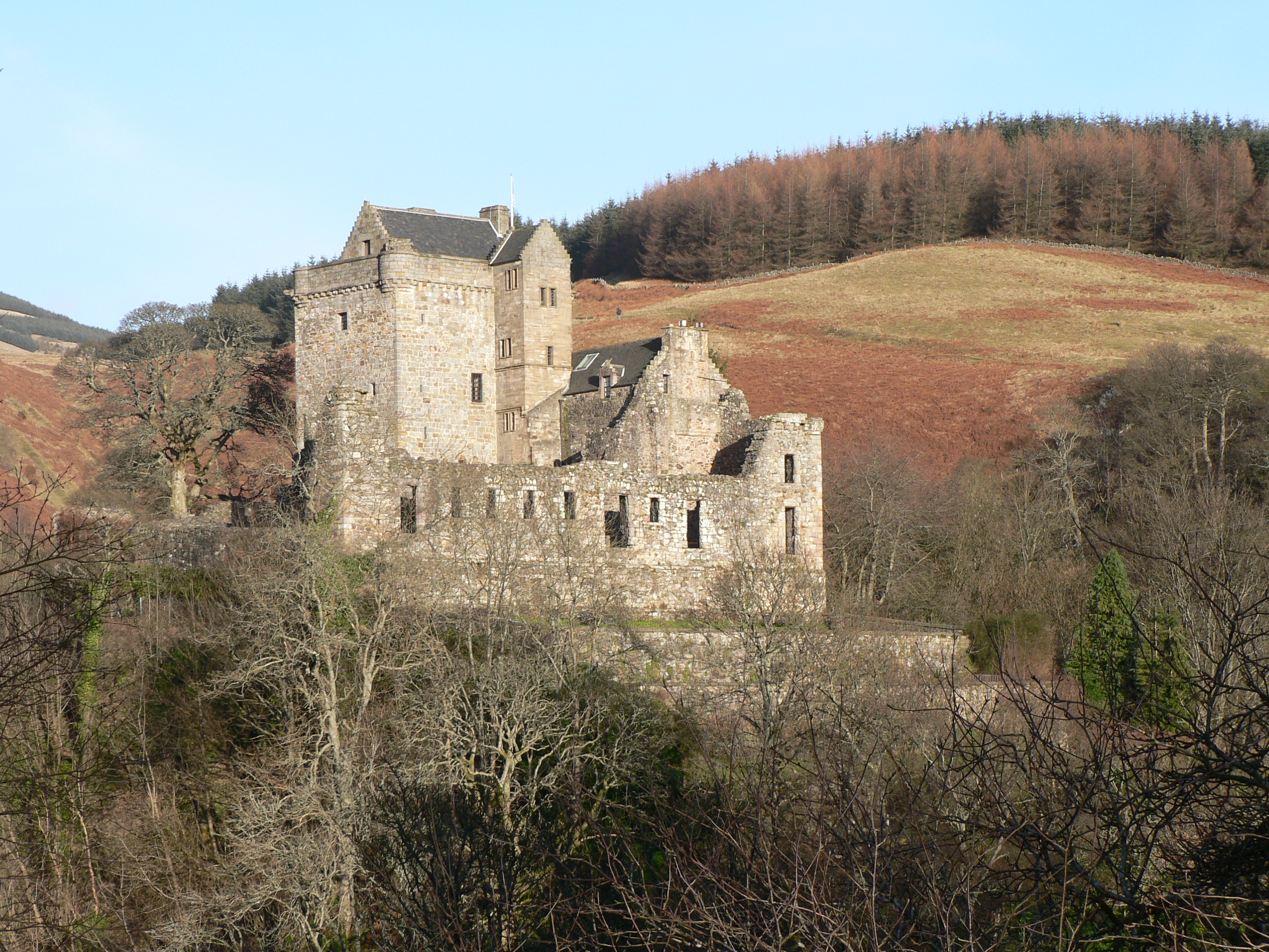
Castle Campbell
Castle Campbell is a medieval castle situated above the town of Dollar, Clackmannanshire, in central Scotland. It was the lowland seat of the earls and...
Brucefield House
Brucefield is an 18th-century country house in Clackmannanshire, Scotland. It is located 4 kilometres (2.5 mi) east of Clackmannan. The house was largely...
Nearby Amenities
Located within 500m of 56.140919,-3.6593465Have you been to Woodside Roundhill?
Leave your review of Woodside Roundhill below (or comments, questions and feedback).