Cefn Bola-maen

Hill, Mountain in Brecknockshire

Wales

Cefn Bola-maen

Llwybr ger Rhiwgoch / Path near Rhiwgoch Llwybr cyhoeddus ger Ffarm Rhiwgoch.

A public footpath near Rhiwgoch Farm (trans. red slope / hill).
Llwybr ger Rhiwgoch / Path near Rhiwgoch Credit: Alan Richards

Cefn Bola-maen is a prominent hill located in Brecknockshire, Wales. It rises to an elevation of approximately 1,535 feet (468 meters) above sea level, making it a notable landmark in the region. The hill is situated near the village of Llangors and offers stunning panoramic views of the surrounding countryside.

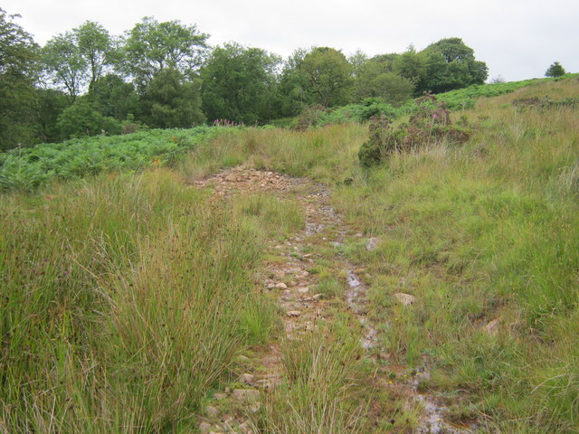
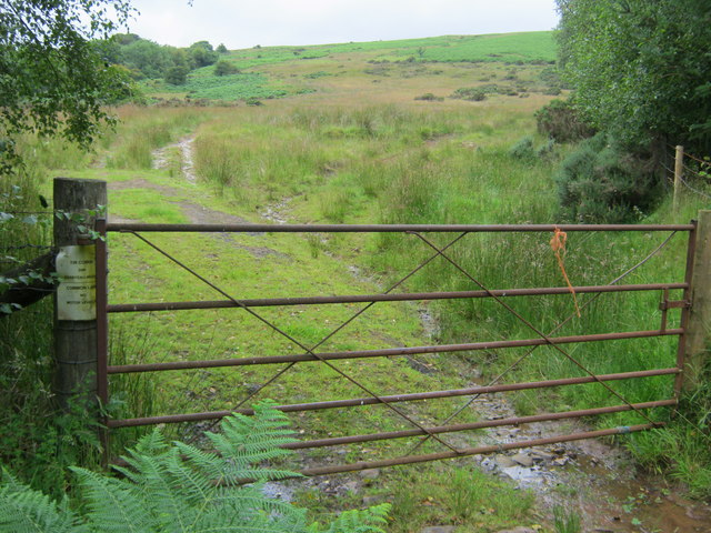
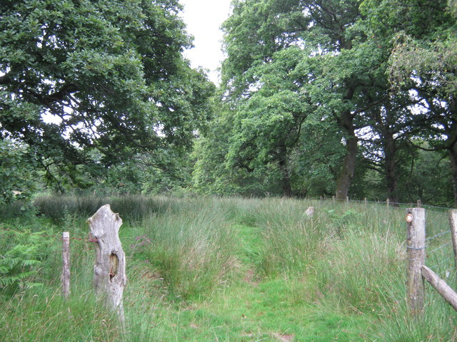
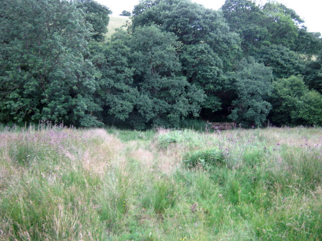
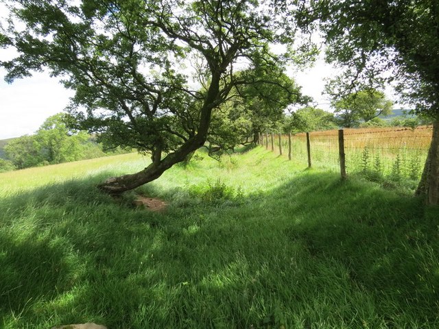
Cefn Bola-maen is characterized by its rugged terrain, with rocky outcrops and steep slopes that provide a challenging climb for hikers and outdoor enthusiasts. The hill is covered in lush green vegetation, including grasses, heather, and bracken, which provide habitat for a variety of wildlife species.

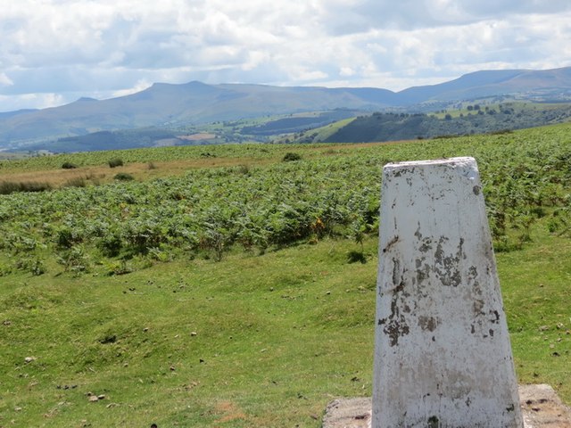
The summit of Cefn Bola-maen offers breathtaking views of the Brecon Beacons National Park, with its rolling hills, valleys, and mountains stretching out in all directions. On a clear day, visitors can see as far as the Black Mountains and the Bristol Channel.

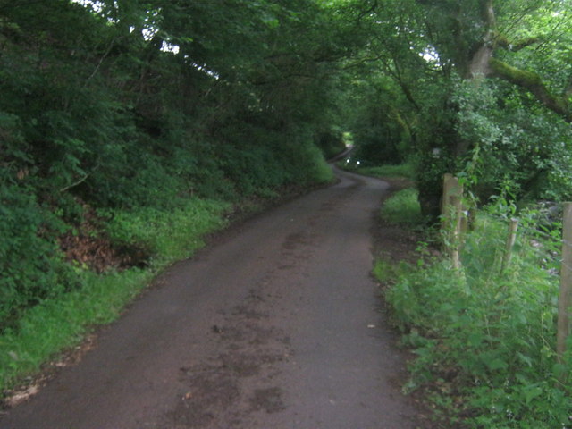
Overall, Cefn Bola-maen is a popular destination for hikers and nature lovers seeking a challenging climb and spectacular views of the Welsh countryside.

If you have any feedback on the listing, please let us know in the comments section below.

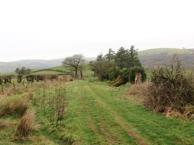
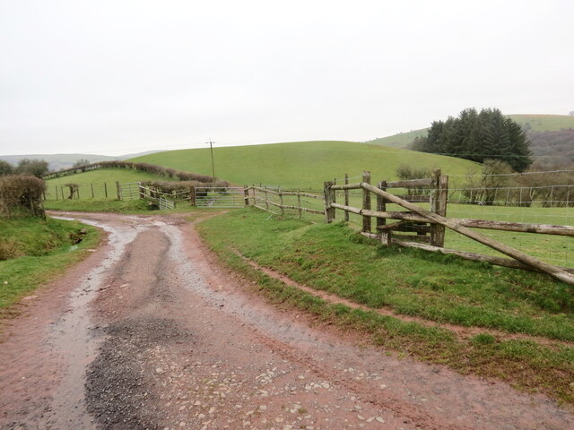
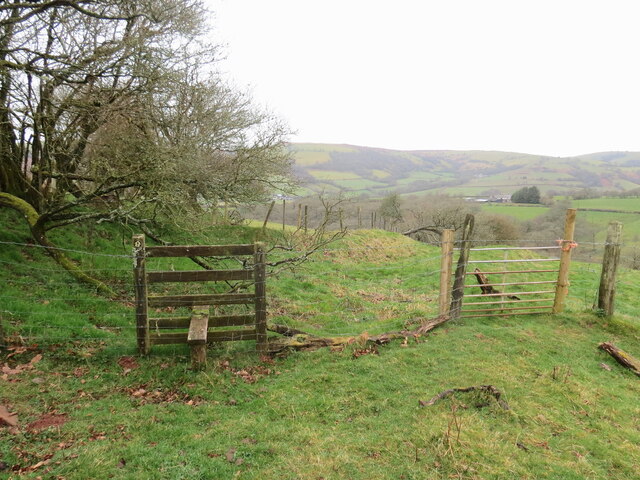
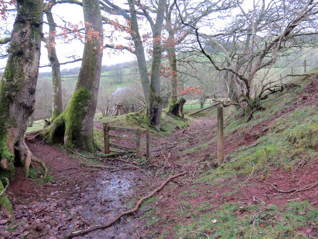
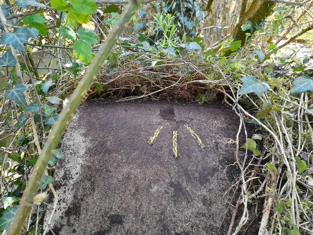
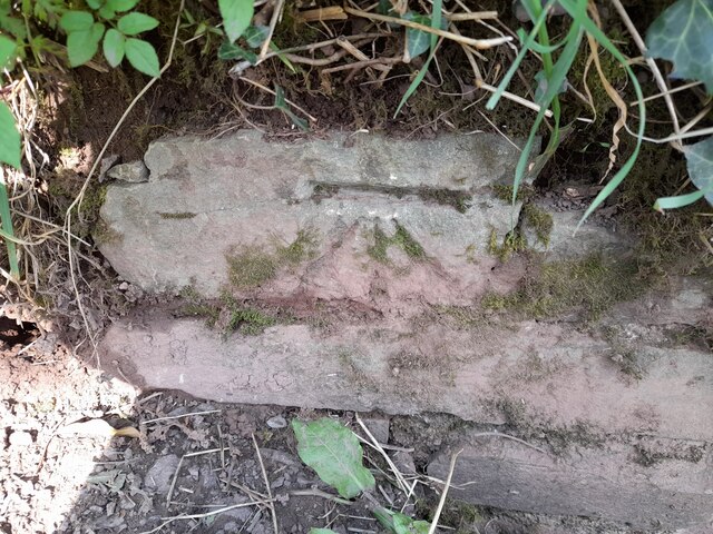
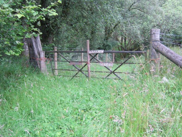
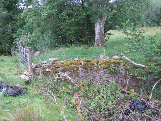
Cefn Bola-maen Images

Images are sourced within 2km of 52.002069/-3.5089385 or Grid Reference SN9634. Thanks to Geograph Open Source API. All images are credited.

Llwybr ger Rhiwgoch / Path near Rhiwgoch Llwybr cyhoeddus ger Ffarm Rhiwgoch.

A public footpath near Rhiwgoch Farm (trans. red slope / hill).
Llwybr ger Rhiwgoch / Path near Rhiwgoch
Llwybr cyhoeddus ger Ffarm Rhiwgoch. A public footpath near Rhiwgoch Farm (trans. red slope / hill).
Cyffordd o lwybrau / A junction of paths Cyffordd o lwybrau cyhoeddus ger Ffarm Rhiwgoch.

A junction of public footpaths near Rhiwgoch Farm (trans. red slope / hill).
Cyffordd o lwybrau / A junction of paths
Cyffordd o lwybrau cyhoeddus ger Ffarm Rhiwgoch. A junction of public footpaths near Rhiwgoch Farm (trans. red slope / hill).
Llwybr i Dynycwm / Path to Tynycwm Llwybr cyhoeddus yn mynd i lawr y waered i gyfeiriad Tynycwm a'r heol.

A public footpath descending the hill towards Tynycwm (trans. valley homestead) and the road.
Llwybr i Dynycwm / Path to Tynycwm
Llwybr cyhoeddus yn mynd i lawr y waered i gyfeiriad Tynycwm a'r heol. A public footpath descending the hill towards Tynycwm (trans. valley homestead) and the road.
Llwybr i Dynycwm / Path to Tynycwm Llwybr cyhoeddus yn agosau at yr heol ac anhedd-dy o'r enw Tynycwm.

A public footpath approaching the road and a property known as Tynycwm (trans. valley homestead).
Llwybr i Dynycwm / Path to Tynycwm
Llwybr cyhoeddus yn agosau at yr heol ac anhedd-dy o'r enw Tynycwm. A public footpath approaching the road and a property known as Tynycwm (trans. valley homestead).
Ordnance Survey Rivet This damaged OS rivet can be found on the SW parapet of the bridge. It marked a point 225.988m above mean sea level.
Ordnance Survey Rivet
This damaged OS rivet can be found on the SW parapet of the bridge. It marked a point 225.988m above mean sea level.
Ordnance Survey Cut Mark This OS cut mark can be found on the culvert NE side of the road. It marks a point 221.803m above mean sea level.
Ordnance Survey Cut Mark
This OS cut mark can be found on the culvert NE side of the road. It marks a point 221.803m above mean sea level.
Public footpath blocked by broken gate held to gate posts with baling twine
Cart bridge which had given access over an unnamed watercourse to Fotty-wen-isaf
Bridleway to Maen Richard
Field gate access to bridleway over common land
Drive to Troed y rhiw
Cil-fyndd
Cil-fyndd
Waymarked route in Tir Gofal access land
Path to gate at south of this Tir Gofal access land
A view from the north of Tyn Y Cwm
Cefn Bola Maen Piler triongli ar gopa Cefn Bola Maen. Yn y pellter gellir gweld bannau Pen y Fan a Chorn Du. 

A trig point on the summit of Cefn Bola Maen. The peaks of Pen y Fan and Corn Du can be seen in the distance
Cefn Bola Maen
Piler triongli ar gopa Cefn Bola Maen. Yn y pellter gellir gweld bannau Pen y Fan a Chorn Du. A trig point on the summit of Cefn Bola Maen. The peaks of Pen y Fan and Corn Du can be seen in the distance
Ceuffordd Pontfaen Hollow Way Hen geuffordd sy bellach yn llwybr ceffyl yn arwain o bentref Pontfaen at ucheldir a elwir Cefn Bola Maen.

An old hollow way, now a bridleway, ascending from the village of Pontfaen towards an upland area known as Cefn Bola Maen.
Ceuffordd Pontfaen Hollow Way
Hen geuffordd sy bellach yn llwybr ceffyl yn arwain o bentref Pontfaen at ucheldir a elwir Cefn Bola Maen. An old hollow way, now a bridleway, ascending from the village of Pontfaen towards an upland area known as Cefn Bola Maen.
Road to Tyn y Cwm
Road to Tyn y Cwm
Show me another place!

Cefn Bola-maen is located at Grid Ref: SN9634 (Lat: 52.002069, Lng: -3.5089385)

Unitary Authority: Powys

Police Authority: Dyfed Powys

What 3 Words

///business.implanted.cashew. Near Brecon, Powys

Related Wikis

Yscir with Honddu Isaf and Llanddew

Yscir with Honddu Isaf and Llanddew (formerly known as Yscir) is the name of an electoral ward in southern Powys, Wales. It covers five local government...

Llanfihangel Nant Brân

Llanfihangel Nant Brân is a small village lying next to the Nant Brân river in Powys, Wales about 7.5 miles (12 km) west of Brecon. It is largely a farming...

Merthyr Cynog

Merthyr Cynog is a hamlet and a community in the modern county of Powys, Wales, in the historic county of Brecknockshire. The population of the community...

Soar, Powys

Soar is a small village in Powys, Wales, 37 miles North West of Cardiff. It sits at the foot of Mynydd Epynt, and is near Brecon in the historic county...

Nearby Amenities

Located within 500m of 52.002069,-3.5089385
Maen Richard
Man Made: survey_point
Lat/Long: 52.0020744/-3.5089391
The data included in this document is from www.openstreetmap.org. The data is made available under ODbL.

Have you been to Cefn Bola-maen?

Leave your review of Cefn Bola-maen below (or comments, questions and feedback).