Colly Hill

Hill, Mountain in Somerset Somerset West and Taunton

England

Colly Hill

View across Lype Common
View across Lype Common Credit: thejackrustles

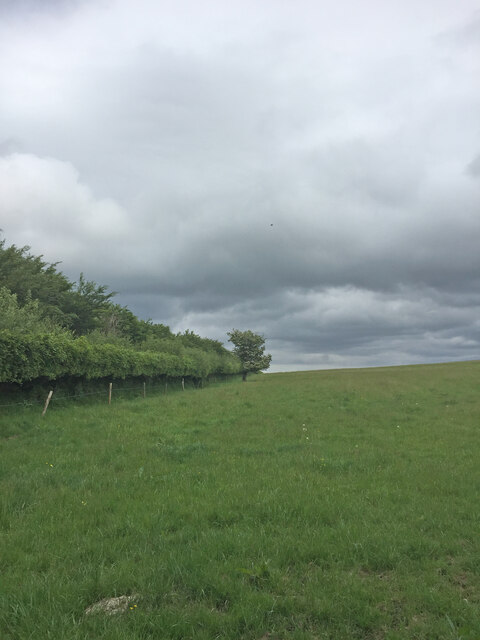
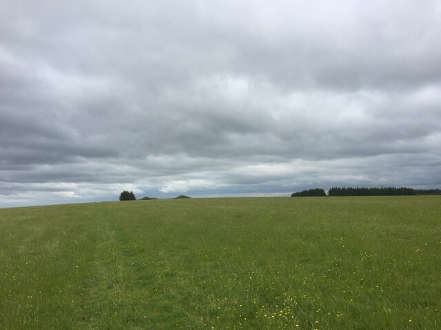
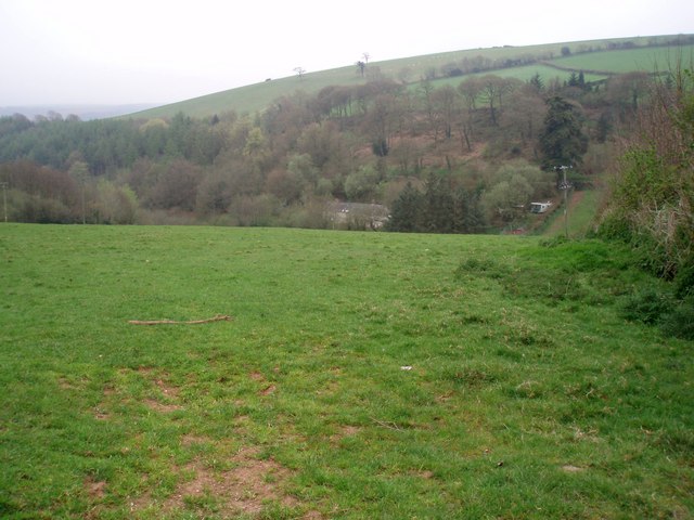
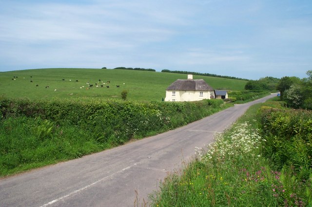
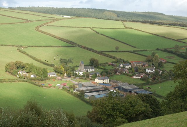
Colly Hill is a prominent hill located in Somerset, England. With an elevation of approximately 325 meters (1,066 feet), it is considered one of the notable natural landmarks in the region. Situated near the village of Compton Martin, Colly Hill is part of the Mendip Hills, a range known for its stunning landscapes and diverse wildlife.

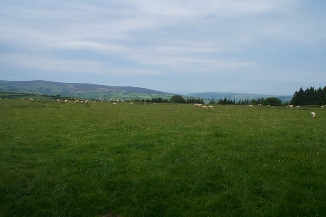
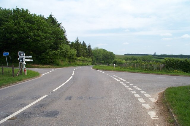
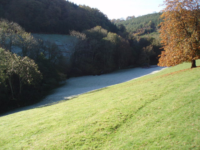
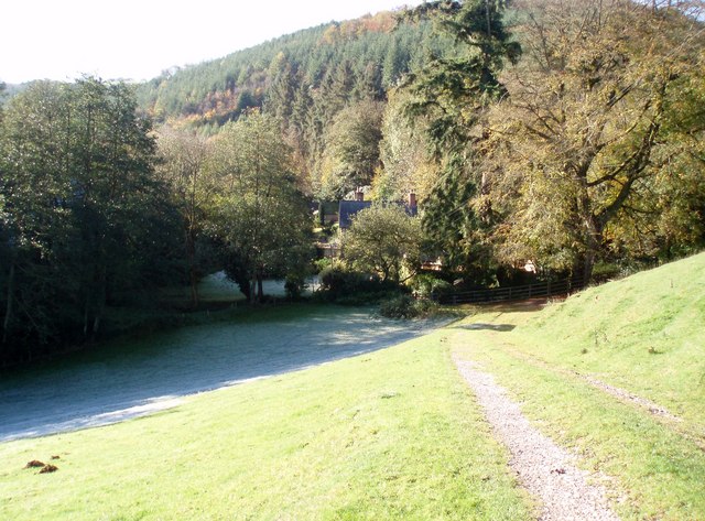
The hill is predominantly composed of limestone, which gives it a distinctive appearance and contributes to the area's geological significance. It has a gently sloping terrain, making it accessible to hikers and nature enthusiasts who are keen to explore its surroundings. The summit offers breathtaking panoramic views of the surrounding countryside, including the nearby Chew Valley Lake and the rolling hills of Somerset.

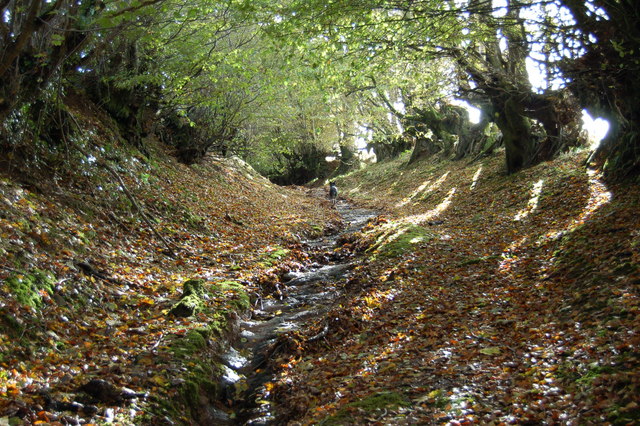
Colly Hill is also known for its rich biodiversity. The area supports a variety of plant species, including heather, gorse, and wildflowers, which carpet the hillside during the summer months. Additionally, the hill provides a habitat for a range of wildlife, including rabbits, foxes, and numerous bird species.

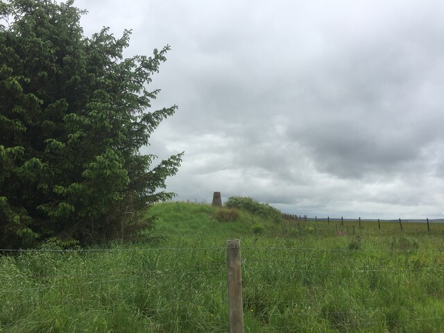
The hill holds historical significance as well. It is the site of an Iron Age hillfort, which dates back to around 300 BC. The remains of this fortification can still be seen today, adding to the hill's cultural value.

Overall, Colly Hill in Somerset offers visitors a chance to experience the beauty of the English countryside, with its stunning views, diverse flora and fauna, and historical attractions.

If you have any feedback on the listing, please let us know in the comments section below.

Colly Hill Images

Images are sourced within 2km of 51.123373/-3.4906962 or Grid Reference SS9537. Thanks to Geograph Open Source API. All images are credited.

View across Lype Common
View towards Lype Hill Trig Point
Lype Hill Trig Point Flush Bracket S3930
Gupworthy "Terminus" The old station buildings of what was the western end of the old Mineral Railway are now in private hands, but the sign on the gate refers to Gupworthy Terminus!
Gupworthy "Terminus"
The old station buildings of what was the western end of the old Mineral Railway are now in private hands, but the sign on the gate refers to Gupworthy Terminus!
St. Mary's Church Luxborough This unusual little church has an elevated position just above the part of Luxborough known as Churchtown.
St. Mary's Church Luxborough
This unusual little church has an elevated position just above the part of Luxborough known as Churchtown.
Nurcott Farm. This smart farm now offers holiday cottages to rent.
Nurcott Farm.
This smart farm now offers holiday cottages to rent.
View across the Valley Taken on a drizzly spring day, the solitary house in the bottom of the valley is on the lane to Chargot House.
View across the Valley
Taken on a drizzly spring day, the solitary house in the bottom of the valley is on the lane to Chargot House.
House at Couple Cross, in the Brendon Hills
Cottage north of Lype Hill On the road down to Timberscombe from Lype Hill
Cottage north of Lype Hill
On the road down to Timberscombe from Lype Hill
Bridleway at White Moor, near Lype Hill A public Bridleway, now part of the Coleridge Way long distance path, runs across this field from where the photo was taken. Obviously not used by horses, nor by many people!
Bridleway at White Moor, near Lype Hill
A public Bridleway, now part of the Coleridge Way long distance path, runs across this field from where the photo was taken. Obviously not used by horses, nor by many people!
Heath Poult Cross Looking east along the B3224, which runs along the top of the Brendon Hills
Heath Poult Cross
Looking east along the B3224, which runs along the top of the Brendon Hills
Telecoms Tower at Lype Common This massive tower dominates the skyline along the B3224 on the Brendon Hills. It is sited at one of the highest points, 400 metres above sea level.
Telecoms Tower at Lype Common
This massive tower dominates the skyline along the B3224 on the Brendon Hills. It is sited at one of the highest points, 400 metres above sea level.
Part of The Samaritans Way (South West) Torrential rain had recently washed away the thin layer of soil to expose the bedrock down the centre of this old and little-used bridleway.
Part of The Samaritans Way (South West)
Torrential rain had recently washed away the thin layer of soil to expose the bedrock down the centre of this old and little-used bridleway.
Churchtown viewed from Samaritans Way Churchtown, with it historic church, is one of the three hamlets which make up the Parish of Luxborough.
Churchtown viewed from Samaritans Way
Churchtown, with it historic church, is one of the three hamlets which make up the Parish of Luxborough.
Collyhill Wood From the footpath to Kennisham Hill.
Collyhill Wood
From the footpath to Kennisham Hill.
Ground frost and autumn sunshine Chargot Wood in the background.
Ground frost and autumn sunshine
Chargot Wood in the background.
House at the edge of Chargot Wood
Cutcombe: Old Stowey Looking down on the farm from the road between Heath Poult Cross and Timberscombe with Croydon Hill on the skyline. View east-north-east
Cutcombe: Old Stowey
Looking down on the farm from the road between Heath Poult Cross and Timberscombe with Croydon Hill on the skyline. View east-north-east
Show me another place!

Colly Hill is located at Grid Ref: SS9537 (Lat: 51.123373, Lng: -3.4906962)

Administrative County: Somerset

District: Somerset West and Taunton

Police Authority: Avon and Somerset

What 3 Words

///spoken.dimension.lizard. Near Minehead, Somerset

Related Wikis

Brendon Hills

The Brendon Hills are a range of hills in west Somerset, England. The hills merge level into the eastern side of Exmoor and are included within the Exmoor...

Gupworthy railway station

Gupworthy (sometimes referred to as "Goosemoor") was originally intended as an intermediate station on the West Somerset Mineral Railway (WSMR), but neither...

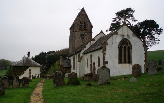
St Mary's Church, Luxborough

The Anglican St Mary's Church at Luxborough within the English county of Somerset dates from the 13th century. It is a Grade II listed building.The chancel...

Luxborough

Luxborough is a small village and civil parish located some 6 miles (9.7 km) south of Dunster, lying amongst the Brendon Hills and the Exmoor National...

Luxborough Road railway station

Luxborough Road (sometimes referred to as "Langham" or "Langham Hill") was an intermediate station on the West Somerset Mineral Railway (WSMR), which was...

Church of St John, Cutcombe

The Anglican Church of St John in Cutcombe, Somerset, England was built in the 13th and 14th centuries. It is a Grade II* listed building. == History... ==

Cutcombe

Cutcombe is a village and civil parish 9 miles (14 km) south of Minehead and north of Dulverton straddling the ridge between Exmoor and the Brendon Hills...

Timberscombe

Timberscombe is a village and civil parish on the River Avill 2.5 miles (4 km) south-west of Dunster, and 5.5 miles (9 km) south of Minehead within the...

Nearby Amenities

Located within 500m of 51.123373,-3.4906962
Collyhill Plantation
Place: locality
Lat/Long: 51.1204464/-3.488125
Lype Common
Place: locality
Lat/Long: 51.1232922/-3.4926408
Colly Hill
Place: locality
Lat/Long: 51.123482/-3.4855138
Woodland Brake
Place: locality
Lat/Long: 51.1261798/-3.4904144
The data included in this document is from www.openstreetmap.org. The data is made available under ODbL.

Have you been to Colly Hill?

Leave your review of Colly Hill below (or comments, questions and feedback).