Lype Hill
Hill, Mountain in Somerset Somerset West and Taunton
England
Lype Hill
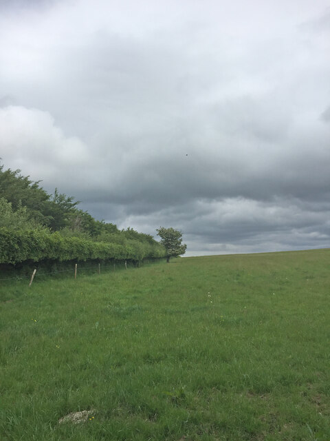
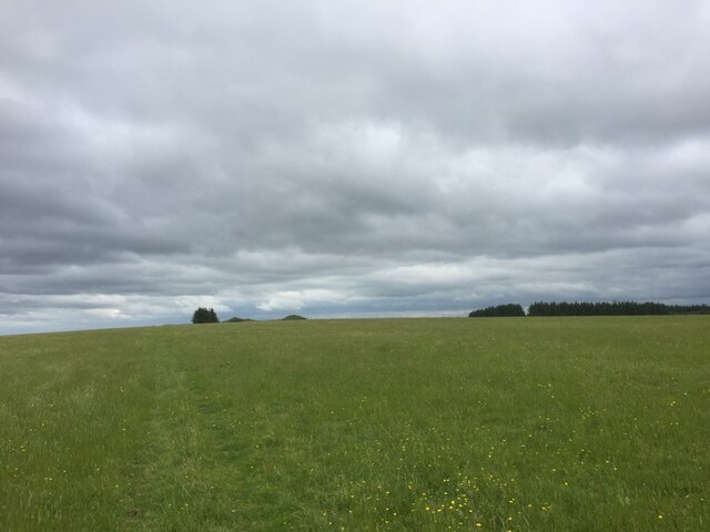
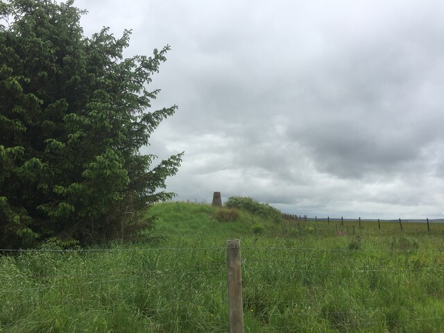
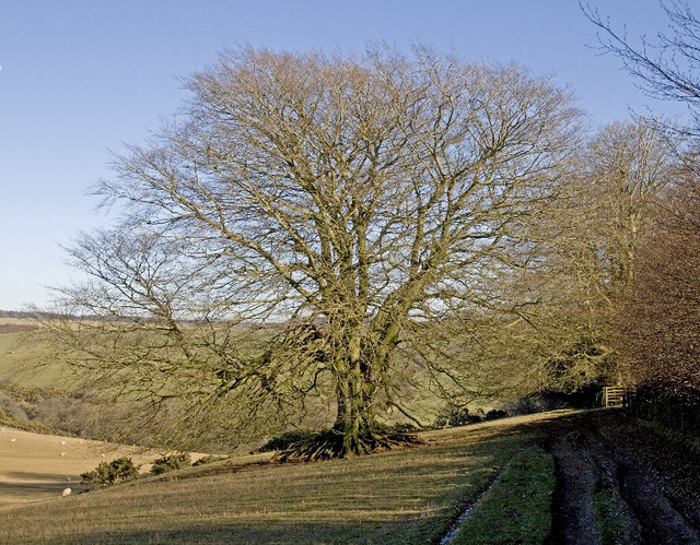
Lype Hill is a prominent hill located in the county of Somerset, England. Situated near the village of Nunney, it forms part of the Somerset Hills, which are renowned for their picturesque landscapes and rolling countryside. Lype Hill is categorized as a hill rather than a mountain due to its relatively modest elevation, standing at approximately 151 meters (495 feet) above sea level.
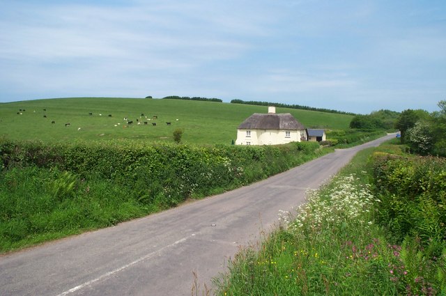
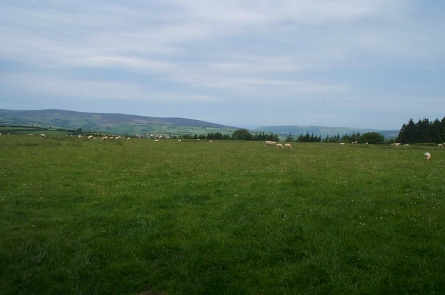
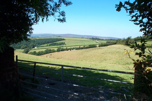
The hill offers breathtaking panoramic views of the surrounding area, including the charming village of Nunney and its medieval castle, which dates back to the 14th century. It is a popular tourist spot for those seeking a tranquil retreat or an opportunity to immerse themselves in nature. Visitors can enjoy leisurely walks along the various footpaths and bridleways that crisscross the hill, taking in the stunning vistas and observing the diverse flora and fauna that call the area home.
Lype Hill also holds historical significance, as it was the site of an Iron Age hillfort known as Castle Orchard. This ancient fortification, believed to have been constructed around 300 BC, is now a scheduled monument and a testament to the area's rich heritage.
In addition to its natural and historical attractions, Lype Hill is a designated Site of Special Scientific Interest (SSSI) due to its importance for wildlife conservation. The hill supports a variety of plant and animal species, including rare orchids and butterflies, making it a haven for nature enthusiasts and researchers alike.
Overall, Lype Hill in Somerset offers a delightful blend of natural beauty, cultural heritage, and ecological significance, making it a must-visit destination for anyone exploring the region.
If you have any feedback on the listing, please let us know in the comments section below.
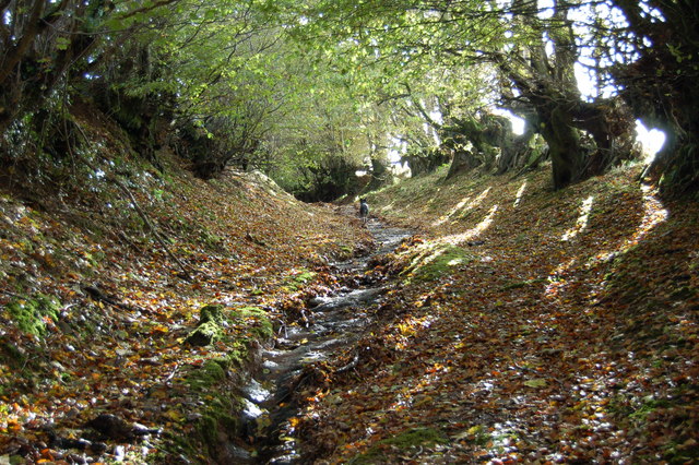
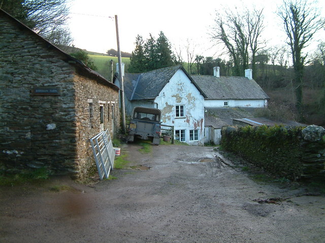
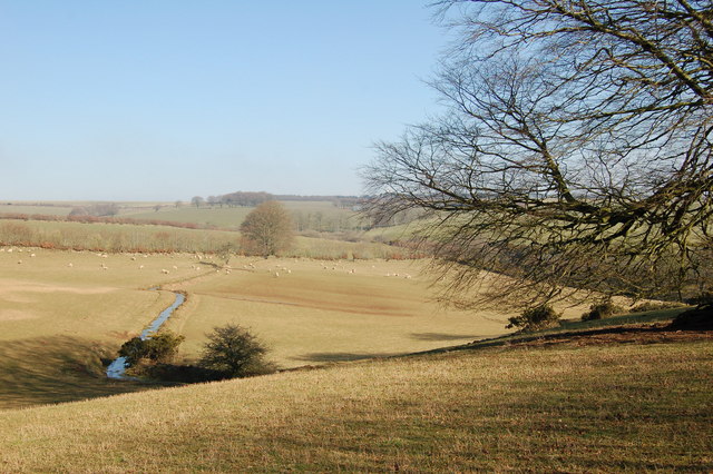
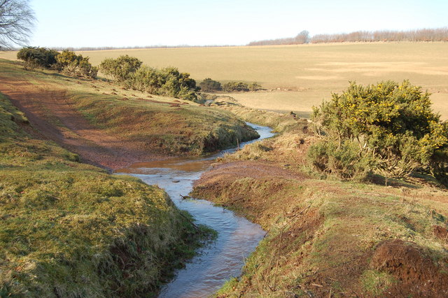
Lype Hill Images
Images are sourced within 2km of 51.123634/-3.5012648 or Grid Reference SS9537. Thanks to Geograph Open Source API. All images are credited.


Lype Hill is located at Grid Ref: SS9537 (Lat: 51.123634, Lng: -3.5012648)
Administrative County: Somerset
District: Somerset West and Taunton
Police Authority: Avon and Somerset
What 3 Words
///purse.loudly.indeed. Near Minehead, Somerset
Nearby Locations
Related Wikis

Brendon Hills
The Brendon Hills are a range of hills in west Somerset, England. The hills merge level into the eastern side of Exmoor and are included within the Exmoor...

Gupworthy railway station
Gupworthy (sometimes referred to as "Goosemoor") was originally intended as an intermediate station on the West Somerset Mineral Railway (WSMR), but neither...

St Mary's Church, Luxborough
The Anglican St Mary's Church at Luxborough within the English county of Somerset dates from the 13th century. It is a Grade II listed building.The chancel...

Luxborough
Luxborough is a small village and civil parish located some 6 miles (9.7 km) south of Dunster, lying amongst the Brendon Hills and the Exmoor National...

Church of St John, Cutcombe
The Anglican Church of St John in Cutcombe, Somerset, England was built in the 13th and 14th centuries. It is a Grade II* listed building. == History... ==
Cutcombe
Cutcombe is a village and civil parish 9 miles (14 km) south of Minehead and north of Dulverton straddling the ridge between Exmoor and the Brendon Hills...

Timberscombe
Timberscombe is a village and civil parish on the River Avill 2.5 miles (4 km) south-west of Dunster, and 5.5 miles (9 km) south of Minehead within the...

Luxborough Road railway station
Luxborough Road (sometimes referred to as "Langham" or "Langham Hill") was an intermediate station on the West Somerset Mineral Railway (WSMR), which was...
Nearby Amenities
Located within 500m of 51.123634,-3.5012648Have you been to Lype Hill?
Leave your review of Lype Hill below (or comments, questions and feedback).